

Open this route in the app to prepare your next outing.

Details
Approach
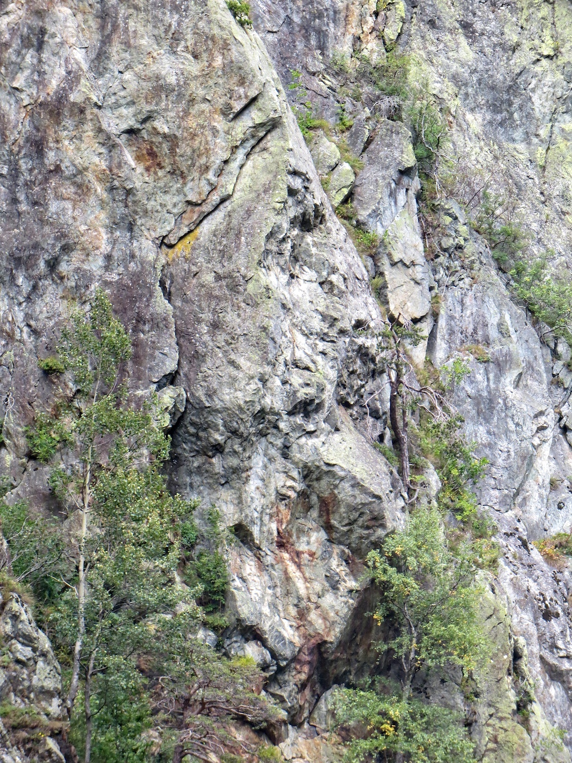
Martigny to Sembrancher road. At the entrance to Sembrancher go around the roundabout and back towards Martigny for 500 metres where a sharp turn of to the right leads into a quarry, “Gravière”. Drive up the track to a hairpin turning back to the right and park well off the road. The crag is clearly visible over to the left, (back to the main road,)and slightly higher. A track leads W from the hairpin, marked with red and white stripe indicators, (Le Chemin des Mines, an “adventure” path which goes up the right hand side of the cliff, fixed ropes, traverses the forest along the top and then down the left hand side, chains.). Follow this track, through a ruined concrete building, for 20 min. The start is to the left of a large rock pillar with an overhanging prow,(secteur Vaucher); at the foot of an easy angled pillar notable for its orange colour. The name is painted on the rock.
Route
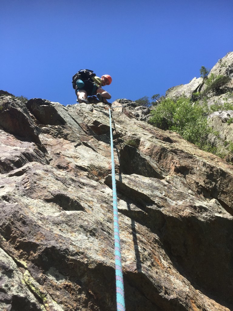
L#| 5b | Climb the pillar, several “boulder” moves. L#| 5b | Traverse leftwards a few metres and gain the line of the ridge, airy, by a move of 5a, followed by broken rocks and some awkward moves to the belay. L#| 5c | (things start to get more serious ….) Cross a loose gully on the right to get established back on rock. Climb several bulges (4c) to gain the foot of a beautiful flake crack. Climb it, exiting to the right to a good but airy foothold. (More impressive than difficult with a bolt at the exit.) Climb the short crack in the pillar that leads to a comfortable stance. L#| 3c | A very short pitch in order to avoid rope drag and problems with loose rock. Climb the line of the little pillar and traverse on an earthy ledge to reach a belay at the foot of a crack. L#| 5c/6a | Climb the corner with several delicate and interesting moves, the second part is more thin and difficult with climbing on small holds on a bulging slab which has surprises… There is an easy and a hard way, (for you to find!) Belay a little higher on a wall to the right. L#| 6a | Continue up the corner to an obvious overhang, pass it (6a, well protected) and continue by easy cracks (4). Traverse to the right towards a ledge and overcome the last steep section by a move of 5c+, easily avoided. Exit into a pleasant forest.
Descent (15-20mins)
It is an easy walk off. Go up slightly then follow the faint path, cairns, to the left (facing uphill.) After a short section of easy scrambling go up a little gully and then left again to join the “Chemin des Mines” path, which is followed back to foot of the route. (Some sections have been equipped with chains, but be careful of loose rock.)
- The 6a on the last pitch is a bouldering move. It is well protected, (foot sling possible.)
- Pitches 3 and 5 are particularly fine/impressive.
- Pitch 1 is a bit polished.

The text and images in this page are available
under a Creative Commons CC-by-sa licence.

Download the Whympr App to view this route in 3D.
- Route search (100 000)
- Community returns
- Weather forecast
- Avalanche bulletin
- Race book
- Creation of tracks
- Topographic map (including IGN)