

Open this route in the app to prepare your next outing.

Details
Approach # 45mins
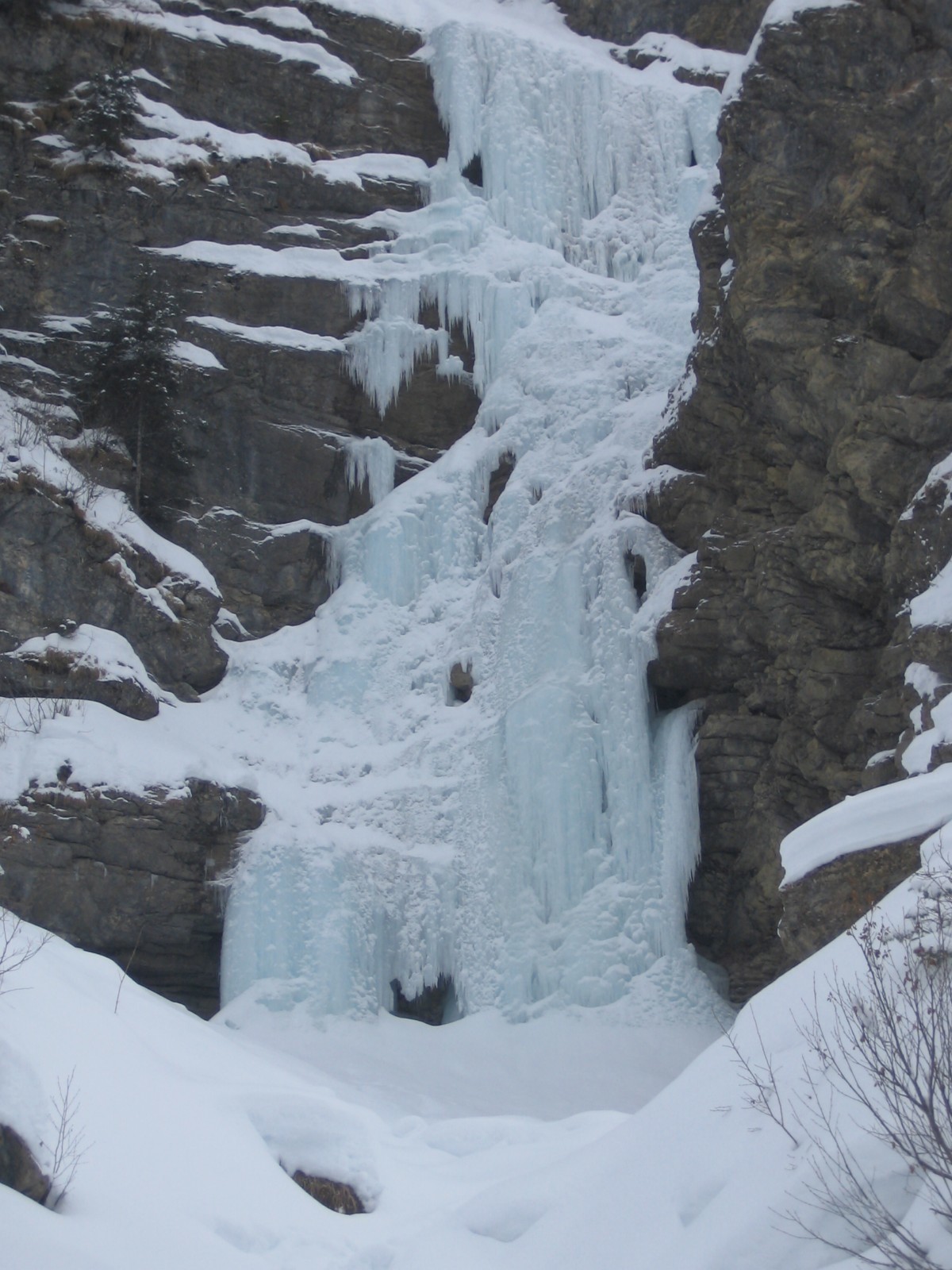
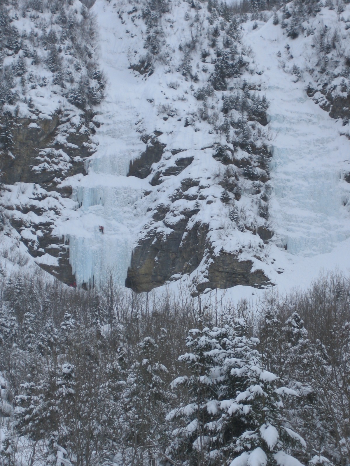
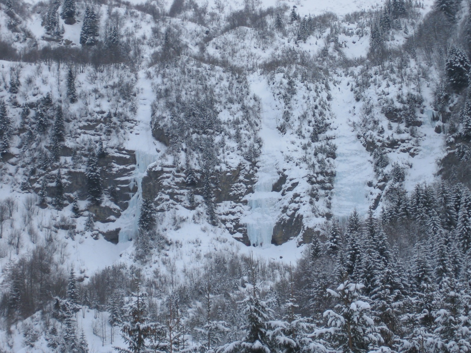
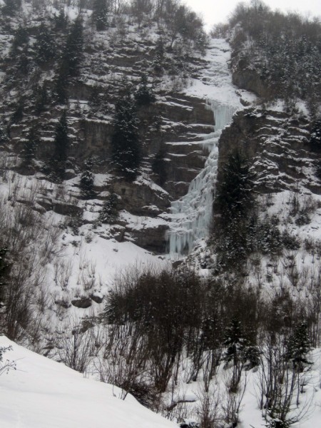
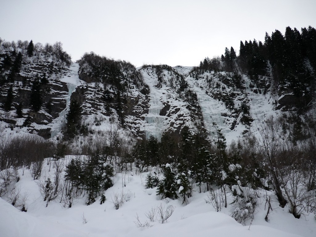
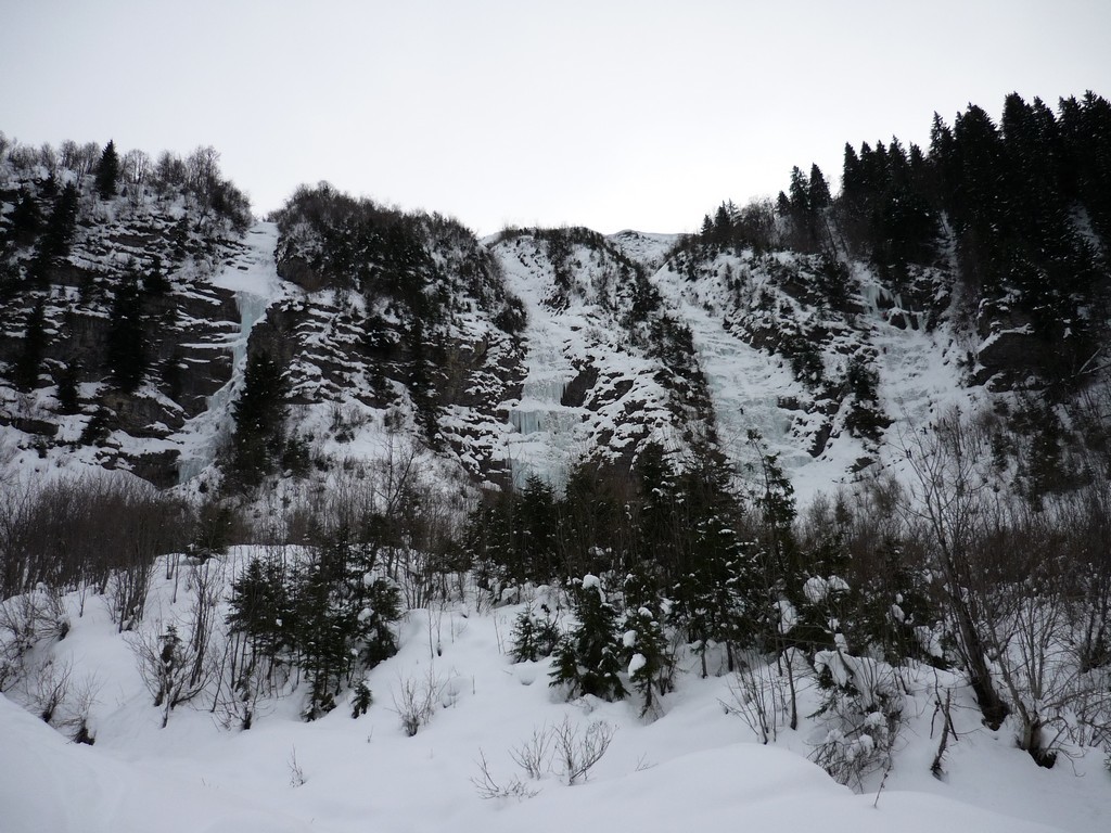
Follow the road from Le Reposoir towards the Col de la Colombière, At the third hairpin take a little road which passes by the La Côte David to end at a bridge crossing the Foron river. From the parking, cross the bridge and head southwards. You go through a forest to reach a meadow from where you can clearly see the icefalls. There are three main lines, ( with a lesser line further right.) This route takes the left hand one.
Route
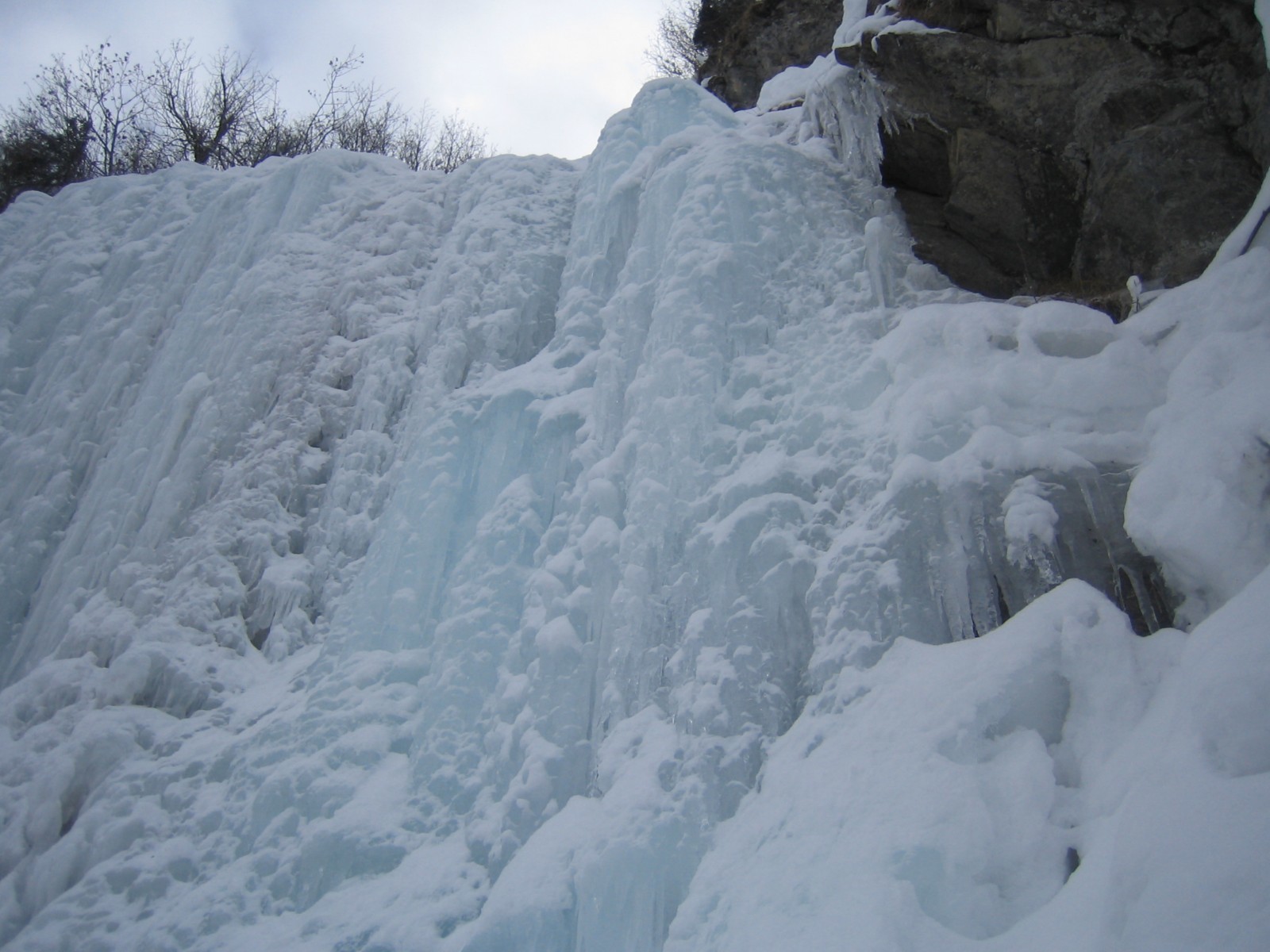
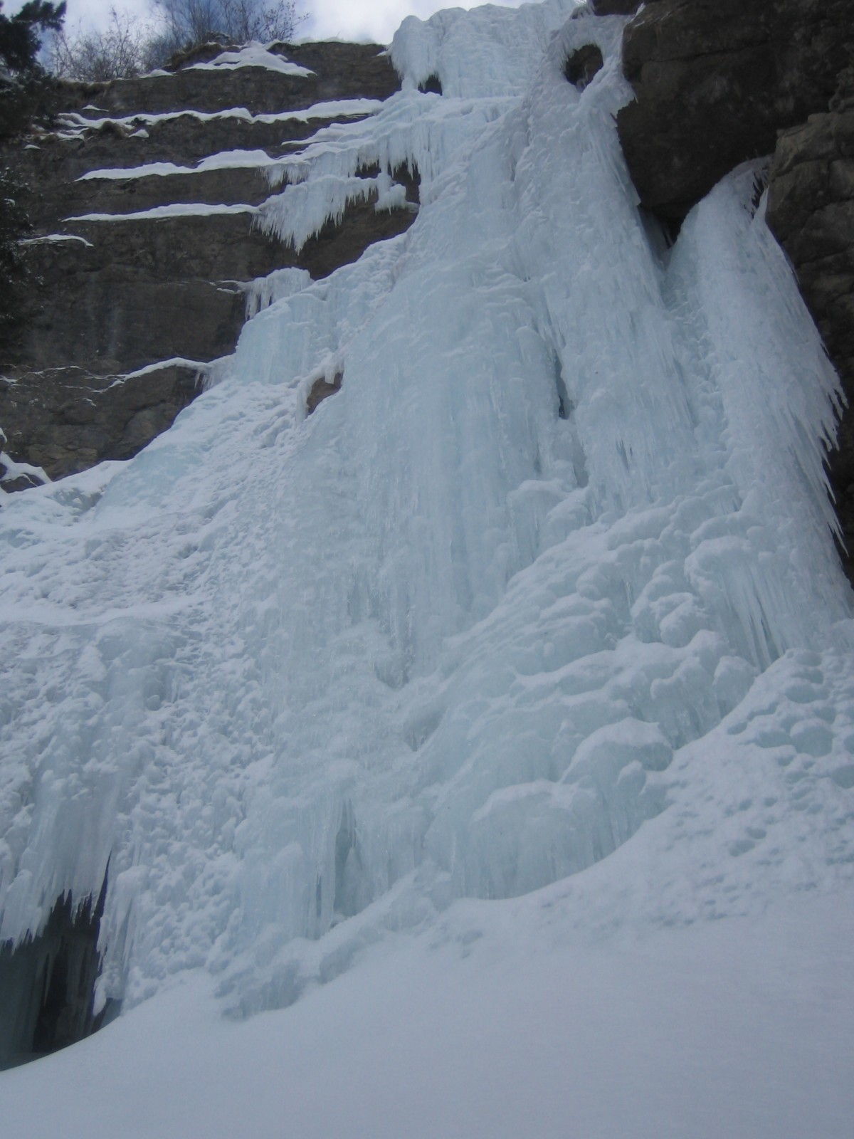
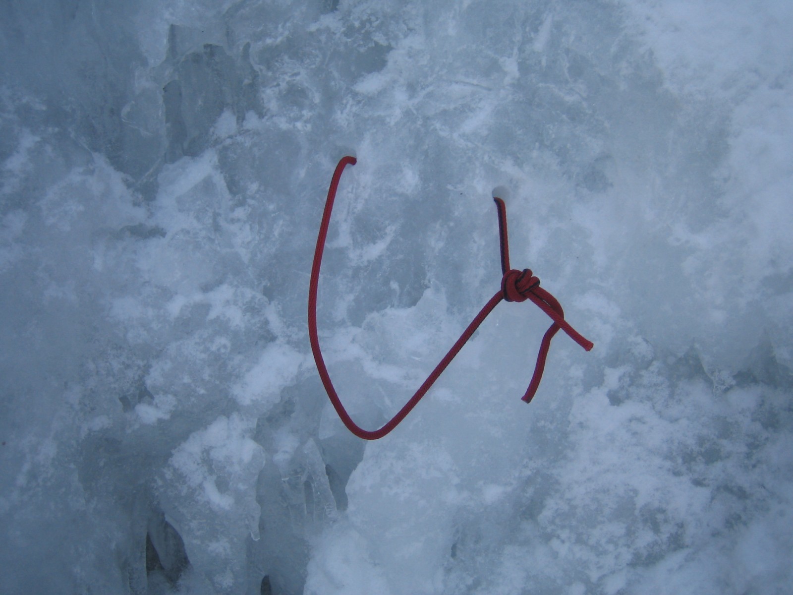
L# | : Vertical for a few metres then the angle eases. Start by going up to the right until reaching the rock at the foot of the second vertical step. Belay on a bolt and pegs.
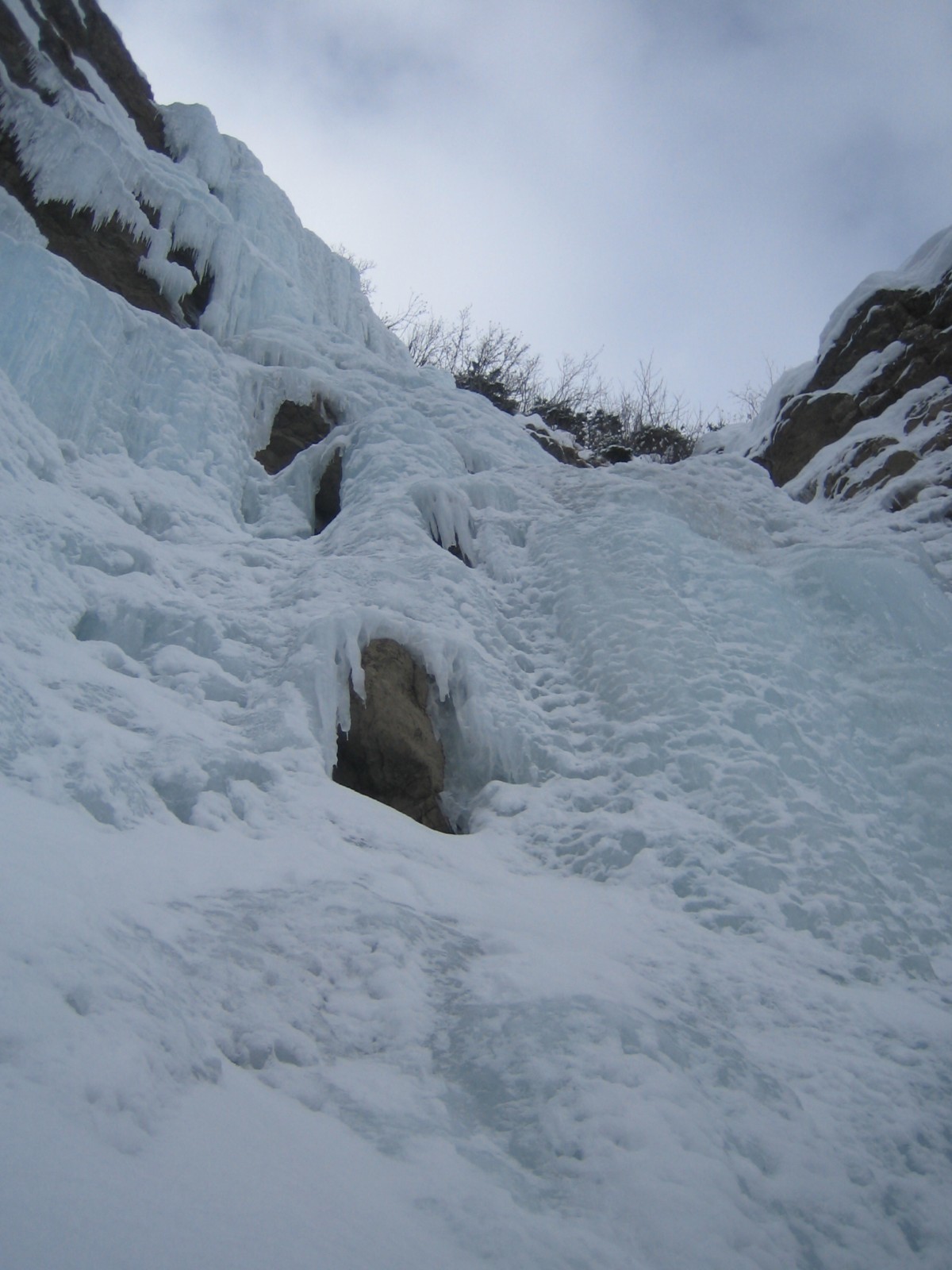
L# | : The start of the second pitch is the crux of the route, vertical for several metres of sculptured ice, usually more difficult on the left than on the right. Above the step, the angle eases to reach a bolt belay on the right.
L# | : The easiest pitch. A fairly steep slope with bulges to finish at a tree belay on the left. Slings needed.
Descent
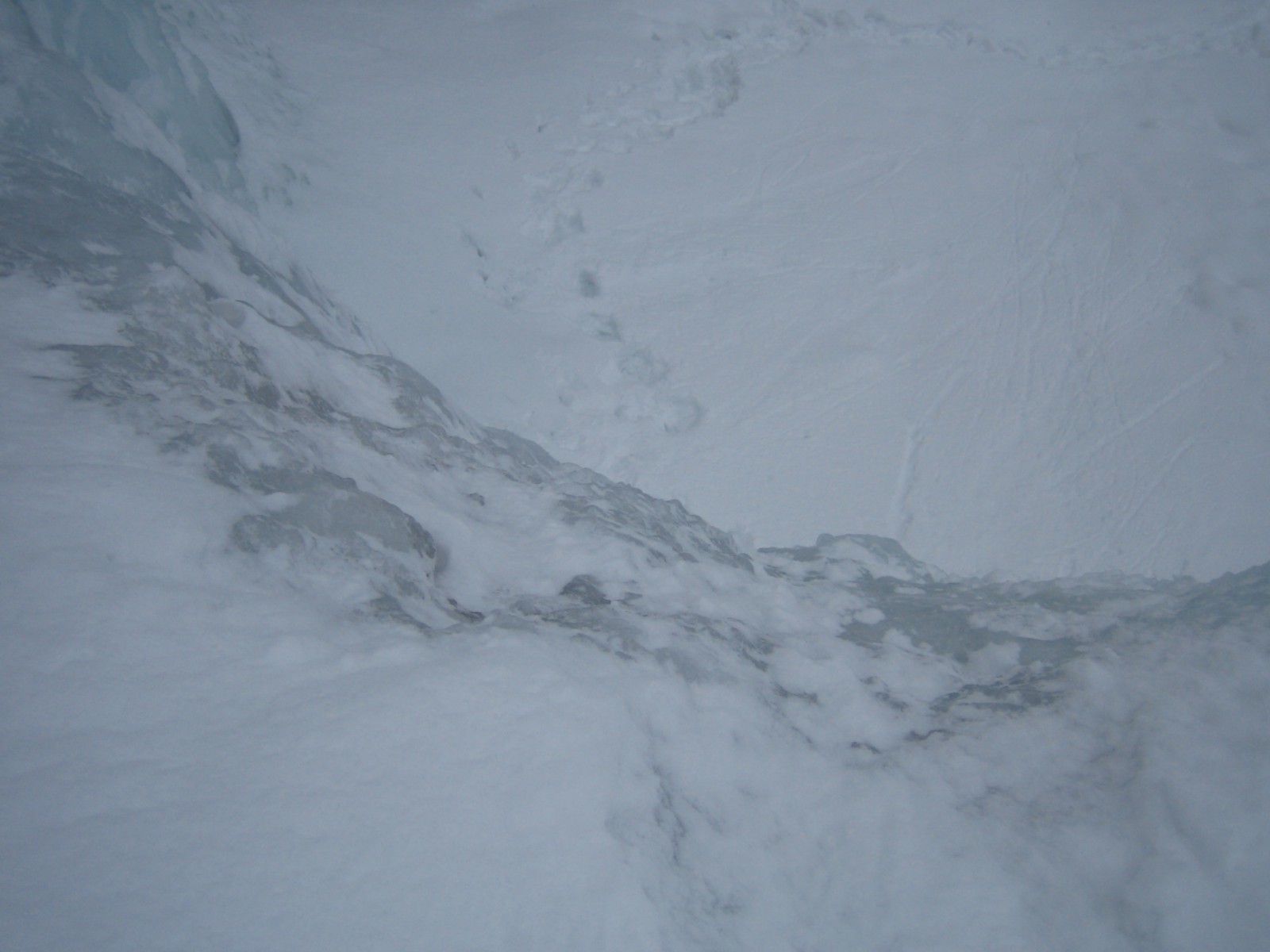
3 Abseils back down the icefall.

The text and images in this page are available
under a Creative Commons CC-by-sa licence.

Download the Whympr App to view this route in 3D.
- Route search (100 000)
- Community returns
- Weather forecast
- Avalanche bulletin
- Race book
- Creation of tracks
- Topographic map (including IGN)