

Open this route in the app to prepare your next outing.




Details
Approach 60 mins
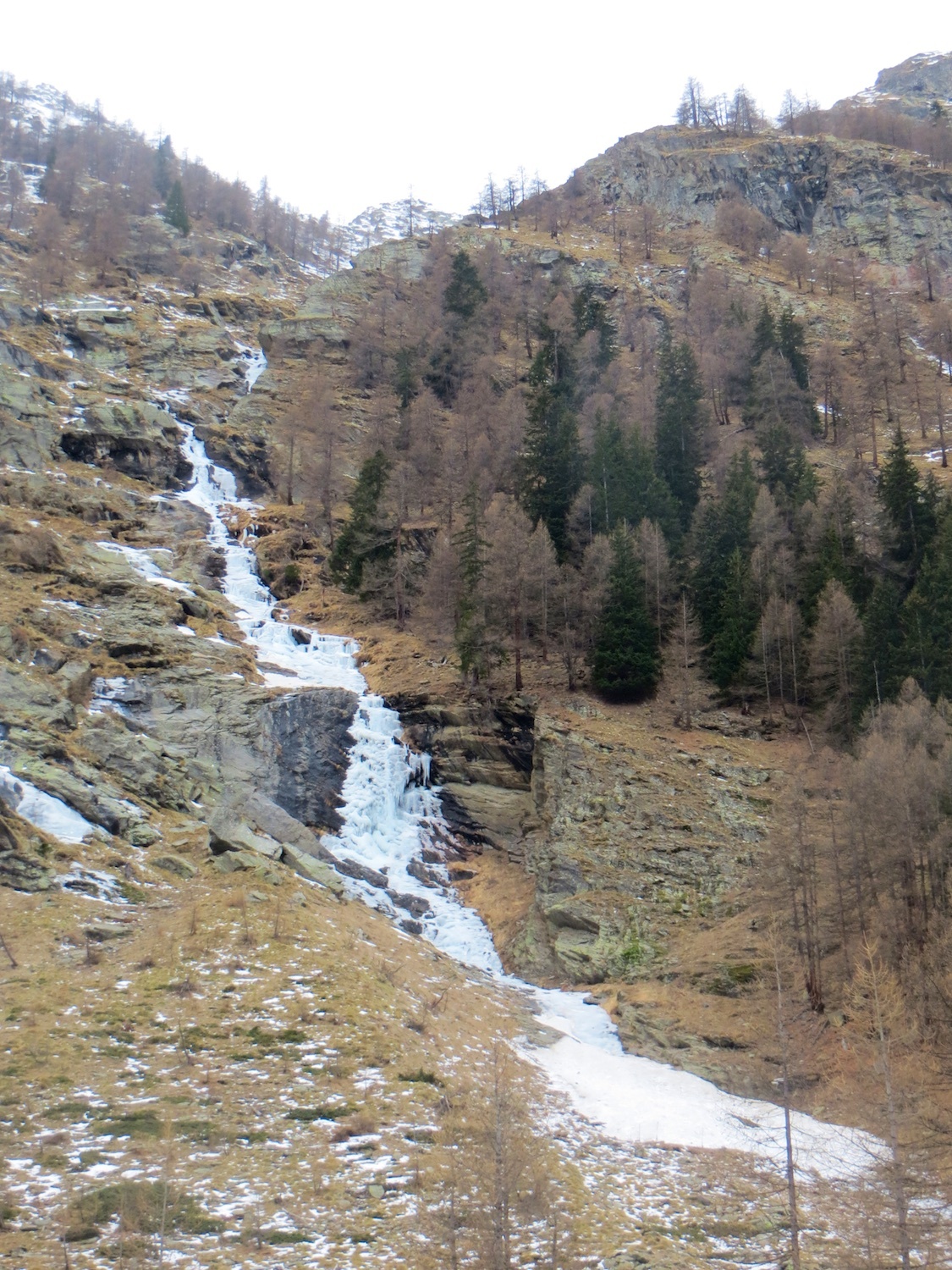
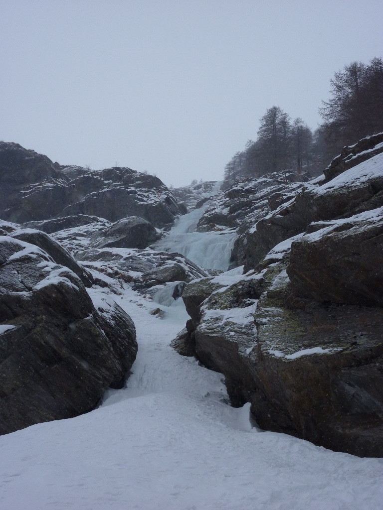
In 2020 most of the signposts for the ice climbing routes were no longer present in the Valnontey valley. From the parking in Valnontey, follow the climbers path on the true right hand side of the river to the third bridge, excluding the one in the village. This bridge is not visible from the path and easy to miss. If you get to a cluster of small buildings you have gone too far, (and way too far if you get to the end of the langlauf pistes.) Cross the bridge and go up to the foot of the obvious gully line on the left, (often an avalanche cone.)
Route
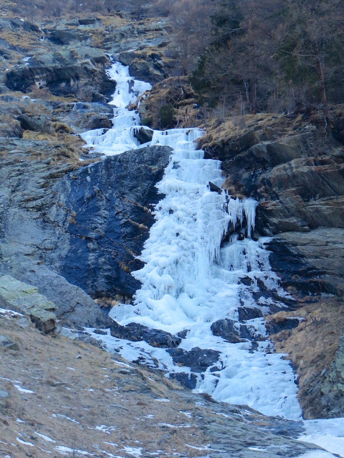
350m vertical height of gully. 2 sections with a maximum of 80° for 10m. There is quite a lot of walking between the climbing sections. a chore if there is a lot of snow. All the belays are on the true left bank and are equipped with 10mm bolts and chains. Some of the pitches are 55m long.
Descent
Either walk down on the true left bank, (left looking downwards), faint path, depends on the snow conditions or abseil down the route, now equipped with double bolts and chains all the way on the true left bank. Need 2×60 m ropes, some of the belay points need a bit of effort to find.
Gets the sun in the morning Possible to continue further up little ice bulges or cut the route short if the upper part is not in condition, too much sun. Nice route, ideal for beginners and without too long an approach. Be aware of the avalanche danger

The text and images in this page are available
under a Creative Commons CC-by-sa licence.

Download the Whympr App to view this route in 3D.
- Route search (100 000)
- Community returns
- Weather forecast
- Avalanche bulletin
- Race book
- Creation of tracks
- Topographic map (including IGN)