

Open this route in the app to prepare your next outing.

Details
Approach # 45mins from Chalets de Bise (1506m)
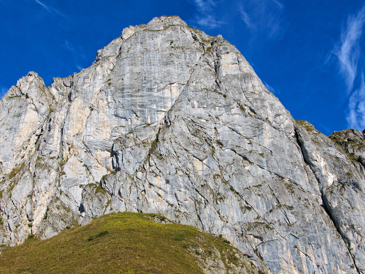
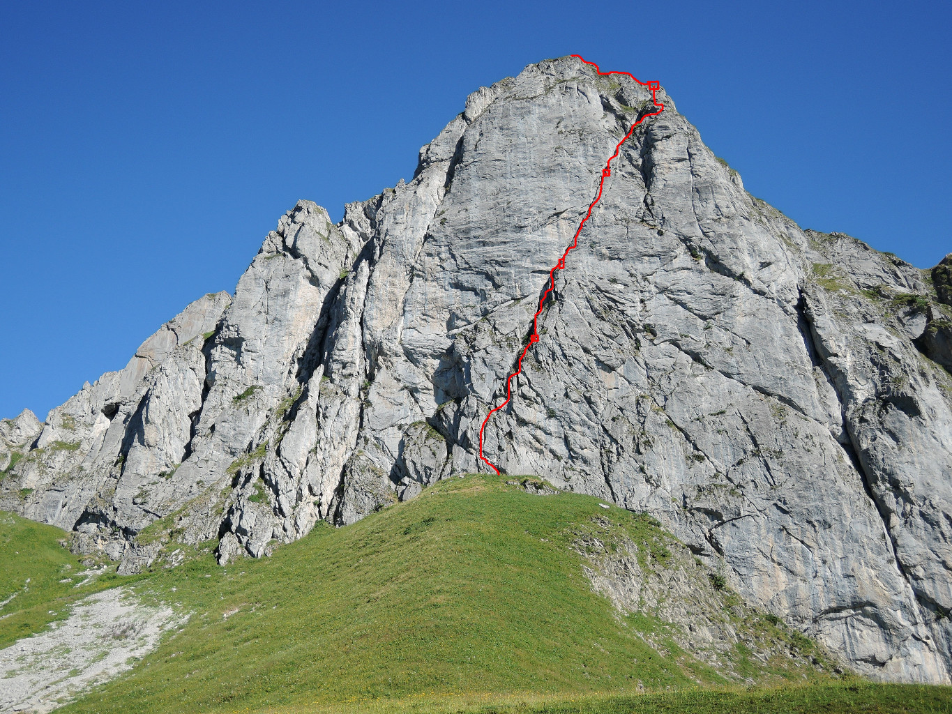
Take the left road towards Col de Bise and then follow the left path at the fork (1535m) towards Col de Floray. The line is clear from a distance. Approach either straight (steep through high grass) or better further from the left.
Climb
New gradings proposed - the old (4b,3,4b,5b,5c,5c,3+) are extremely tough/misleading, and some relays are missing (and not needed).
L# | 5b | 50m | Small traverse leftwards leads to a completely vertical crack (two bolts visible). Then start going a bit to the right - the route is pretty clear. L# | 5a | 25m | Go up then slightly right to find a bolt. Short traverse right and then up to a perfect diagonal ledge (do not traverse too far right - there is a bolt from another route) L# | 5c/6a | 40m | Follow the diagonal ledge (some bolts). At some passages you may need to get to the exterior of the ledge (airy). L# | 6a 10m and then 3 for another 30m | 40m | Some nice moves lead into the offwidth (1 piton completely hidden in the grass). Then there is a bolt - some athletic movements to overcome the bump. Go right and either find two pitons (are they still there?) or exit on the top of a tower and belay from there. L# | 3/4 | 45m | Easy climbing to the top.
Descent
Either go left to Col Floray (shorter) or right to the top of Pointe de Pavis and down to Col de Bise.

The text and images in this page are available
under a Creative Commons CC-by-sa licence.

Download the Whympr App to view this route in 3D.
- Route search (100 000)
- Community returns
- Weather forecast
- Avalanche bulletin
- Race book
- Creation of tracks
- Topographic map (including IGN)