

Open this route in the app to prepare your next outing.

Details
Approach # 40-50mins
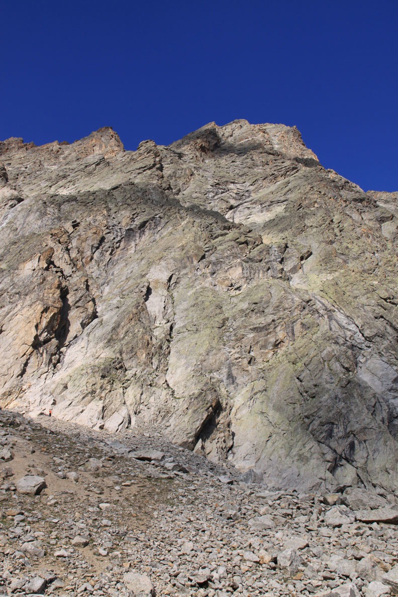
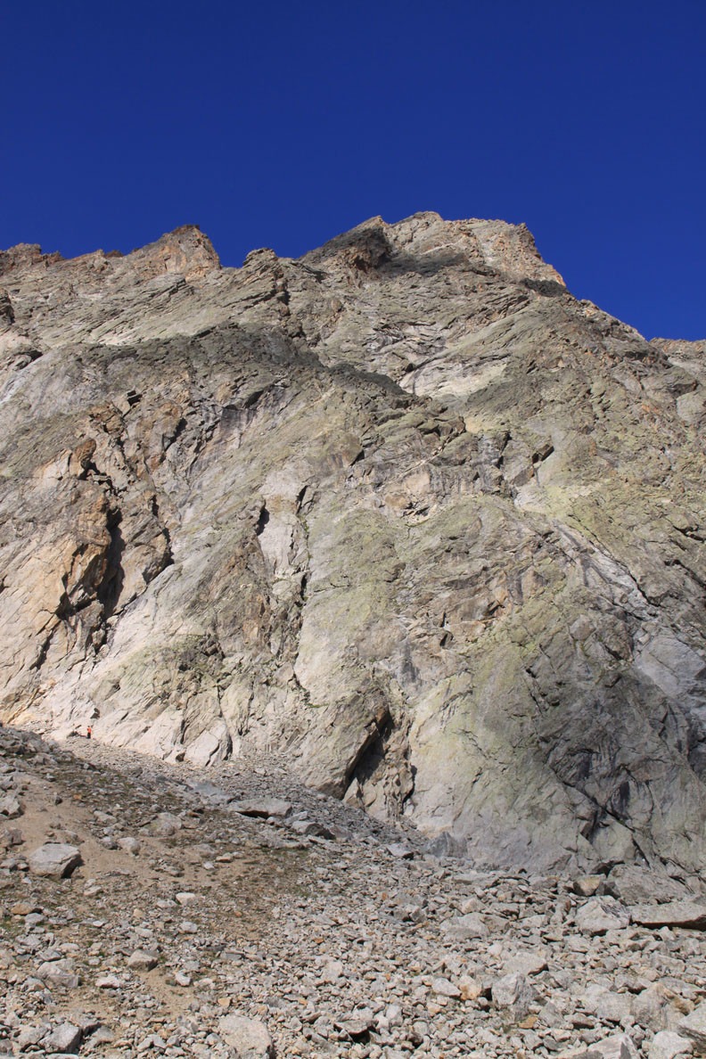
From the Dalmazzi hut follow the path towards the glacier, (hut water supply pipe,) leaving it below the ridge coming down from the second summit of the Aiguille Rouge du Triolet, clearly visible from the hut. The start is to the left of the lowest point of the spur, about 30m before a narrow gully, separating the spur from a pyramid of reddish rock to the N. A bolt with a sling visible from below, (alt 2780m).
Route # 5-7h
The route follow the line of weaknesses in the spur for 18 pitches. The bolts serve to show the line of the route, but some route finding skills are required nonetheless. Topos available at the hut (or see “external resources below.) Not very sustained, most of the pitches graded 5 are Grade 4 with 1 or 2 moves of 5 only.
Descent # 3-4h
Abseil down the route (maxi 45m), Awkward in the easier angled sections. The next abseil point is often difficult to spot from above.

The text and images in this page are available
under a Creative Commons CC-by-sa licence.

Download the Whympr App to view this route in 3D.
- Route search (100 000)
- Community returns
- Weather forecast
- Avalanche bulletin
- Race book
- Creation of tracks
- Topographic map (including IGN)