

Open this route in the app to prepare your next outing.

Details
Approach# 2h
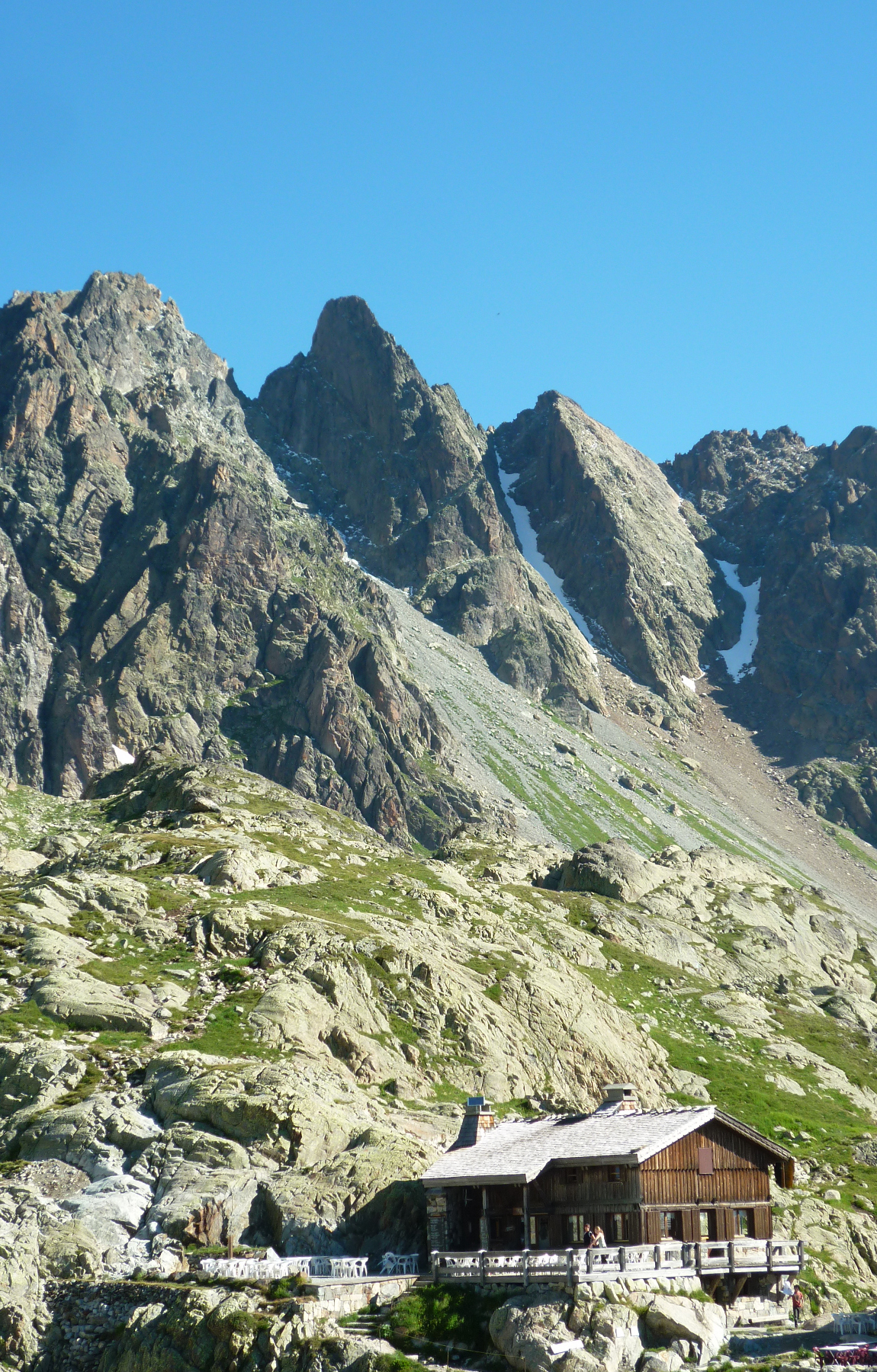
From the top of the Index chairlift, follow the paths to the Lac Blanc then the Lac de Perseverence. Aim for the second gully to the right of the Aig de Perseverence.
Route# 4h
Do not take the first gully, but the second (which leads to the Aiguille Martin) for 150m before taking a leftward rising ramp. Climb a system of pillars and chimneys (passages of 3) to the ridge which links the Breche de La Perseverence and the Aig. Martin (2-3 pitches). Follow this ridge leftwards, horizontally then downwards to an abseil (10 metres) which brings you to the Breche (niche) de La Perseverence (2623m). This is an impressive and bleak place.
It is also possible to reach the gully by making a leftward traverse 50 metres below the line of the ridge.
From the breche: P1 A few metres below the col and a block, climb a gently rising leftward traverse (3c-4a) to reach a secondary ridge. Follow this for 20m (4a, 1 peg) to a good stance (pegs) with a ledge to the right. P2 Traverse to the right and climb a corner (1 peg) to a small ledge at the foot of a steep wall. Climb the wall on the right (5b, 1 peg) then left to a stance (1 peg and small nut placement). P3 Continue to the summit by the easiest route (4c).
Descent# 2h
Abseil from just below the extreme W end of the ridge (25 metres) followed by a climb down to a second 25 metre abseil to reach the Col de la Perseverence (2840m). From the Col, it is possible to:
- Descend the gully then the scree slope to the Lac Blanc and Flegere.
- Climb the Aiguille des Chamois.

The text and images in this page are available
under a Creative Commons CC-by-sa licence.

Download the Whympr App to view this route in 3D.
- Route search (100 000)
- Community returns
- Weather forecast
- Avalanche bulletin
- Race book
- Creation of tracks
- Topographic map (including IGN)