

Open this route in the app to prepare your next outing.


Min / max altitude700m / 2071m
Duration1 day
Main facingN
Source
Details
Marked and secured route (approx. 3h30)
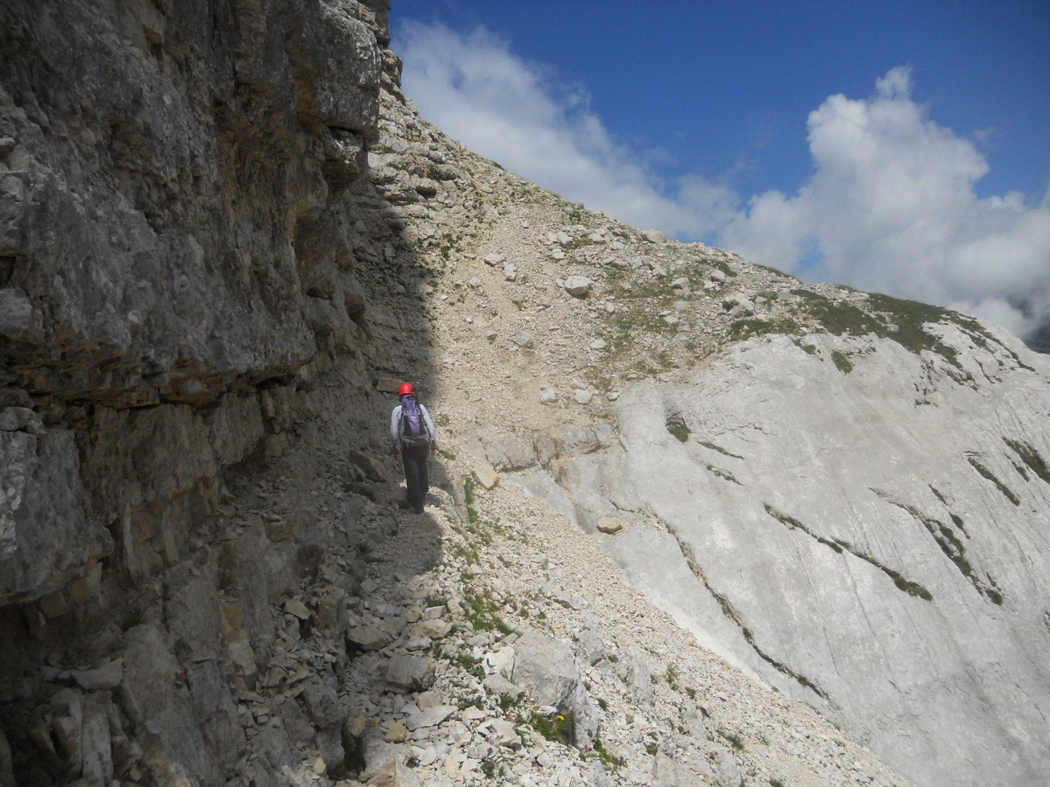
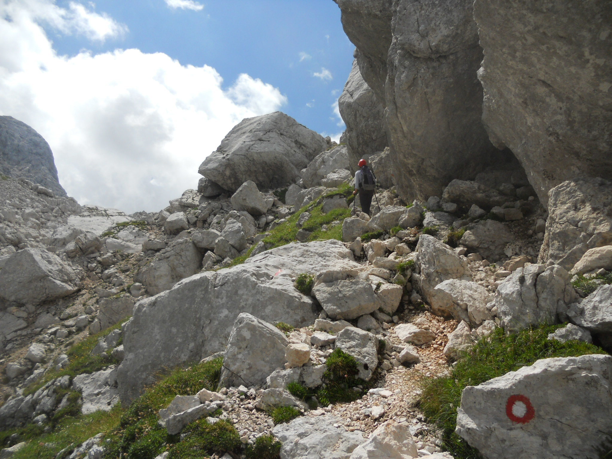
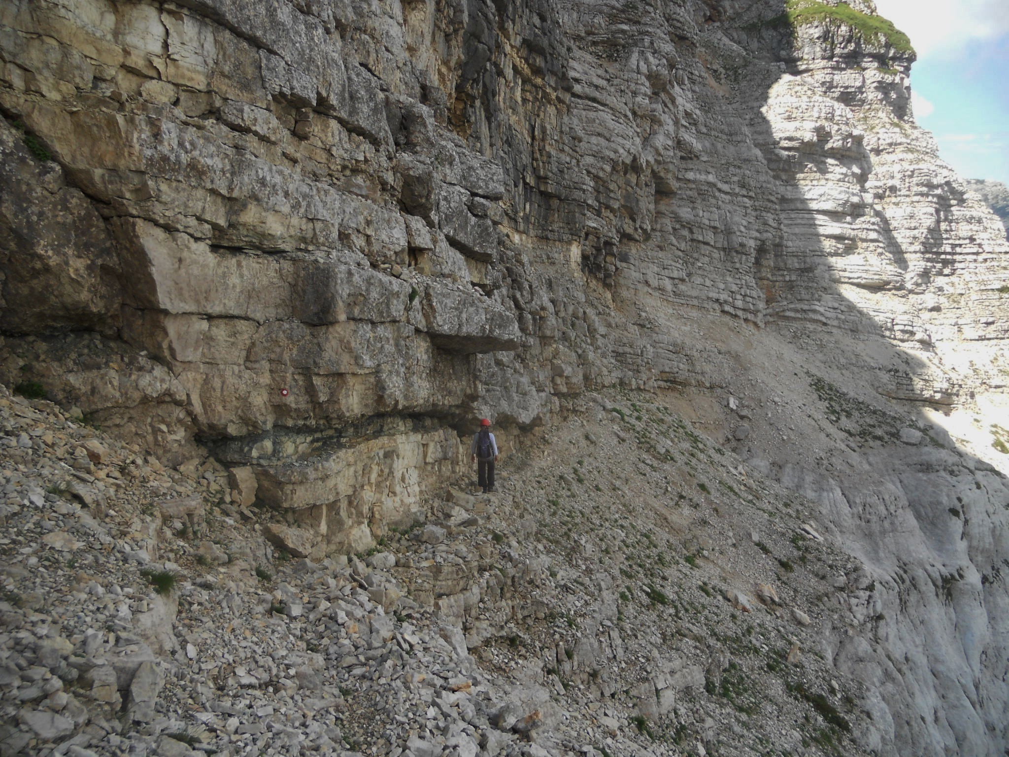
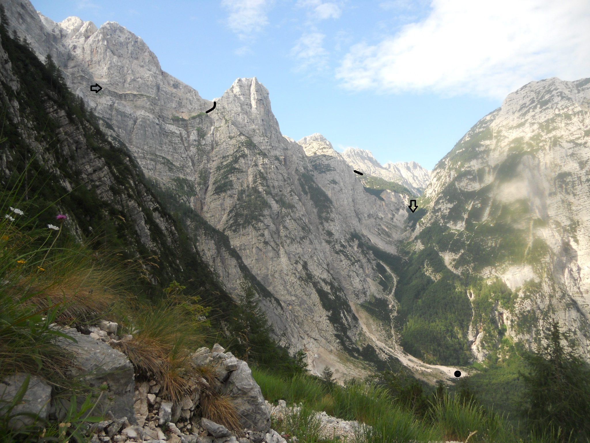
From the end of the Zadnjica valley road (alt. 700m, compulsory parking at an intersection, 2km E of Trenta), follow the trail eastward until the next intersection at alt. 1007m. Take the trail southwards along the Zadnjiški Dol valley and up to a beautiful pass, the Čez Dol (1632m). Climb the slope situated S of the pass along an excellent mule track that leads to a vast limestone plateau. The hut Zasavska koča (2071m) is 200m N.

The text and images in this page are available
under a Creative Commons CC-by-sa licence.

Download the Whympr App to view this route in 3D.
- Route search (100 000)
- Community returns
- Weather forecast
- Avalanche bulletin
- Race book
- Creation of tracks
- Topographic map (including IGN)