

Open this route in the app to prepare your next outing.

Details
Approach
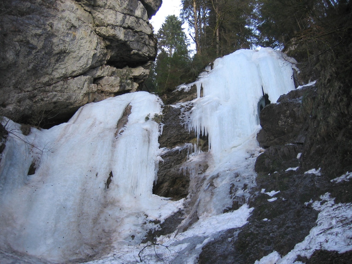
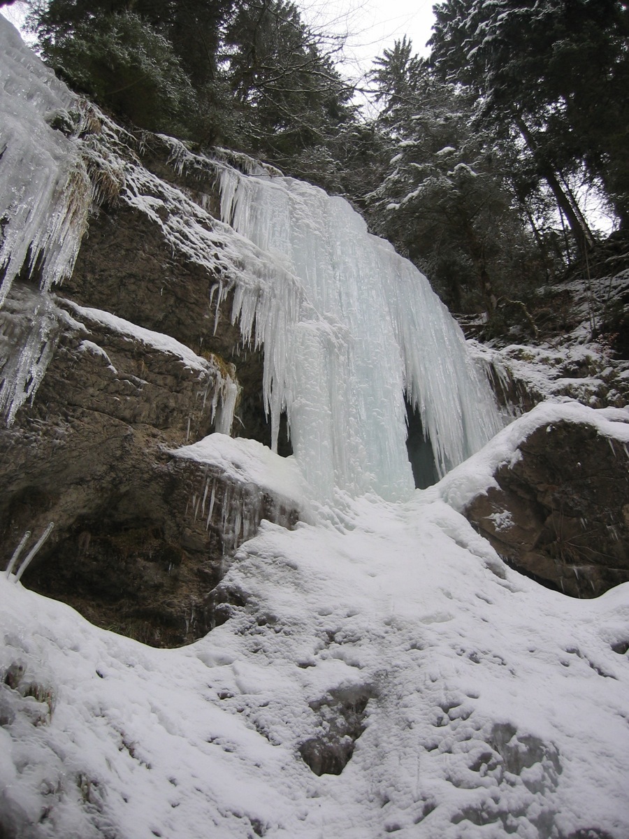
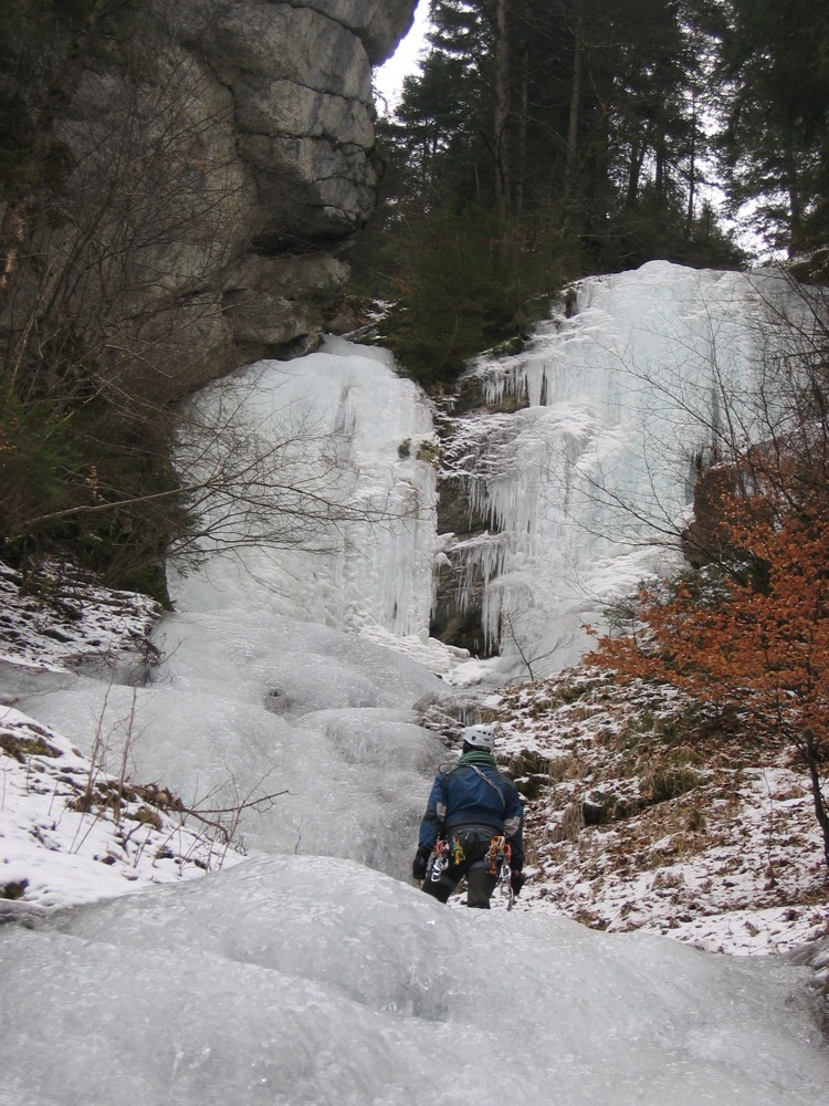
From the Carres bridge, follow the track at the side of the Dranse towards Abondance. You come to the langlauf track which you leave some 30 or 50metres later to go up a little snow ramp on the left. This leads to a hollow with a stream runing down from the icefall. Go up the bed of the stream or up the slopes on the right to the foot of the icefall (70m of height gain.) You can also approach from Abondance by following the langlauf track in the other direction.
Route
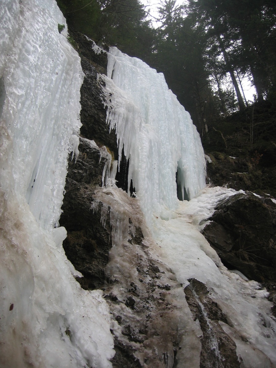
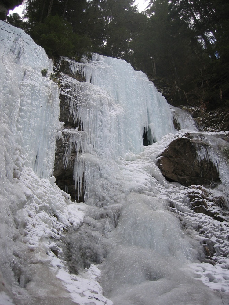
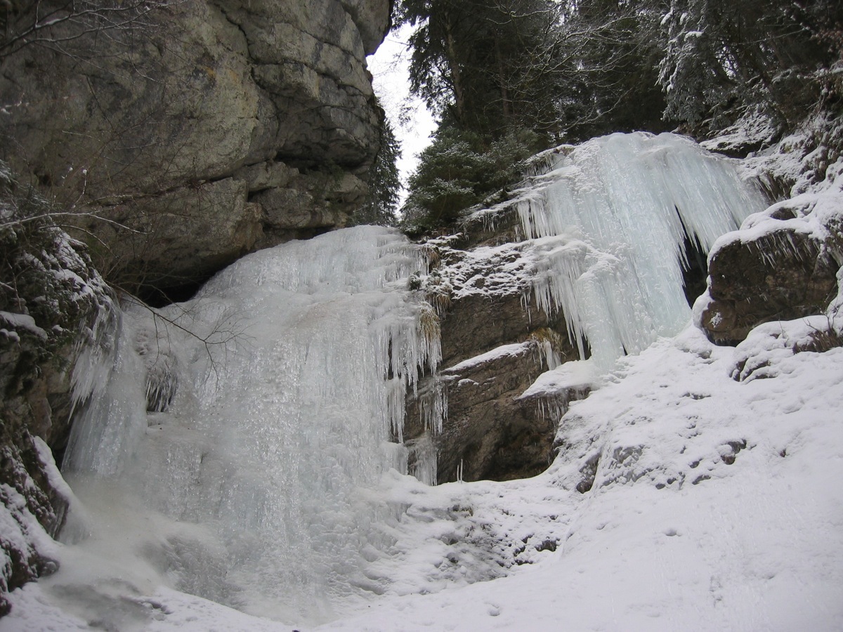
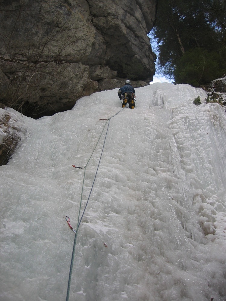
Two main lines : To the left, easier and not steep, 20 à 30 m at 3 or 3+ if you take a steeper line. Belay on bolts with a chain at the exit, (There is also a chain at half height.) To the right, this is steeper with a vertical section of 10m, 4 (or 4+ ?), 30 m. Belay on a bolt with a karabiner in the rocks above to the right or use the trees on the left.
Descent
Abseil.
Short approach, which also means you hear the traffic.

The text and images in this page are available
under a Creative Commons CC-by-sa licence.

Download the Whympr App to view this route in 3D.
- Route search (100 000)
- Community returns
- Weather forecast
- Avalanche bulletin
- Race book
- Creation of tracks
- Topographic map (including IGN)