

Open this route in the app to prepare your next outing.

Details
Approach
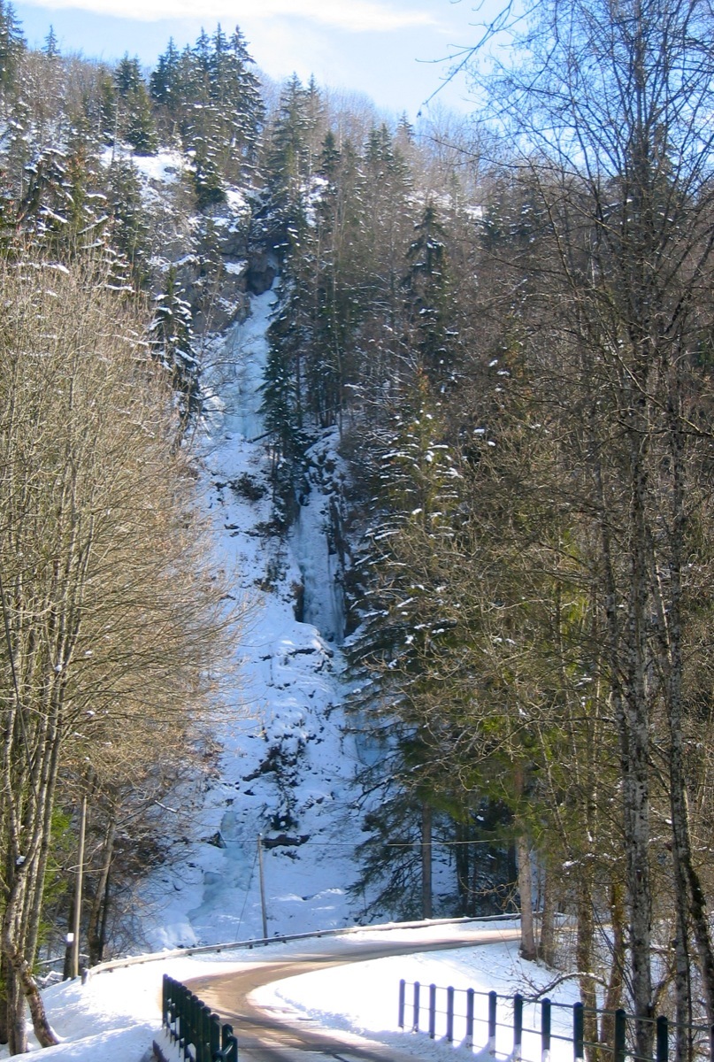
At Bellevaux, pass in front of the town hall, and just after the church go down a little road to the end of the valley, direction “la cascade”. Park before a bridge, next to a tree rope course.
Route
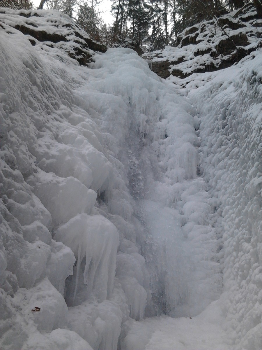
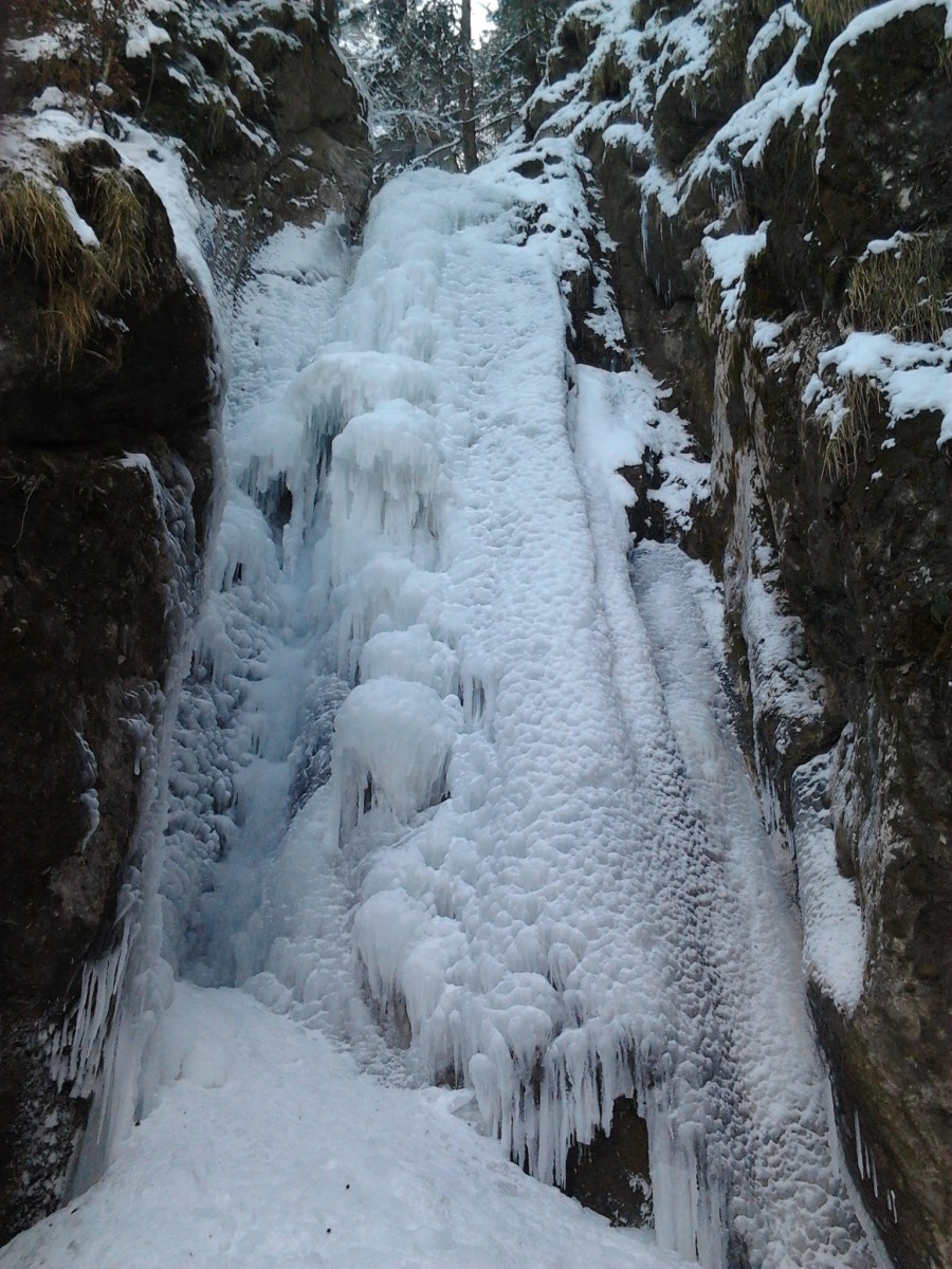
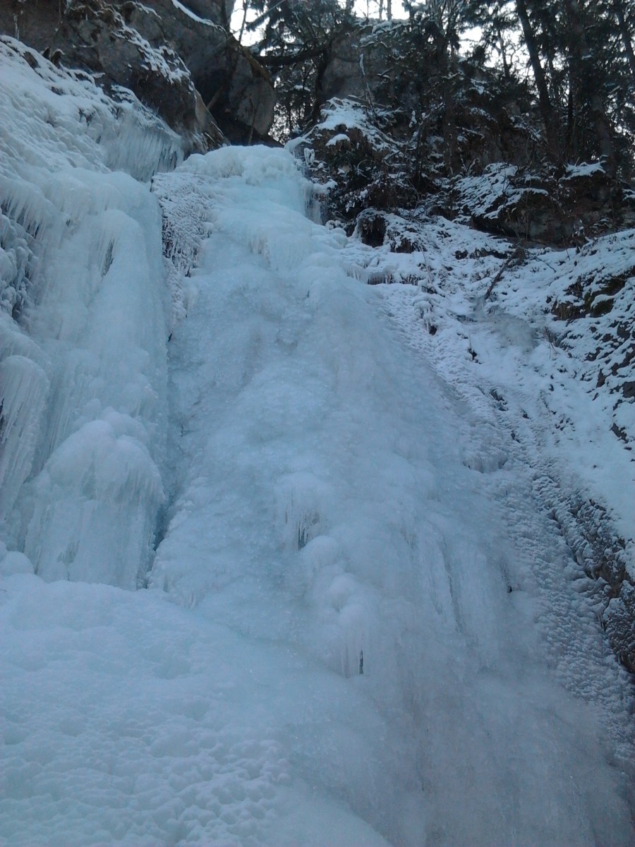
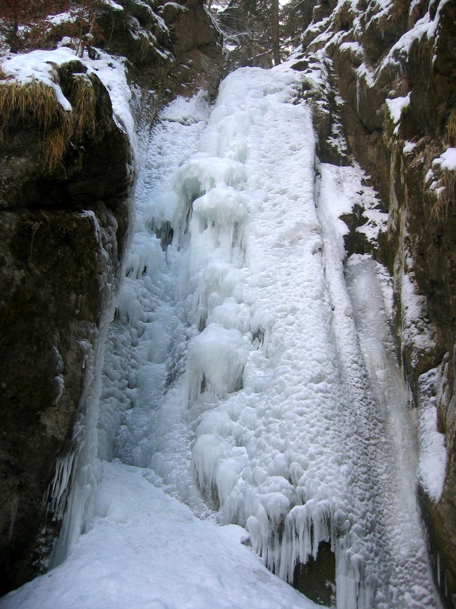
The canyon has three steps, getting progressively longer and harder, separated by rock pools, not always fully frozen. Firstly two steps of 6 to 10m. If the first part is not practical, climb up the snow slopes on the left to reach the last step. This is 30m high and has several possibilities between 3 and 4+. Equipped belays. Continue up one or two small walls to exit the canyon.
Descent
Exit the canyon on the right going up to an old mill. Go behind the building to reach the Frêne footpath which go down to the right to come back to the road and the foot of the canyon. It is also possible to abseil back down the canyon, (Equipped with chain belays.)

The text and images in this page are available
under a Creative Commons CC-by-sa licence.

Download the Whympr App to view this route in 3D.
- Route search (100 000)
- Community returns
- Weather forecast
- Avalanche bulletin
- Race book
- Creation of tracks
- Topographic map (including IGN)