

Open this route in the app to prepare your next outing.
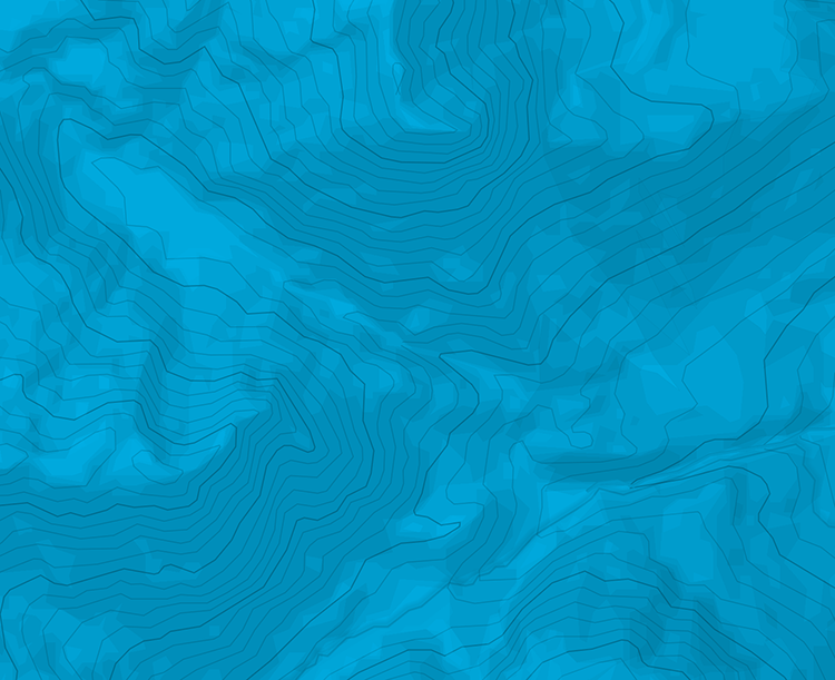

Details
Montée
A Bönigen, il faut suivre les panneaux indiquant Schynige Platte. D’abord un chemin forestier, puis un sentier direction Roriwang. Après avoir traversé le torrent, le chemin devient plus raide. Il faut bifurquer à gauche (1226 m) après un chemin en balcon sous des rochers. Des zigzags serrés permettent d’accéder à un épaulement. Bifurquer à droite (1440 m) après une trouée dans la forêt. Le Roriwanghorn se contourne par la gauche et c’est les derniers lacets pour arriver à la crête à 2029 m. De là, on rejoint le chemin très fréquenté entre Schynige Platte et le Faulhorn. Par Egg et Berghaus Männdlenen.
Descente
Par le Bachsee et First.

The text and images in this page are available
under a Creative Commons CC-by-sa licence.

Download the Whympr App to view this route in 3D.
- Route search (100 000)
- Community returns
- Weather forecast
- Avalanche bulletin
- Race book
- Creation of tracks
- Topographic map (including IGN)