

Open this route in the app to prepare your next outing.

Details
Approach:
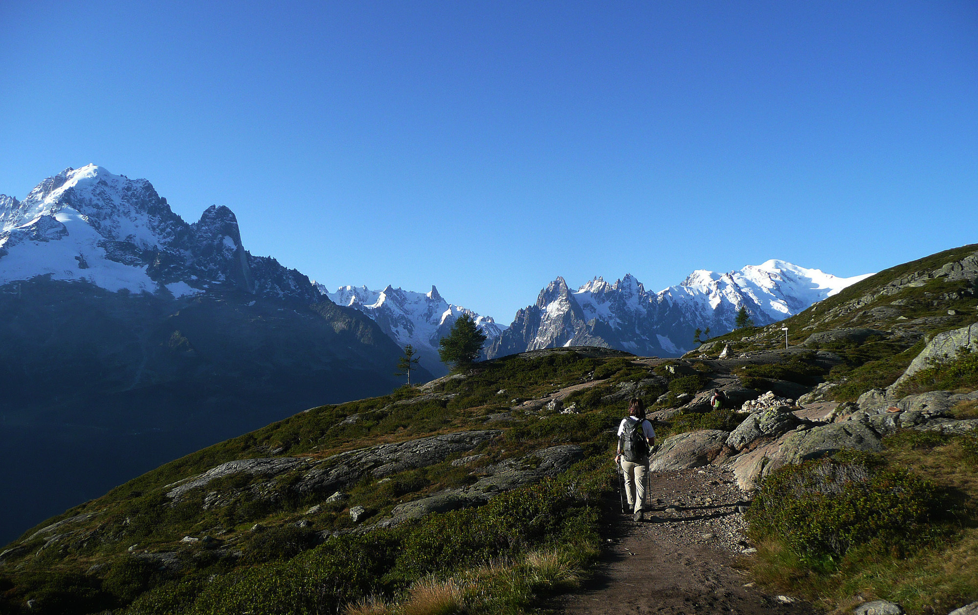
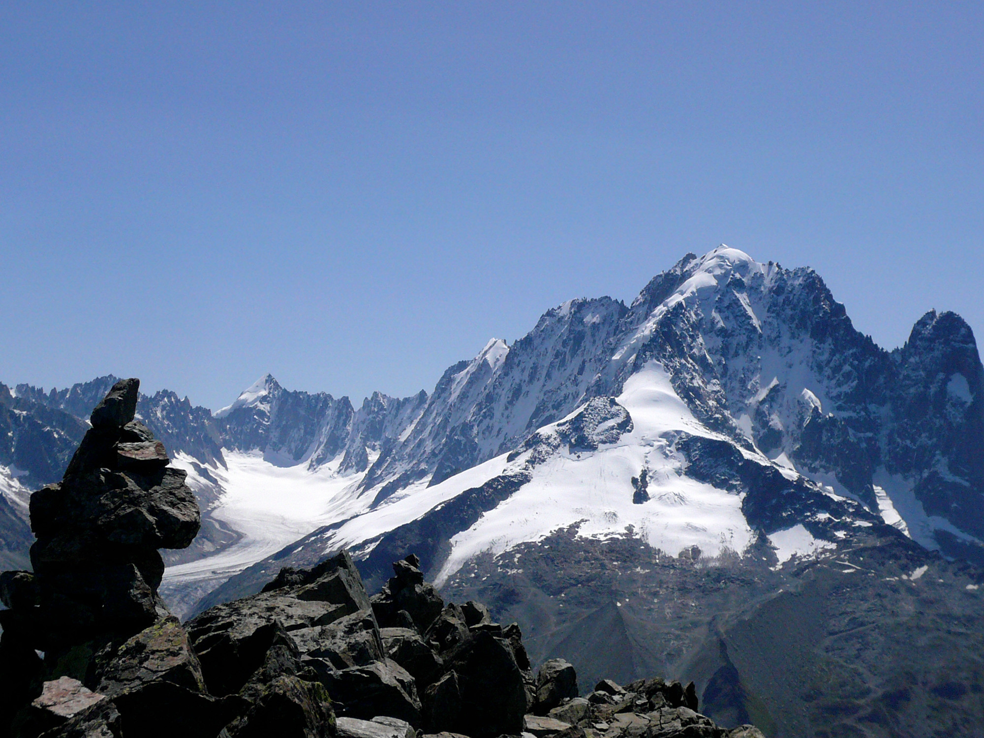
Get to the Col des Chamois situated between between the Aiguille de la Persévérance and the Aiguille de Chamois, either by abseiling from the Aiguille de la Persévérance (after haing done a route there), or on foot from Lac Blanc (2h30)
Route :
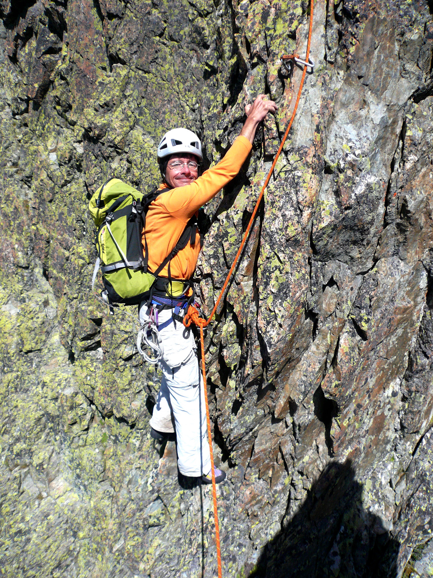
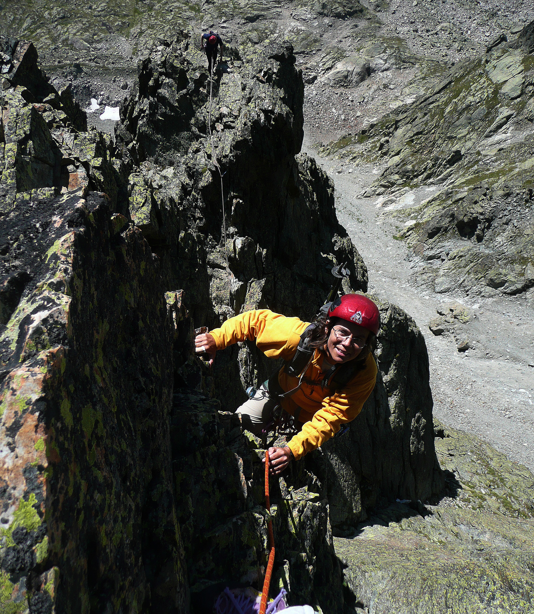
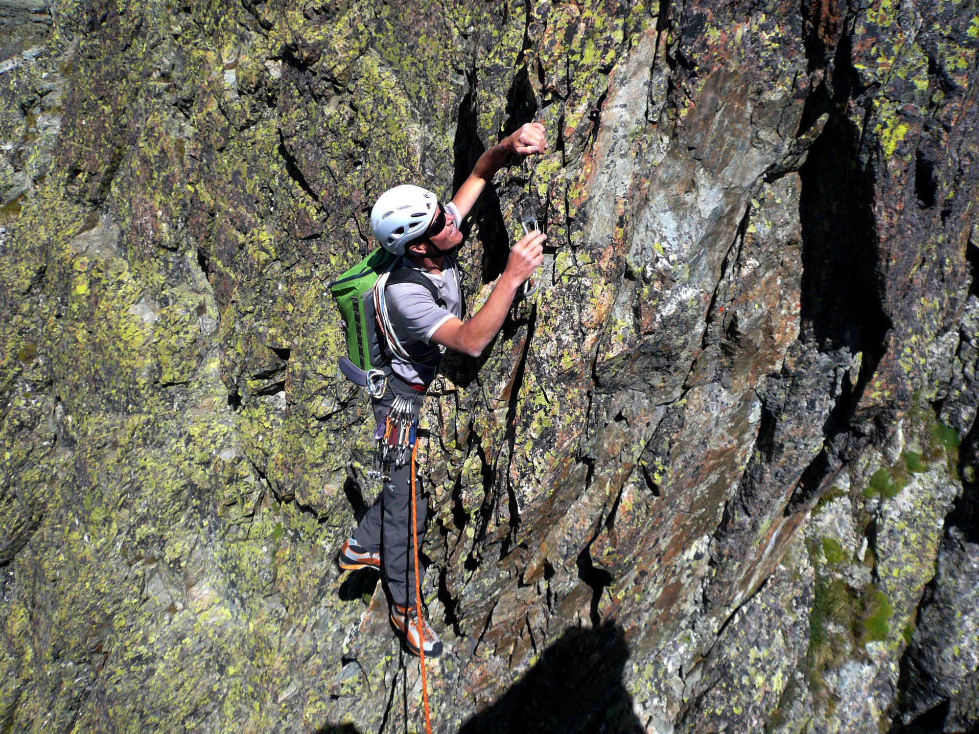
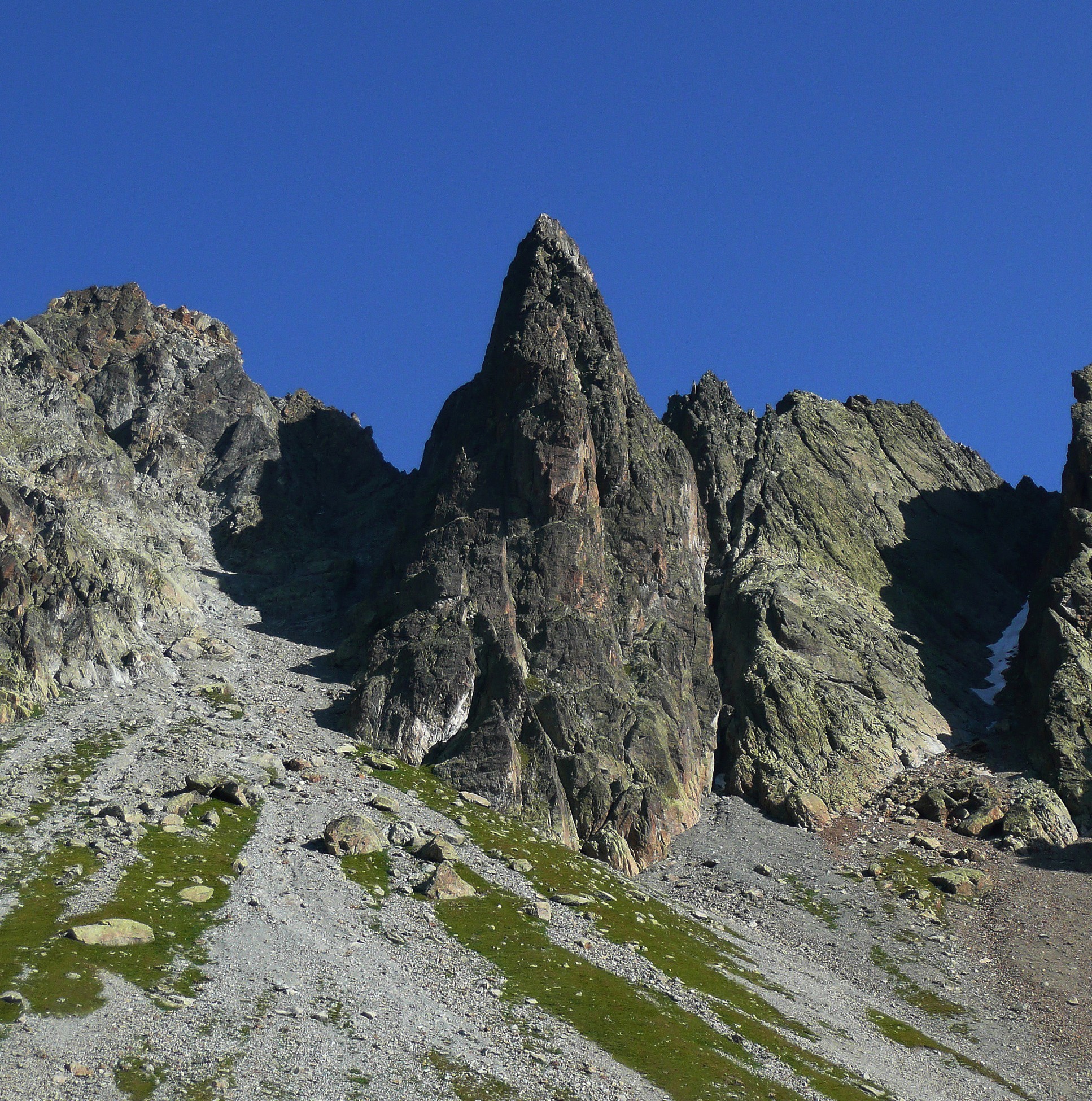
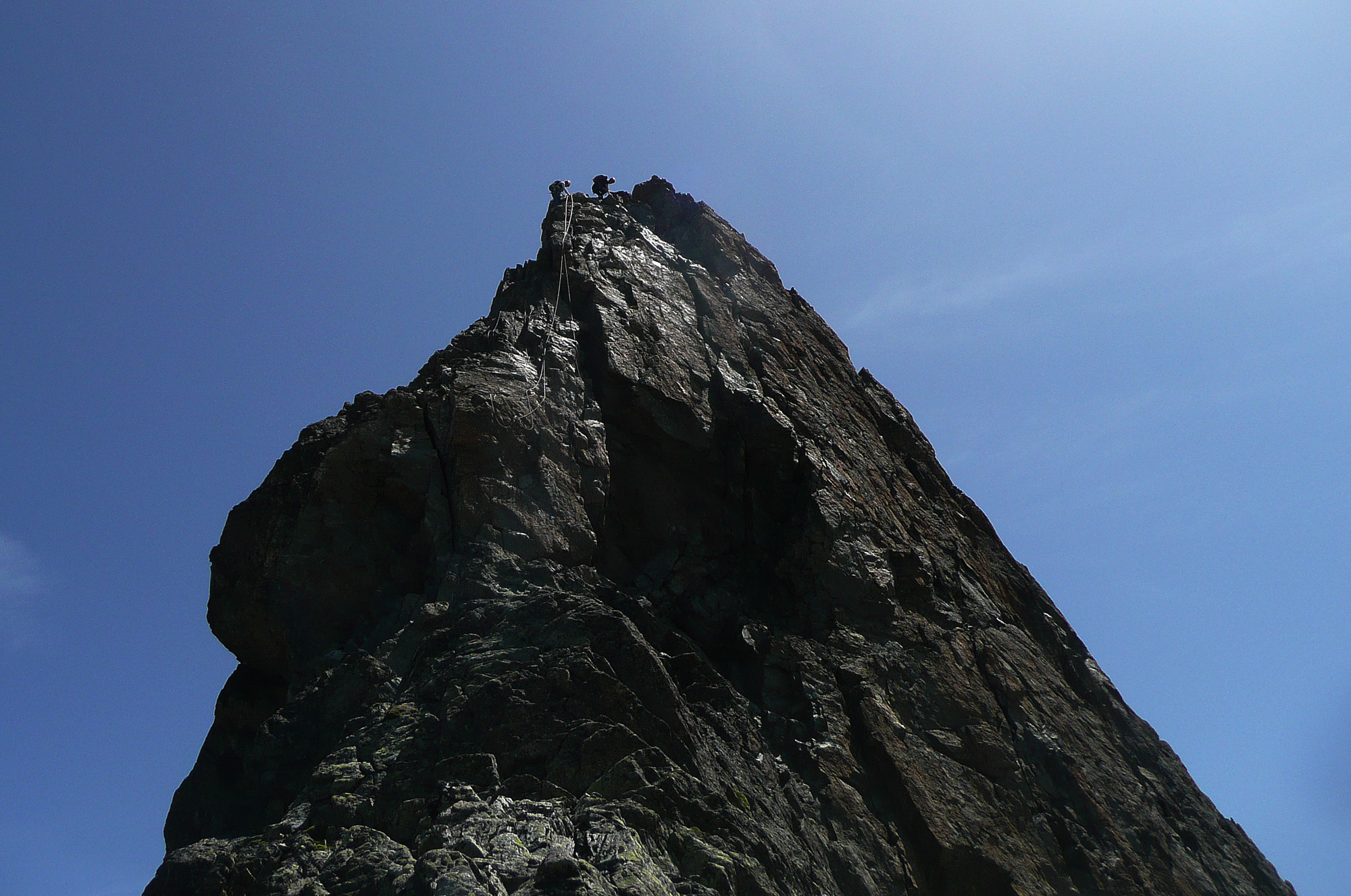
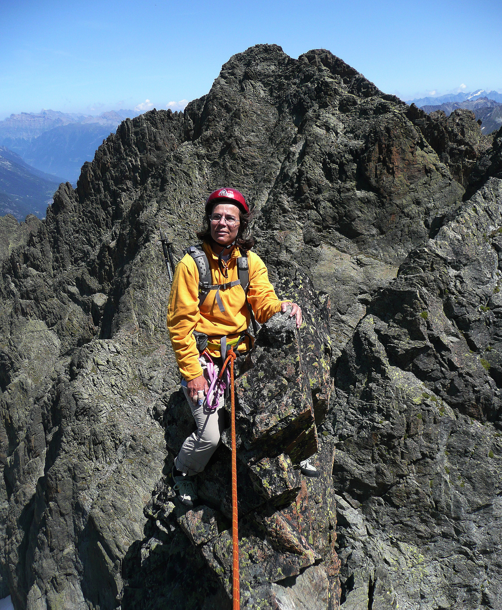
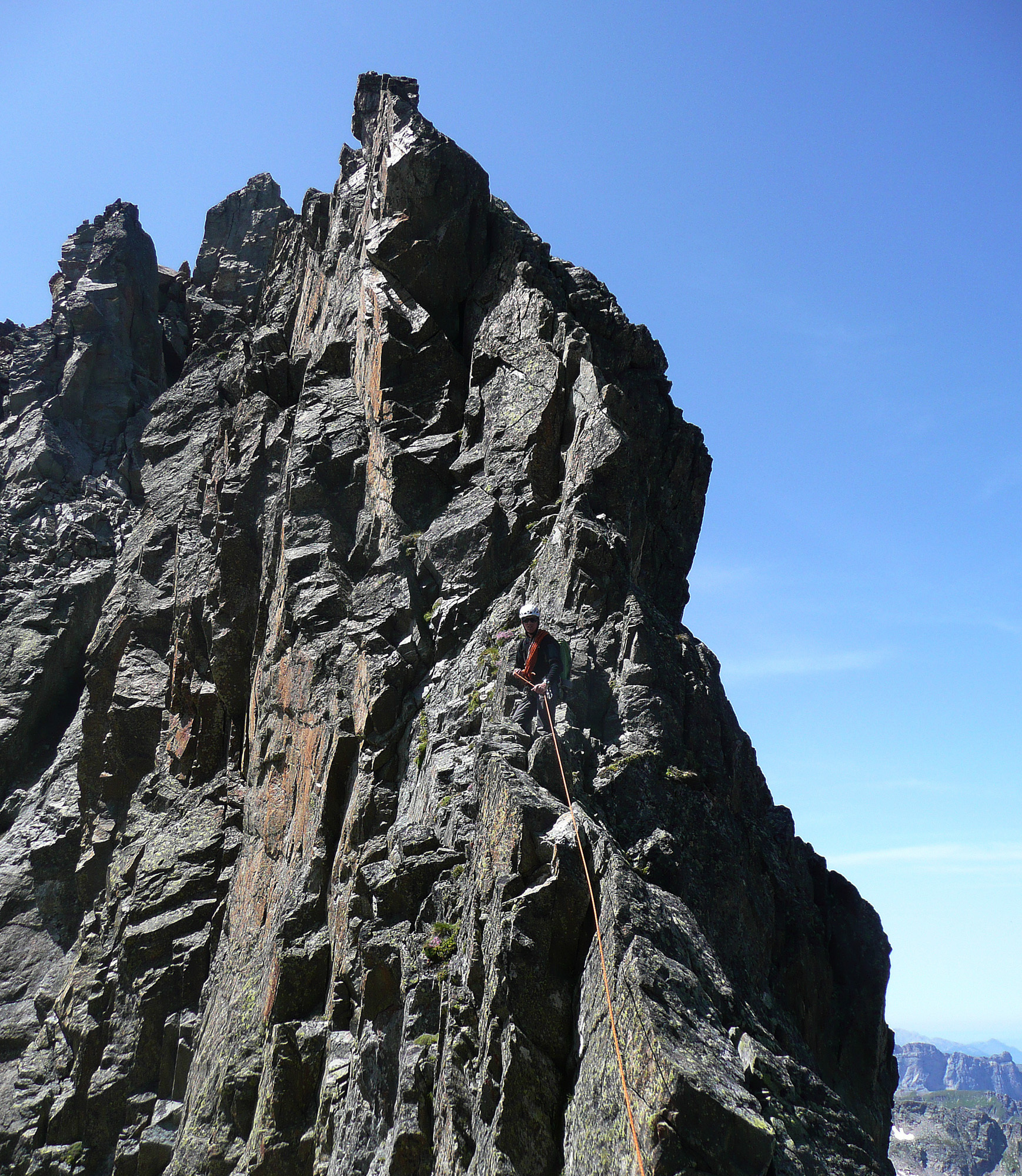
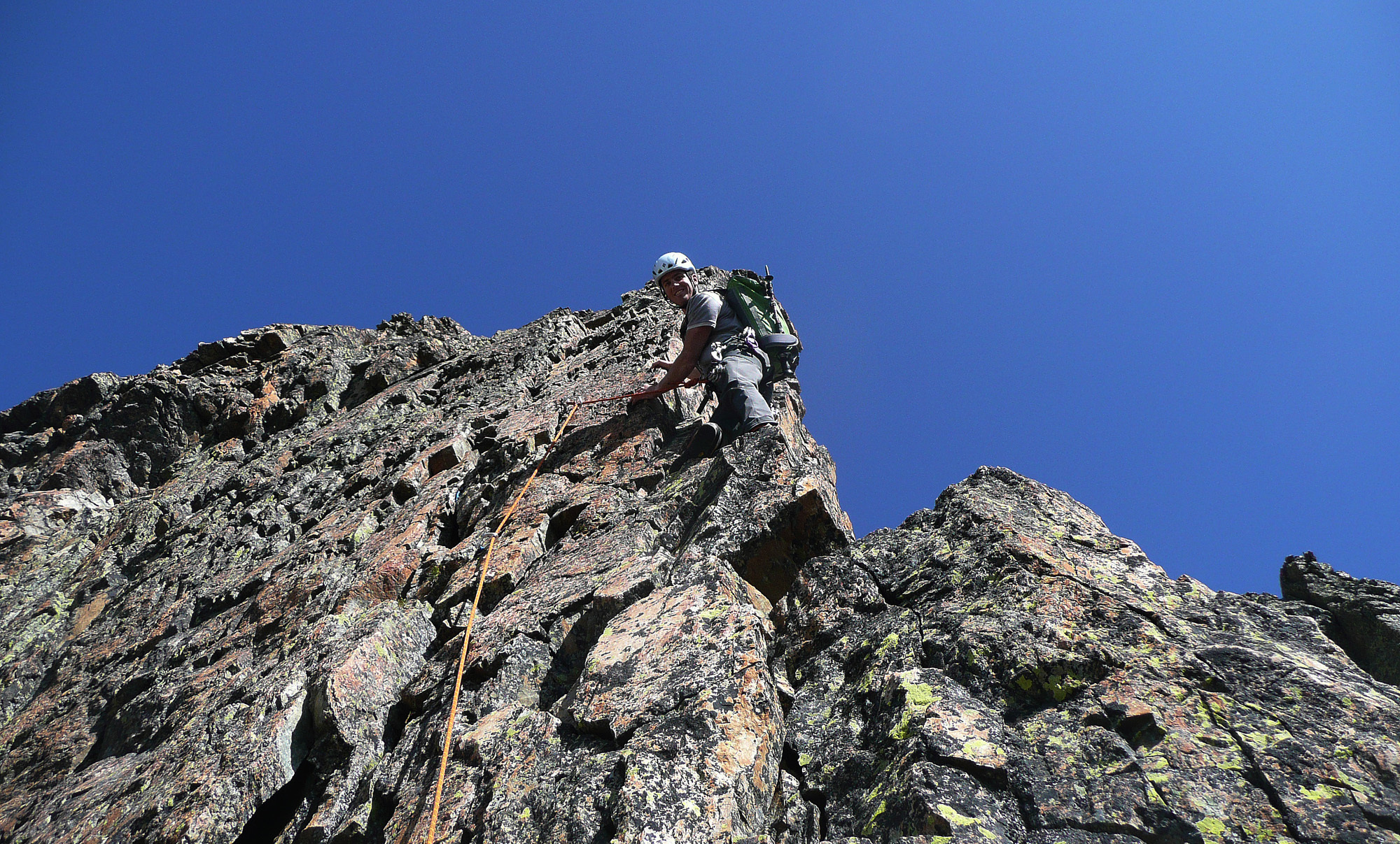
Climb the best line you can find on the E ridge, keeping mostly to the crest, 3 pitches of 3c/4a. Gain the gap between the two summital gendarmes, (rock spires,) by bypassing the right-hand (N) one and climb it by its Chamonix face. This is the summit!
Descent :
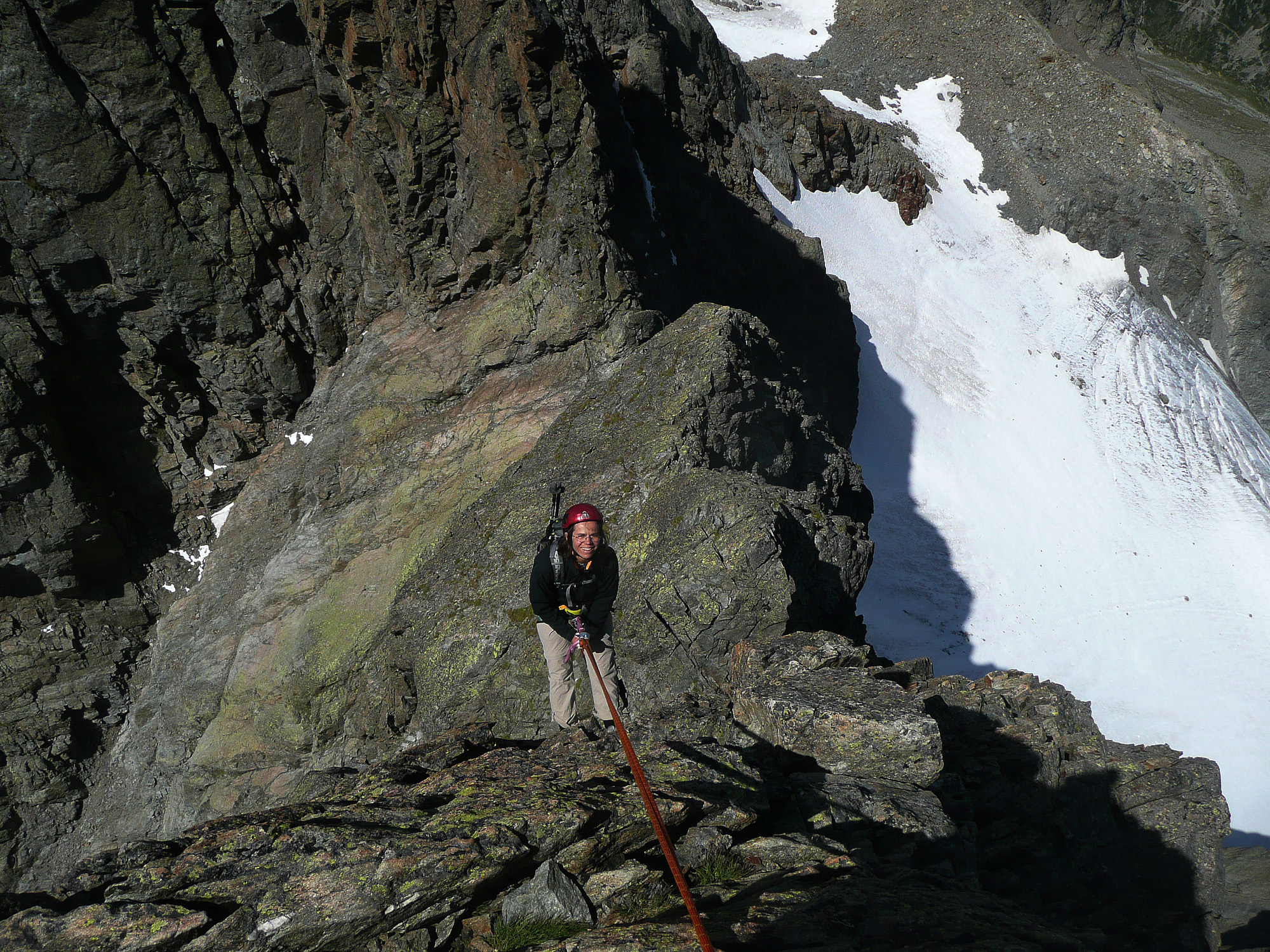
Go along the summit spire by traversing a slab then follow a faint path which goes along a second spire, (still on the N side). Then, either abseil down the side facing Chamonix (slightly opposite, slings, 40m), or continue to a gap which leads to the descent gully. This descent is more pleasant than that from the Aiguille de la Persévérance.

The text and images in this page are available
under a Creative Commons CC-by-sa licence.

Download the Whympr App to view this route in 3D.
- Route search (100 000)
- Community returns
- Weather forecast
- Avalanche bulletin
- Race book
- Creation of tracks
- Topographic map (including IGN)