

Open this route in the app to prepare your next outing.



Details
Approach
From the Leschaux hut, descend on the Leschaux glacier. Follow the glacier up then follow the Mont Mallet glacier until the Walker Spur start (point at 3010m)
Route
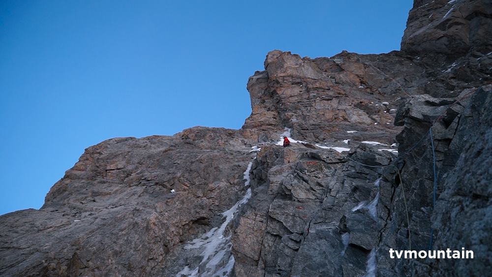
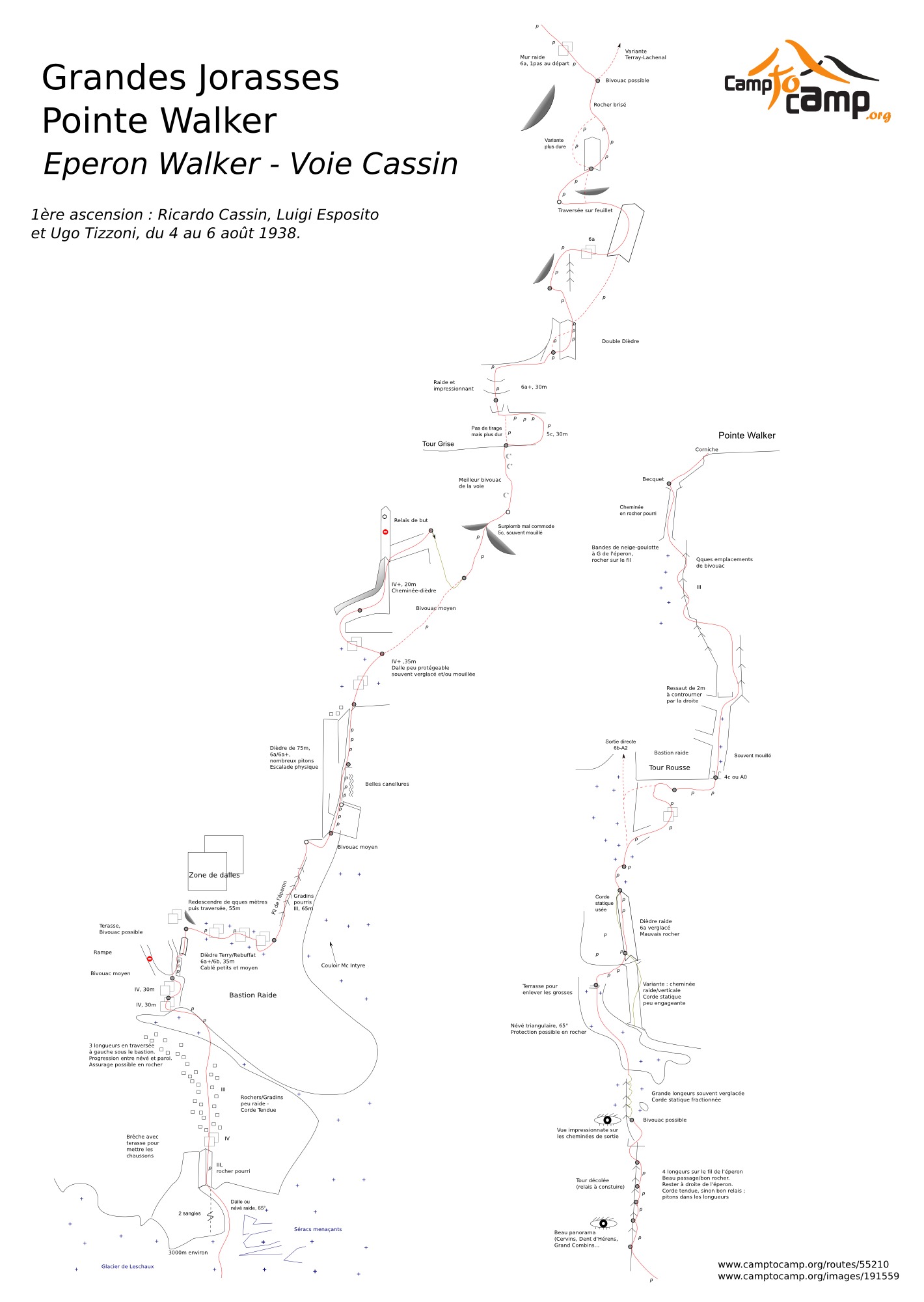
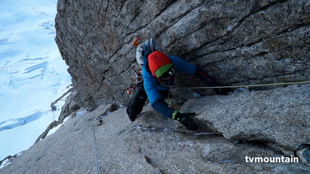
Pass the bergschrund on the right of the spur and climb up the inferior firn scarf to the left upper part (3 pitches - show/ice 60°). Pass on the side of the first buttress on the left (2/3 pitches in broken rocks, IV) to arrive beneath a slightly vertical slab (V) which one will pass slightly to the right and then coming back to the left. Go in the direction of the edge of the spur over broken rocks to arrive beneath two dihedrals/cracks (slightly marked) with pitons. Start on the left dihedral, “Rébuffat” dihedral, with an overhanging crack (15m, 5c,6a>A0) then move horizontally to the right (1 step, 6a) and climb the dihedral on the right, “Alain” dihedral 5c+, to exit on the right over a good platform.
Descend some meters to the right then go over the pitches of broken rocks (3 pitches) to rejoin the edge of the spur. Go up the edge (4c, broken rocks), straight over to arrive at the start of the second buttress very overhanging (terrace - 1er bivouac Cassin).
Transverse 6m to the right (W flanc) to take the beginning of an 80m dihedral. Climb this dihedral in 2 pitches (5c, 5c, 5a). On the summit, to the left to climb the slabs and then a dihedral/chimney, to the right of an overhang, finishing in a good horizontal terrace (2 pitches). Transverse 15m to the right (5a, smooth slab, pitons) to end on a pendular abseil (belay with carabiners). Pull this short abseil (12m) to land on a little platform from where one climbs up - pulling the rope to the right - a chimney (usually frozen) to the beginning of the black slabs.
The first 500 first meters have been covered… 700 to go ;-)
Climb the black slabs on top of you (a big V+ pitch, pitons) pulling slighty to the right. Then continue the ascension taking a line or broken rocks to the right of the slabs (V+/VIa) over 2 pitches. One skirts that way the foot of the grey tower on the right to end over a ledge a little bit bigger than average.
Go up the grey slabs pulling a little to the left until joining the ridge of the spur (V+). Follow this spur for 3/4 pitches (delicate IV+/V) to end on the foot of a triangular firn. From there, one is generally still on boots/crampons.
Climb up the firn until the last ledge by an ascending transverse to the left followed bw a transverse to the right to join the rocks on the foot of the vertical reddish chimney couloirs. Climb up this chimneys (mixed, frequently icy, 5c+, delicate, difficult rock) over 3 pitches (the last pitch has a fixed rope), until the foot of an overhanging bastion, the Tour Rousse.
Pass on the side of the Tour Rousse to the right to go up a slab on the foot of a terminal ledge (delicate V). Transverse horizontally to the right (15m) to rejoin a belay on the foot of a terminal couloir. Climb the beginning of the couloir by a little wall (4a, generally icy, pitons) then easier to rejoin the edge of the spur (2 pitches). Follow the edge for 2 pitches of mixed climbing to end in the summit cornice at 15m of the summit.
Descent
Follow the normal route - Whymper rock - Reposoir Rock - Boccalatte - Planpincieux The race is long and high altitude. It is very committed, particularly after the pendular abseil that impedes an easy escape. The equipment being abundant, the route is doable in one day. Nevertheless, many teams bivouac in the route. The bivouac places are not very good and one needs to plan for a sitting bivouac. For those who do it in the day, it is usual to bivouac while descending in the Whymper rocks. The orientation is North but it is possible to have some sun a part of the ascension.

The text and images in this page are available
under a Creative Commons CC-by-sa licence.

Download the Whympr App to view this route in 3D.
- Route search (100 000)
- Community returns
- Weather forecast
- Avalanche bulletin
- Race book
- Creation of tracks
- Topographic map (including IGN)