

Open this route in the app to prepare your next outing.

Details
Approach # 1h to 1h15
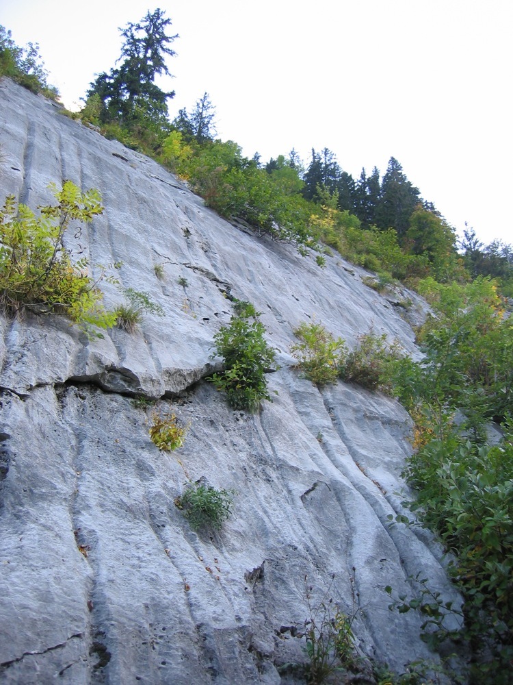
From Samoens follow the road signposted Les Allemands. From the parking at Crêt, (the second carpark i.e not the one one just after you cross a bridge, but the one after a series of hairpins and with parking on both sides of the road), follow the Folly refuge path, passing the Crêt chalets. Continue along the path which contours, passing by the foot of the Tuet climbing area and then joining the path coming up from the lower parking. Continue upwards until a cairn and faint track on the left, circa 1160m, easy to miss. (If you get to a little bridge crossing the Landes stream then you have gone about 400m too far.) The faint path passes between rock bands to a slab with bolts,(1230m.)
Route # 6h
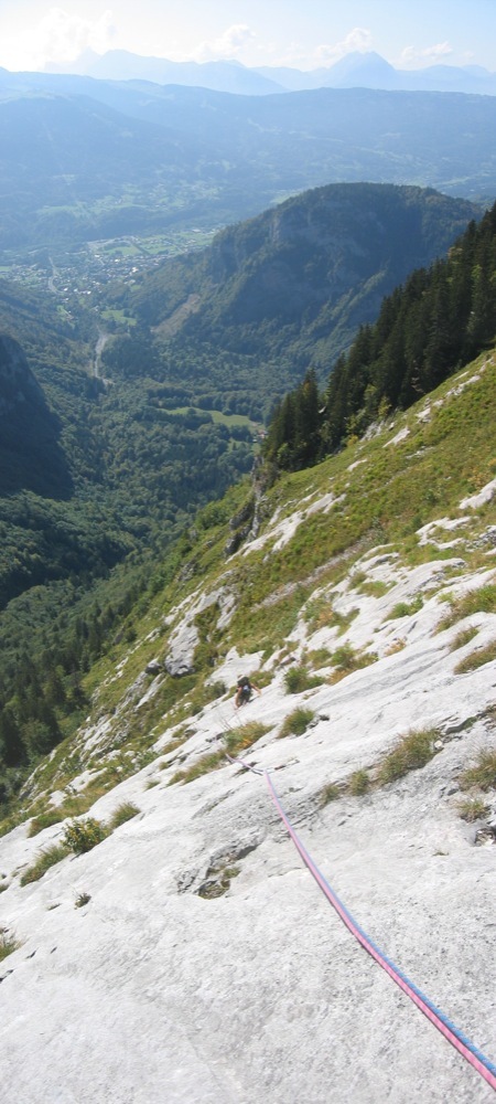
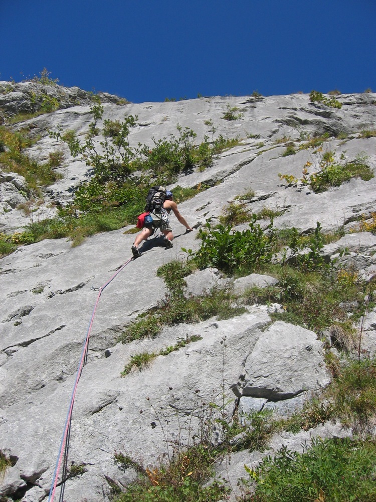
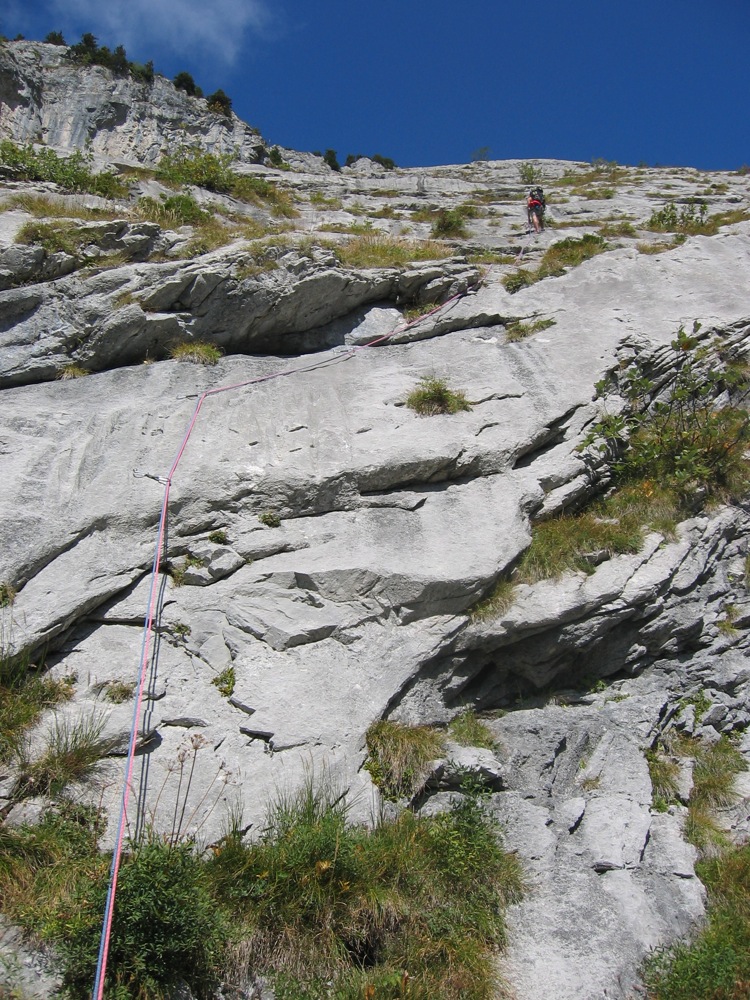
L# | 6a+ | Faint runnels (cannelures) with a smooth (crux) section at the first bolt, (the pitch is 5b if aided here) L# | 4c | Easier angled runnels L# | 4b | A bit grassy L# | 5b | A nice wall with a mini roof
L#~ A grassy ramp ; follow a path which comes up against a rock slab, climb up a little to the left to a good platform, belay.
L# | 5b | Walk back a bit to reach the belay L# | 5b/5c | Pleasant wall then a thin slab to the belay L# | 4b | Short, traversing to the right.
L#~ A linking section up a large ramp with lots of trees. Follow the path which goes upwards at first and then traverses sharply to the right. At a little junction, go left just to the foot of a rock barrier, which you follow to the left to a belay with two bolts. (N.B. There is a tendency to end up too far to the left. You need to be well to the right of the end of the last pitch)
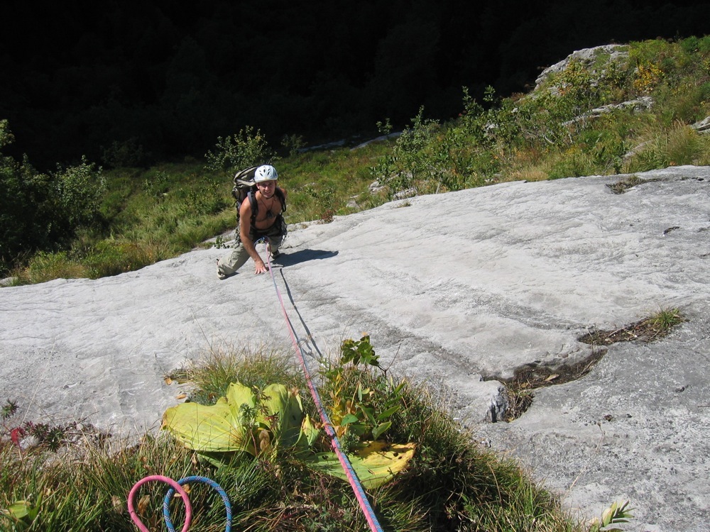
L# | 5a | A big rightwards, ascending traverse. Belay to the left on a good terrace. L# | 5c | Superb pitch on a slab and a wall with plenty of holds L# | 5b | Traverse rightwards then straight up. Belay on a good terrace. L# | 4b | Straight up and then easily traverse to the right. Belay below a little wall, (a bolt and a thread) L# | 5b | Rising rightwards traverse then a steep wall on the left L# | 5c | Short, steep passage of 5c and then a delicate traverse rightwards on a little slab L# | 5c+/6a | Rising traverse on a slab with delicate friction moves. The bolts are well spaced and so aiding is not obvious. However the pitch can be made easier (5b) by traversing horizontally rightwards to a flake instead of following the bolts. It is also possible to tension traverse. L# | 5b | Great pitch, with a difficult slab move near the start. L# | 5b | Continue every upwards, bit broken in places. L# | 4c | A short pitch, not too steep with amazing runnels. The top of the climb is at 1730m.
Descent # 1h30 to 2h
From the last belay go straight up the grassy slopes to an obvious gully on the left. A second, much shorter and rockier gully leads to easier angled terrain, (80m vertical height gain). From here follow a faint path which contours the hillside for several hundreds of metres, (some cairns), until it turns back on itself and starts to descend, cairn visible about 30m below. (It is easy to initially miss the start of the descent as a path continues to traverse for about another 75m before coming to an end, at which point people walk back again, hence the well worn path!) Follow the descending path, some cairns, for what seems a very long way. In the lower sections the path tends to trend rightwards. Finally you join a much better path with red paint markings, just above the Cret chalets. Follow this path back to the carpark.
(From the top of the gullies it is possible to go to the “summit” and back by some grassy slopes with occasional, vague paths. The true summit is protected by a steep col (breche) which would involve difficult climbing on mixed rock and grass. 150m height gain; half an hour there and back.)
Follow a good path which goes horizontally for 150m to the west, ( cairns and red marks occasionally). The path descends finally towards the forest. It is sometimes quite steep and slippy, but generally well marked. Around 1500m (cairn) the path turns to the right. Follow this to the Cret chalets and the good track back to the car park

The text and images in this page are available
under a Creative Commons CC-by-sa licence.

Download the Whympr App to view this route in 3D.
- Route search (100 000)
- Community returns
- Weather forecast
- Avalanche bulletin
- Race book
- Creation of tracks
- Topographic map (including IGN)