

Open this route in the app to prepare your next outing.

Details
Approach
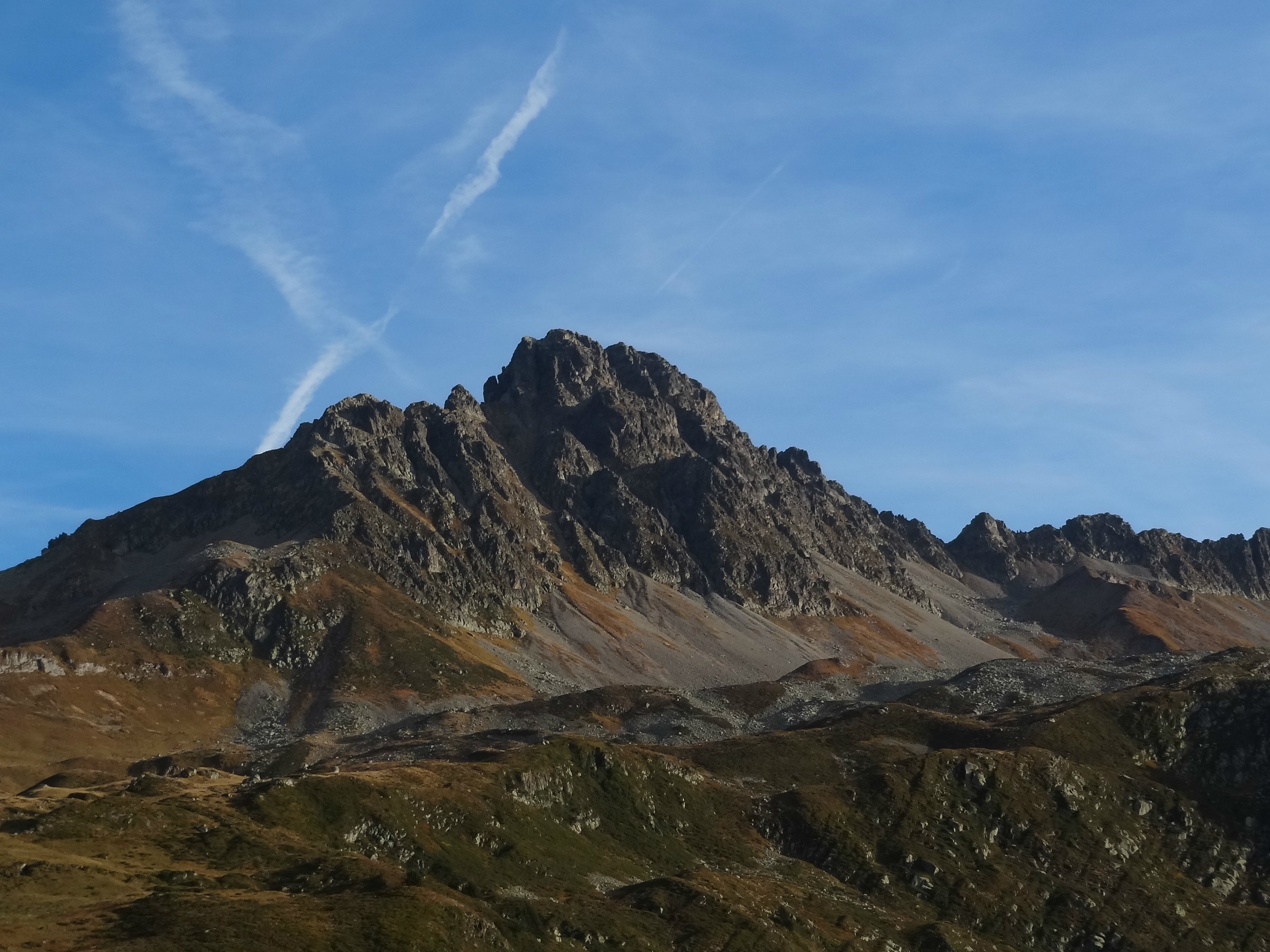
From Notre-Dame de la Gorge From the parking, follow the GR 5 (TMB-Tour du Mont Blanc and a 4x4 track) to the chalet de la Balme (1706m). Only once you have reached here, turn off to the right towards the Col de la Cicle. From Val Joly Follow the piste for about 100m then take a well marked path on the left which joins the GR TMB, just above a little rock band. Follow the GR, pass over the Col de la Fenêtre (2245m), descend 200m then take the good path to the south towards the Col de la Cicle.
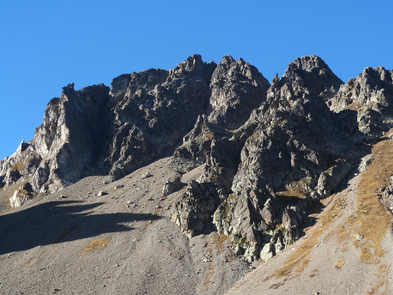
The two approach routes join: go up the scree on a good path. Above a zone of large boulders, (about 75m below the col,) leave the main path traversing on a faint path to the right and at the level of the base of the pillar. Reach the foot of the climb on the E side of the pillar.
Route L1 - 20m - 4c : Climb the first wall on the E side to a belay on a slab on the N side. L2 - 25m - 4a : Go up a slab, slanting to the right, then straight up. L3 - 35m - 4a : Traverse 5m to the right and climb a vertical crack to more broken ground with a belay on the right. L4 - 30m - 5a : Climb a little overhang and then a slab, ascending to the right. L5 - 35m - 4c : Climb another little overhang. The climb a crack exiting on the left. Go up a series of steps and ledges to reach the belay. L6 - 45m - 4a : Go up the easy rocks on the left to reach a crack. Climb this for 20m then traverse to the right. Reach the belay by going up to the right. L7 - 35m - 5a : Climb straight up the slab to reach a belay on a good terrace at the summit of the spur. L8 – 2/3: Traverse to the left over easy rocks, going between two pinnacles, (bolts) to reach the ridge between the col and the Tête de la Cicle.
From here follow a faint path to the summit of Tête de la Cicle.
Descent
To Notre-Dame de la Gorge Descend back down the ridge to the col de la Cicle (faint path, cairns). From the col (2377m) rejoin the approach path and follow it back, past the chalet de la Balme (1706m) to Notre-Dame de la Gorge (1210m). To Val Joly From the Tête de la Cicle : go down the S ridge until you pick up a faint path, (numerous cairns, 2400m), follow it keeping to the W side, eventually down an earthy gully then a boulder slope. Traverse the boulder slope to the W to find a good path at about 2200m which leads to the Bolchu. This descent avoids having to go back over the le col de la Fenetre.

The text and images in this page are available
under a Creative Commons CC-by-sa licence.

Download the Whympr App to view this route in 3D.
- Route search (100 000)
- Community returns
- Weather forecast
- Avalanche bulletin
- Race book
- Creation of tracks
- Topographic map (including IGN)