

Open this route in the app to prepare your next outing.


Details
Approach # 1.30h
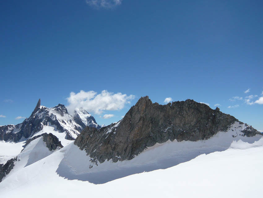
From the Torino hut ago NW to the col des Flambeaux. Descend to the W and pass under the N face of the Aiguille de Toule. Continue W a little towards the Tour Ronde, then climb up due S to the col d’Entrèves.
Route # 2 hr
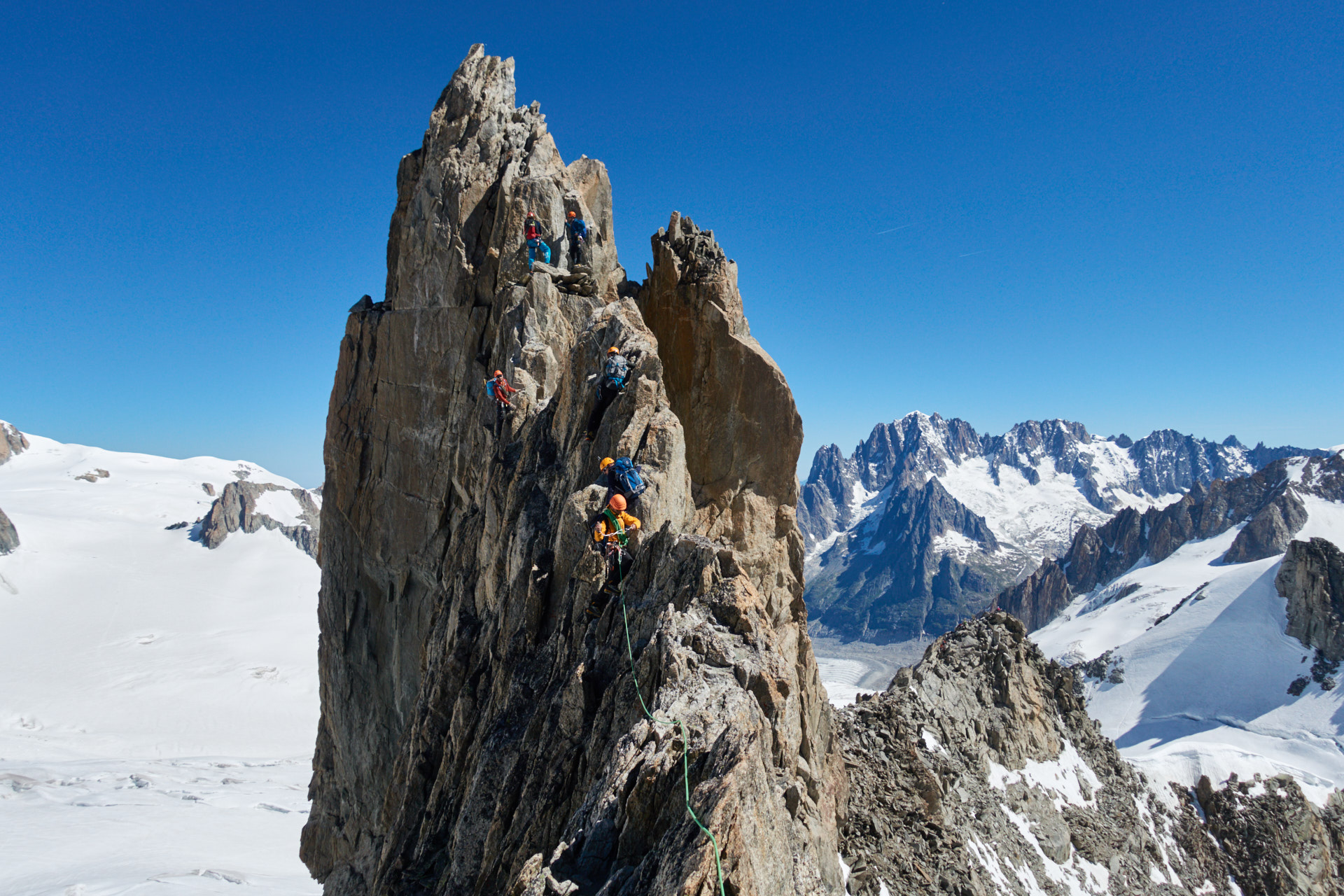
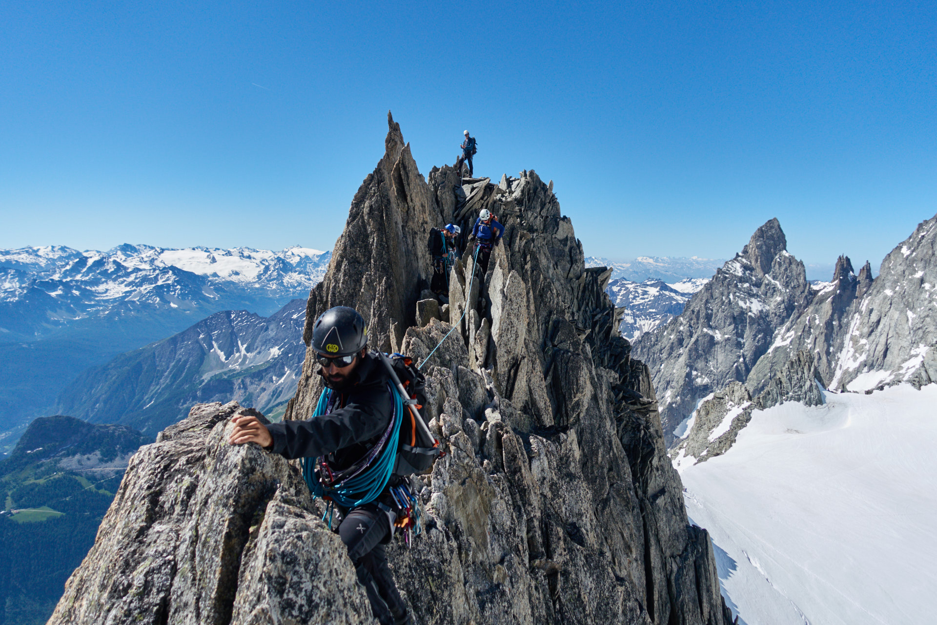
Go up the ridge, very easy at the start, passing sometimes on the E side sometimes on the W side. Just after a down climb at a little gap, (turn the ridge on the right which is easier than down climbing on the left, which nonetheless is very enjoyable,) climb the other side by a short passage of 3b. The route becomes more airy: you keep to the crest of the ridge. Then there is a move of 4b, (a sling in place to pull on,) and some bolts a little higher up, which leads to the summit
See also the route description for the traverse NE-SW, http://www.camptocamp.org/routes/54394/en/aiguille-d-entreves-traversee-ne-sw .
Descent # 1hr + 1hr to the Torino
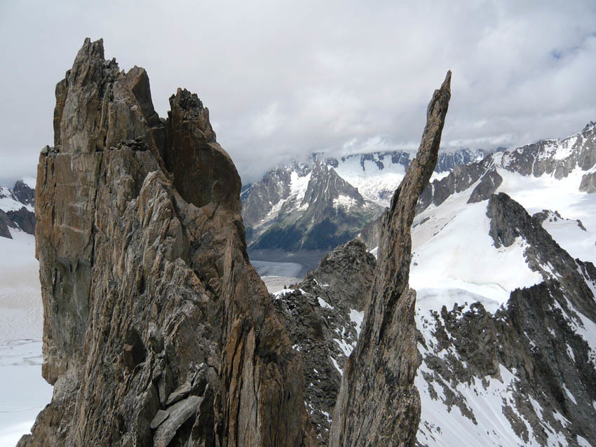
From the summit climb down a system of easy angled cracks, but not always easy to protect, (use nuts, possible to make an abseil, bolts in place.) Continue down easy, mixed ground, along a horizontal section before climbing down broken rocks to reach a snow slope. You rejoin the approach path by going down the NE snow slope, (35-40º,) towards the foot of the Aiguille du Toule.

The text and images in this page are available
under a Creative Commons CC-by-sa licence.

Download the Whympr App to view this route in 3D.
- Route search (100 000)
- Community returns
- Weather forecast
- Avalanche bulletin
- Race book
- Creation of tracks
- Topographic map (including IGN)