

Open this route in the app to prepare your next outing.

Details
Ascent:
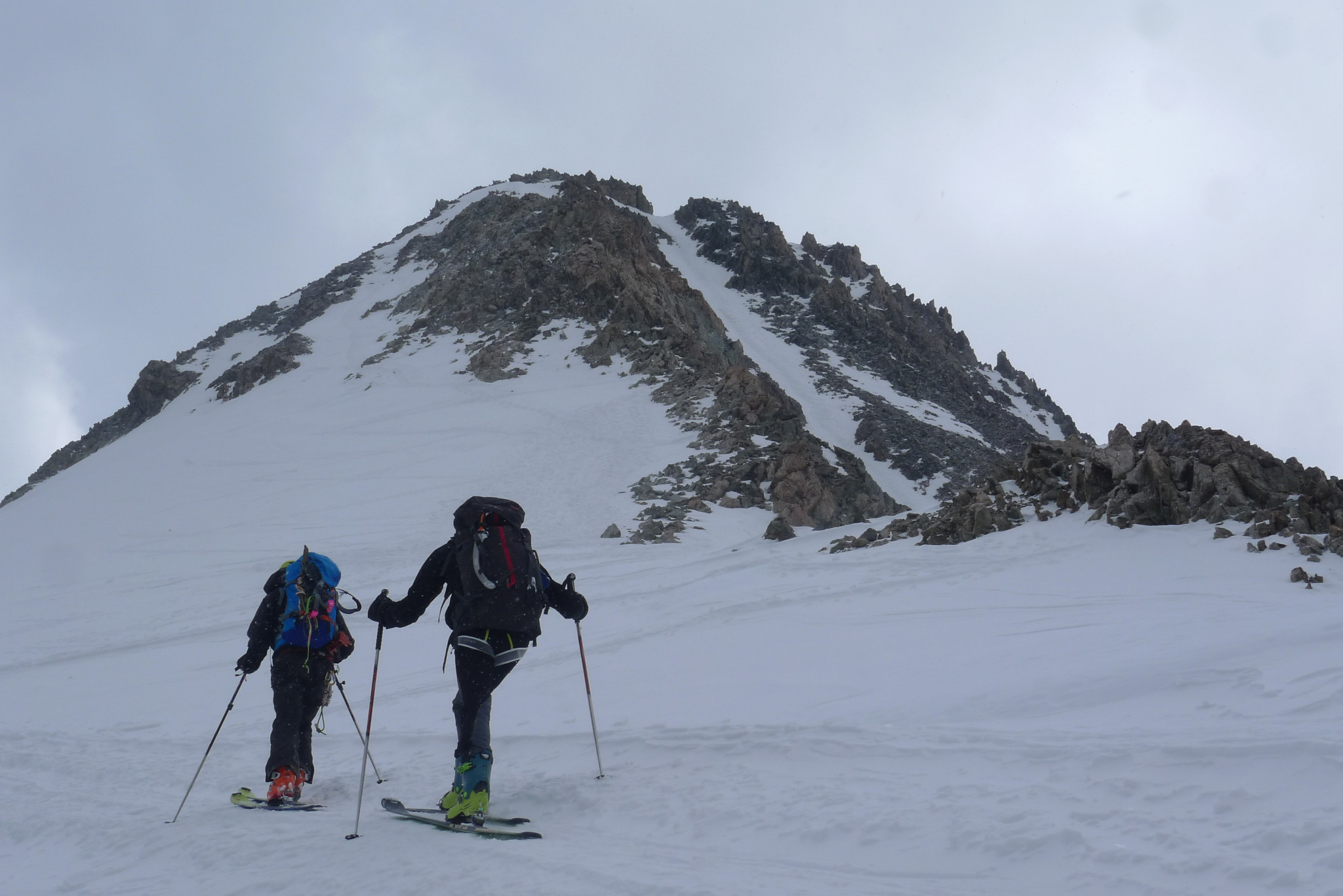
The normal route of Neige Cordier is beautiful and varied, snowy and rocky, which offers a wonderful view, in particular of the cirque of Écrins, the Grande Ruine massif, and the basin of glacier Arsine.
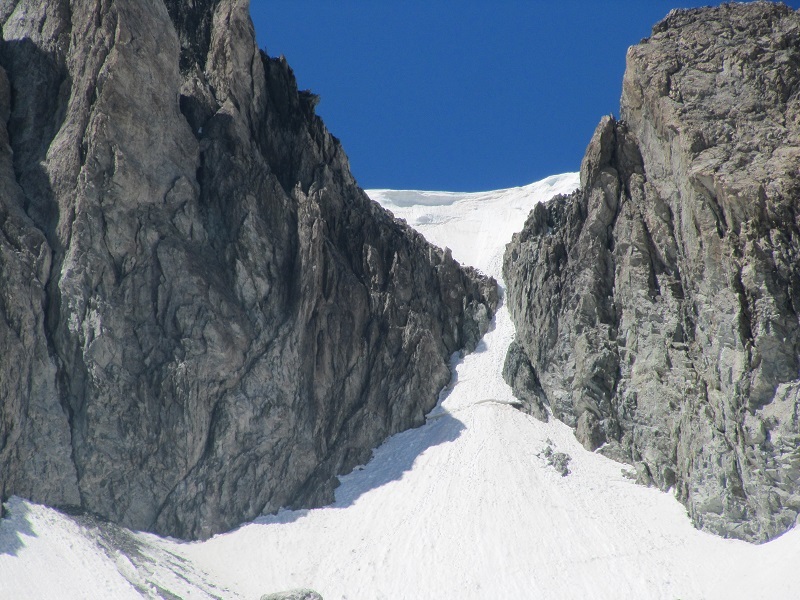
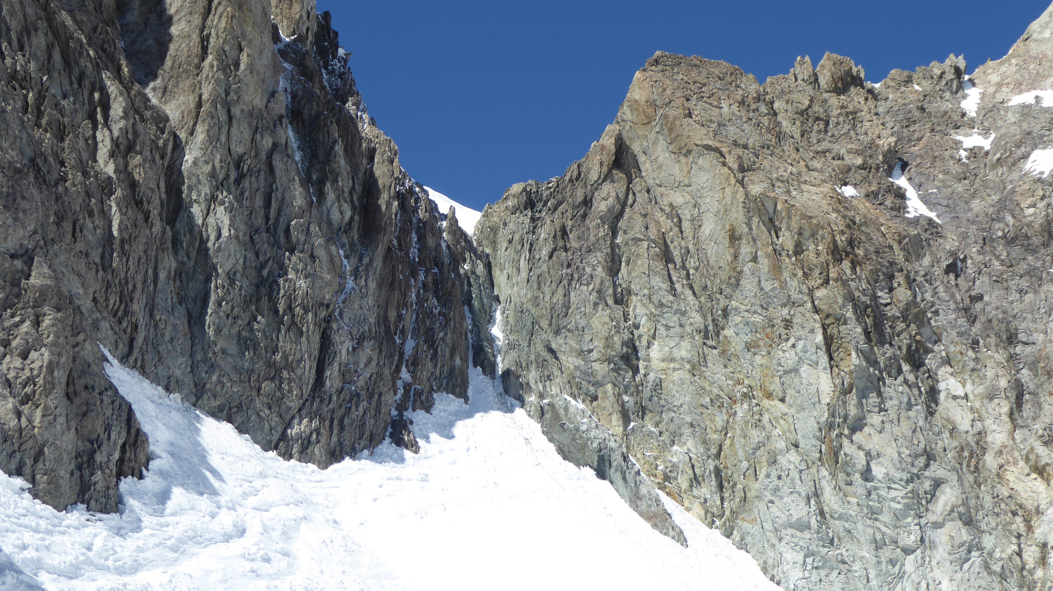
After the Écrins refuge, you first encounter Emile Pic pass (3483 m). For this, leave NE ascending snow covered slopes, or covered with rocks and cree later in the season, until joining the descending glacial slope of the pass towards the Glacier Blanc, to an altitude of approximately 3240m. Join the foot of the corridor coming out of the pass, cross a small bergschrund if necessary and go up it (40° to the end, with possibility of a little loose rock). Then continue via the snow or ice slope, located N of the SW ridge until reaching the rocks of the W valley slope. Then by best following the easy terrace and corridor systems, you first reach a secondary summit then the summit via the ridge. Total time approximately 2h30 from the refuge.
Variations: From the Écrins refuge, you can cross high enough on snow slopes under the Emile Pic rock to a promontory (3360m) located on the SE spur, and turn to the E valley slope in the glacial slope almost at the level of the base of the corridor. This climb can also be carried out leaving from the Glacier Blanc refuge. Then you go up the glacial slope under the Emile Pic pass directly after the Glacier Blanc. This makes it possible to climb to the Écrins refuge by carrying out a route.
Bibliography: - Guide du Haut-Dauphiné, massif des Écrins, book 2, GHM and F. Labande, published by l’Envol, description p.58,59 and 60, photos p.53,54 and 87.
Descent: The descent is carried out via the normal climb route. When the corridor leading to Emile Pic pass is covered with snow or ice, it can be difficult to descend. It takes 1h30 to 2h to reach the Écrins refuge.

The text and images in this page are available
under a Creative Commons CC-by-sa licence.

Download the Whympr App to view this route in 3D.
- Route search (100 000)
- Community returns
- Weather forecast
- Avalanche bulletin
- Race book
- Creation of tracks
- Topographic map (including IGN)