

Open this route in the app to prepare your next outing.

Details
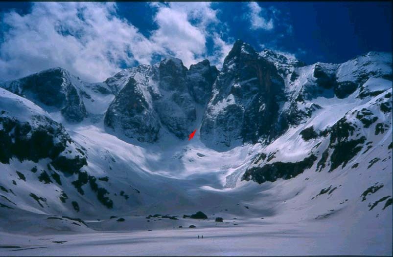
Ascent: This climb was carried out with extremely of audacity by H. Brulle, J. Bazillac, R. de Monts, C. Passet and F. Rooms on 7 August 1889 and has long been the reference for ice climbs in the Pyrenees.
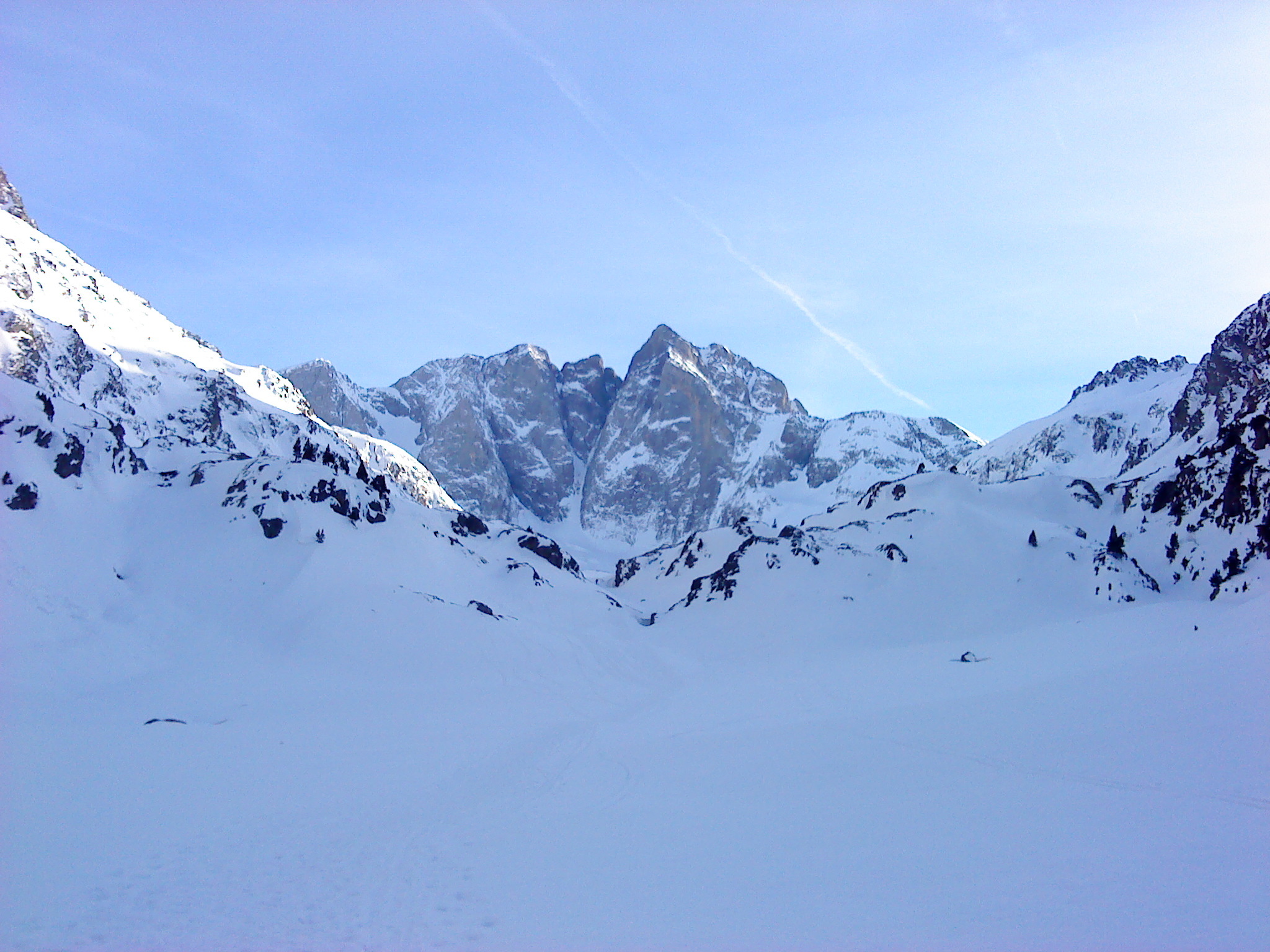
For the Oulettes de Gaube refuge, after the Pountas parking lot, follow the track of pont d’Espagne for 300 metres and head left to a waymarked track which leads to Lac de Gaube and then to the refuge. It takes 2h30. You cannot use the Lac de Gaube chair lift in winter.
From the Oulettes refuge you reach the glacier of the Oulettes that you climb on the right or left to the bergschrund of the pass. Time 1h30.
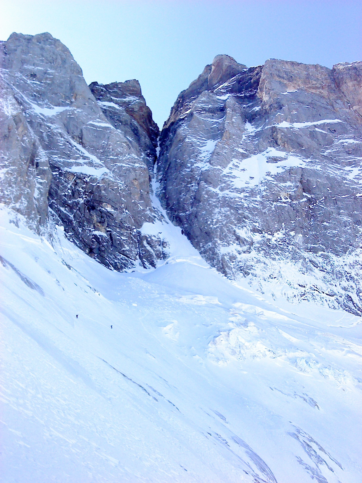
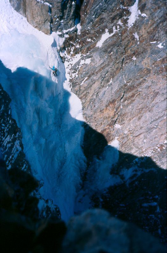
The bergschrund is generally crossed completely on the right (sometimes a difficult section) but it may be too open. In this case, traverse a difficult mixed ramp. Go up the corridor on the left or on the right of the central gully (50°). It narrows around the Piton Carré and forms an ice gully that you follow until under the summit cascade (60° with steep pitches to 70°). Generally scale it on the right in two pitches (70° to 90° based on the conditions). If it is not feasible (which is rare), traverse the original top out in the rocks to the right of the cascade: climb a steep pitch (UK-5a /US-5.8 mixed) to reach a small overhang above it (UK-4a /US-5.5). Via an oblique path to the left on less steep ground (UK-3a /US-5.3), you reach the glacier. It takes 5h. After the glacier, go to the right to reach the summit without difficulty.
Bibliography: - P. de Bellefon, Les Pyrénées (100+belles), Denoël - R. Munsch, C. Ravier, R. Thivel, Passages Pyrénéens, Editions du Pin à Crochets - F. Mousel, Pyrénées courses neiges et mixtes, Franck
Descent: From the summit, go down to reach Ossoue glacier. Follow the glacier to the south-east by carrying out a hook on the right side to avoid the crevasses, sometimes open early in the season. Under it, return on the left towards the southern foothills of Petit Vignemale where the main moraine is reached. Here are two solutions: - follow the moraine until Bayssellance refuge then climb to the Hourquette d’Ossoue and swing to the Oulettes slope. -it starts up on the left in chamois territory via snow slopes and rocks to cross directly the crest of Petit Vignemale at the level of the spot elevation 2731 m. You then emerges at the height of Hourquette d’Ossoue. This solution makes it possible to save about thirty minutes, it is particularly recommended in winter.
From the summit to Bayssellance: 1h30 From summit to Oulettes: 2h30

The text and images in this page are available
under a Creative Commons CC-by-sa licence.

Download the Whympr App to view this route in 3D.
- Route search (100 000)
- Community returns
- Weather forecast
- Avalanche bulletin
- Race book
- Creation of tracks
- Topographic map (including IGN)