

Open this route in the app to prepare your next outing.


Details
Ascent
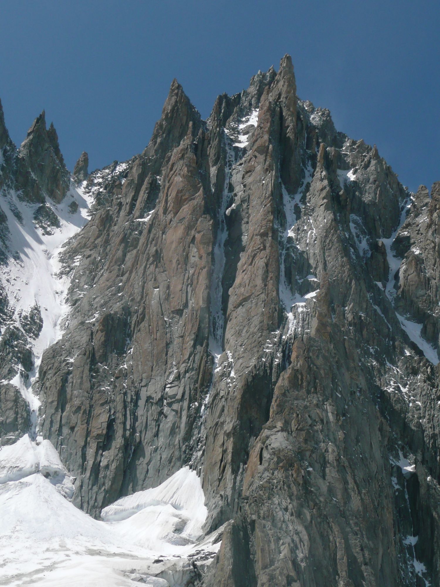
From Aiguille du Midi, descend the ridge completely to the E until the altitude of 3670m. From there, pass the bergschrund and go between the large Rognon and Pointe Lachenal. You reach the corrie of the ENE slope of Mont Blanc du Tacul between the central spur resulting from Mont Blanc du Tacul and Pyramide du Tacul. Go up the glacial scoop on the left of the central spur to the foot of Supercouloir (2h).
There are two possibilities to begin the climb of this ice gully: - Start directly plumb with the corridor by two beautiful pitches in mixed (5c/a1), often surmounted by a snow overhang that is passed on the left (1 piton in-situ). - Start via the two first pitches of Pilier Gervasutti (5a/5c). A traverse on the left via a snowy ramp makes it possible to reach the corridor.
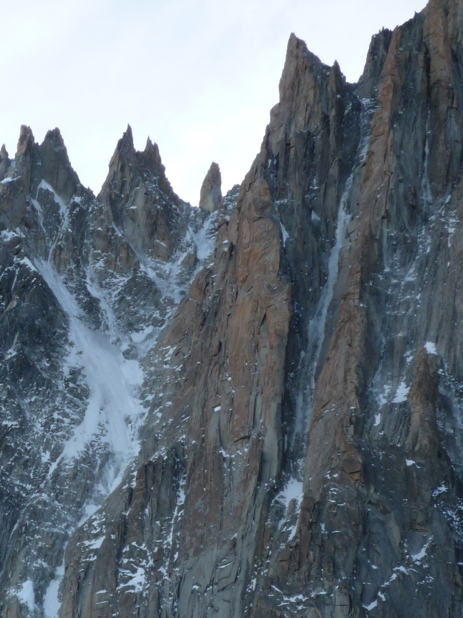
From there, belays are located on the left bank, except the last (to the top out of the ice gully) which is on the right bank. Then climb the gully for around 500m. In the middle and at the end of this part, you encounter two steep pitches with long sequences at 85°. Climb the last pitch on the left. At this point, it is possible to rappel down and the real difficulties are finished. Nevertheless, an outing to the top is much more aesthetic.
Then follow the gully which flattens and widens. Continue pulling to the right to reach the foot of Tour Rouge. Go up easy rocks (sometimes difficult because of ice) until the notch above Tour Rouge. Pass a small notch via the right (NE slope) to reach the final ridge via an easy mixed section. You run into a crest where you go around several rocky gendarmes on the right. Scale the last one via the edge (30m/5b) or avoid it by a small rappel to reach the easy mixed terrain then the summit of Tacul. If you climb the gendarme, you reach the summit via a short snow slope. This climb takes 8 to 10 h.
Descent # 2h30
If the slopes of the normal route of Mont Blanc du Tacul are covered with too much snow, it is advisable to only climb the ice gully part of Supercouloir, i.e. the first 600 meters. Then rappel down using the belays in-situ. Take pitons and cord to strengthen the belays which are often damaged by stone falls in the summer season. But Supercouloir would not bear this name without passing via the summit of Mont Blanc du Tacul. From the summit, head towards the shoulder of Tacul and around 4080m, descend completely N then in the direction of the base of the triangle of Tacul by passing successively 2 bergschrunds which can be steep depending on the conditions or the season. From here it is easy to reach Col du Midi then to go back up to Aiguille du Midi.

The text and images in this page are available
under a Creative Commons CC-by-sa licence.

Download the Whympr App to view this route in 3D.
- Route search (100 000)
- Community returns
- Weather forecast
- Avalanche bulletin
- Race book
- Creation of tracks
- Topographic map (including IGN)