

Open this route in the app to prepare your next outing.

Details
Access
Go to Chamonix, then park at the Aiguille du Midi tram. In winter, a booking for the tram may be essential. Telephone: 04 50 53 30 80. Reservations: 08 92 68 00 67.
Ascent
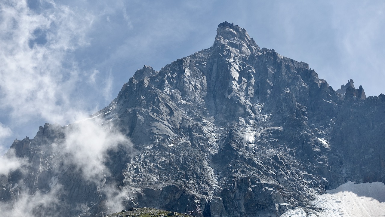
Splendid gully, the most direct, a genuine ice feature, obvious, as far as the summit of Aiguille du Midi. Easily locatable conditions when arriving at Chamonix, at the top of the village of Pélerins. It is a classic ice gully route, opened in 1964 by rock climbers ahead of their time! It is generally travelled in autumn or in spring.
From the intermediate station of the Aiguille du Midi tram, go up the moraine under Aiguille du Peigne in the direction of the Plateau des Pélerins and skirt entirely the base of the north face of Aiguille du Midi. Pass the lowest rocky spur, plumb with the summit of the pinnacle and go up, exactly behind the broad avalanche cone until the bergschrund. From the intermediate station: 1h to 2h depending on the quality of the snow.
Go up the corridor for 500 m, a small steep pitch at 65° at the beginning, then the corridor gradually steepens 40° to 60°. You come out under the first pitches of the gully. A first pitch traverses up to the right (70°, kit out belay). Then there are 3 steep pitches in ice (70° to 85°, pitons) including the last pass to the side of an enormous jammed boulder. The pitch of top out is the steepest, sometimes mixed, you can escape it on the left (80° then 90°, 20 to 30 m). You emerge on a broad snow or ice slope directly in line with the tram station. Go up it ascending to the left, pitons along the rock in the event of wind (frequent) or weighted slope. Then you reach the ridge of the pinnacle (40° to 65°, 150m). From the bergschrund to the summit takes 4h to 8h.
Descent
One of the characteristics of this route is the descent, if you keep to the schedule, if the weather does not deteriorate too much, if the wind does not blow too strong it will be done by tram. Should you undergo one of the unpleasant surprises quoted above, there are 3 solutions:
- Spend night at the Cosmiques refuge. Descend the snow ridge then the snow slopes towards the south. Once at Col du Midi traverse under Arête des Cosmiques and go up a snow slope on the right (west) to easily reach the refuge. 3613 m, 30 minutes from the ice cave of the pinnacle. Telephone: 04 50 54 40 16.
- Spend a bad night in the tram corridors (in theory prohibited, but tolerated in the event of force majeure).
- Descend via Vallée Blanche and the ice sea; long, long, long… and crevassed!

The text and images in this page are available
under a Creative Commons CC-by-sa licence.

Download the Whympr App to view this route in 3D.
- Route search (100 000)
- Community returns
- Weather forecast
- Avalanche bulletin
- Race book
- Creation of tracks
- Topographic map (including IGN)