

Open this route in the app to prepare your next outing.

Details
Access
Chamonix » Argentière. Park at the Grands Montets tram parking lot. Take the tram as far as the summit of Grands Montets. Tel: 04 50 54 00 71. For the descent, get information on the schedule of the Montenvers train. Tel: 04 50 53 12 54.
Ascent
Day 1 # access to Argentière hut
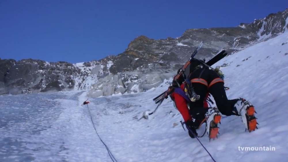
From Grands Montets summit (3233 m) descend on the Glacier des Rognons and descend the Rognons moraine (2754 m) towards the summit by taking the rocky Rognon to the 3000m via the right or left depending on the snow cover. Take the slope towards the right, to the south-east and you reach the glacier at an altitude of 2580m. Go back up glacier on its left bank, which is less crevassed, to an altitude 2650m where you traverse diagonally towards the right bank and the refuge, perched at the foot of the moraine under Aiguille d’Argentière. 1H30 from Grands Montets (be careful of glacial formations). Access in 3h30 from the Lognan intermediate station, difficult in summer, follow the track (summer is the same as winter) until the altitude 2338m, then skirt the glacier via its left bank. Traverse the moraine of the Rognons using the ladders then a trail to reach point 2580m on the level part of the glacier. Access is easier with snow in winter, skirt the moraine of the Rognons via the glacier. Access in 5h00 from Argentière by going up the Pierre à Ric track.
Day 2 # (from the Argentière hut take foot and traverse in the direction of the north face of Droites (1h00 to 1h30)
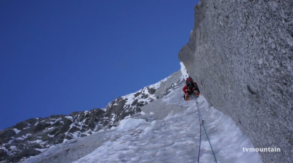
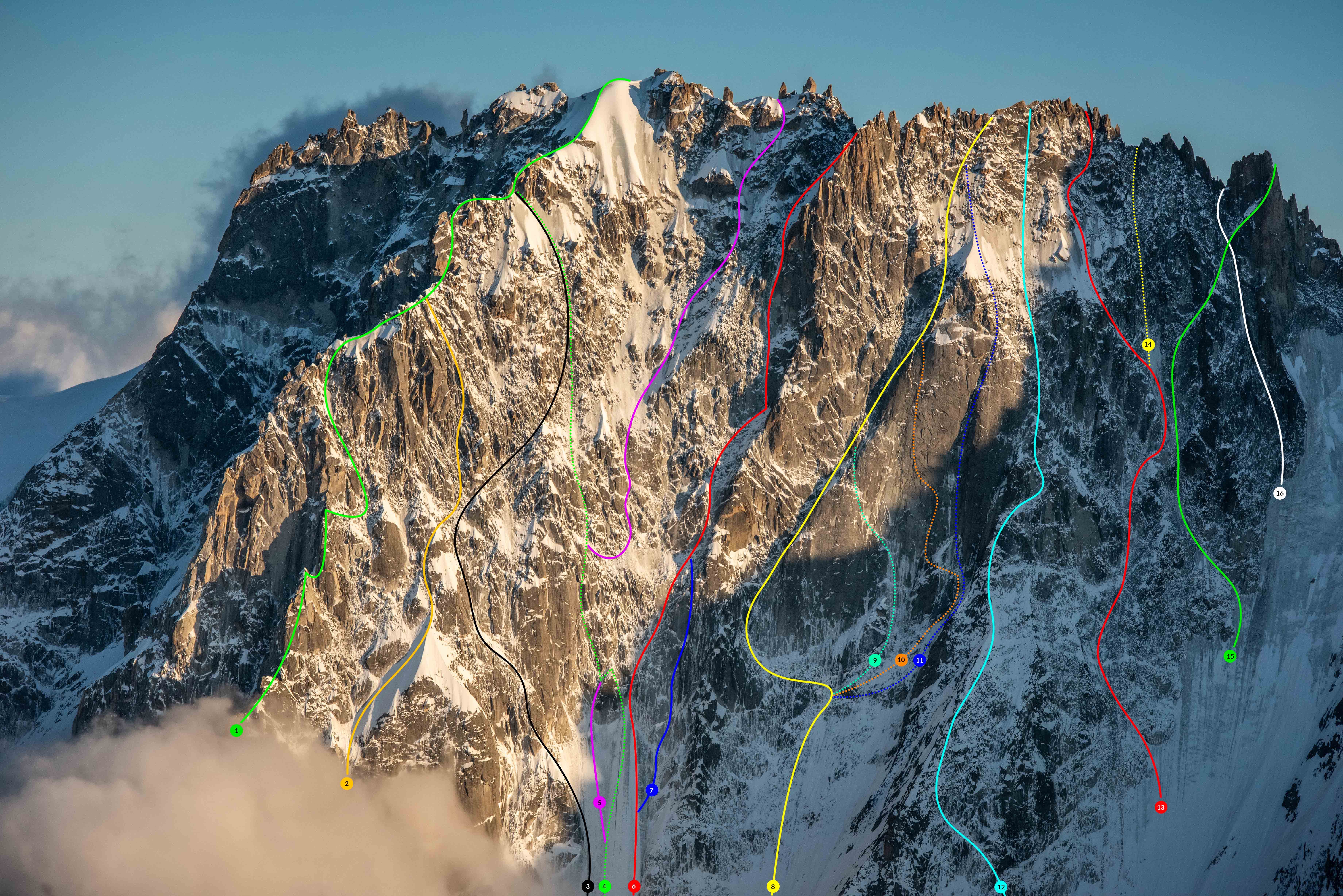
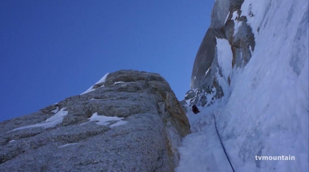
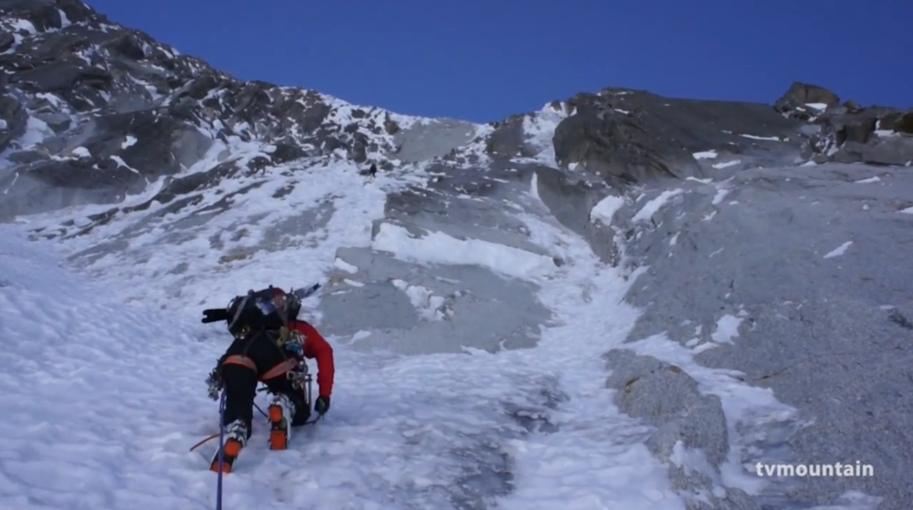
Cross the bergschrund on the right of the face via a small obvious ice gully (15 m at 75°). Then go up the ice slope pulling slightly to the left by aiming at a small rocky spur descending plumb with the summit notch. The slope becomes slightly less steep progressively as you climb (65° then 55/60°). Avoid the rocky spur referred to above on the left and go up to the summit of the ice slope. From the bergschrund 1h30 to 4h00. Three routes start from this point: On the left Axt-Gross, in the centre the Ginat and on the right Jackson. Then take the thin ice gully which starts at the extreme right of the summit of the ice slope. Follow it on 2 pitches and make belays on a broad party ledge at the foot of a vertical slab enclosed on the right by a crackless dihedral. Go up this slab, key pitch, 30 m at 80/90° with a small overhang at the top out, splendid, exposed, filled cracks. Surmount an ice covered slab ascending towards the left (end of the Jackson variant, return towards the Ginat), then go up vertically in the direction of a steep wall (3 pitches, 60/65°). Follow the thin ice gully at the bottom of a dihedral towards the left (85°) to reach the last steep wall (2 pitches). Make belays to the foot of the wall on the left, small promontory. Go up the wall (85/90°, avoidable on the left) and emerge in the summit corridor. Follow the corridor for 100 m (50°) until the notch of the Droites. From the beginning of the ice gullies 5h00 to 10h00.
Descent
From the notch, take the southern slope descent. The beginning is very steep (rappel), then the descent can be done either on foot or rappelling on the right. Check the quality of the pitons and slings. It should be noted that J.Ginat disappeared while roping down at the time of the first climb of the route which bears his name. The bergschrund can be crossed by rappelling (piton and maillon on left bank). Take foot on the glacier by pulling southwest towards Couvercle refuge. 2h30 to 5h00 from the notch to the refuge.

The text and images in this page are available
under a Creative Commons CC-by-sa licence.

Download the Whympr App to view this route in 3D.
- Route search (100 000)
- Community returns
- Weather forecast
- Avalanche bulletin
- Race book
- Creation of tracks
- Topographic map (including IGN)