

Open this route in the app to prepare your next outing.

Details
Approach
From the Albert 1er hut # 2h
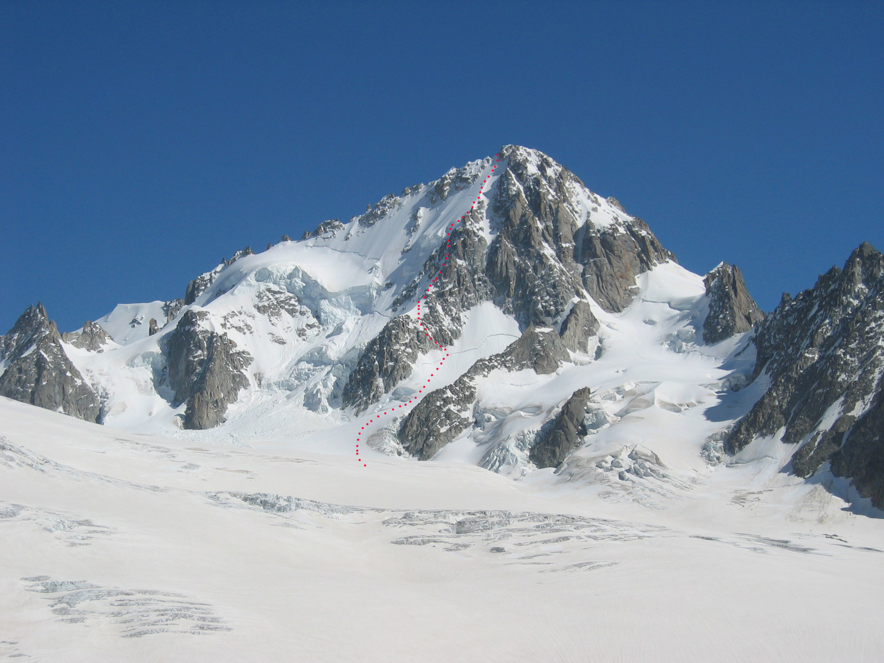
From the refuge, descend slightly to get onto the Tour glacier and go across it towards the spur, (possible if the glacier is well filled, if not follow the route towards the Col du Tour, then at about 3200m curve around to the foot of the route.)
From the Trient Hut
Follow the route to the Col du Tour and drop down to the Tour glacier. Curve round leftwards to reach the foot of the route, without dropping below 3200m.
Route
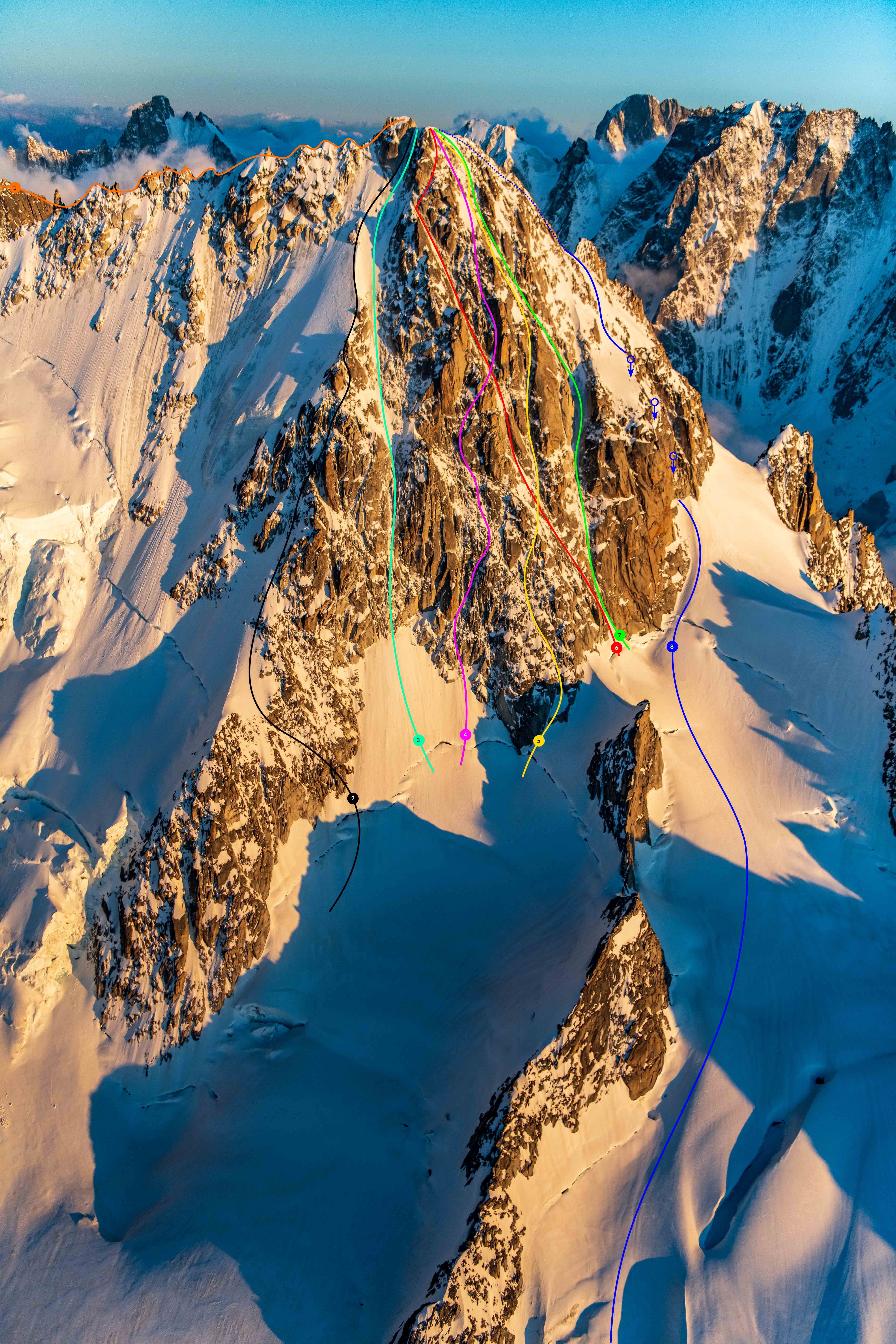
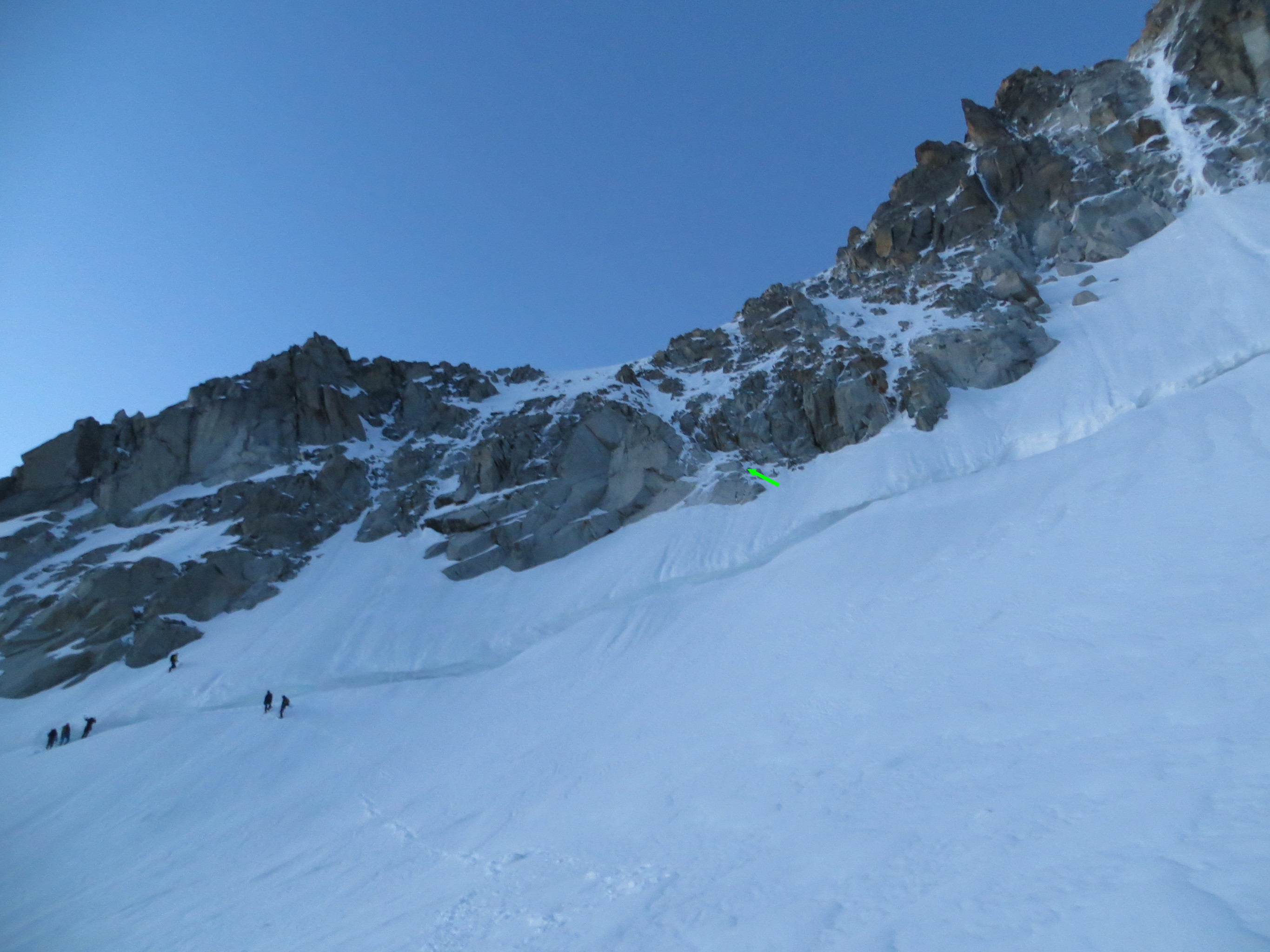
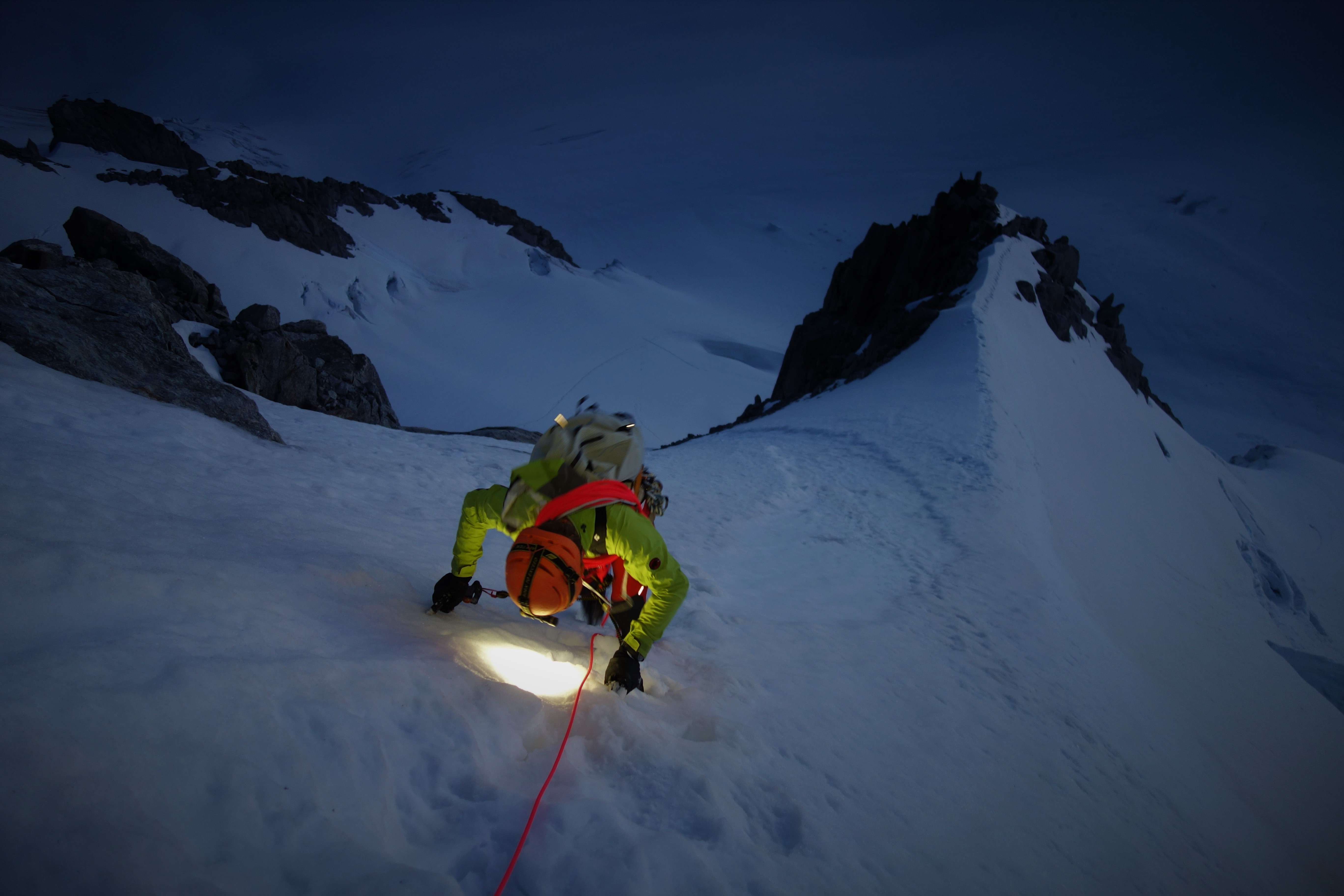
Climb up the initial, large snow slope to the right of a rock buttress coming down from the N ridge. A little snow runnel/gully, (or loose rocks depending on the season) leads to the crest of the N ridge, initially snowy, then quickly mixed. Climb this mixed section as close to the crest as possible, (to avoid being hit by falling ice), some technical climbing, but easily protected. At the end of the mixed section climb the final slope (50°), and exit either on the right or the left (usually easier) of the summit buttress, depending on the conditions.
Descent # 2-3h
From the summit, climb down the narrow W ridge to a rocky saddle. To the right is a nice snow gully which you descend, staying mostly on the right, (max 45º, do not go into the large gully on the left, which is steep and overhangs the Argentière side.) Descend the snow slopes obliquely rightwards to come back towards the Tour bowl at a rocky/snowy saddle.
There are two choices: 1. Follow the rocky saddle towards the Aiguille Adams Reilly by keeping slightly to the right. At the bottom of the saddle a short, steeper section leads to the start of the abseils (20m). The first abseil is on the right bank of an enclosed gully. The second abseil is on the left side of the exit of the gully, (descend this second abseil trending to the right.)
You gain a snow slope which leads to a snowy saddle between the Chardonnet and the Aiguille Adams Reilly. Follow the shoulder glacier, (initially on the left.) 1. From the rocky saddle go obliquely to the right on a rocky/snowy slope. At the foot of the slope, a ledge (cairn) leads horizontally leftwards to a little suspended snowfield. Cross this snowfield, keeping slightly to the left to find the first abseil point, (two pegs, slings). One abseil of 50m, (steep start) brings one to an enclosed gully. Another abseil of 50m (slings on the right bank) brings one to a large block/pillar on the right bank, where there is a steep snow slope under the snowy saddle between the Chardonnet and the Aiguille Adams Reilly. Descend the slope keeping to the rocks on the right, (bergschrund crossed on the right, flake belays, sling in place if one chooses to abseil.)
After the bergschrund the two descent routes rejoin. Descend towards the Tour glacier, (beware, lots of large crevasses). Retrace the morning’s approach to reach the hut.

The text and images in this page are available
under a Creative Commons CC-by-sa licence.

Download the Whympr App to view this route in 3D.
- Route search (100 000)
- Community returns
- Weather forecast
- Avalanche bulletin
- Race book
- Creation of tracks
- Topographic map (including IGN)