

Open this route in the app to prepare your next outing.


Details
Access point
Vrata valley]] (also check the page of the [[waypoints/131757|Aljažev dom valley accommodation).
Route
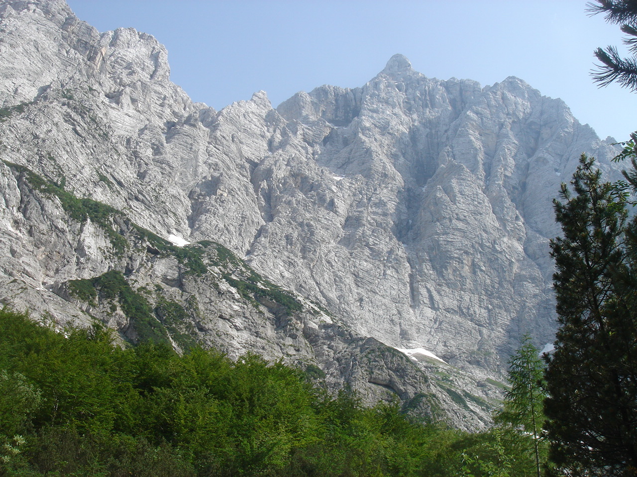
From the parking area at the end of the Vrata valley, continue on foot in the same direction for approx. 5min, to the valley accommodation (the second building, on the left). At the valley accommodation Aljažev dom, continue up the valley along the forest road. Arrows (among others): Triglav, Triglavski dom, Kredarica. At the monument (an enormous carabiner and piton), note the fork to the left of the Tominškova route also leading to Triglavski dom. Continue straight along the watercourse (sometimes dry). Still in the woods, a path to the Pogačnikov Dom hut (as well as to the Luknja pass) branches off to the right. At the next junction, at the source of the Bistrica (at the very foot of the N face), turn left, signposted Triglav, Triglavski dom čez Prag, Kredarica (right, again Luknja pass).
From the source of the Bistrica (alt. approx. 1200m), the path climbs to the left of the N face. After a first step secured with metal rods, traverse at length to the left along a comfortable shelf nevertheless interrupted by many gullies. The route then goes up a flank interspersed with steps (some are secured in via ferrata style), and with scree fields. At the end of a scree, the route joins a water point (around alt. 2100m), towards the left, below the wall of Begunjski vrh (junction with the Tominškova route). Above the water point (weak at the end of the season), the path continues following the scree field. Soon, the marked path to the Dom Valentina Staniča hut branches off to the left. Continue to the right along a now karstic terrain (in case of fog, follow the marks scrupulously), and possibly some very easy snow fields. Shortly before reaching the high plateau Kredarica where the Triglavski Dom hut is perched, two paths are possible, both marked, no matter.

The text and images in this page are available
under a Creative Commons CC-by-sa licence.

Download the Whympr App to view this route in 3D.
- Route search (100 000)
- Community returns
- Weather forecast
- Avalanche bulletin
- Race book
- Creation of tracks
- Topographic map (including IGN)