

Open this route in the app to prepare your next outing.


Details
Approach# (see approach to the Rothorn Hut)
Route
To the Wellenkuppe
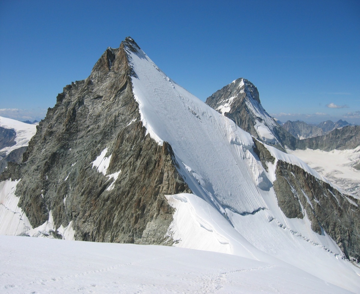
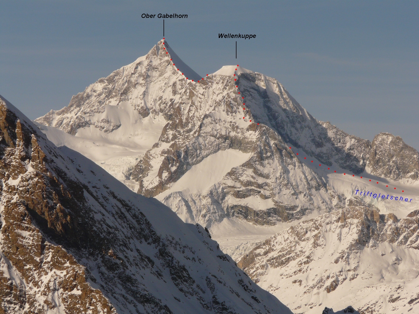
From the Rothorn Hut follow the true left bank of the Trift glacier in a large arc to avoid crevasses. Go up onto the shoulder of the glacier descending from the E ridge of the Wellenkuppe. Leave the glacier to go up the ridge on easy, often broken rocks. You soon reach a rock dome, after climbing some slabs (3a), at the foot of the snowy summit. A 30m slope of 35º leads to the summit of the Wellenkuppe (3903m). Good views of the Matterhorn and the route up the OberGabelhorn. From the Wellenkuppe to the OberGabelhorn Go down the easy slope to the col at the foot of the “Grand Gendarme”. There are several slings in place and a fixed rope leading to the top of the pinnacle (3870m). It is also possible to avoid its summit by a ledge 10m below. From the summit go down a gully on the N side, before traversing horizontally along the ridge on large boulders. A short down climb brings you to the snowy ridge. A short snow traverse, then a steeper snow slope leads to the rocky ridge. Several pitches of good rock lead to the summit, (4063m). (There is one pitch with a 4b layback).
Descent
By the same route, possible with 25m abseils. Traverse the summit and go down the NE ridge in several abseils to reach the snowy part of the ridge. At the Grand Gendarm, use a thick fixed rope to reach the summit and abseil down the other side to the snow ridge leading back to the Wellenkuppee (3903m). From the Wellenkuppe descend the snow dome to the ENE ridge. One abseil reaches a way marked with cairns and metal stakes. Follow this through the boulders to reach a last abseil back down on the shoulder of the Trift glacier. Retrace the approach route to avoid the crevasses, and so back to the Rothorn Hut.

The text and images in this page are available
under a Creative Commons CC-by-sa licence.

Download the Whympr App to view this route in 3D.
- Route search (100 000)
- Community returns
- Weather forecast
- Avalanche bulletin
- Race book
- Creation of tracks
- Topographic map (including IGN)