

Open this route in the app to prepare your next outing.

Details
Approach # 1h
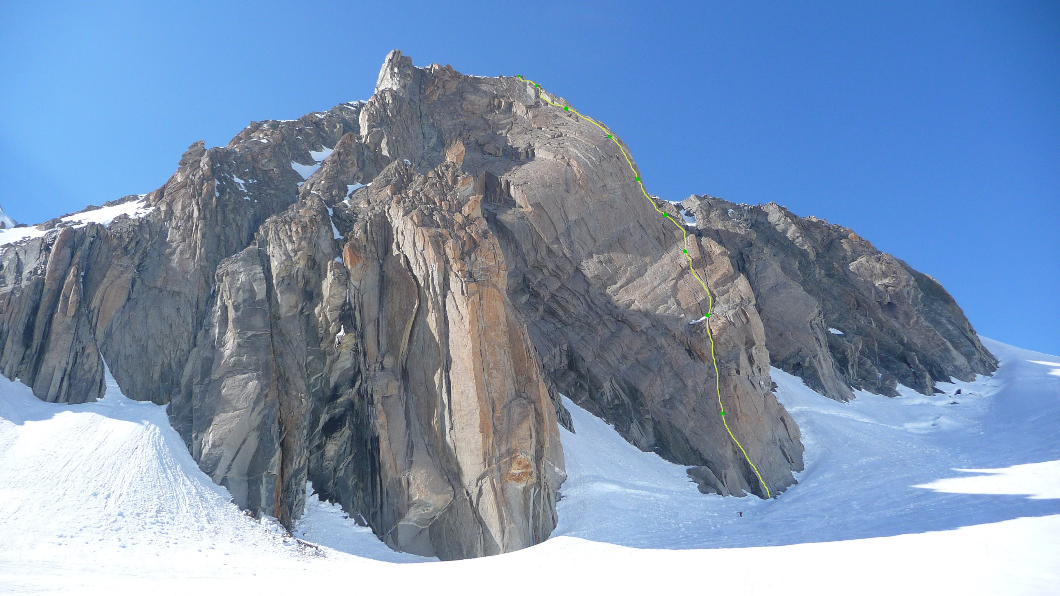
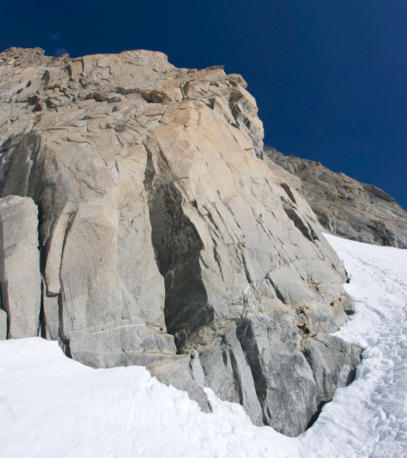
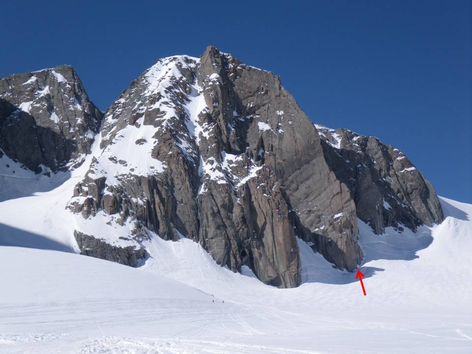
From Aiguille du Midi, descend the E ridge until the altitude of 3670m. From there, pass the bergschrund and cross the Col du Midi plateau to go between the Grand Rognon and Pointe Lachenal. Descend slightly on Géant glacier and then turn to the right to reach the foot of the SE spur where the Contamine route is located.
Route # 4h
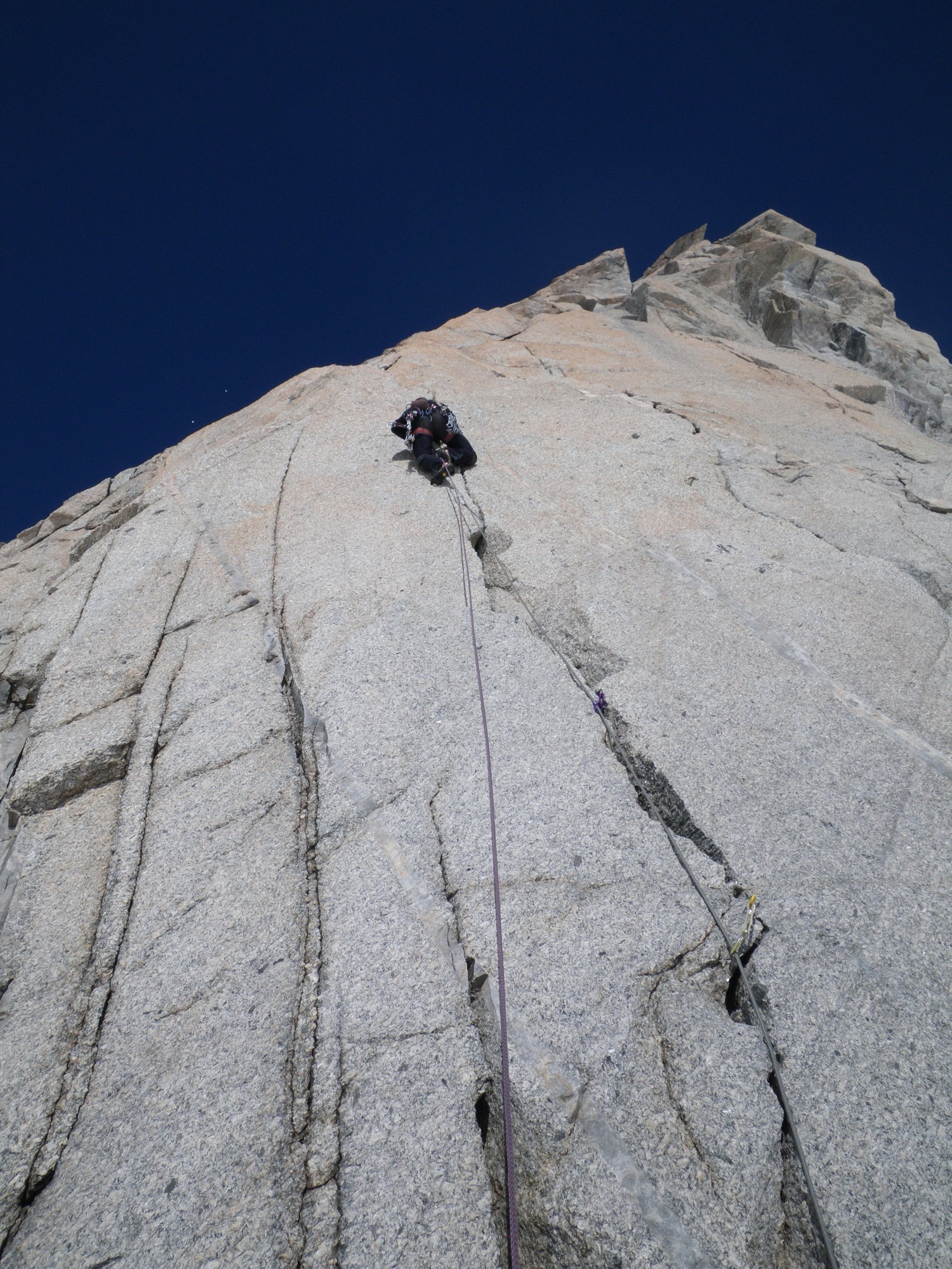
Start on the right of a dihedral, via a small crack which leaves directly from the glacier (UK-5a /US-5.8). Climb a slab on the left (UK-4a /US-5.5) to reach a broad crack that you climb until a large ledge (UK-5a /US-5.8). Then climb a small dihedral (UK-5a /US-5.8) to reach a quartz ledge. On the right, a 40m crack in UK-5a /US-5.8 leads to the ridge. Halfway up this pitch, there is a variant via another crack on the left, then on the right, which leads to the same belay, (same difficulty). Stay on the edge of the ridge during one pitch in F4c. You then reach a large ledge on the right of a 50m high slab wall. Traverse to the left (F5c) to reach a crack and use this to climb the wall (2 pitches in UK-5c /US-5.10c or A1, pitons in-situ). Continue near the ridge via 2 pitches in UK-4a /US-5.5. Climb onto the ridge (UK-4a /US-5.5) and follow this to the summit of the route by easier rocks.
Descent
There are two possibilities: - Either rappel down the face, not necessarily via the Contamine route. There are many routes with more or less good belays. Choosing this descent has the advantage that you can leave your bags etc at the foot of the route and climb “light”.
Or from the summit, descend via a short steep slope to the N (often in ice at the end of the season). From there it is easy to reach Aiguille du Midi.

The text and images in this page are available
under a Creative Commons CC-by-sa licence.

Download the Whympr App to view this route in 3D.
- Route search (100 000)
- Community returns
- Weather forecast
- Avalanche bulletin
- Race book
- Creation of tracks
- Topographic map (including IGN)