

Open this route in the app to prepare your next outing.
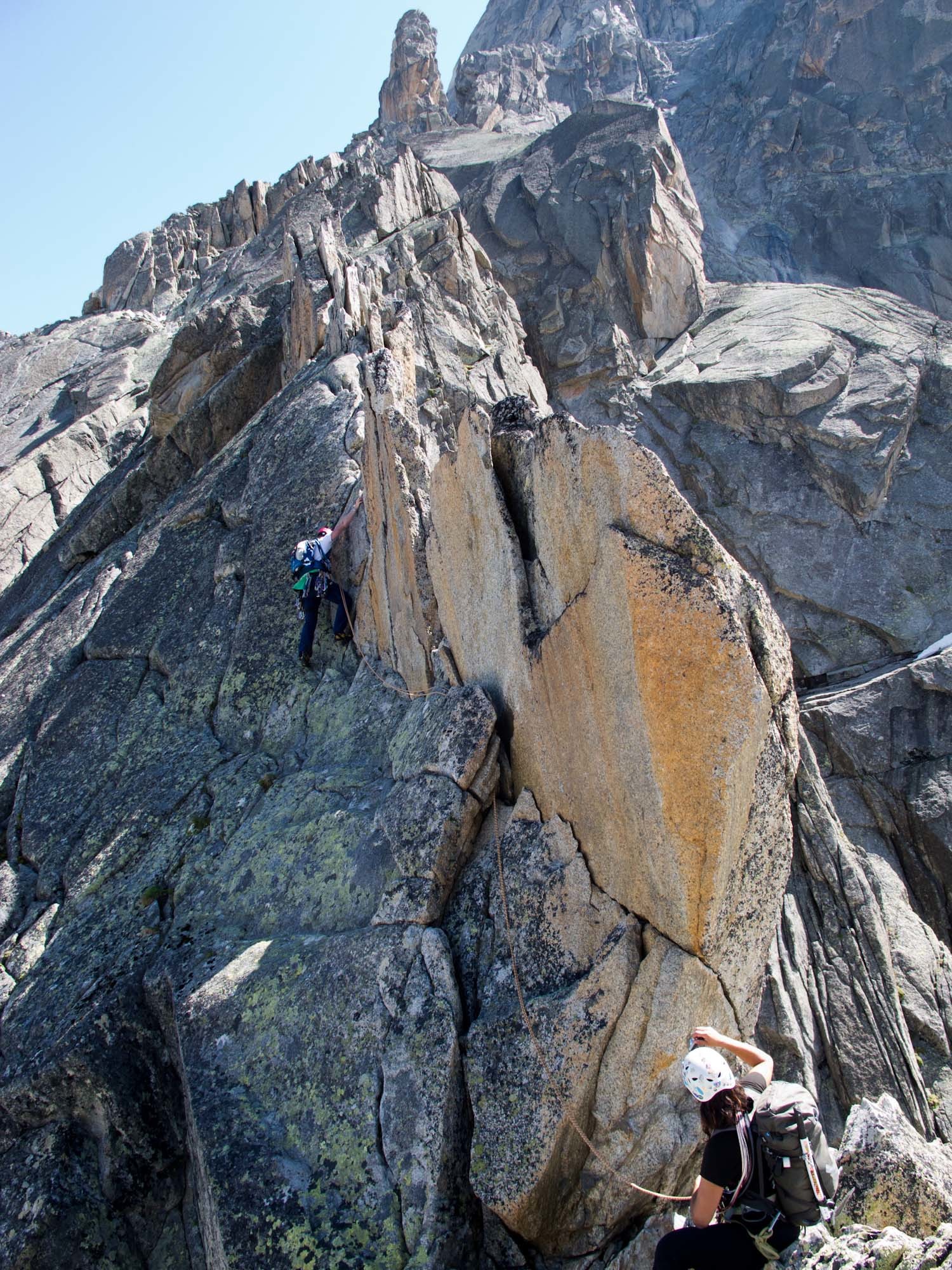
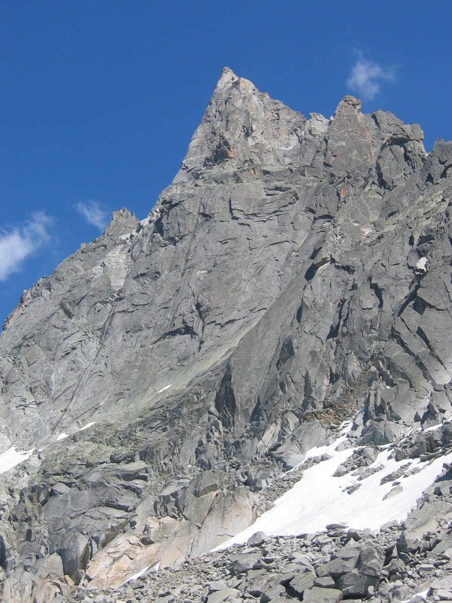
Aiguille du Peigne - Dalle NW du gendarme 3009 m - Les Lepidoptères

Details
Pleasant, varied climbing; not too committing.
Approach
From the Plan de l’Aiguille, climb the spur leading to the “Arête des Papillons” and then to the left, aiming for the right of the snow patches. Pass above a large boulder and follow the ledges to the left, (one passes above the snow patches, cairns.) You come across a small buttress (10m, 4a) and then climb a series of ledges, (firstly to the left then to the right). Bolt with metal link at the start.
Route
L# | 4b then 3b | Slab, climb it on the right.
L# | 4c | Take the crack straight above, (and not the chimney crack to the right next to a little pinnacle.) L# | 4c | Continue by the crack and then a corner L# | 5b | Pass an overhang on the left then easier climbing above. L# | 3/4 | Climb the easy angled slabs.
Either stop here or continue by the l’arête des Papillons (move of 4) for 2 pitches to reach the top of the gully on the normal route.
Descent
Options :
- Abseil down the route if there are not too many other parties on it.
- From the top of the route: 2 abseils to reach the gully on the normal route. One more abseil lower down, continue down the gully and go to the left (cairns) to join the edge of the Pélerins glacier (snow patches). From there follow the path to the Plan de l’Aiguille.
- From the gap at the end of the arête des Papillons (start of the ledge on the normal route) gain the gully in 1 abseil then continue down the gully (second abseil) following the itinerary in option 2.
• In the shade in the morning.

The text and images in this page are available
under a Creative Commons CC-by-sa licence.

Download the Whympr App to view this route in 3D.
- Route search (100 000)
- Community returns
- Weather forecast
- Avalanche bulletin
- Race book
- Creation of tracks
- Topographic map (including IGN)