

Open this route in the app to prepare your next outing.

Details
Approach # 1h00 to 1h30
From the, descend on the glacier and traverse it towards the south in the direction of the north face of Courtes.
Ascent # 3h30 to 7h00
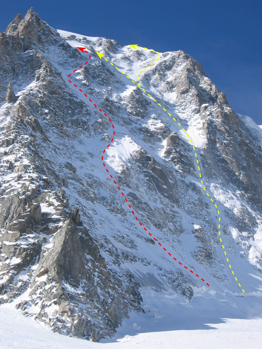
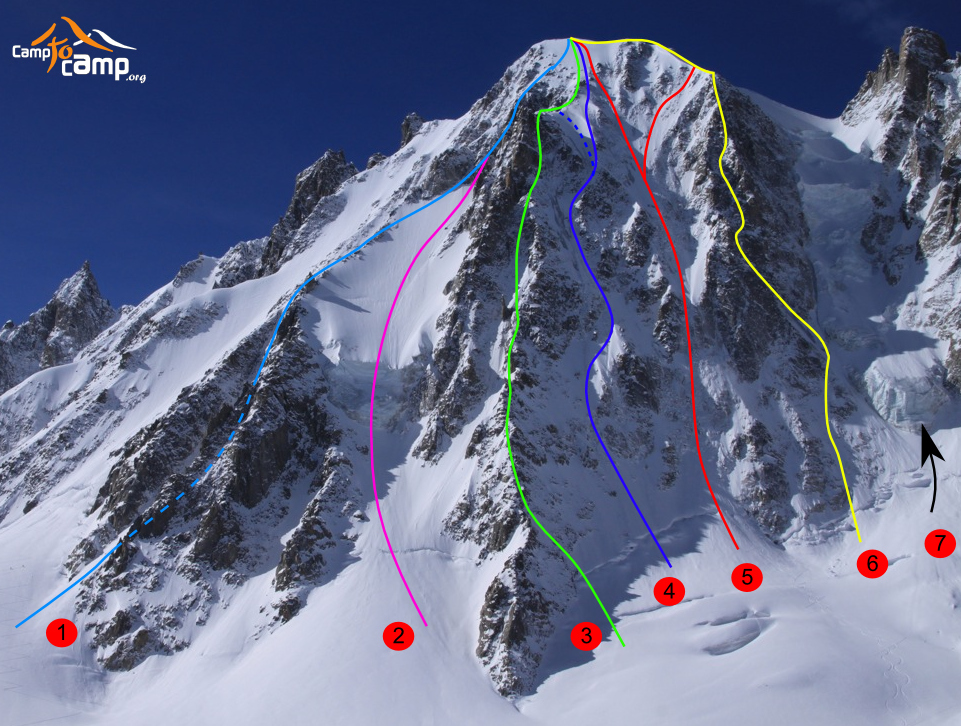
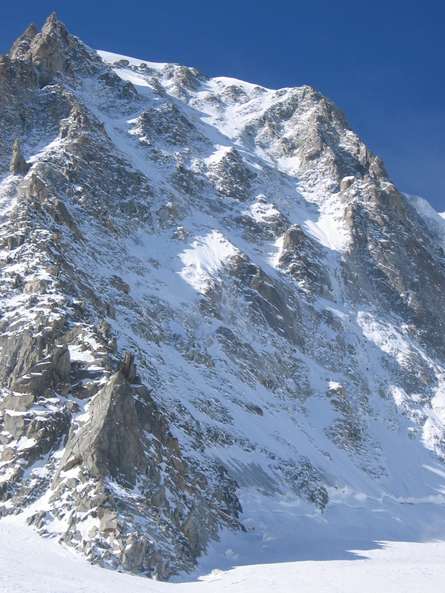
Cross the bergschrund on the left and go up the snow slope to reach the corridor just to the right of the NNE spur of Courtes. Go up steep pitches towards the right by passing 2 small ridges to follow the snow corridor. The corridor widens and goes towards the left in the direction of a red tower on the NNE spur. Do not go to the spur but just before pull to the right in a steep ice gully which emerges on a beautiful snow slope, under a beautiful snowy ridge. You reach this ridge by ascending on the left and on its extension to reach the summit. The face is exposed NNE, so it is imperative to leave very early.
Descent # 1h30 to 4h00 depending on the conditions
From the summit of Courtes, traverse towards the SE in the direction of the corridor of the NE slope of Courtes. The descent of the NE slope despite its maximum 50° slope requires a great deal of care. The least lack of attention can be drastic.(a little equipment in-situ on the banks, but not continuous!) Check on the snow conditions on the slope (different orientation from the ascent route) and the frost quality of the snow, the slope gets the sun early in the morning. If the bergschrund is too open, at the bottom of the slope pull to the left bank until the rocks (rappel in-situ; check its conditions! ).
From there to find your skis for the descent to Argentière.

The text and images in this page are available
under a Creative Commons CC-by-sa licence.

Download the Whympr App to view this route in 3D.
- Route search (100 000)
- Community returns
- Weather forecast
- Avalanche bulletin
- Race book
- Creation of tracks
- Topographic map (including IGN)