

Open this route in the app to prepare your next outing.

Details
Approach
From Gramusset From the parking at Col des Annes, follow the signposted path to the Gramusset hut, then go up to the col des Verts (clearly identifiable to the right of the summit.) From Doran From the parking at Burzier, firstly follow the forestry track towards Doran then at a hairpin, (green fence), take the footpath through the woods leading more directly to the Doran chalets. From Doran, follow the signposted path to the Pointe Percée and the Quatre-Têtes until the Col des Arêtes Noires. From this col go due W, firstly up the ridge then in a cwm under the S face of the Pointe Percée, until it is possible to climb up to the Col des Verts.
Route
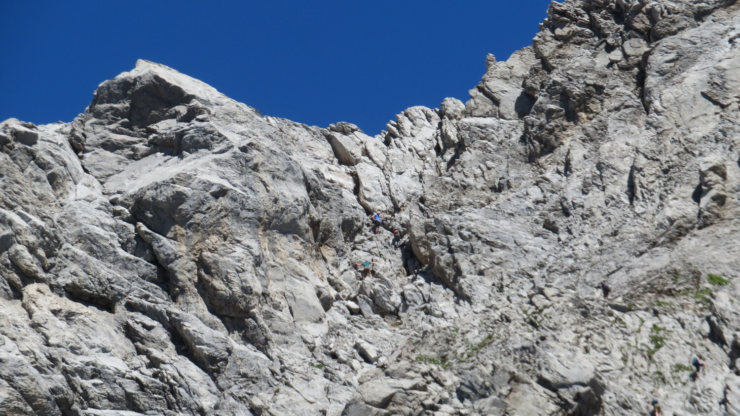
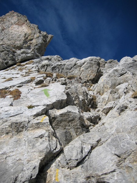
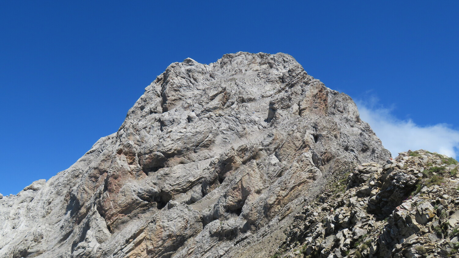
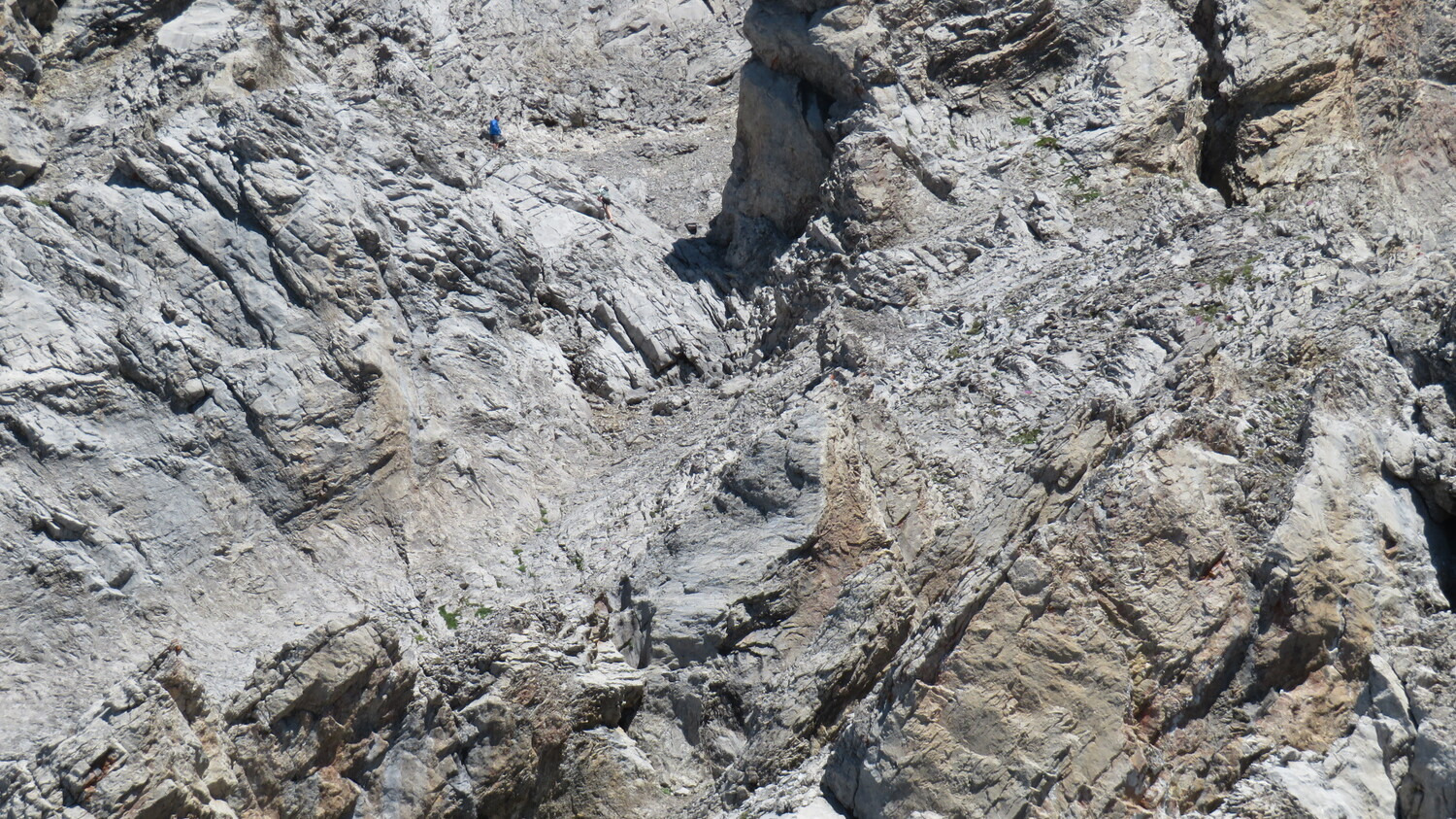
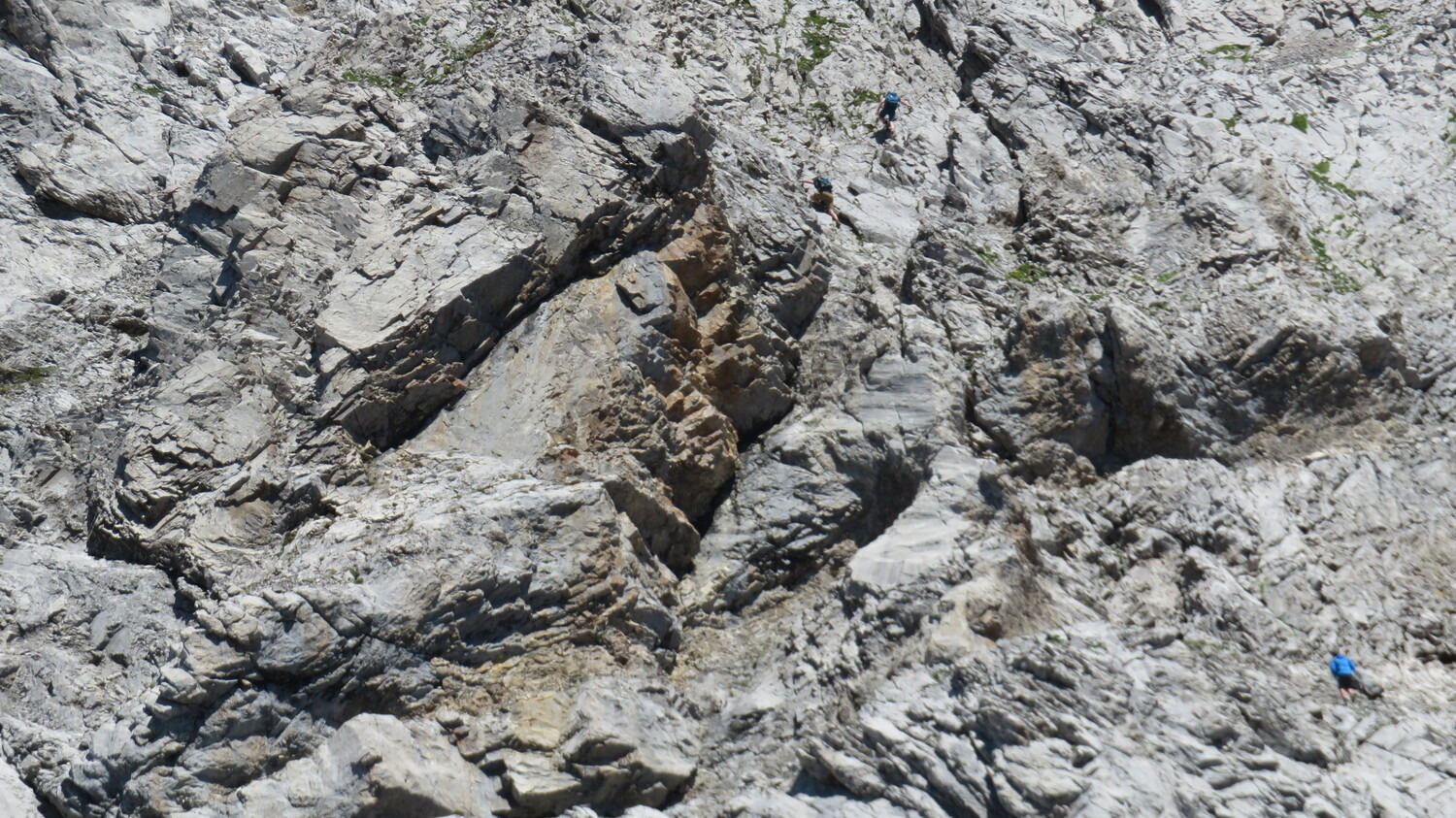
From the Col des Verts, go N up a faint path which follows the steep, grassy, S ridge, (red and green markings) The Sallanches Chimneys start at the level of a commemorative plate. The 1st chimney is fairly steep but with very good handholds, (2b). A belay chain at the exit with a belay ring some 20m higher up. The continuation is easy, with lots of yellow and green markings. Only the exit is a little more difficult, (a slight overhang which is bypassed to the left, belay ring at the end. Some sealed rings can be used for belaying but many parties will not need a rope. From the top of the chimneys you join the normal route which is followed directly to the summit.
Descent
By the W face (normal route). Go down the W face, following a well worn path, (orange paint blobs.) Do not miss where the path goes off to the right, (about 100m below the summit,) to leave the descent gully for slopes of slabs and small stones. Follow the path and orange marks through a scree zone to a good path leading back to the hut and eventually the parking. By the ascent route A 30m rope can be useful for beginners at the first chimney.

The text and images in this page are available
under a Creative Commons CC-by-sa licence.

Download the Whympr App to view this route in 3D.
- Route search (100 000)
- Community returns
- Weather forecast
- Avalanche bulletin
- Race book
- Creation of tracks
- Topographic map (including IGN)