

Open this route in the app to prepare your next outing.

Details
Access
Chamonix - Aiguille du Midi tram as far as the summit. Round trip 69 euro.
Ascent
Mont Blanc du Tacul is easily accessible from Aiguille du Midi tram, which makes it a very popular summit. On it N face, there is a small rocky bastion where there are several ice gullies including Goulotte Chéré.
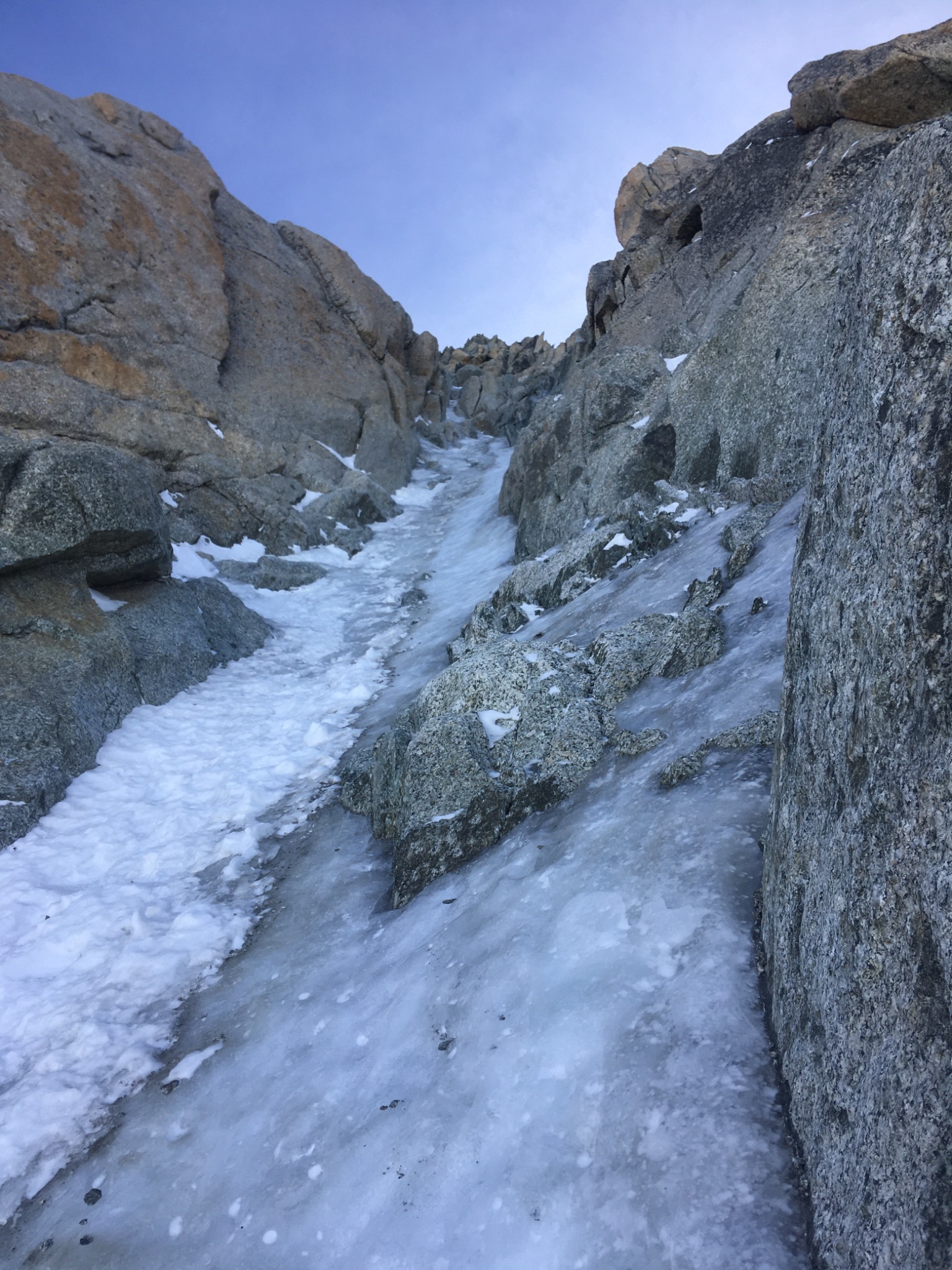
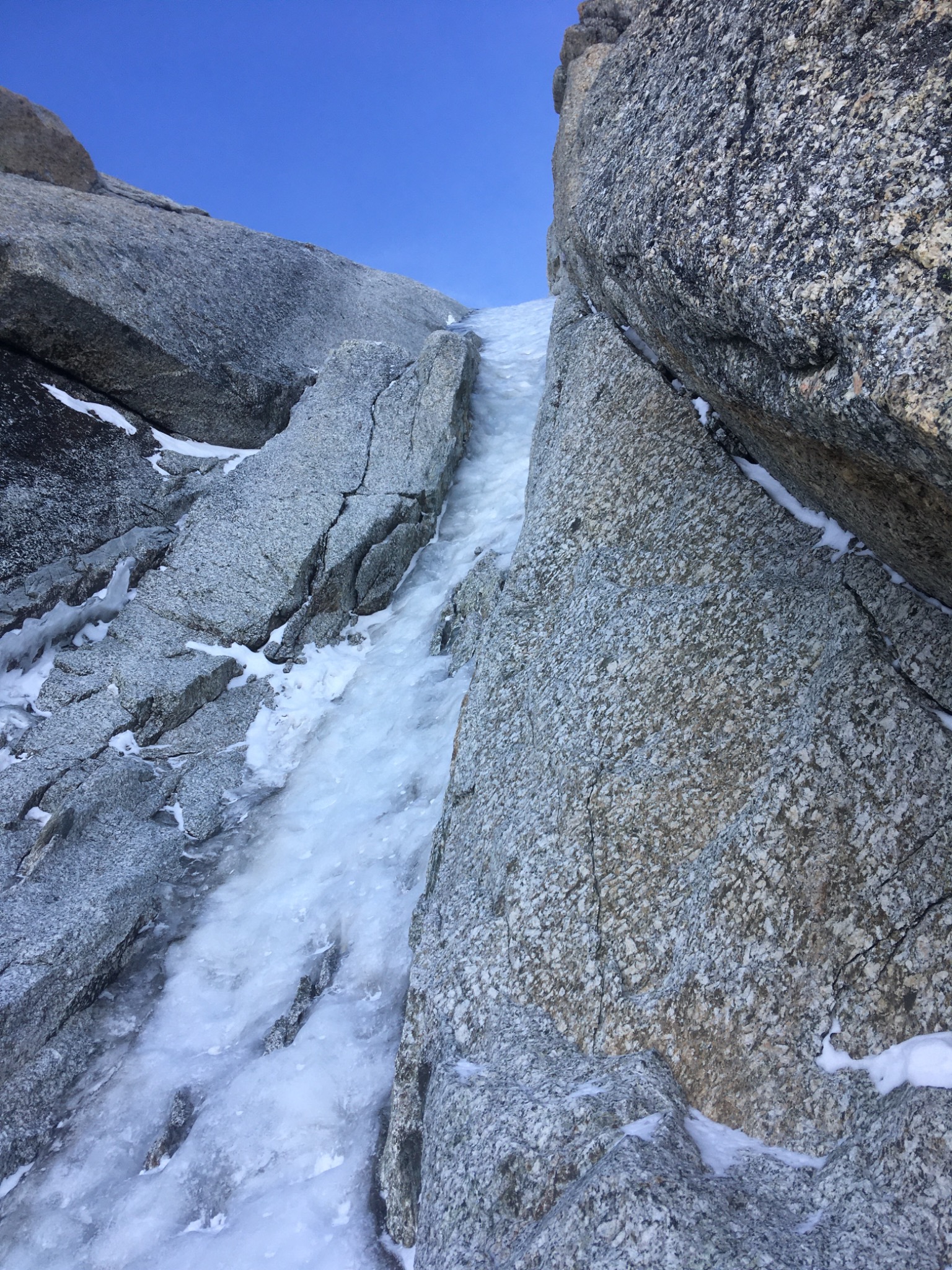
Goulotte Chéré is an ice gully for beginners. You reach it via Aiguille du Midi in less than an hour. There are numerous escape routes and if you climb until Mont Blanc du Tacul, it constitutes a pretty high mountain route (at more than 4000m!).
From the summit of Aiguille du Midi, descend the ridge completely to the E until the altitude of 3670m. From there go completely S, passing the bergschrund and head towards Cosmiques refuge. Pass underneath the refuge and head towards the triangle of Tacul passing near Col du Midi as if starting the normal Mont Blanc du Tacul route. The ice gully, clearly visible from Cosmiques refuge, is located on the right side of the triangle of Tacul. You can reach its foot in 1 hour from the summit of Aiguille du Midi.
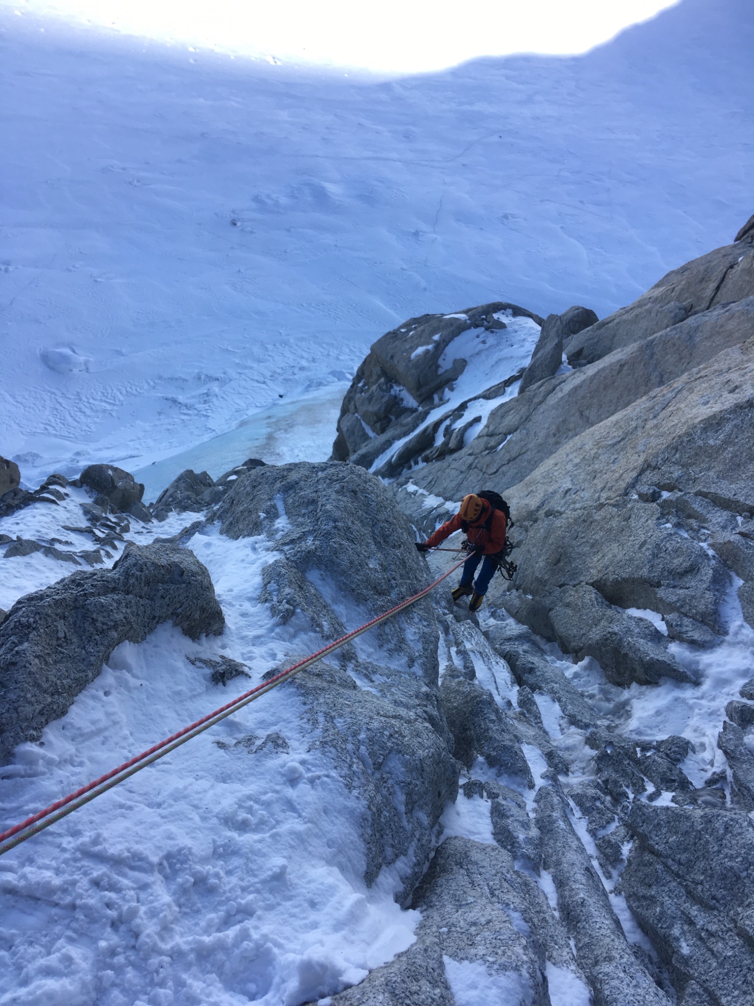
Pass the bergschrund and go up the snow cone (45°) to the base of the rocks which border the ice gully on the left bank. The first belay is located here (60 m). From this place, the ice gully starts. You climb its centre part (60°-75°) to pass a throat sometimes in rock (3 pitons) depending on the conditions. The following belay is located on the right bank (45 m). The following pitch is the steepest (85° for 7m then 70° and 50°). At the level of the steep part, there are pitons on the left bank. Then the ice gully becomes less steep, 70° then 50° to arrive at the following belay - again on the right bank (50 m). An old belay is found 5 m below that at the left bank in the rocks. The following pitch is still steep, 60-70° then 80°. There are 2 possibilities for making this pitch: either on the right, same slope but rather narrow with pitons (on the right while climbing), or on the left in ice (to be protected). The following belay is on a rock in the center of the couloir (50 m). At this spot the difficulties are finished. Many rope parties return by rappelling. Nevertheless, there is another way of escaping: traverse to the right, and via an easy gangway, to reach the top of the first bergschrund of the normal Tacul route.
If you decide to continue, there are 5 more pitches, first in ice and snow (50° to 60°) then mixed (M2-M3) to reach the summit of the triangle of Tacul. Then go up the ridge until the shoulder to reach the normal Mont Blanc du Tacul route (2 hours).
Descent
The descent is made in different ways depending on the spot where you decide to descend from.
If you descend after the last steep pitch, there are 2 solutions: - either rappel down (2 50 m ropes). From the last belay, there are more than 50m to reach the bergschrund, but the snow cone is not very steep and the bergschrund generally passes well. -or traverse to the right to reach an easy gangway which leads to the top of the first bergschrund of the normal Mont Blanc de Tacul route. Then, there is 1 more bergschrund to pass (which can be steep) and you descend easily until the base of the triangle to take the route used in the morning.
If you decide to go to the summit of Tacul, you descend by the normal route. From the summit, head towards the shoulder of Mont Blanc du Tacul and around 4080m, descend completely N then in the direction of the base of the triangle of Tacul by passing successively 2 bergschrunds which can be steep depending on the conditions or the season. Be careful, in winter, the slopes of the normal Tacul route can be weighted with snow, it is therefore preferable to descend the ice gully by rappelling. If visibility is low or if the way up and down on Tacul is on sheer ice, descending via the Contamine-Négri is another option. Beware of serac falls here!

The text and images in this page are available
under a Creative Commons CC-by-sa licence.

Download the Whympr App to view this route in 3D.
- Route search (100 000)
- Community returns
- Weather forecast
- Avalanche bulletin
- Race book
- Creation of tracks
- Topographic map (including IGN)