

Open this route in the app to prepare your next outing.

Details
Approach
From the Torino Hut
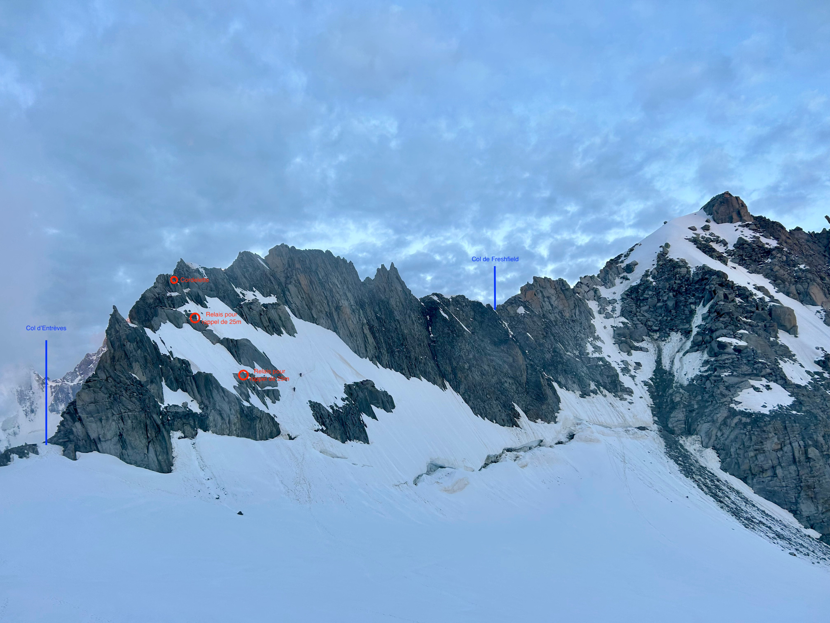
Cross the col des Flambeaux - NW, 3407m – then descend diagonally to the NW under the Aiguilles de Toules. At the plateau around 3300, go obliquely to the SW to climb up the glacier leading to the Col d’Entrèves.
From the Aiguille du Midi
Descend the classic Vallée Blanche via the col Gros Rognon, pass under the Pointe Adolphe Rey and climb up to the S, bypassing a heavily crevassed area, to get to the col d’Entrèves.
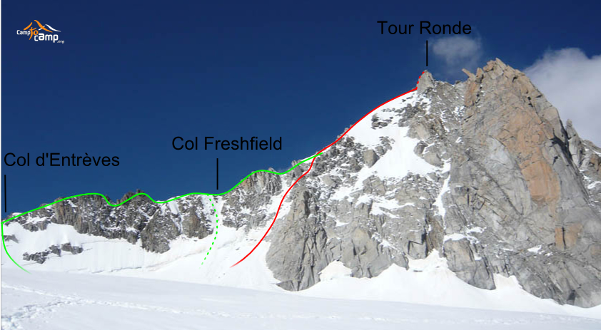
Route # Col d’Entrèves, Col Freshfield and summit
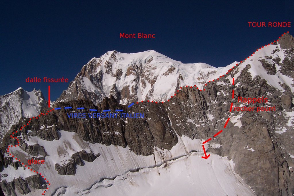
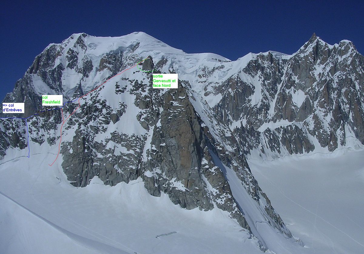
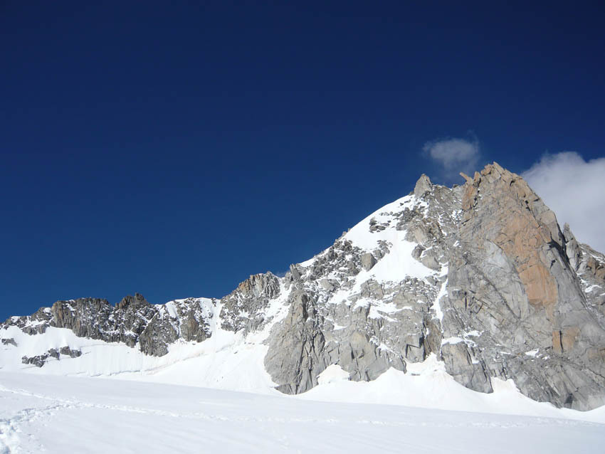
Go up the snow slope (45°) on the French side and then climb the ridge. The pinnacles are always bypassed on the Italian side (S). The inclined slab before the first pinnacle can be climbed “à cheval” on its crest or bypassed by descending 15m and go back up a small gully, (mixed, nuts,) to the top of the slab and then passing onto the Italian side. The ridge becomes easier and is followed past the Col Freshfield, to join the normal route to the summit.
Descent
By the E face (slopes at 45-50°). Abseil points in place in case it is too icy.
If the face is really to « dry », one can descend to the Col Freshfield and abseil down directly to the glacier. The first abseil point is a sling slightly on the French side, the second is on the right, the third is on the left and fourth directly in the line. A full 50m is needed to pass the begschrund.

The text and images in this page are available
under a Creative Commons CC-by-sa licence.

Download the Whympr App to view this route in 3D.
- Route search (100 000)
- Community returns
- Weather forecast
- Avalanche bulletin
- Race book
- Creation of tracks
- Topographic map (including IGN)