

Open this route in the app to prepare your next outing.
Min / max altitude3200m / 4248m
Duration13 hours 36 minutes
Main facingSW
Route typeTraverse
Glacier gear required
Lift approach
GearPiolet clásico (eventualmente uno más para la rimaya, crampones
1 cuerda de 50 o 60 m (60 imprescindibles para rapelar desde Isolée.
Un juego de friends (C4 0.3 hasta 2) y un pequeño juego de fisureros.
5 cintas exprés (una alargada), cintas grandes.
Source
Details
Approach
Leave from the Col du Midi, (Cosmiques Hut) or from the Torino hut, (shorter).
Route
Climb up to the Col du Diable
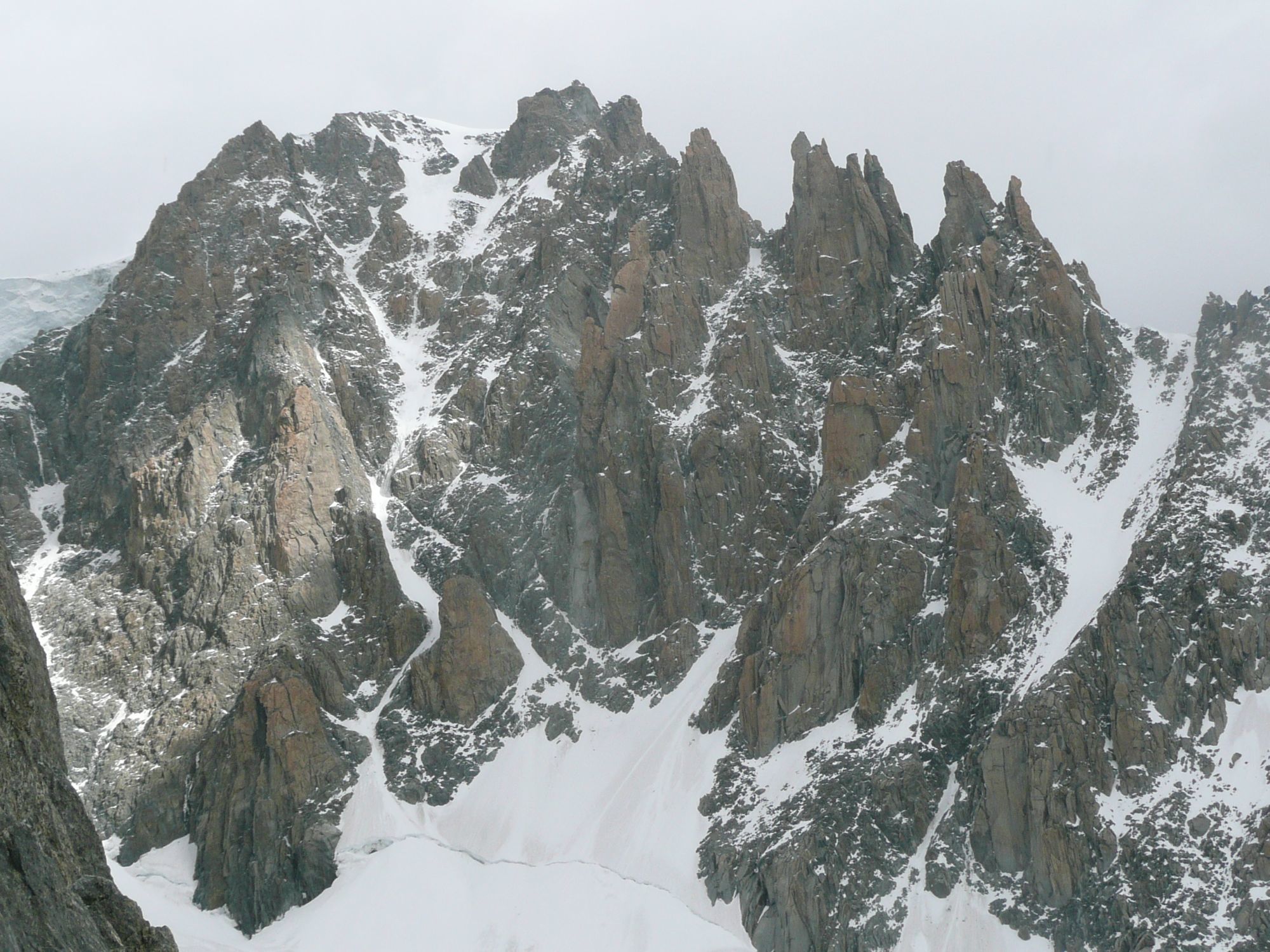
Several routes are possible: 1. SW couloir (the classic route) 2. Macho couloir (AD) 3. Chéré couloir (D/500m)
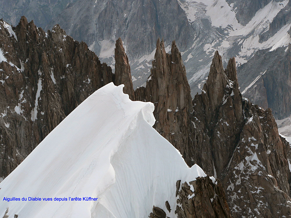
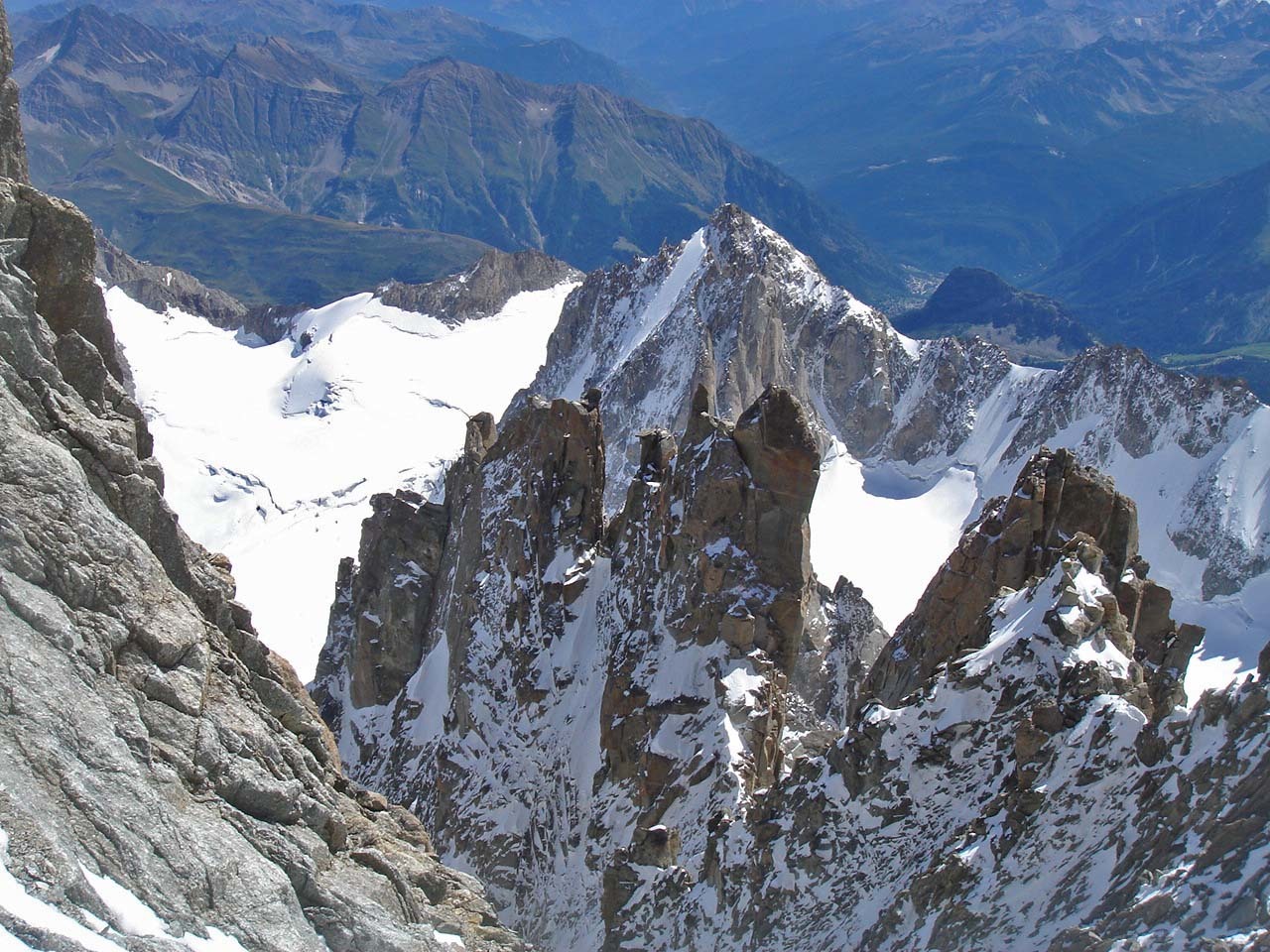
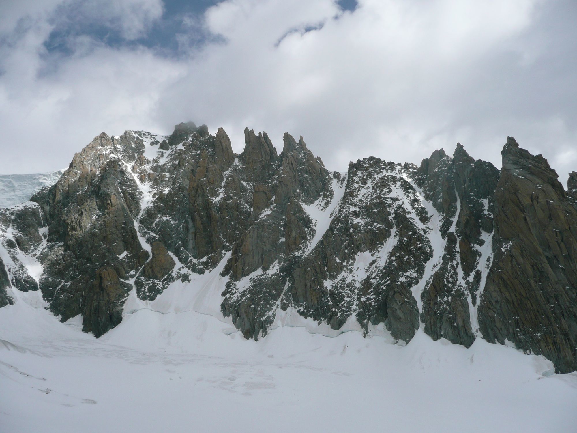
Traverse of the Aiguilles du Diable
- Go around the Corne du Diable on the left to reach the “Chaubert” gap, (Possible to climb the Corne du Diable (3b, 1 abseil)
- Climb the pointe Chaubert by its E ridge, slab (5a). Descend the NW face to the E notch of the “Médiane” gap in 2×30 m abseils and get to the W notch by bypassing a pinnacle to the N.
- Climb the pointe Médiane via a corner of 40m (5b). It is possible to leave the corner to the right after 15m to reach the E ridge.
- Traverse the pointe Médiane and get to the “Carmen” gap by a 30m abseil.
- Climb the pointe Carmen by some cracks (20m/4b, often verglaced), to the right of the E ridge. Go around the first rock horn and climb the second one. Make two abseils, (30m and 25m) to the “Diable” gap.
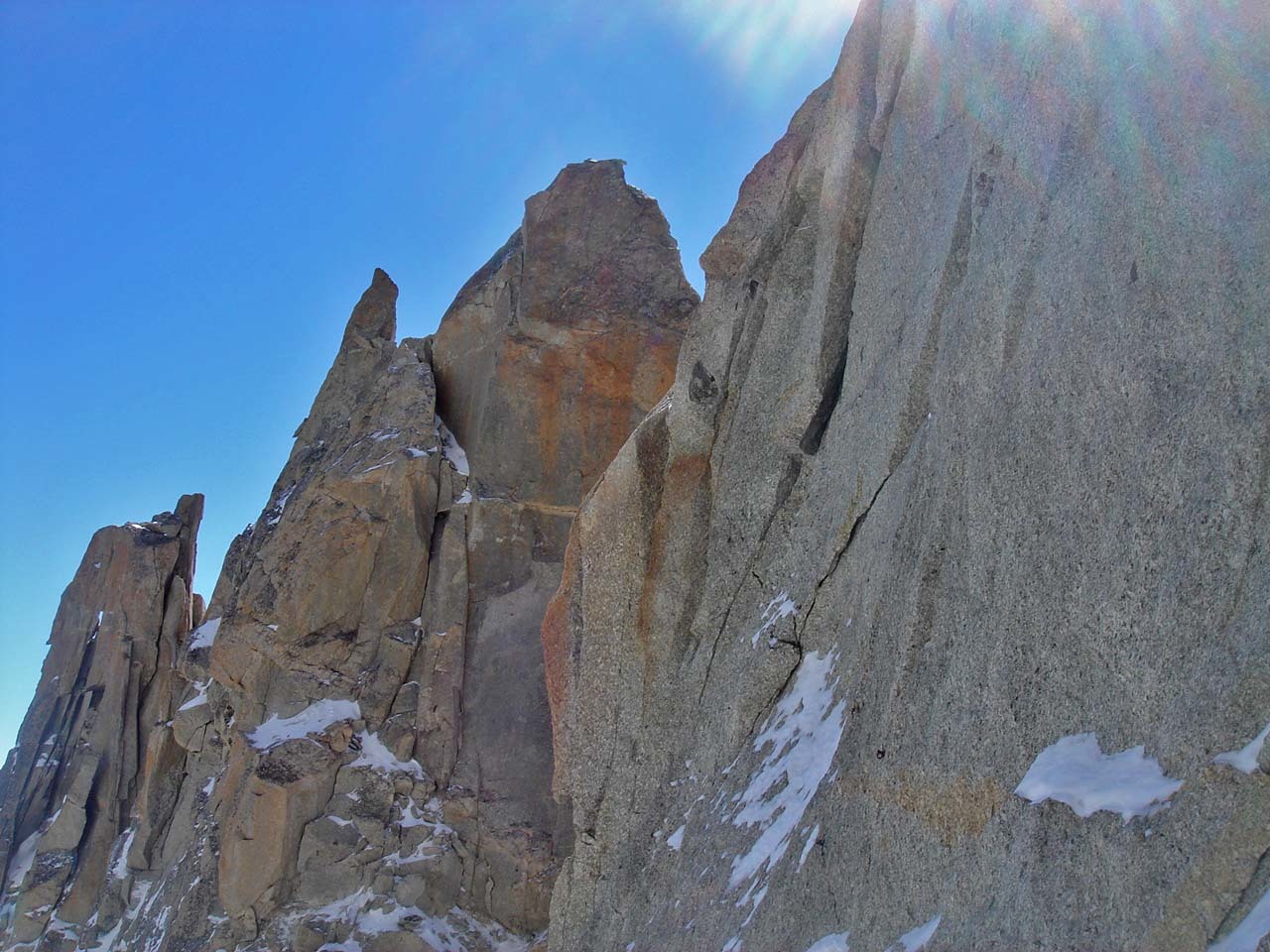
- The ascension of the pointe Isolée is the crux of the traverse but can be avoided. To climb it, first descend several metres down its NE face. Climb up towards an overhanging flake of rock, which you turn on the left (5c) and reach a platform by a short corner. Go to the summit. Descend from the Isolée by one abseil.
- Continue along the crest of the ridge. At a step, climb to the right, then to the left to reach a snow ridge, which leads to the summit.
Descent
By the normal route (N face)

The text and images in this page are available
under a Creative Commons CC-by-sa licence.

Download the Whympr App to view this route in 3D.
- Route search (100 000)
- Community returns
- Weather forecast
- Avalanche bulletin
- Race book
- Creation of tracks
- Topographic map (including IGN)