

Open this route in the app to prepare your next outing.

Details
Approach`
From the parking at Planpincieux to the Boccalatte hut.
Route
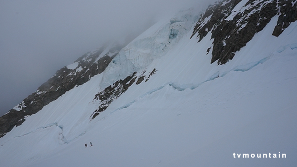
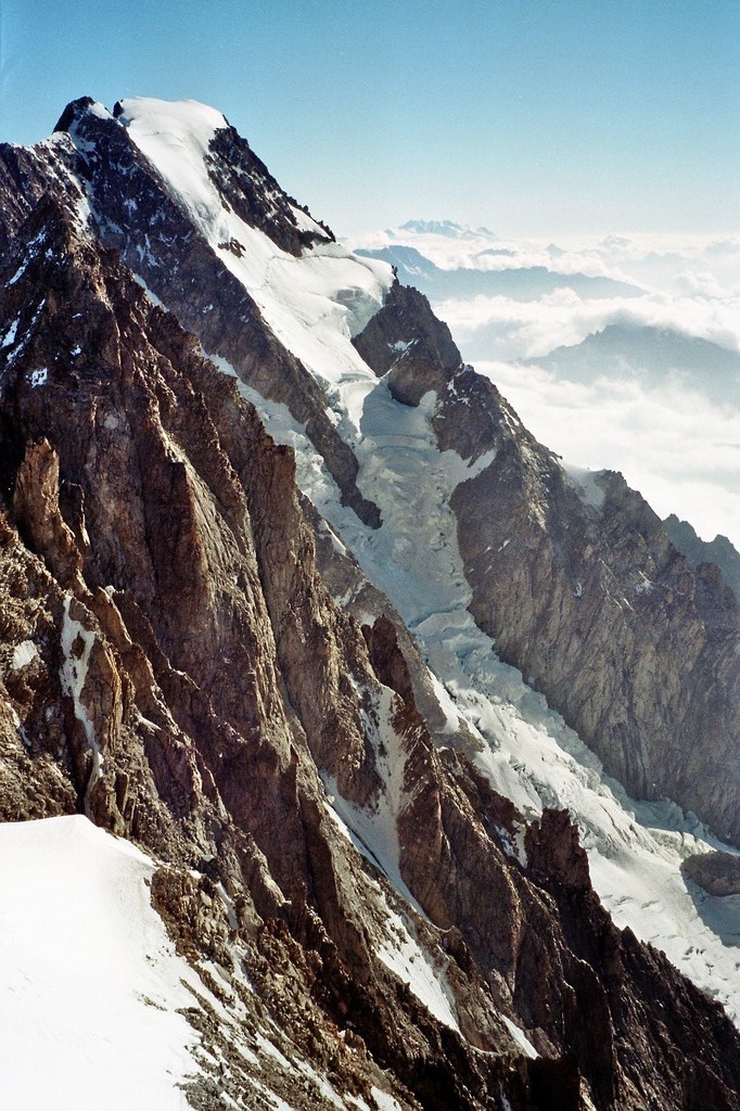
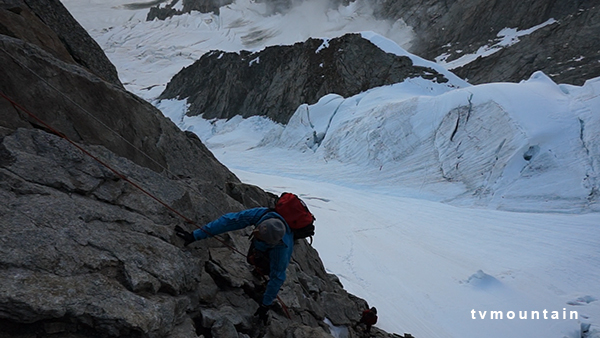
From the Boccalatte hut, go up to the N to reach the Planpincieux glacier. Climb up it, keeping below the Rognon de la Bouteille. After an area of large crevasses, reach the base of the Reposoir spur. Start by a ramp to the right and take the easiest line along the crest, (3b/c.) Cross a broad, steep and exposed couloir, (Whymper couloir, exposed to avalanche/ rock and ice falls,) towards a rocky corner on the ridge which descends from the Pointe Whymper. Climb the corner (3b).
From here, there are 3 possibilities:
- Follow the rocky ridge, (Rochers Whymper,) to the summit of the Pointe Whymper (4184m). Then go to the right to reach the Pointe Walker (4208m).
- Go up the snow couloir (45-50°) to the right of the ridge coming down from the Pointe Whymper.
- (The traditional route) Traverse the glacier plateau under the séracs, (still very unstable since a large collapse in 2001,) then go up the ridge, (mixed,) leading to the Pointe Walker (summit).
Descent
From the Pointe Walker go down the (Walker) ridge (option 3), mixed. Pass under the seracs to reach the Whymper ridge. Descend the corner, (abseil), then follow the way up in reverse to the hut.

The text and images in this page are available
under a Creative Commons CC-by-sa licence.

Download the Whympr App to view this route in 3D.
- Route search (100 000)
- Community returns
- Weather forecast
- Avalanche bulletin
- Race book
- Creation of tracks
- Topographic map (including IGN)