

Open this route in the app to prepare your next outing.

Details
Approach
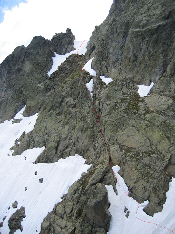
From the top of the Index chairlift go the direction of the col de la Gliere. Traverse by a little path underneath the Index to a niche and descend a steep gully onto a scree slope. Go up another gully, (steep, some scrambling) in the second scree slope until the start of the climb near a boulder at the foot of a corner.
Route
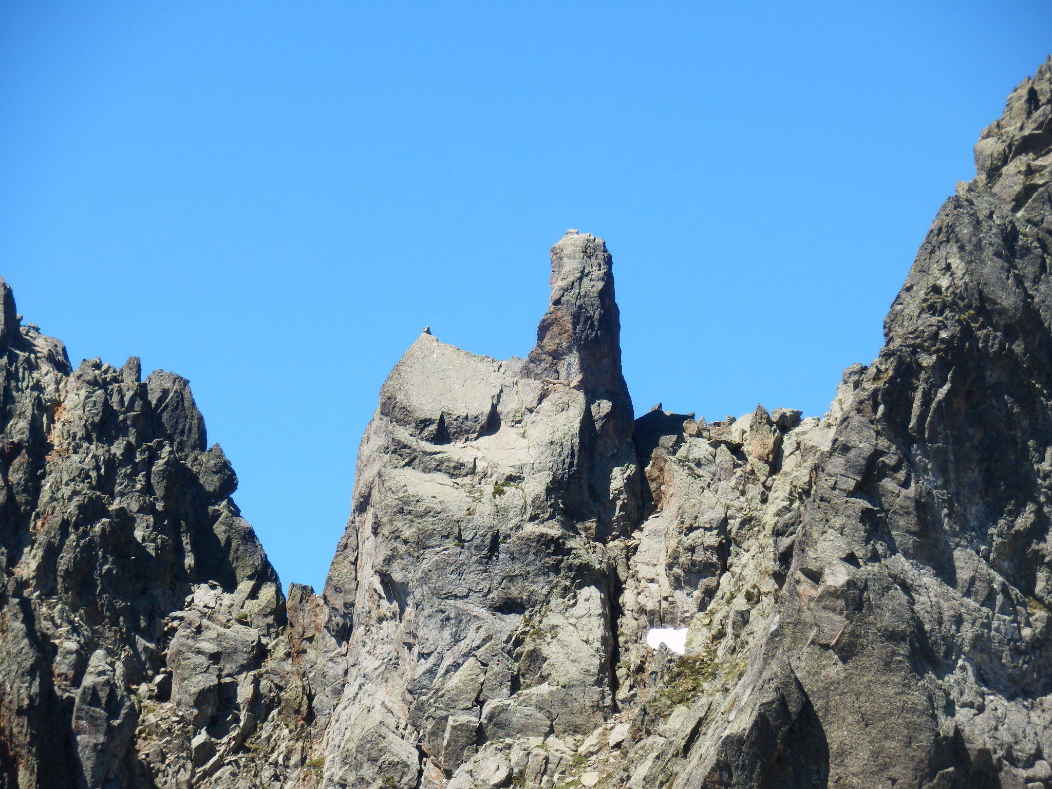
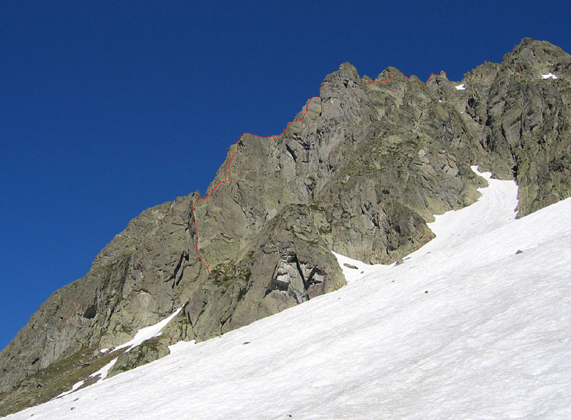
The route is shown on the photo below, also the general situation another photo below. In two pitches climb the initial polished corner (4c) then follow the ridge (3) until the foot of a second corner which is climbed in two pitches of 4c. Walk along the ridge to another buttress and climb it in a short pitch of 4b until the infamous “passage du Rasoir” (knife-edge). Climb it on the left side (3c), then traverse right to gain a good terrace. Walk up to the next corner and climb at the back of it (4b) then follow a chamois track which goes up some little gullies to a niche a the foot of the « Chapelle », (Chapel) Gain the summit of the Chapelle by the East face (4c, 1peg), then descend slightly to the foot of the “Clocher”. (Bell tower) Climb the Clocher by a short pitch mostly to the right (4c, 1 peg). Climbing it directly by the left-hand ridge is steeper, (5c/6a).
Descent
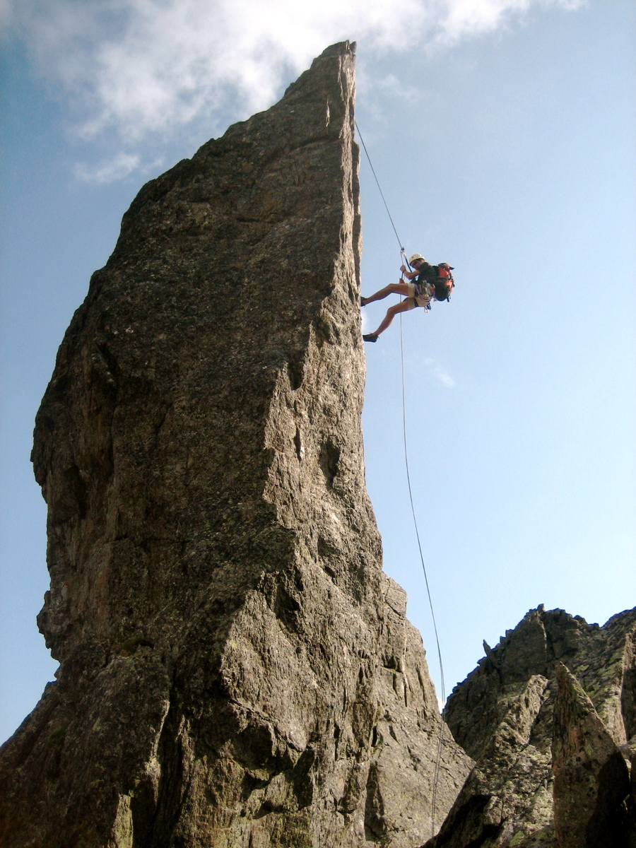
Abseil 20m to the foot of the Clocher then follow a series of faint paths to the col de l’Index. Descend the gully, which leads to a 27m abseil, (just possible with a 50m rope) or down climb at grade 3.

The text and images in this page are available
under a Creative Commons CC-by-sa licence.

Download the Whympr App to view this route in 3D.
- Route search (100 000)
- Community returns
- Weather forecast
- Avalanche bulletin
- Race book
- Creation of tracks
- Topographic map (including IGN)