

Open this route in the app to prepare your next outing.

Details
Approach
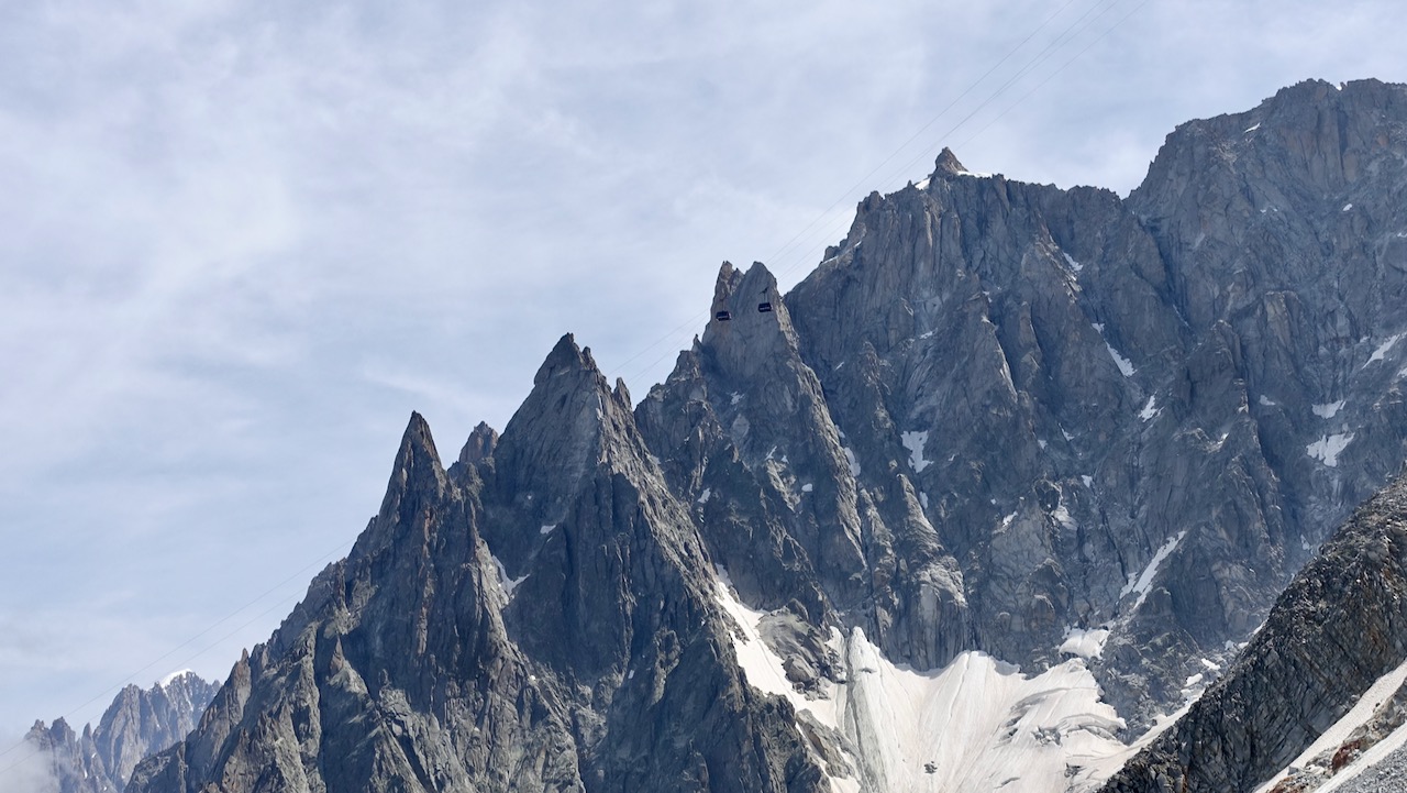
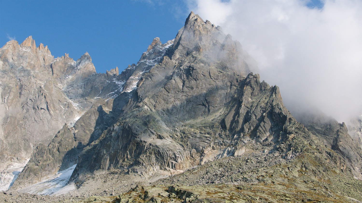
From the cable car station at Plan de l’Aiguille do not follow the path going towards the Pelerins glacier. Instead climb up more to the left by a series of grassy humps, pass the Point 2360m and go towards the ridge. Pass a scree slope, some snowfields, a short descent (2m) and reach the foot of the ridge. The start is from one of the horizontal terraces just below the first N facing buttress.
Route
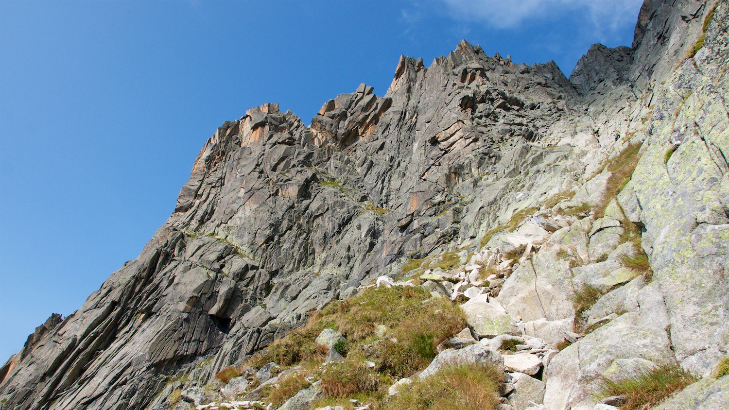
Several starts are possible: - The easiest is to climb the blocks on the left to the ridge on the north side, (3a). - On the south side a corner (4c) gives access to a double crack (3). Follow the ridge to reach a block. - Follow the line of the ridge, more or less.
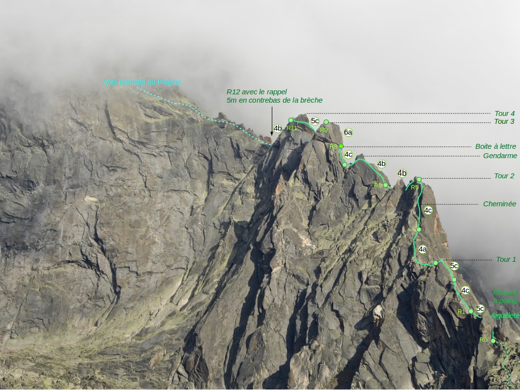
Pass on to the south side, follow some cracks (4b) and gain the foot of a fist jamming crack, (belay on a spike). Jam up the crack (5a, chockstone, 1 rotten sling), then a section “à cheval” (3a, airy) and return to the S side. Go back to the crest of the ridge, climb up it and belay to a good spike below a notch at the foot of steep buttress just to the left of the crest of the ridge. From the notch climb steeply for 2m.(5c+ or A0, 1 peg, with a rope sling,) follow the line of the ridge slightly to the left by a series of cracks. (4c, 1 jammed friend). Exit onto the summit of the 1st tower. Climb down a short distance to some grassy slopes.
Start the 2nd tower from the right, go straight up then traverse to the left. Reach the summit of the 2nd tower by climbing on the N side of the ridge (3a - 4c). Lots of possibilities, some harder than others. Make a slightly descending traverse, pass a first niche and reach a second niche at the foot of the 3rd tower.
Start the 3rd tower by a cracked slab obliquely to the left (4c). Follow the N side of the ridge by some ramps (4b), bypass a needle on the N side and reach a niche. Stay on the N side and climb to the left of the crest, (do not go too far left to the overhang,) some cracked slabs (15m, 4a) to reach a jammed boulder and a letter box, (good belay.) Leave by a steep, strenuous wall on the right, (5b or 4b/A0): straight up (1m, 2 pegs), traverse (1m, 1 peg), then straight up again (2 pegs). Do not continue straight up the chimney corner, instead pass a rib to the right and climb some flakes (4c) to reach a comfortable terrace at the summit of the 3rd tower (2 bolts.) Descend a few metres, cross a gully and gain a niche at the foot of the 4th tower.
Tackle the 4th tower on the N side. Climb a slab with a thin crack (5a, 1 peg, 8 m). Traverse using a narrow ledge, pass some large flakes to gain the summit of the 4th tower (2819m). Descend slightly and traverse until a niche, (rotten sling) gives access to a ledge opposite on the S side. – These ledges are above the Papillons gully used by the Normal route and allow for a quick escape (1 belay on bolts). Do not take the S side but climb the N side (4a) to reach the level part of the ridge.
To go to the summit: Go straight up the ledges of the “voie normale”. Be very careful not to dislodge any stones onto people climbing the “Dalles NW du Peigne” just below on the N side.
Descent
Abseil 25m to the S side gully of the “voie normale” (rope slings). Descend the gully. Go to the left, descend the glaciated slabs (2 abseils possible, the 2nd is on the right). Continue down the true right bank (easy), then come back to the left and descend until a large cairn marking a ledge to the left. Follow the ledge and reach the Peigne snow slopes.

The text and images in this page are available
under a Creative Commons CC-by-sa licence.

Download the Whympr App to view this route in 3D.
- Route search (100 000)
- Community returns
- Weather forecast
- Avalanche bulletin
- Race book
- Creation of tracks
- Topographic map (including IGN)