

Open this route in the app to prepare your next outing.


Details
Approach
From the Mont Chalets (~1200m) above Abondance, follow a good path towards the Col de la Plagne du Mont to the NW. As marked on the map there at least two paths, Either through the forest at the extreme W of the chalets.
Or go along the escarpment of the S face of the ridges, (leave the chalets to the E then quickly follow a hairpin back to the W.)
Route
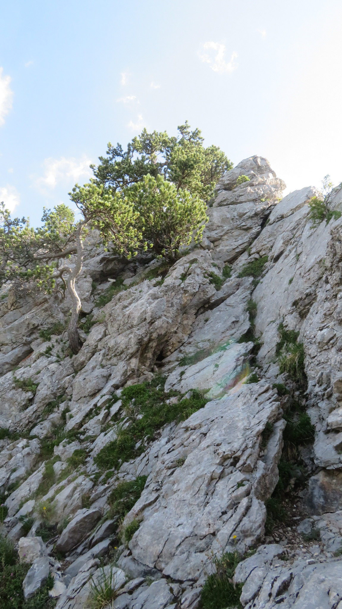
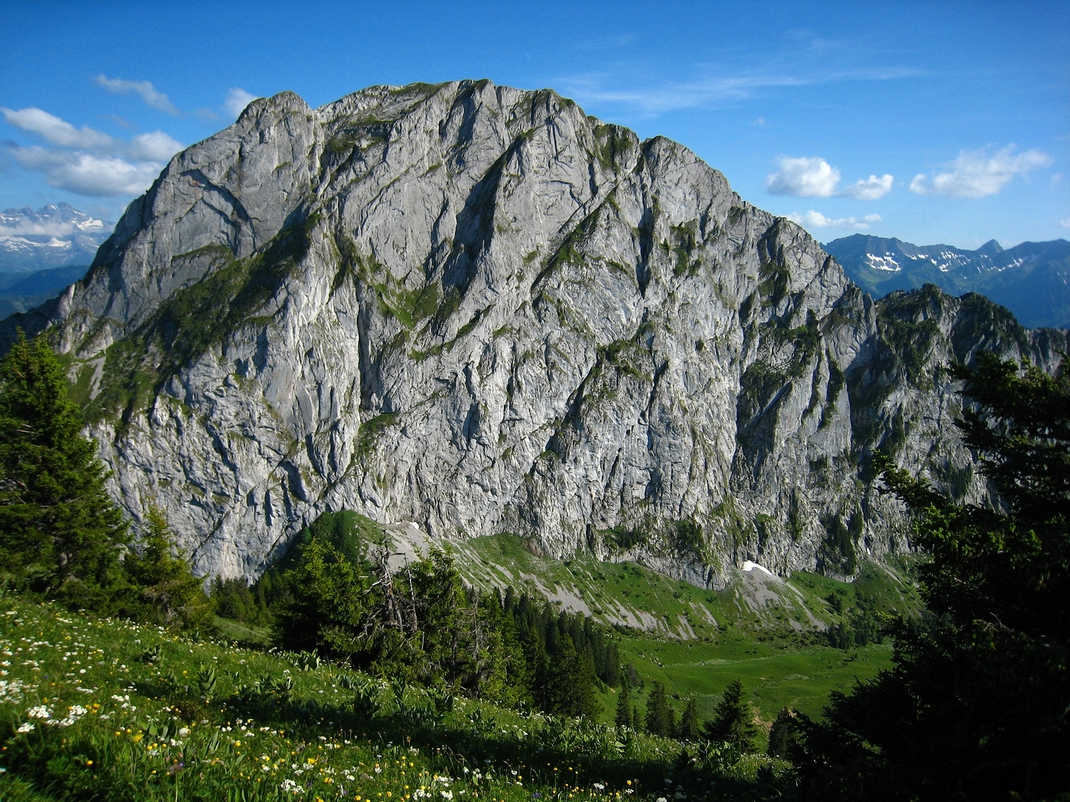
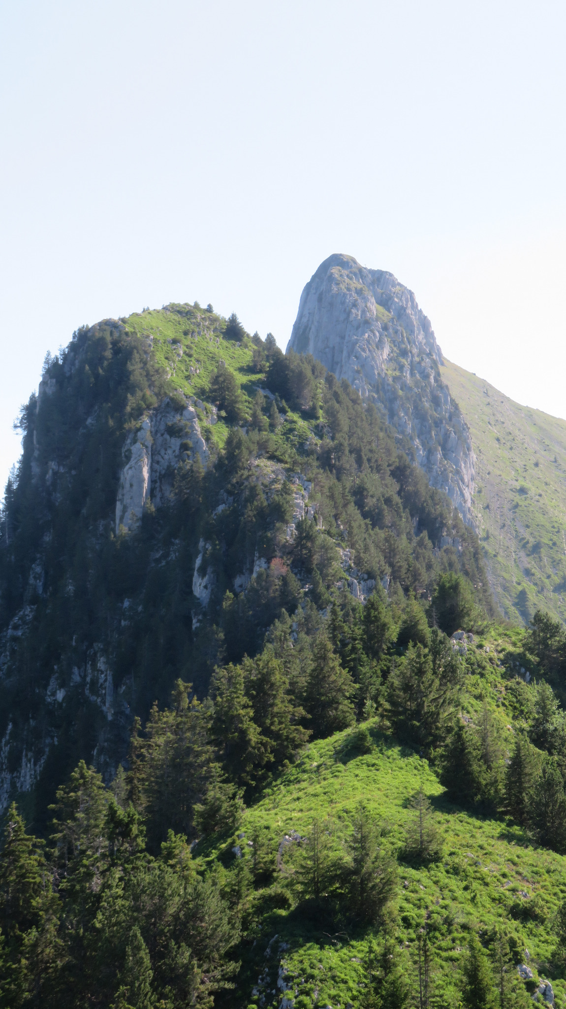
From the col, follow the path to the E leaving it on a fainter path to continue upwards along the ridge, which initially is very rounded and with lots of trees. (Petit Chauffé.) Follow the ridge by a path, fairly level and grassy at first. The rock starts some 50m before the Pas du Chien (a section more exposed and technical). To cross the Saut du Chien, go as far along the ridge as possible to find a cable. Either abseil from a tree or by going down on the N side to a little path with a cable attached with several good bolts. (This last option is the one recommended.) Once the gap is reached, climb the rock step opposite on the S face, (a broad, high wall, but not to steep and easy to protect, (3b). Follow the ridge, exposed but scrambling rather than rock climbing, with the odd very short sections of 3b, (roped up, moving together.) At the third gap after the Saut du Chien, there is a short, technical section with a peg in place 3m above the start. Follow the grassy ridge to the summit.
Descent
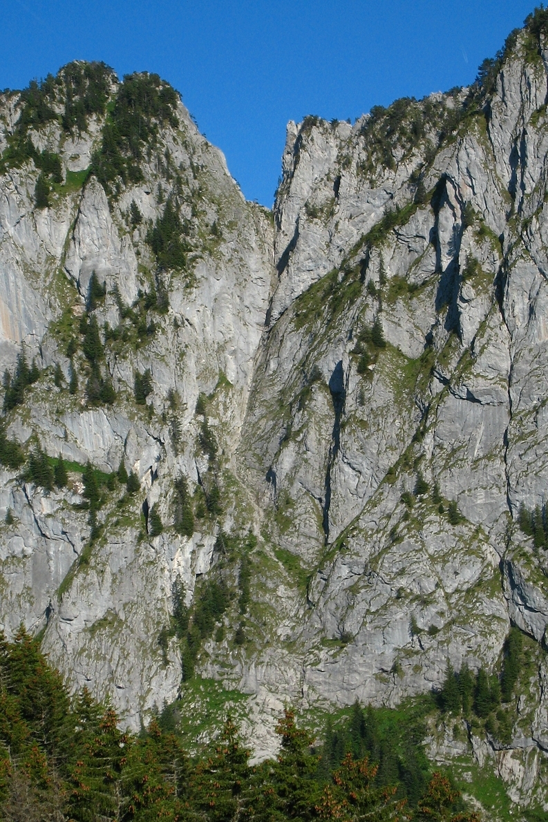
By the normal route which goes down the screes of the Couloir du Ferraillon. At the foot of the screes cross the first track and follow the second track to the right to the chalet de la Raille.

The text and images in this page are available
under a Creative Commons CC-by-sa licence.

Download the Whympr App to view this route in 3D.
- Route search (100 000)
- Community returns
- Weather forecast
- Avalanche bulletin
- Race book
- Creation of tracks
- Topographic map (including IGN)