

Open this route in the app to prepare your next outing.

Details
Approach
From Saas Grund go up to the Weissmies hut: a pleasant path which allows for a quick gain in altitude.
Route
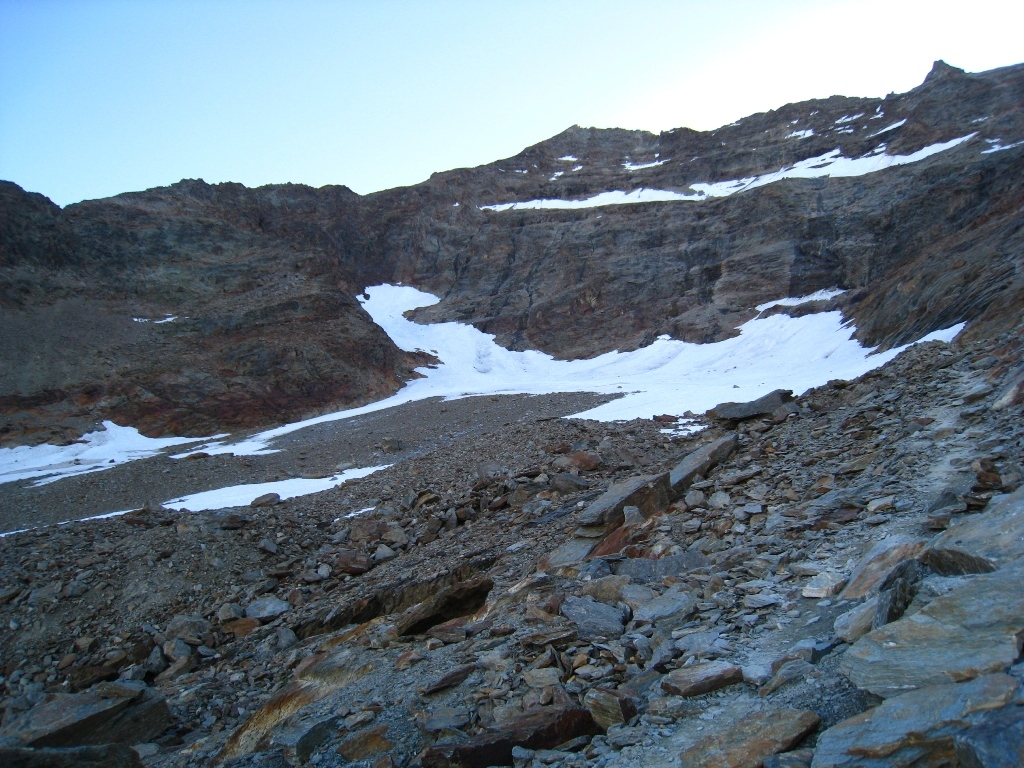
From the hut take the path above the hut to reach a level 4×4 track. Follow this to the until near a stream. Leave the track for a path on the right which crosses a little valley, (cairns,) to reach a path on the left which goes up the moraine leading to the foot of the Lagginhorn glacier, in line with the WSW ridge of the Lagginhorn.
From Hohsaas hut (3140m,) descend the track which passes under the telecabins and then the ski piste for about 50m. Contour until the S foot of the WSW ridge of the Lagginhorn. Go up the slabs equipped with cables and steps, following the cairns to reach the path from the Weissmies hut on the crest of the moraine at about 3150m.
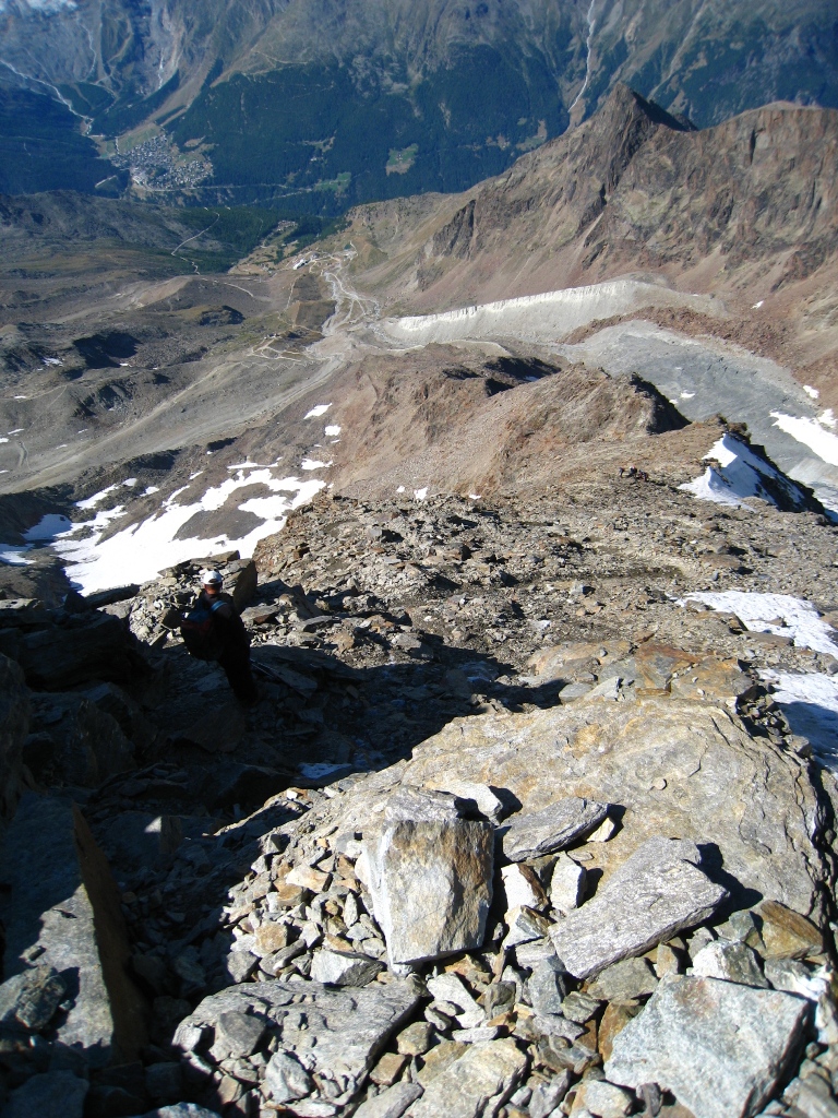
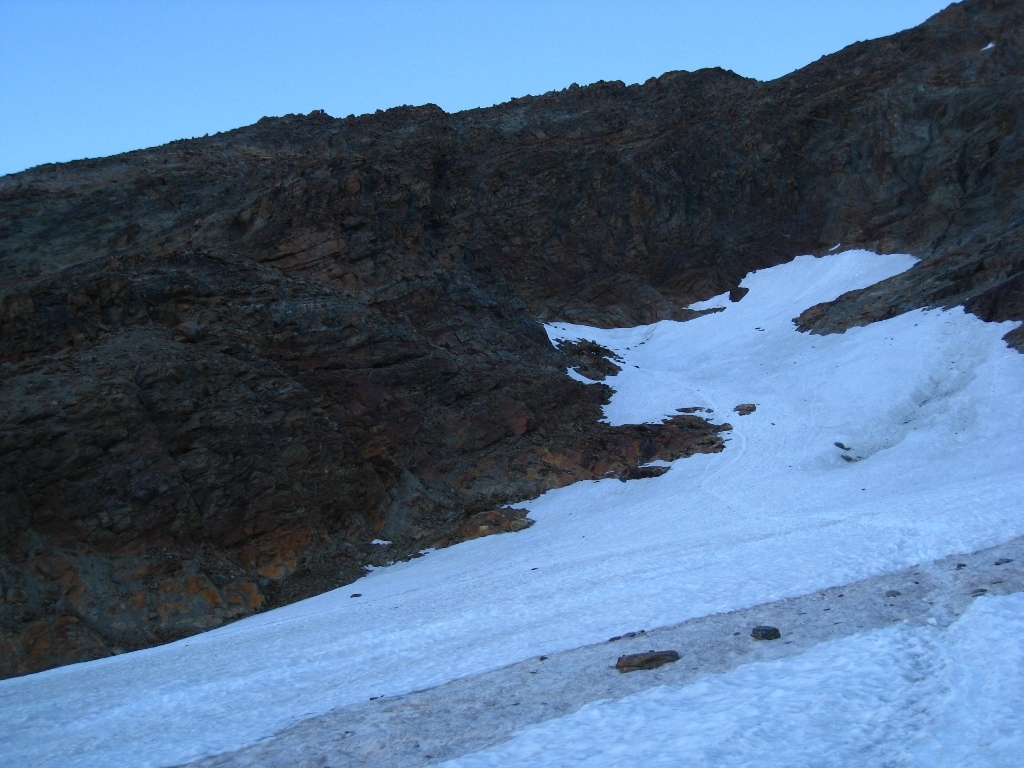
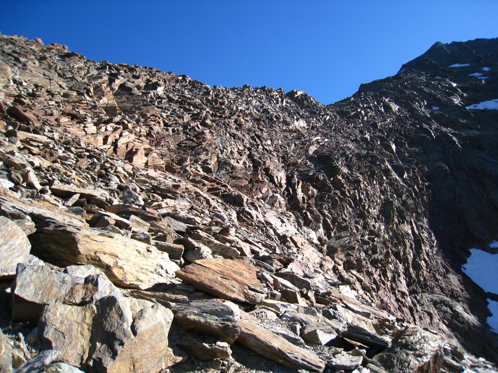
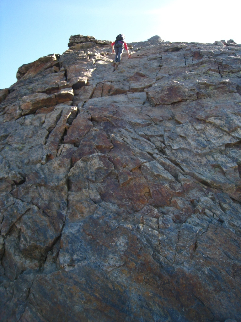
Once on the Lagginhorn glacier, go diagonally to the left (NNE) towards the N glacier bowl then across a boulder field, (might be snow covered.) From here, gain the WSW ridge at about 3450m (cairns and red marks). Follw the crest on its S side, (some steps of II, including an easy angled, cracked slab,) to reach where the ridge broadens at about 3650m. Go up a series of boulder fields and snow slopes to the summit.
Variant : WSW Ridge intégrale This route avoids going on a glacier. From the Weissmies hut, follow the normal route to a flat area,(shortly after a cairn on the normal route,) and ford the torrent. Just after the torrent an obvious path goes up the moraine towards the Fletschorn. At about 2950 m, go upwards to the right and by climbing over the large boulders, always going diagonally rightwards, you soon reach a faint path with cairns. Follow this until it rejoins the normal route above the glacier, at about 3400m.
Descent
By the same route. It is also possible to follow the WSW ridge until it joins the path going towards the Fletschhorn.

The text and images in this page are available
under a Creative Commons CC-by-sa licence.

Download the Whympr App to view this route in 3D.
- Route search (100 000)
- Community returns
- Weather forecast
- Avalanche bulletin
- Race book
- Creation of tracks
- Topographic map (including IGN)