

Open this route in the app to prepare your next outing.

Details
Approach # 3h from Hannig
From Saas Fee take the cable car to Hannig at 2320m. Follow the traverse path to the foot of the ridge leading up to the hut. Go up the cables and ladders.
Route
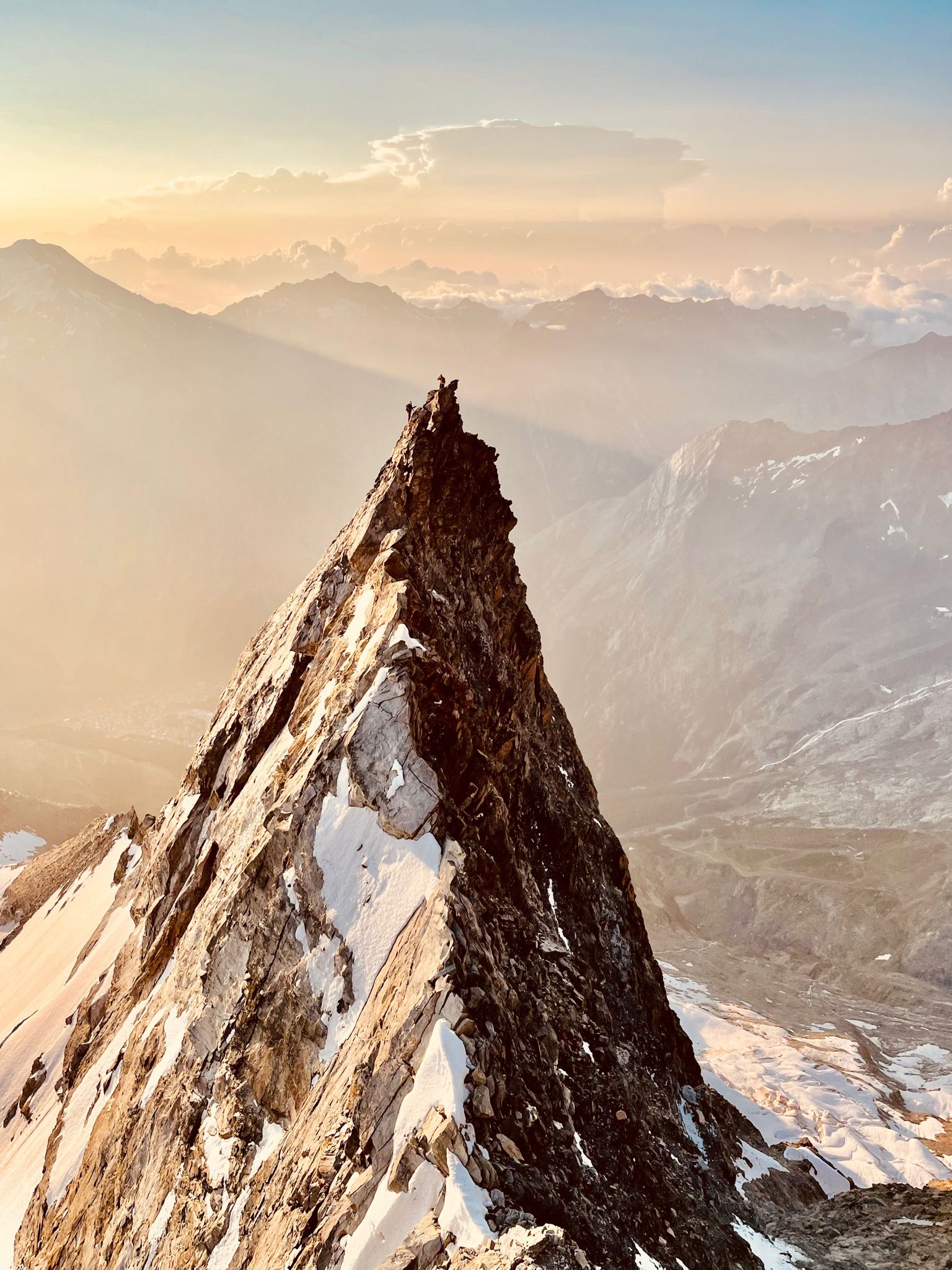
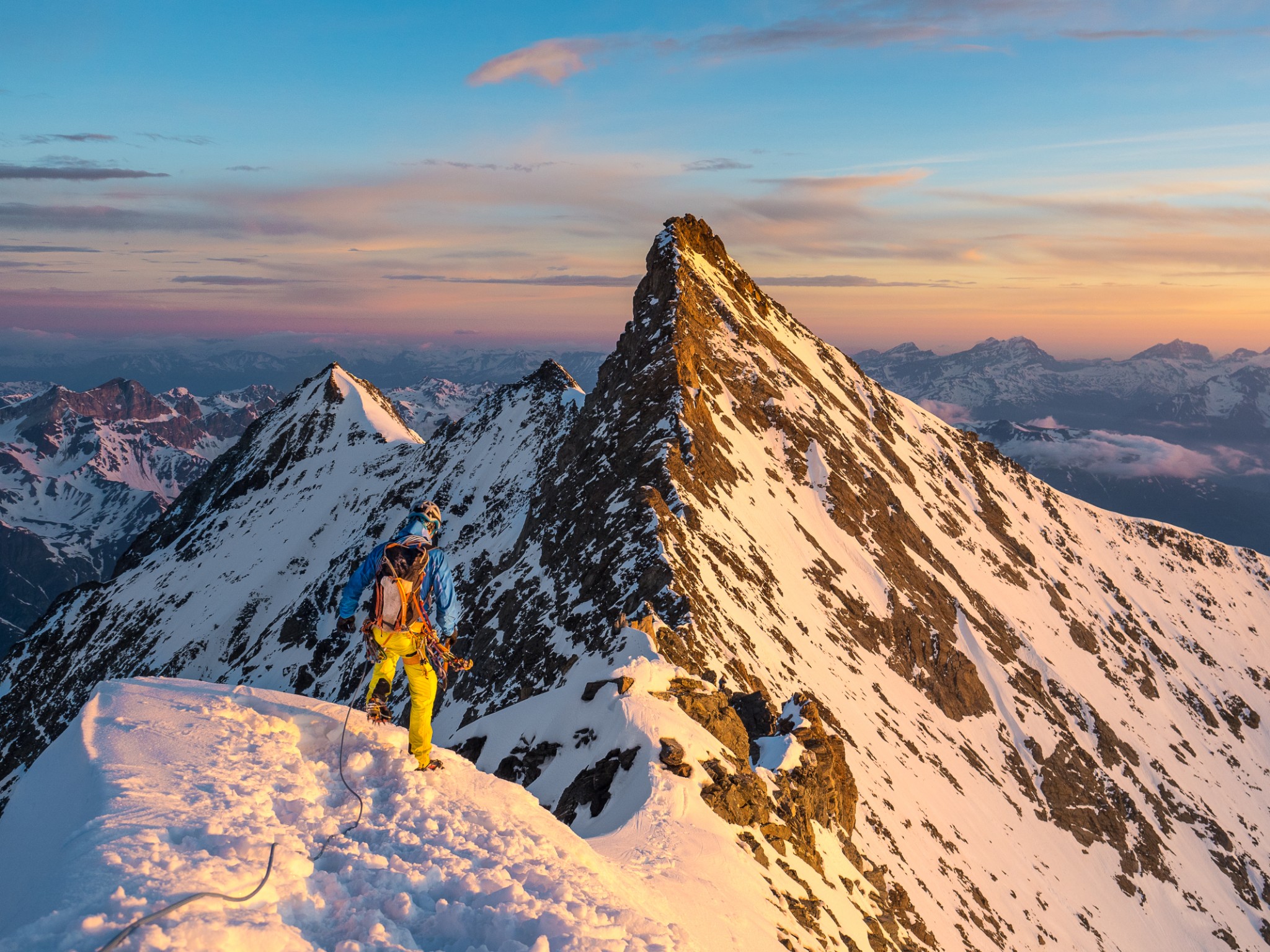
Climb the rocky ridge above the hut then go onto the glacier, keeping the ridge to your left. Start climbing the ridge at about 3600m, firstly on snow then rocks, which steepen after Pte 3815m, (best to have daylight at this stage.) Keep mostly to the crest until a large pinnacle, (several sections of 3c/4a with some pegs/bolts and with a 4m abseil between two notches.) From the top of the pinnacle a 10m abseil brings you to the gap below. Keep to the crest, avoiding going onto the S face.
The buttress above goes at D by a vague, sloping corner clearly visible from below, (do not take the ledge on the left.) This brings you to a 40º, narrow ridge at about 4200m, leading to some easy rocks just before the actual summit. Climb down the ridge linking the Lenzpitze to the Nadelhorn (mixed. There are many pinnacles to bypass, but mostly you keep to the crest until the lowest point of the ridge. (normally, it is best to keep the crampons on.) The climb up to the Nadelhorn (4327m) is entirely on rock. All the pinnacles can climbed (3c max) on good rock, descending them either by abseil or down-climbing.
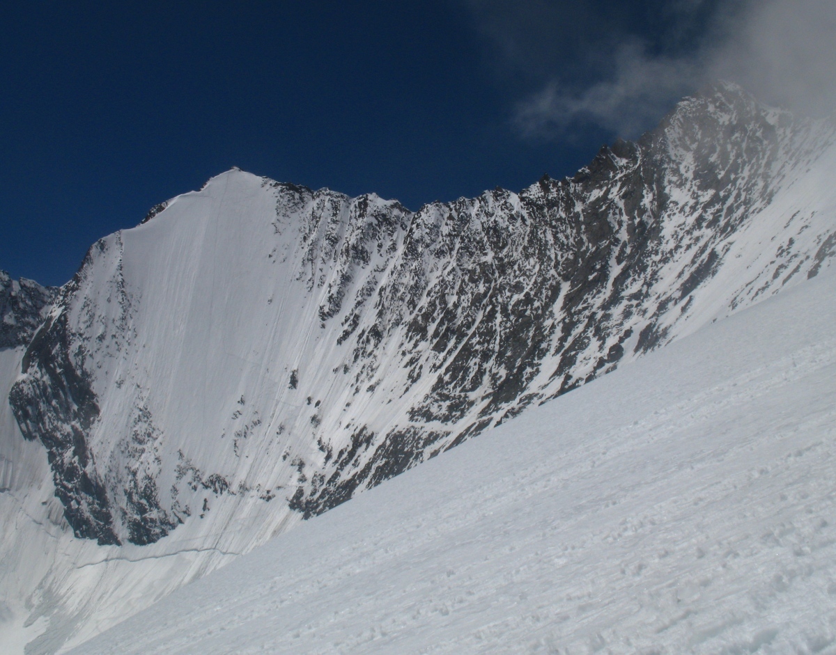
Option: Instead of climbing the NE ridge, there is the classic NE face of the Lenzspitze, (ice climbing 500m at 50º)
Descent
The descent is down the NE ridge, (normal route.) A rocky ridge then snow leading to the Windjoch (3850m). From there, descend the snow slopes to about 3500m and cross the glacier to join the approach path above the hut.

The text and images in this page are available
under a Creative Commons CC-by-sa licence.

Download the Whympr App to view this route in 3D.
- Route search (100 000)
- Community returns
- Weather forecast
- Avalanche bulletin
- Race book
- Creation of tracks
- Topographic map (including IGN)