

Open this route in the app to prepare your next outing.
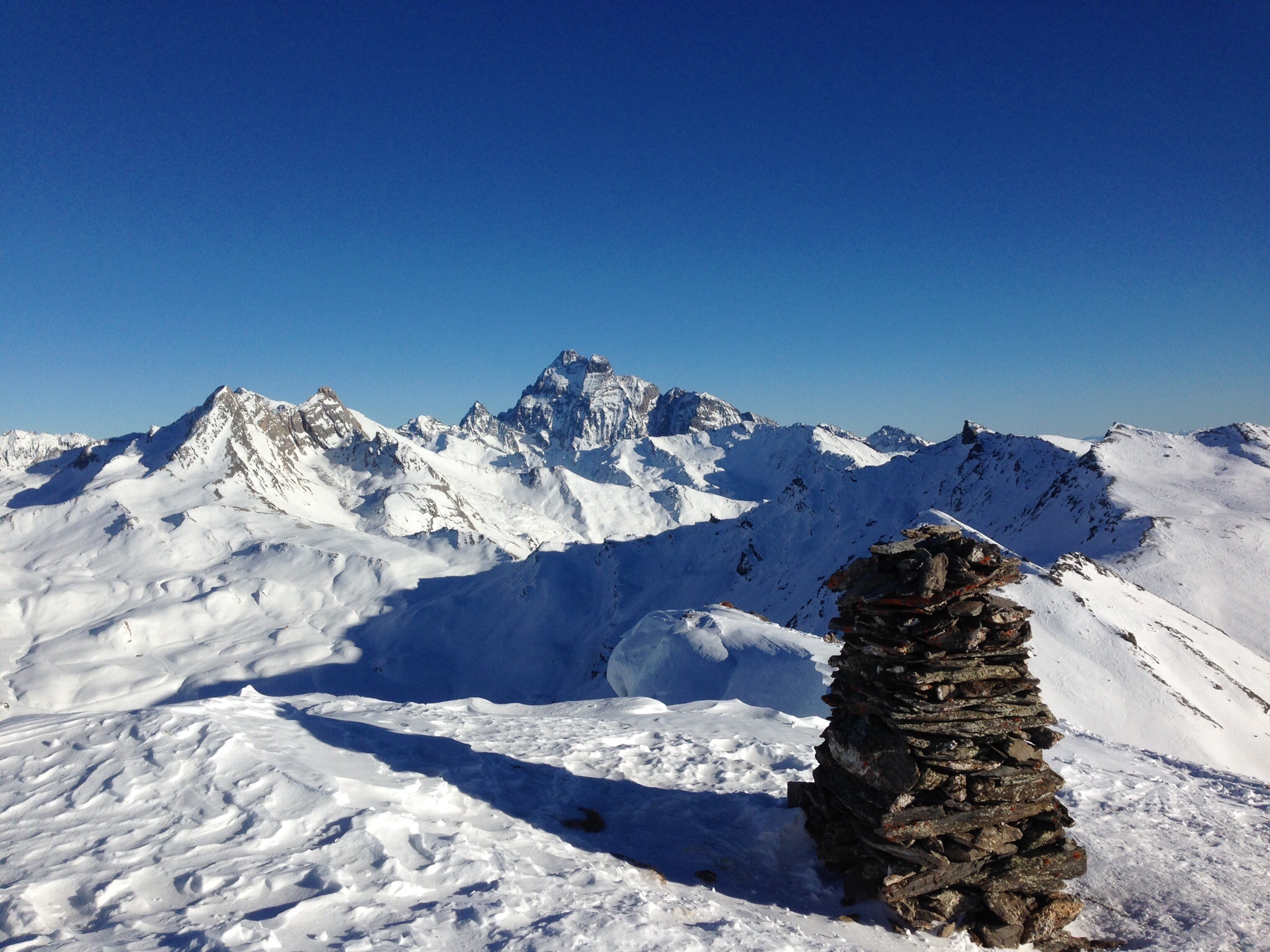
Min / max altitude2024m / 2701m
Duration1 day
Main facingNW
Route typeReturn the same way
Source
Details
Course très facile bien adaptée pour des débutants avec la possibilité de continuer au Pic de Château Renard ou au Pic Traversier
Montée
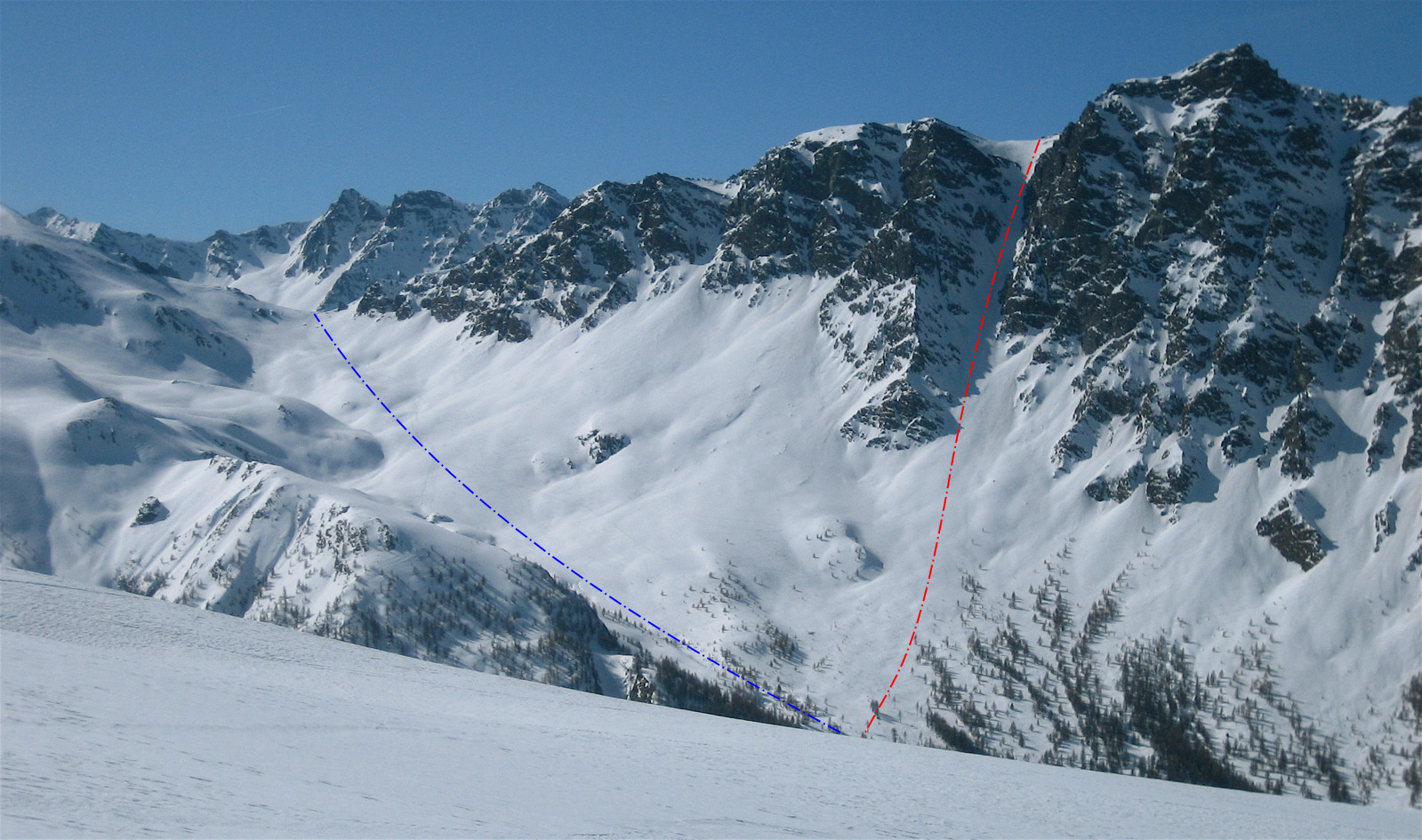
Du parking du pont de Lariane traverser le pont puis s’engager dans le vallon de Longet très large qui s’ouvre direction SE. Remonter ce vallon en évitant d’aller trop sous les pentes du pic de Château Renard où débouchent plusieurs couloirs d’avalanches. L’accès au col est sans difficulté.
Descente
Par le même itinéraire

The text and images in this page are available
under a Creative Commons CC-by-sa licence.

Download the Whympr App to view this route in 3D.
- Route search (100 000)
- Community returns
- Weather forecast
- Avalanche bulletin
- Race book
- Creation of tracks
- Topographic map (including IGN)