

Open this route in the app to prepare your next outing.
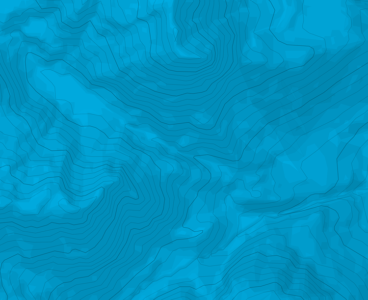
Min / max altitude900m / 1317m
Main facingS
Source
Details
Dal parcheggio dell’Alpe del Vicerè seguire le indicazione per il Rifugio Bolettone, imboccando la mulattiera. Percorrere la mulattiera stessa fino alla fine, ove è situato il Rifugio Bolettone, posto pochi metri sotto la croce di vetta.

The text and images in this page are available
under a Creative Commons CC-by-sa licence.

Download the Whympr App to view this route in 3D.
- Route search (100 000)
- Community returns
- Weather forecast
- Avalanche bulletin
- Race book
- Creation of tracks
- Topographic map (including IGN)