

Open this route in the app to prepare your next outing.
Min / max altitude1200m / 1669m
Duration1 hour 53 minutes
Main facingE
Route typeReturn the same way
Source
Details
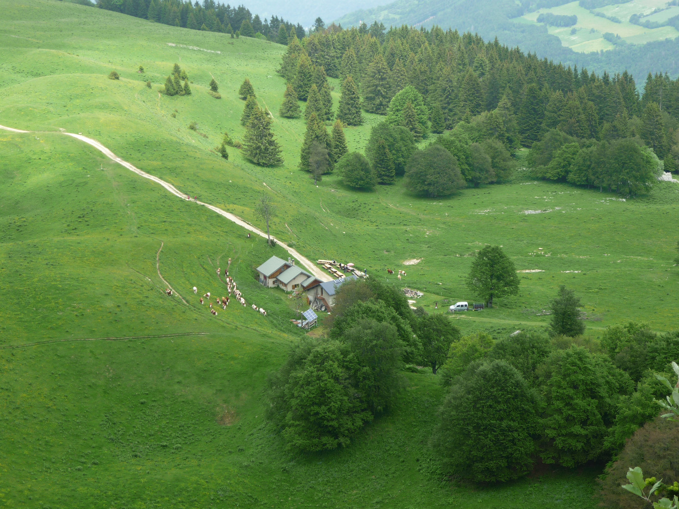
Des Aigaux, remonter à travers champs pour rejoindre une route forestière qui contourne le mamelon boisé du Coin par le N. Depuis le petit col (grande clairière) couper dans la forêt droit au-dessus en utilisant des chemins plus ou moins visibles. Atteindre la crête après une dernière pente un peu plus raide.

The text and images in this page are available
under a Creative Commons CC-by-sa licence.

Download the Whympr App to view this route in 3D.
- Route search (100 000)
- Community returns
- Weather forecast
- Avalanche bulletin
- Race book
- Creation of tracks
- Topographic map (including IGN)