

Open this route in the app to prepare your next outing.

Details
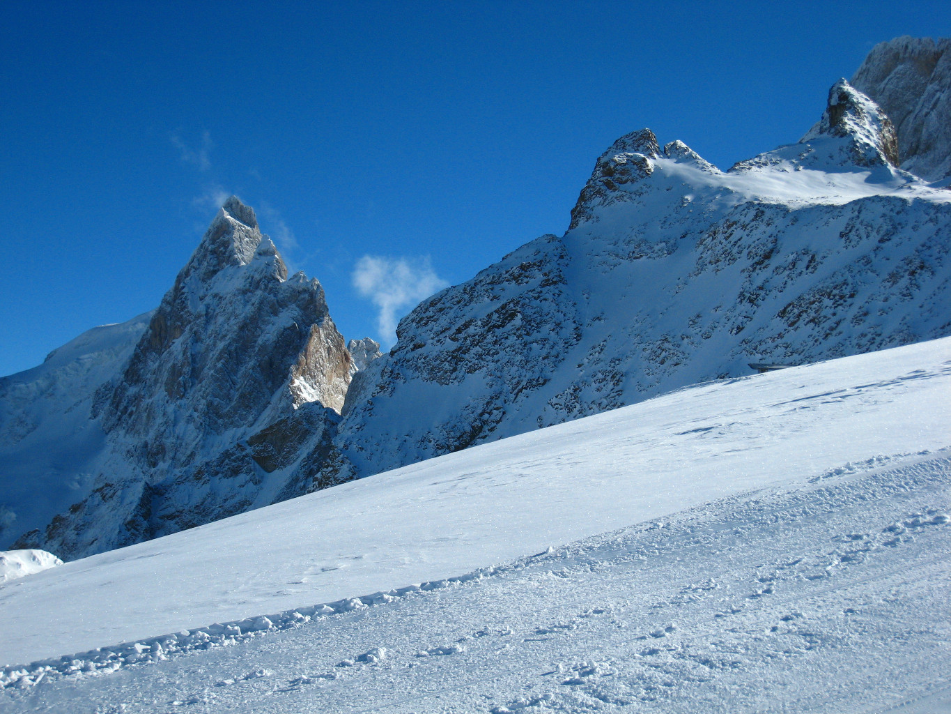
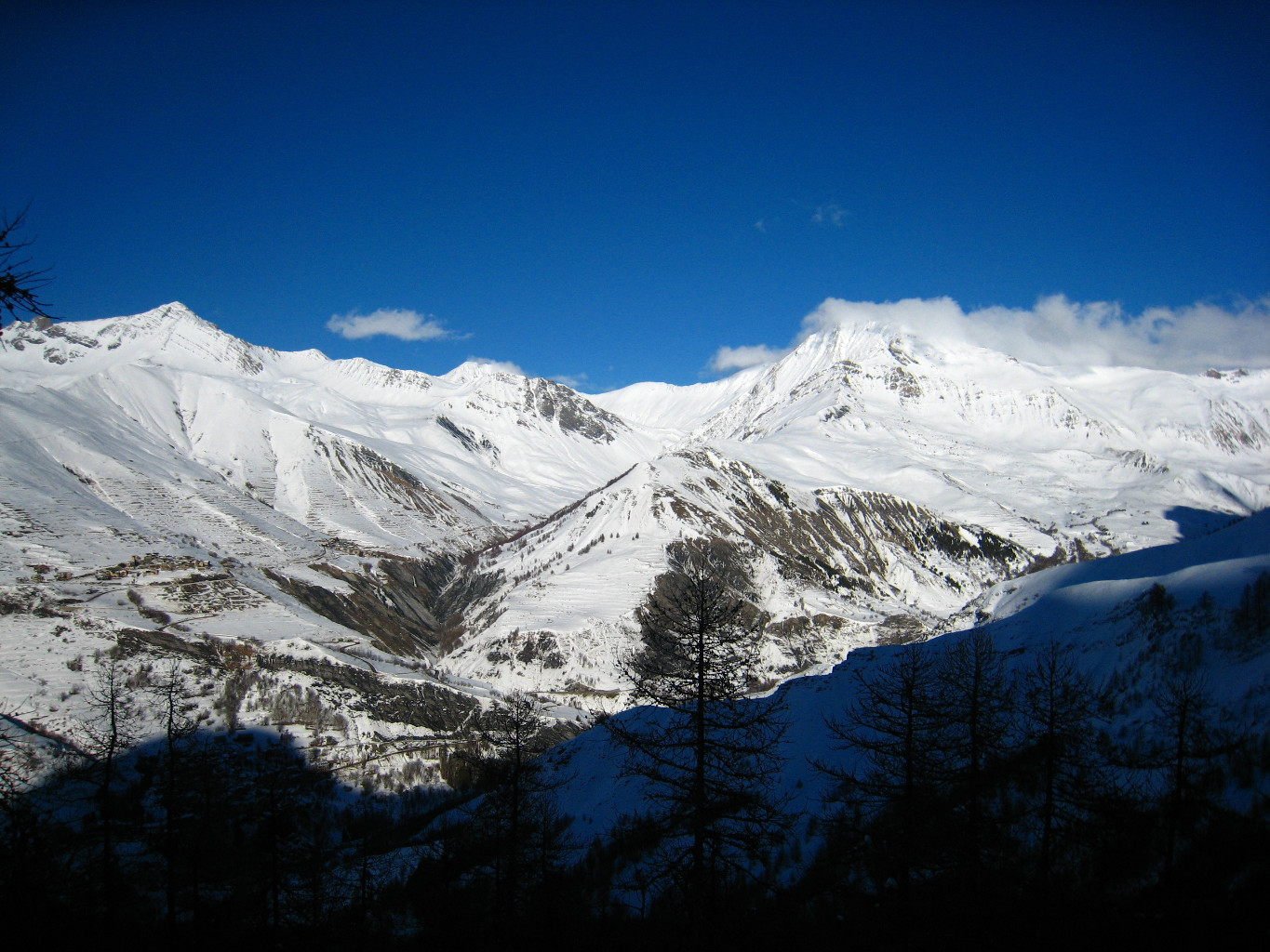
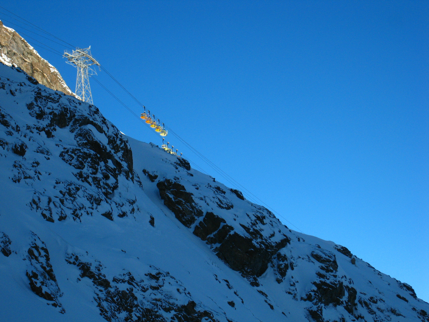
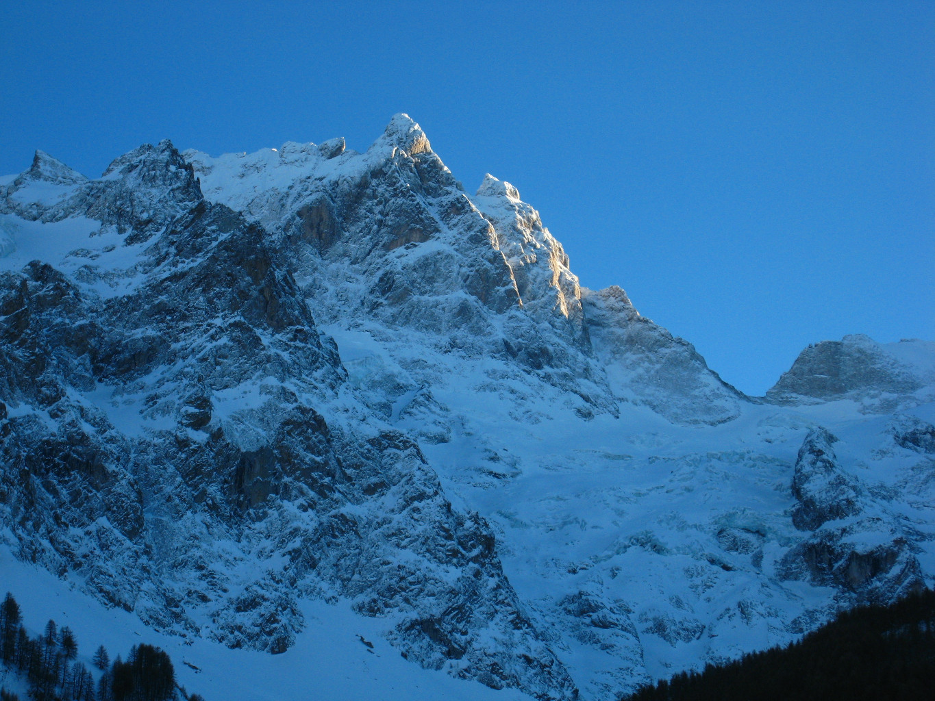
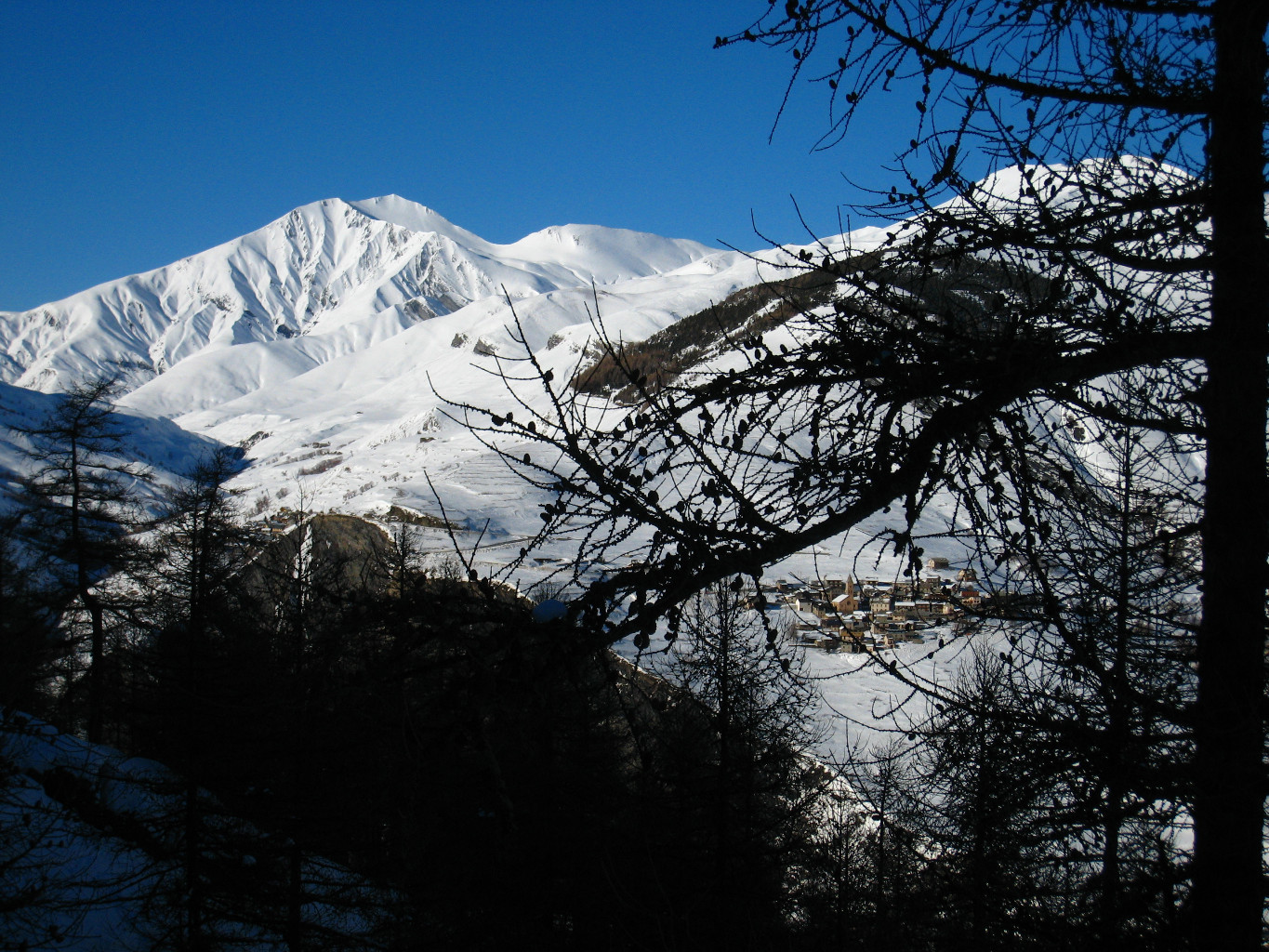
This intermediate sector is interesting to do when the weather is bad (wind, visibility…). There are three different routes: Under the cables (“les Pylones”), the Combes du Berger on the northwest side, Les Clairières on the northeast side. Without reaching the “steep slope”, it should be noted that near the cables, the wooded lower part has an unrelenting slope. This is where you can have fun in deep snow on bad weather days…
- Les Clairières. First of all follow the cables of the tram completely to the north then go diagonally to the right (northeast) via beautiful sunny slopes (2250m). In the forest, small rock bars will force you to seek the best sequence until you reach the return trail to P1 from the Vallons de la Meije (1950 m approximately). - Les Pylones. Steep route, risk of slipping on the hard snow. You reach the arrival of the return trail of Chancel (1900m) and from there classically until P1 via the clearings to the east of the cables. - Les Combes du Berger. First descend under the cables until the first trees. Then traverse to the west to descend pleasant scoops (be careful of boulders barely covered with snow) until the return traverse of Chancel (1975 m).
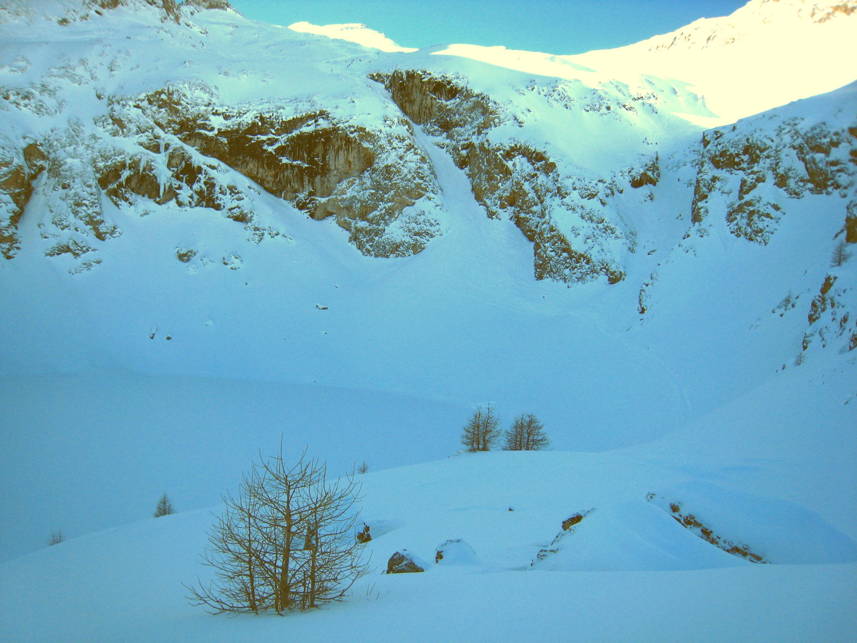
Variant: Couloir de Cote Fine (35° for 200m, 40° at the start, northern exposure, little run-out). - From the intermediate station, go up around 150 m to the southwest until a quite visible relay station (in good weather…). From the station, descend the north face on the right until the forest where the Chancel return is located. Be careful of the snow conditions (accumulations) and the risk of slipping on hard snow.
Northwest to north-east depending on the selected route.
Access: La Grave via RN 91 (Grenoble -Briançon).
Accommodation: Numerous gîtes and hotels in La Grave and the surrounding villages and hamlets. If bad weather persists, try skiing under the larches in Monétier (Serre-Chevalier). Do not forget chains for Col du Lautaret…

The text and images in this page are available
under a Creative Commons CC-by-sa licence.

Download the Whympr App to view this route in 3D.
- Route search (100 000)
- Community returns
- Weather forecast
- Avalanche bulletin
- Race book
- Creation of tracks
- Topographic map (including IGN)