

Open this route in the app to prepare your next outing.
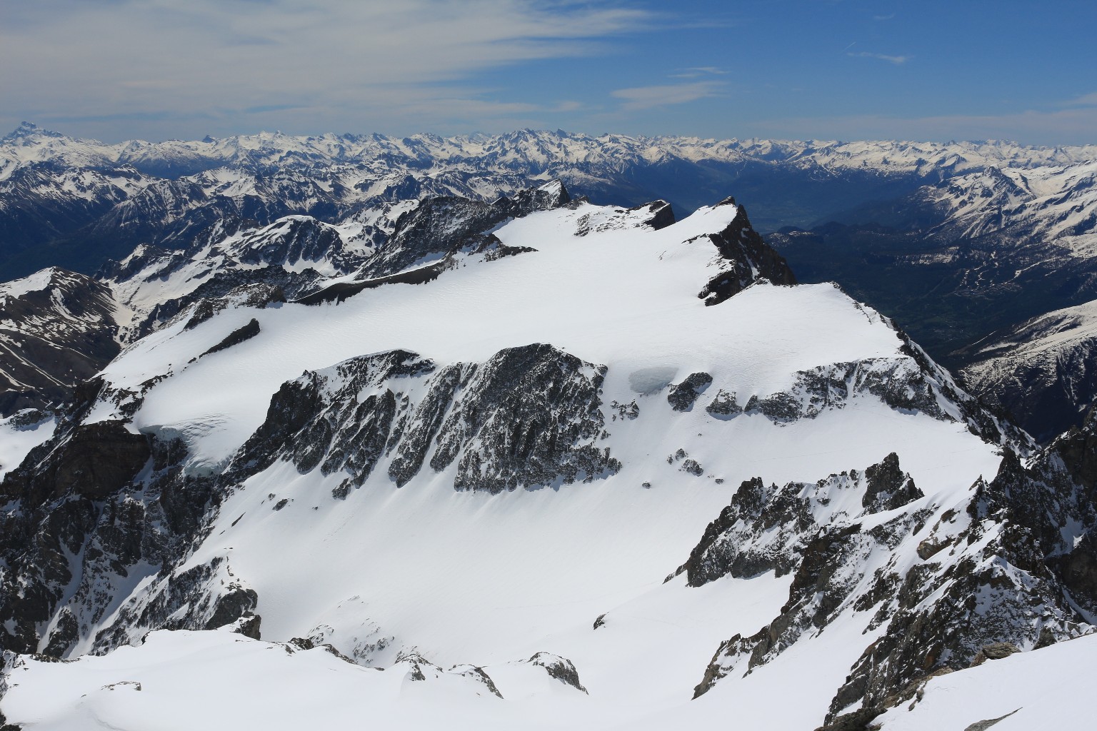
Dome de Monetier traverse from Glacier Blanc refuge to Chalets de Chambran

Details
Day 1: If the road is not open until Pré de Madame Carle, start by following it cutting across some bends until the meadow. Go past Cézanne refuge (1874 m), following the summer trail and go up the southern slope on the right bank of the torrent of Glacier Blanc, primarily along the path of the summer trail. This slope dries quickly during the season, while the meadow may still be covered with much snow. Above the point 2163 a rock band cuts across the slope. Cross it via the trail if it is visible, if not slightly more to the east, be careful the slope is steep and exposed
By ascending traverses you then reach the broad flat area at the foot of the final arm of Glacier Blanc. This entire first part is exposed to avalanches due to strong snow cover.
Pass to the left bank of the dale and climb in the direction of Glacier Blanc refuge which is visible. Go back up the dale to near rock barriers dominated by the glacier seracs, and climb in a steep corridor to the NE emerging to the west of the refuge, it is sometimes more comfortable to climb on foot. (It takes 2 hours from the Cézanne refuge to the Glacier Blanc refuge-2550 m).
Day 2: Climb a hundred meters to the north from the refuge then head towards Glacier Jean Gauthier via morainic hills and valleys. Take foot on the glacier to reach a small cirque at the foot of Pic Jean Gauthier (3389 m.). In the cirque go up the steep slopes to the north between 3050 and 3250 m. which lead to a small suspended dale; go up it towards the right to reach the foot of the ledge of Col de Monetier 3320 m. traverse the ledge, which is generally snow covered and exposed (crampons are generally necessary). You arrive at Col de Monetier (3339 m.). 3 to 3 and a half hours from the refuge. From the pass, descend to the SE in the direction of a glacial plateau (3100 m.). Put on your seal skins at the foot of the rocks of Pic Jean Gauthier to climb in the direction of Col des Brouillards (3268 m.). Leave that pass on the right (W) and climb a steep snow slope near rocks on its left bank, to arrive on the glacial plateau around 3320 m. Traverse at a this level under the Pointe de Dormillouse, pass Col de Séguret Foran (3339 m.) to reach Pic du Rif (3478 m.) or Pointe des Arcas (3479 m.). It is also possible to cut across directly to the crest of Rif (3379 m.). 1 hour and a half to 2 hours from Col de Monetire to the summit. To reach Rif crest descend the Glacier de Séguret Foran on the left bank, then traverse the right bank around 3200 m. Go south to avoid the crevasses under Pic Gardiner and return to the north around 3050 m. under the crevasses. Leave the glacier left bank around 2950 m. You can reach Lac de l’Eychauda directly by the dale if the snow cover is sufficient (be careful of friction slabs under the snow) or traverse towards the moraine (summit at 2830 m.) to reach the lake via the dale on its left (N). Cross the lake, by the north and east, and descend the steep slopes of Vallon du Chambran on the southern slope, then remain on the right bank after 2100 m. to take advantage of better snow cover. Depending on the year and time of year, it is possible to ski until the Chalets de Chambran (1700 m.) and even lower. It takes 2 hours from the summit to the Chalets

The text and images in this page are available
under a Creative Commons CC-by-sa licence.

Download the Whympr App to view this route in 3D.
- Route search (100 000)
- Community returns
- Weather forecast
- Avalanche bulletin
- Race book
- Creation of tracks
- Topographic map (including IGN)