

Open this route in the app to prepare your next outing.

Details
Access to the “Combe du Petit Obiou”
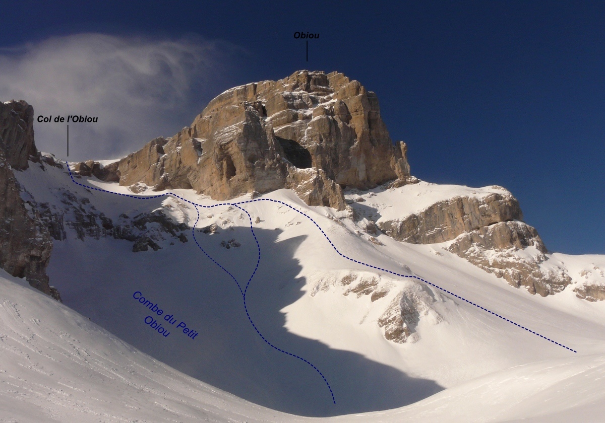
Late in Spring, the “Col des Faïsses” may be accessed by car. Earlier in the season there is to much snow on the road and skis have to be used. There are two possibilities: - by Sapey forest road leading to the Col des Faïsses. 1km before the pass (1630m), leave the car path to go up NW up to the summit of a large ridge. Cross the “Pas du Vallon” (1896m, short descent) and then continue crossing to the foot of the “Combe du Petit Obiou”. - from “les Payas” (Pellafol village), follow up the car path leading to the “col des Faïsses”]] as far as we can, and reach the [[waypoints/127935|Baumes shelter. Here, there are two possibilities depending on the snow: - if there is no snow, continue the path up to the “Faïsses” pass. Then follow W the large ridge up to the “Pas du Vallon”. - otherwise, go down the path (descent 90m) which leads to “Pré Oursier”. Then join a wide flat section (at he foot of “Bénitier” by a steep gully (named “les Côtes” on IGN map) crowded with alders at the beginning.
Ascent of the “Petit Obiou” pass
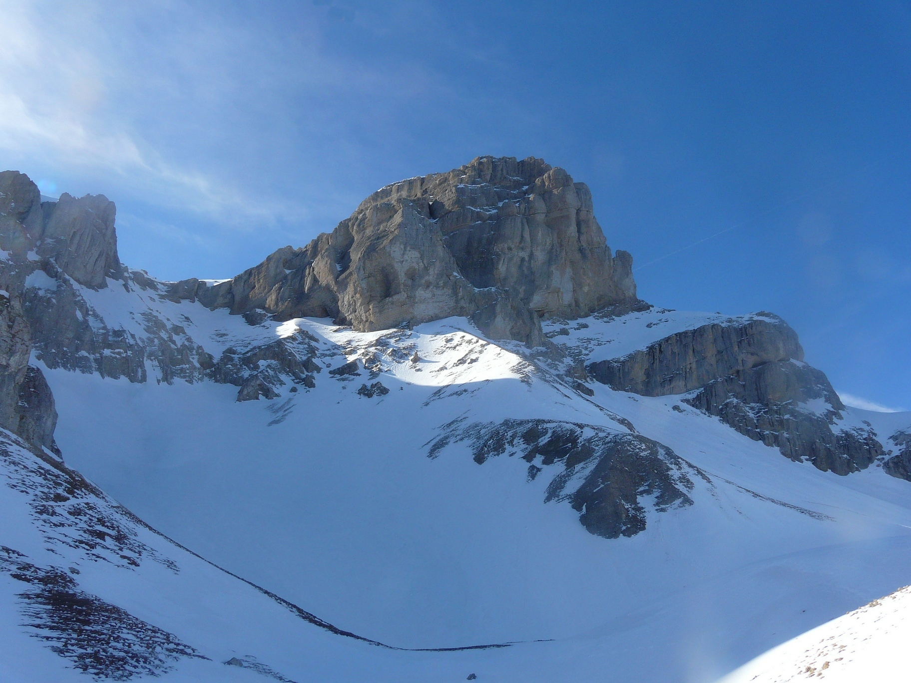
From the flat, go up the “Combe du Petit Obiou”. Around 2150m avoid a rock barrier by taking on the right and crossing slopes at 45° and 50°. Once arrived under the cliffs, cross (45° slope) to reach the steep slope leading to the “Petit Obiou” pass (50° on 100m). In fact, this route roughly follows the summer path.
Obiou
From the pass, the next part is much more alpine. The summit may be accessed by the “Cravatte” or the “Chatières” routes.
“Chatières” route
From the pass, take the NW slopes under the head of Obiou (45° sections) and cross the middle rock barrier by a short climb. Continue up to the foot of the “Chatières” opening (cave tunnel in the rock) around 2710m. Leave the skis here and climb the tunnel on about 80m up to the summit (easy in Summer, but more problematic in Winter).
“Cravatte” route
Follow the wide snow ridge in S direction up to the foot of a rock bastion (slab rock stairs with summer path markups). Climb it up to a horizontal snow line. Then cross on left and pass under a big overhanging rock to arrive above a couloir with a jammed block. Follow up the corridor (snow slope) which leads directly to the summit.

The text and images in this page are available
under a Creative Commons CC-by-sa licence.

Download the Whympr App to view this route in 3D.
- Route search (100 000)
- Community returns
- Weather forecast
- Avalanche bulletin
- Race book
- Creation of tracks
- Topographic map (including IGN)