

Open this route in the app to prepare your next outing.
Min / max altitude1700m / 2449m
Duration3 hours 36 minutes
Main facingS
Source
Details
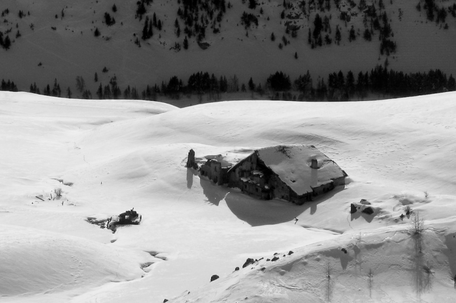
De Cervières (ou plus haut si la route est déneigée) suivre la route pendant 4 km jusqu’au lieu-dit La chau (1994 m). Prendre direction NW jusqu’à l’altitude 2100 m, ensuite NE jusqu’au lac Noir (2226 m). Ensuite toujours NE jusqu’au Lac Gignoux 2329. Prendre N jusqu’à la cabane frontière en la laissant sur la gauche pour finir.

The text and images in this page are available
under a Creative Commons CC-by-sa licence.

Download the Whympr App to view this route in 3D.
- Route search (100 000)
- Community returns
- Weather forecast
- Avalanche bulletin
- Race book
- Creation of tracks
- Topographic map (including IGN)