

Open this route in the app to prepare your next outing.

Details
Route
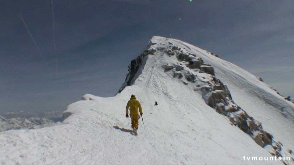
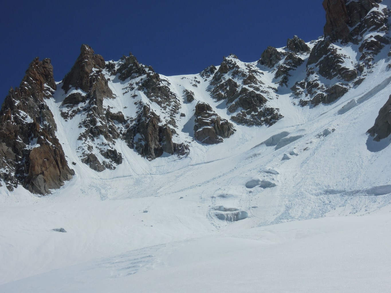
Follow the itinerary for the ‘Col du Chardonnet’ until a plateau at 3050m. Loop around to the right towards the upper Chardonnet glacier. Climb this glacier to its bergschrund (~3500m, can be awkward) then follow the most obvious gully (“Couloir en X”), that gives access to the NW ridge of Aiguille d’Argentière at around 3650m. Follow this ridge to a rocky outcrop around 3750m. Go onto the N face and climb a large steep slope (often icy unfortunately) which gives access to the W summit of the Aiguille d’Argentière.
Descent
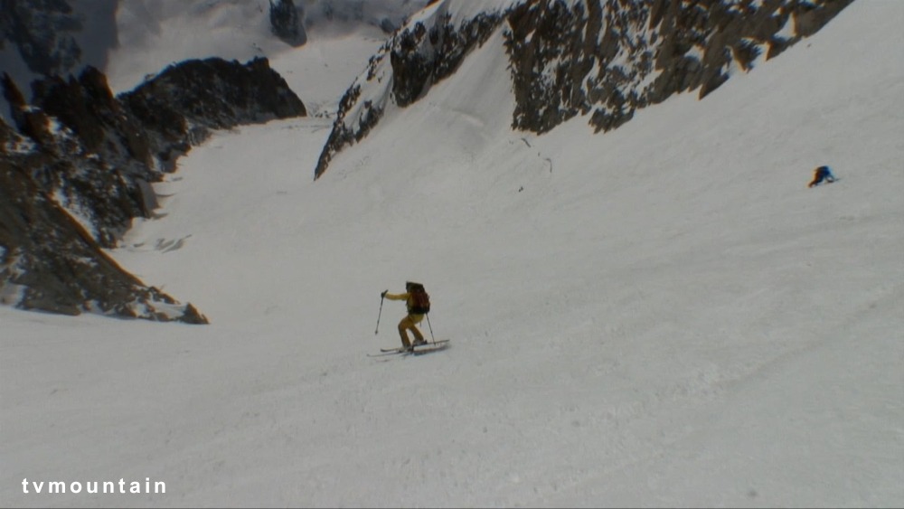
By the same route (two 50m abseils down the ice slope and another abseil over the bergschrund), or by the ‘glacier du Milieu’.

The text and images in this page are available
under a Creative Commons CC-by-sa licence.

Download the Whympr App to view this route in 3D.
- Route search (100 000)
- Community returns
- Weather forecast
- Avalanche bulletin
- Race book
- Creation of tracks
- Topographic map (including IGN)