

Open this route in the app to prepare your next outing.

Details
Climb
The beginning of the route is common with the normal route of the Goléon.
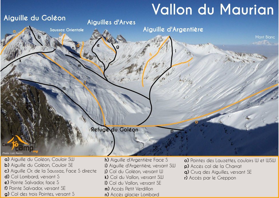
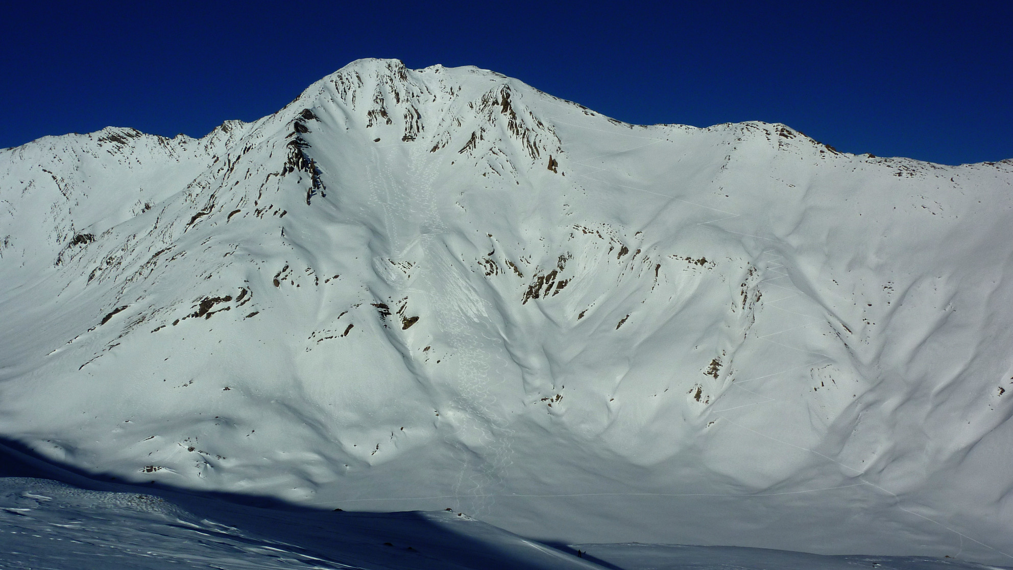
From les Hières]] (1782 m), or according to snow conditions Pramailer/Valfroide (1874 m), follow the route of Lac du Goléon through the [[waypoints/132273| refuge of Goléon]]. After a short descent along the right bank side of the lake, cross the Amont plateau (snow bridge in the spring). Take the SW slopes under the [[waypoints/40280|Col du Goléon]], go N and aim at the top of the ridge that connects the [[waypoints/40280|Col du Goléon]] to the [[waypoints/39966|Aiguille d’Argentière. Once on the ridge we can approach or even ski to E summit, either by the ridge or crossing slightly below (exposed). Then reaching the W summit (3237 m) is much more delicate.
Downhill
Either by the climb route (S3) or full S from the summit E by le Creux de la Corbeille ( sustained S4 for 200 m in a face of 700 m) presence of many rocks (E2).
Return variation
Rather than going back to the Goléon hut]], it is possible to go back to the [[waypoints/542224| Cruq des Aiguilles by the rubans. That adds 250 m of D+, but a nice S facing descent, avoiding a good part of the flat of the valley.

The text and images in this page are available
under a Creative Commons CC-by-sa licence.

Download the Whympr App to view this route in 3D.
- Route search (100 000)
- Community returns
- Weather forecast
- Avalanche bulletin
- Race book
- Creation of tracks
- Topographic map (including IGN)