

Open this route in the app to prepare your next outing.
Length7186m
Min / max altitude1220m / 2623m
Duration6 hours 19 minutes
Main facingSW
Route typeReturn the same way
Source
Details
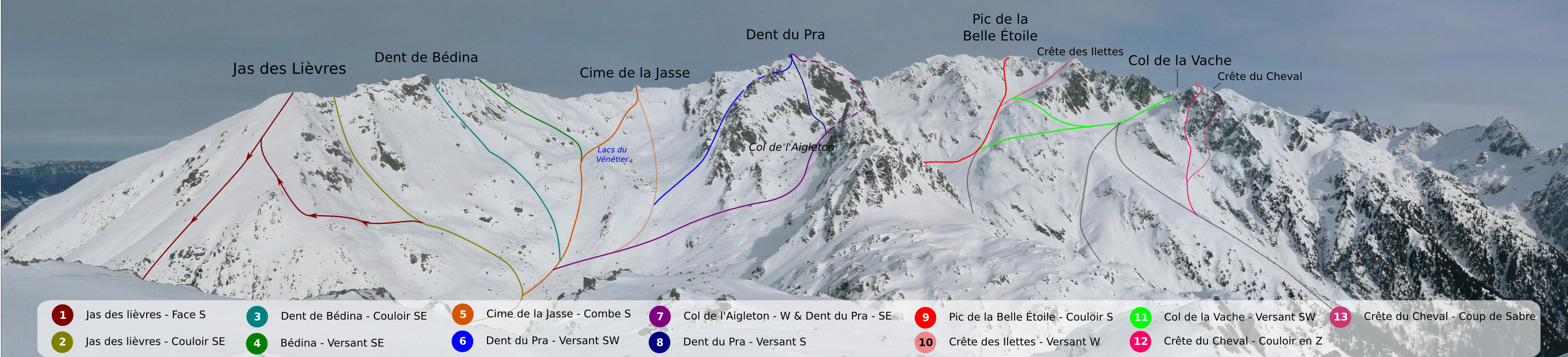
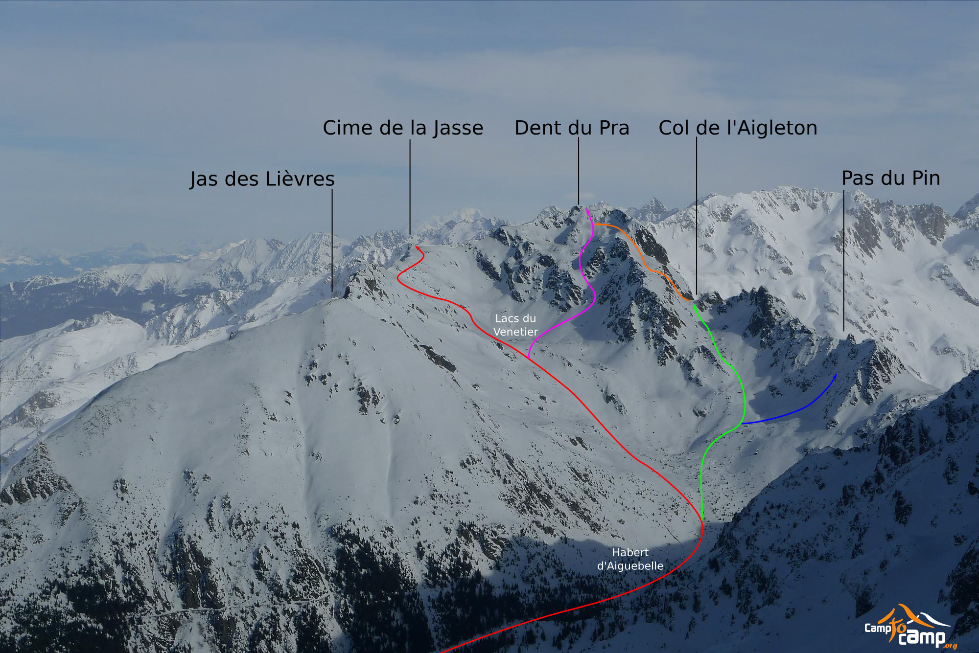
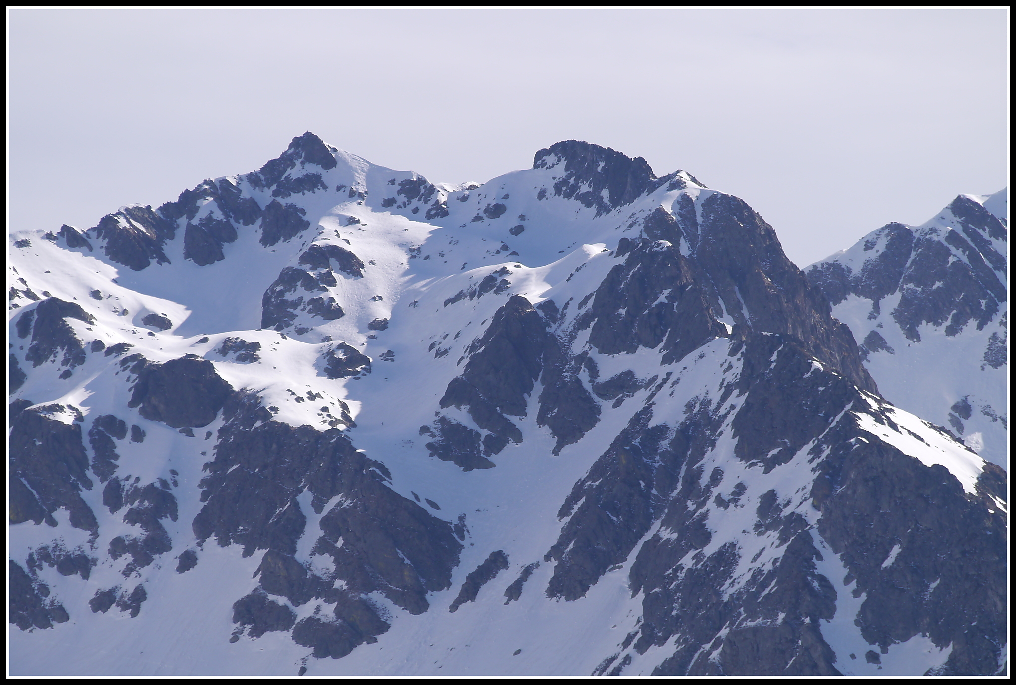
De Prabert, suivre la route du pré de L’arc jusqu’au Habert du Muret (1400 m), puis le sentier jusqu’au Habert d’Aiguebelle (1750 m). Monter aux Lacs du Vénétier (2000 m) par une combe plein S. Ensuite, attaquer la grande pente SW (mais froide l’hiver), 30-35°. Elle se rétrécit en 2 couloirs parallèles et étroits. Au sommet des couloirs, tirer à gauche pour déboucher dans un vallon presque plat. Continuer NE dans ce vallon, passer 2 ressauts puis sortir sur l’arête qui mène au sommet 30 m plus haut.

The text and images in this page are available
under a Creative Commons CC-by-sa licence.

Download the Whympr App to view this route in 3D.
- Route search (100 000)
- Community returns
- Weather forecast
- Avalanche bulletin
- Race book
- Creation of tracks
- Topographic map (including IGN)