

Open this route in the app to prepare your next outing.

Details
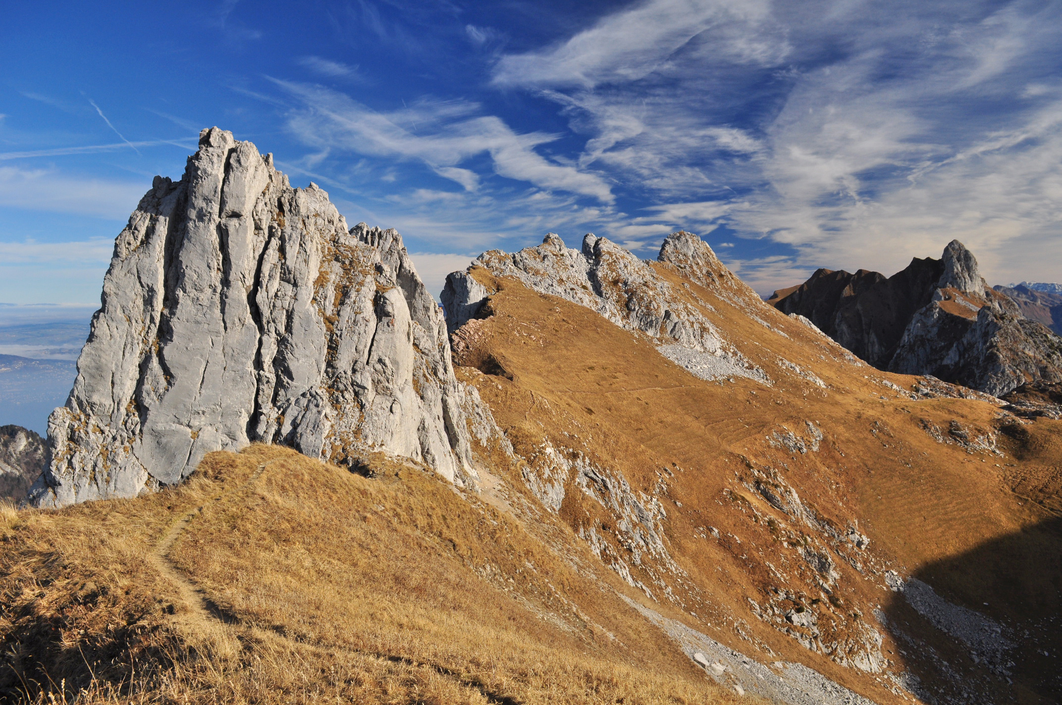
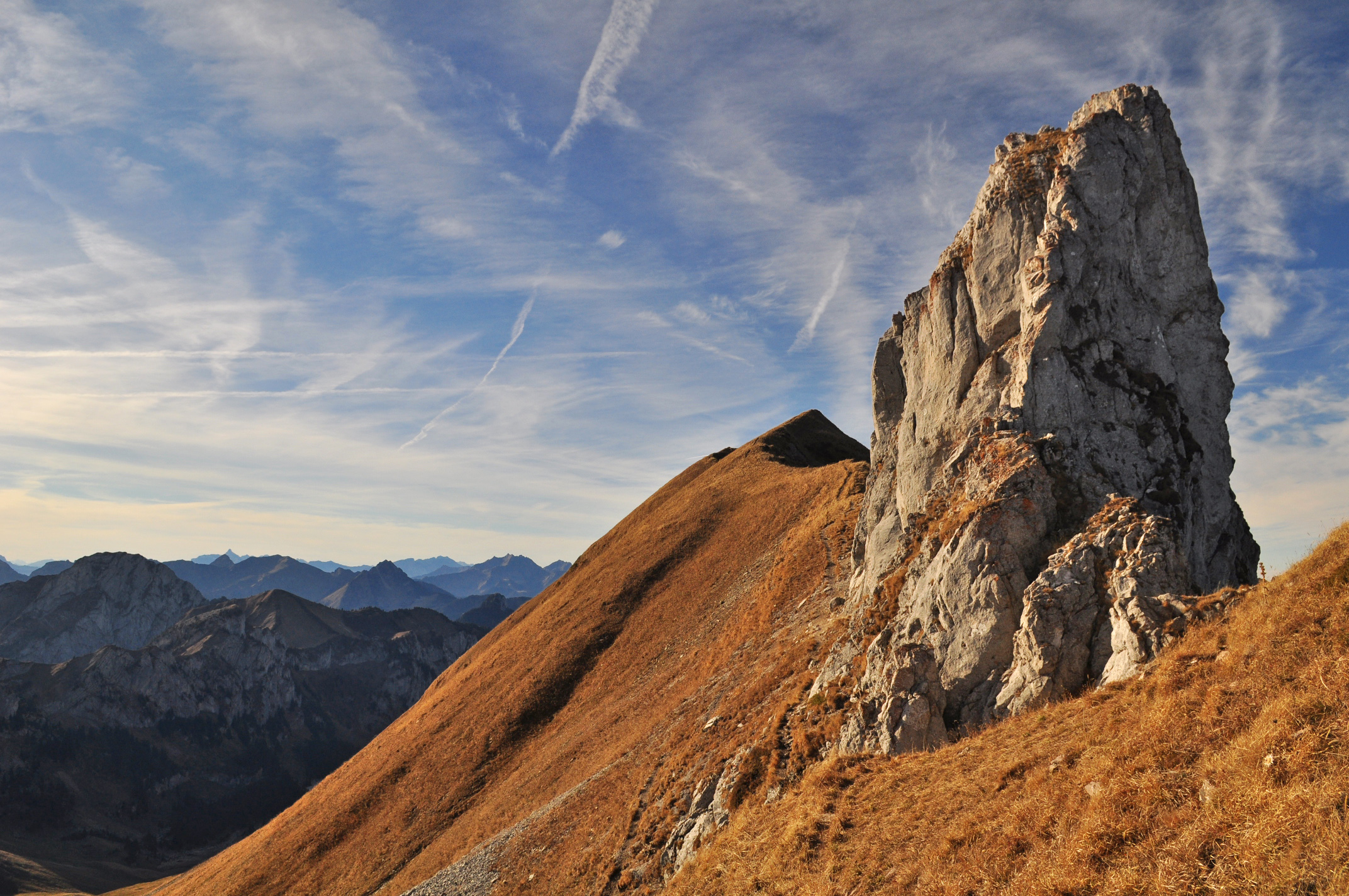
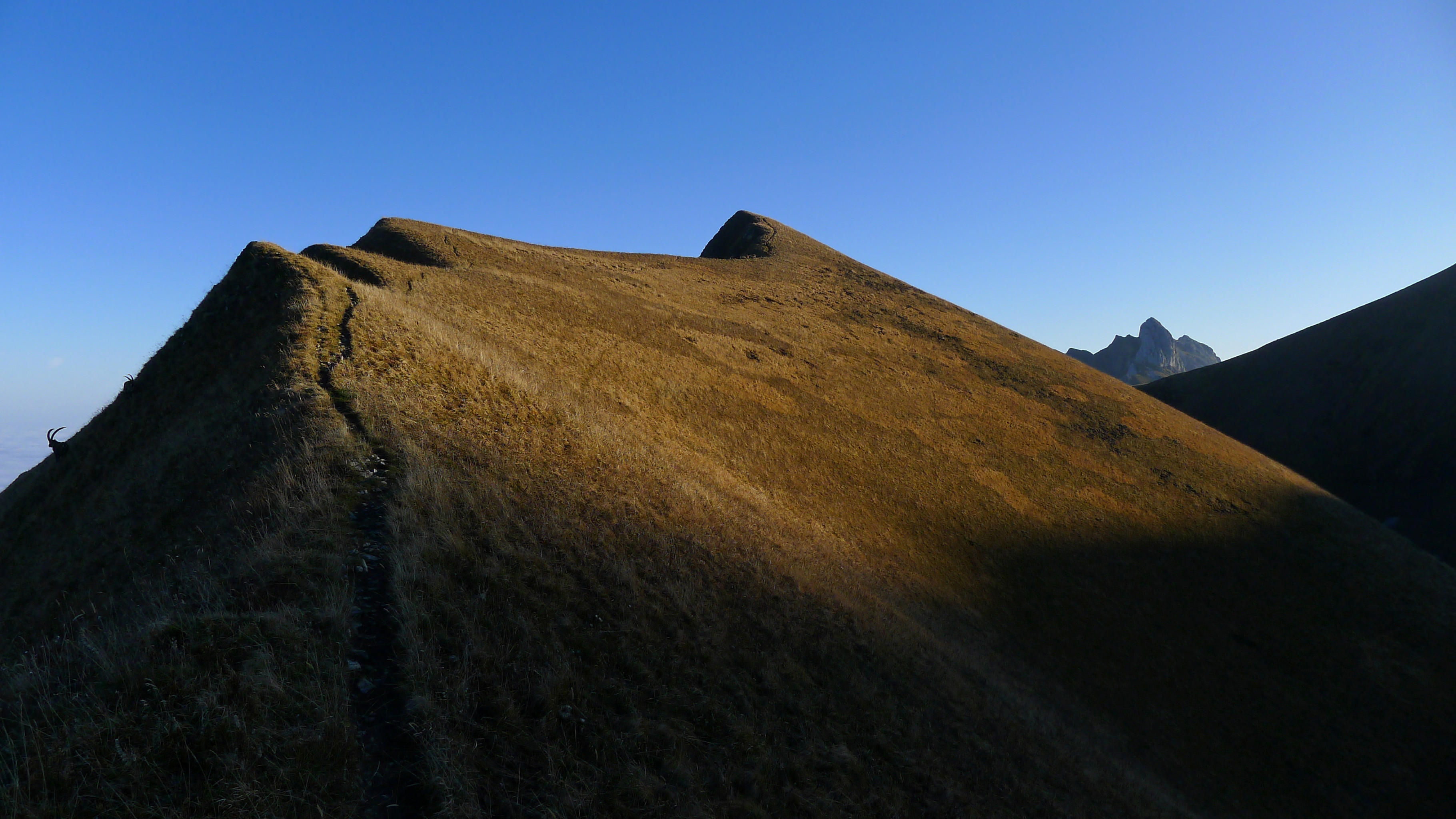
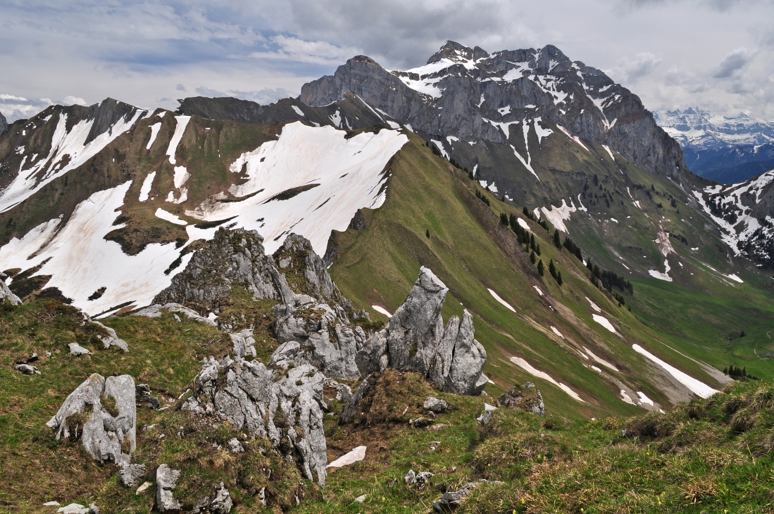
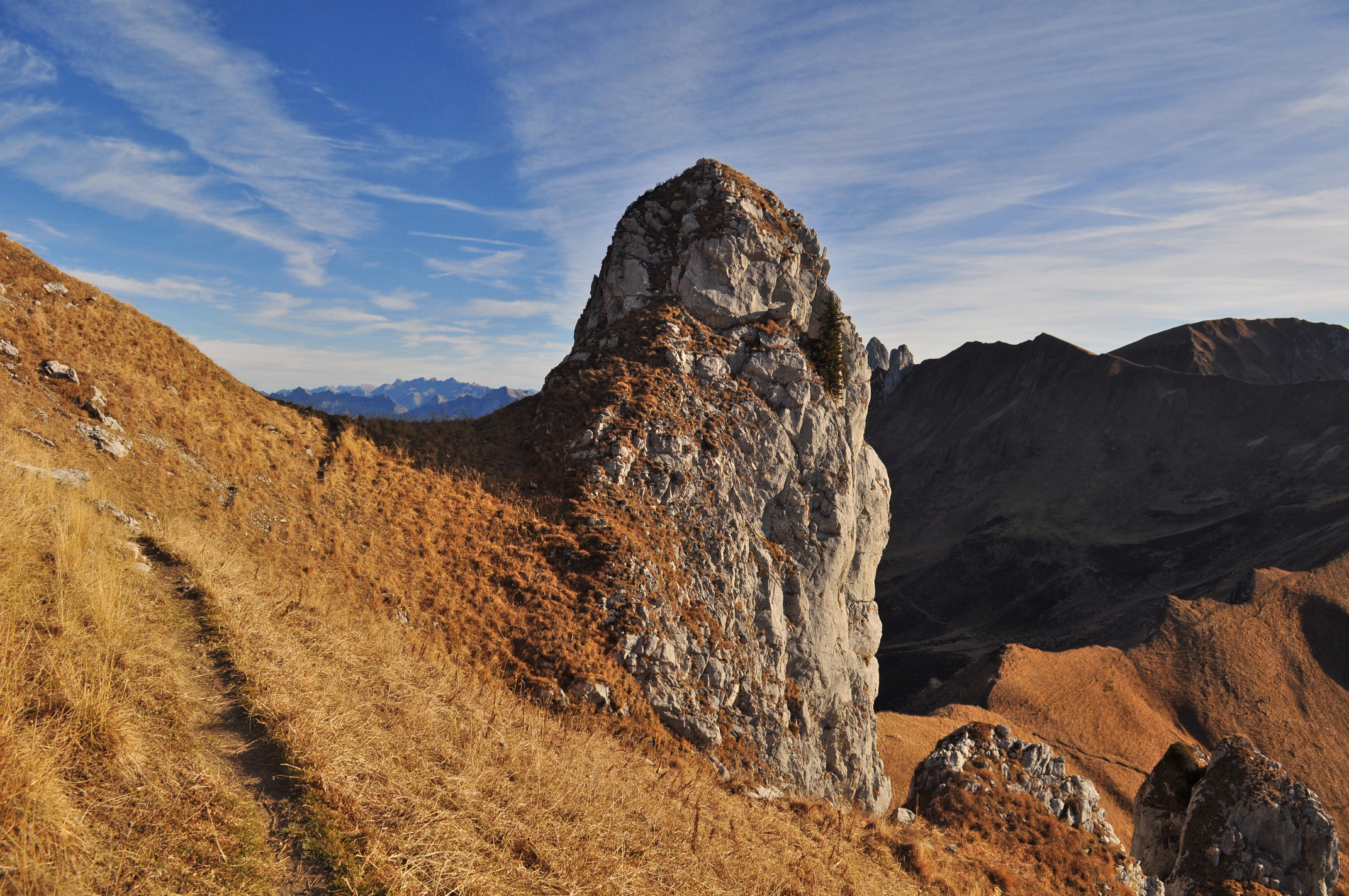
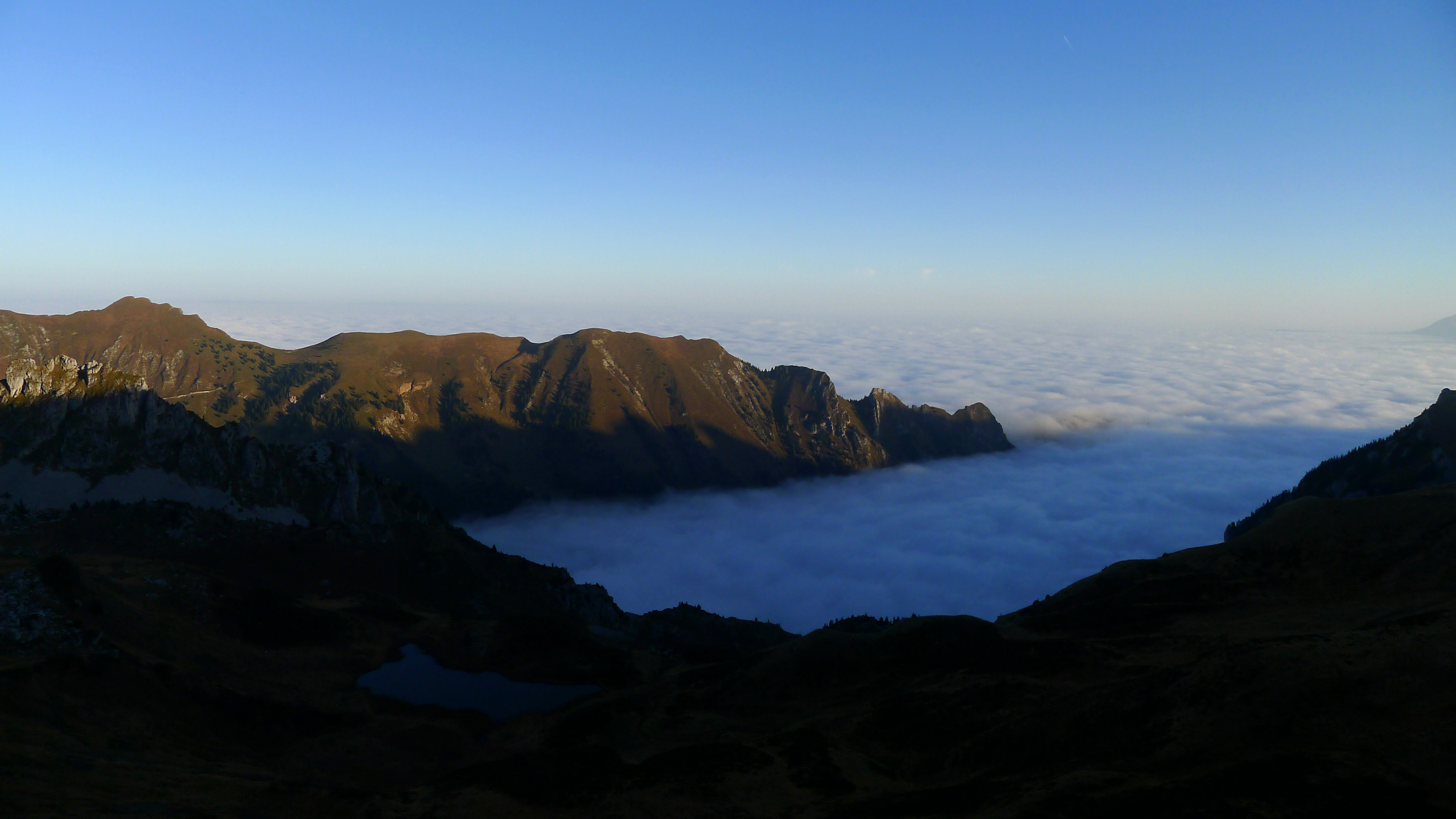
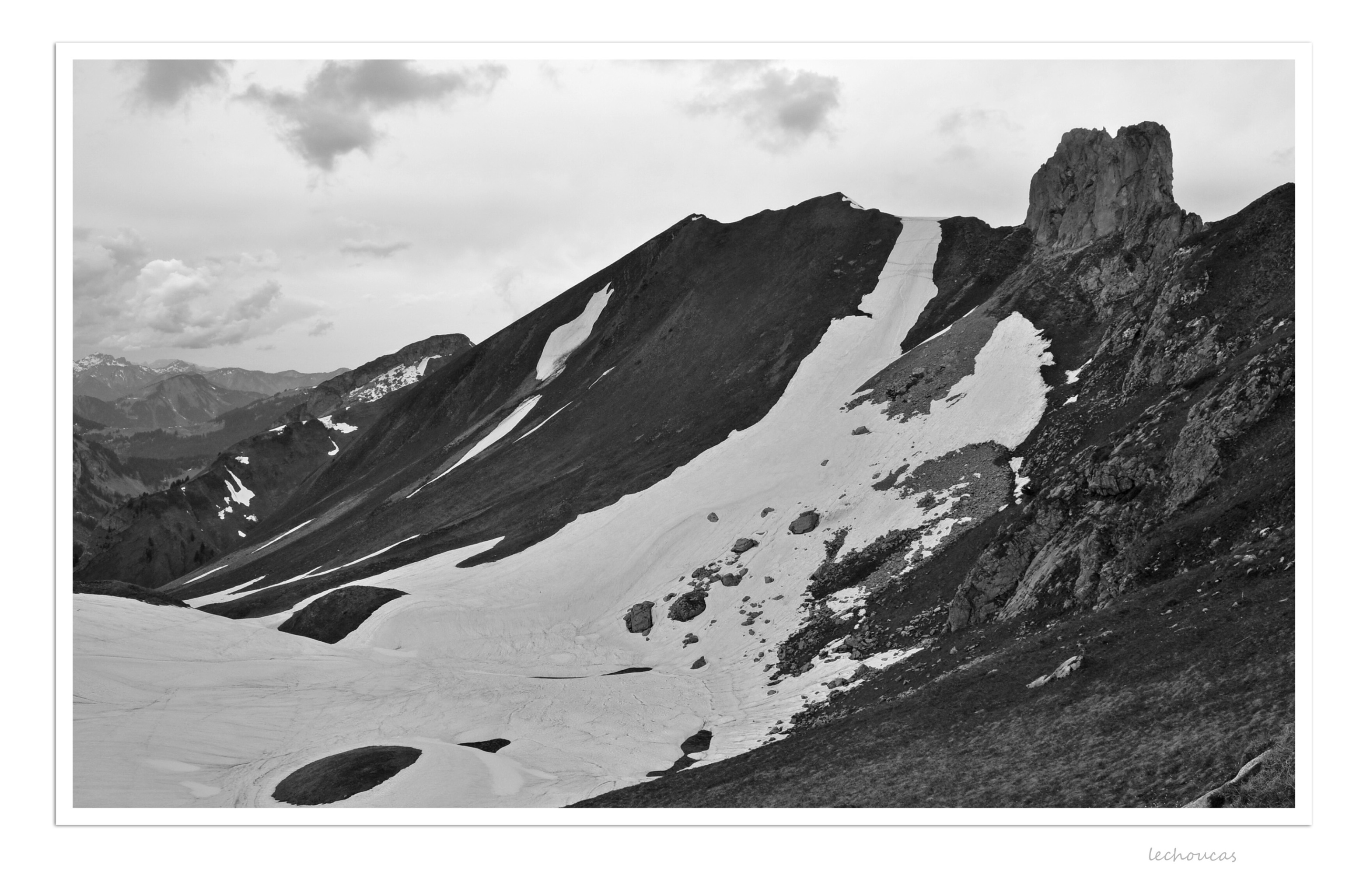
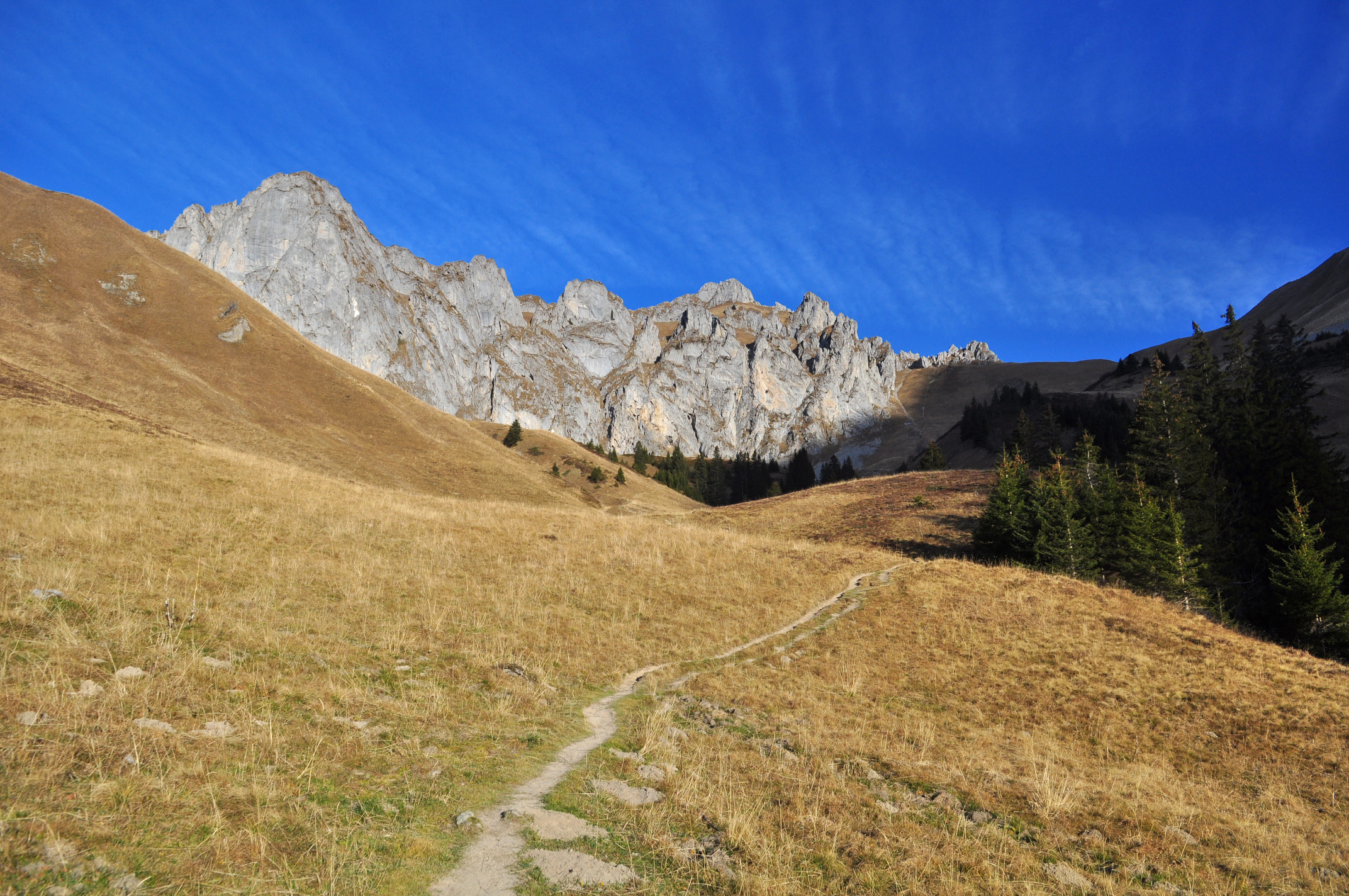
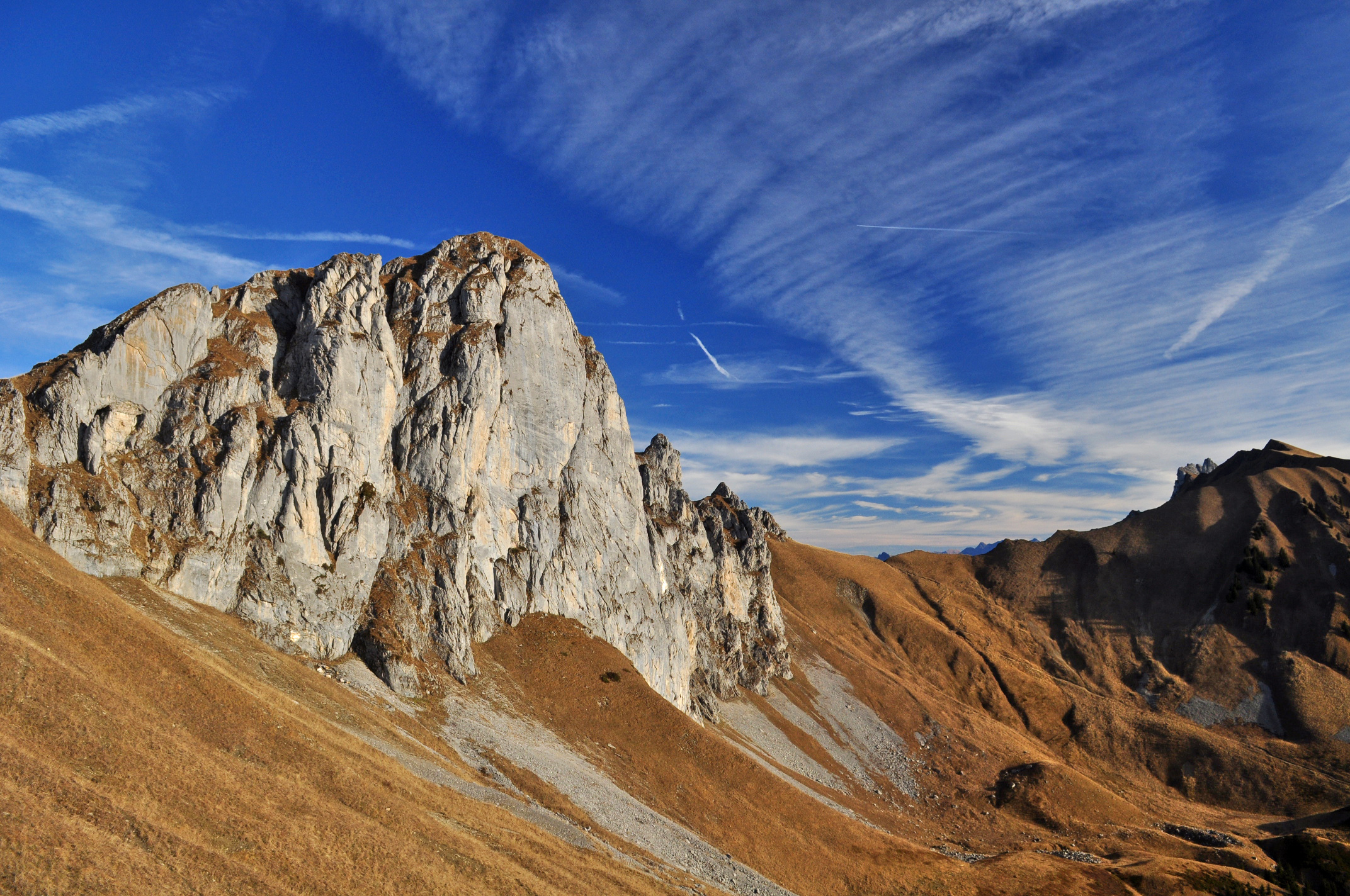
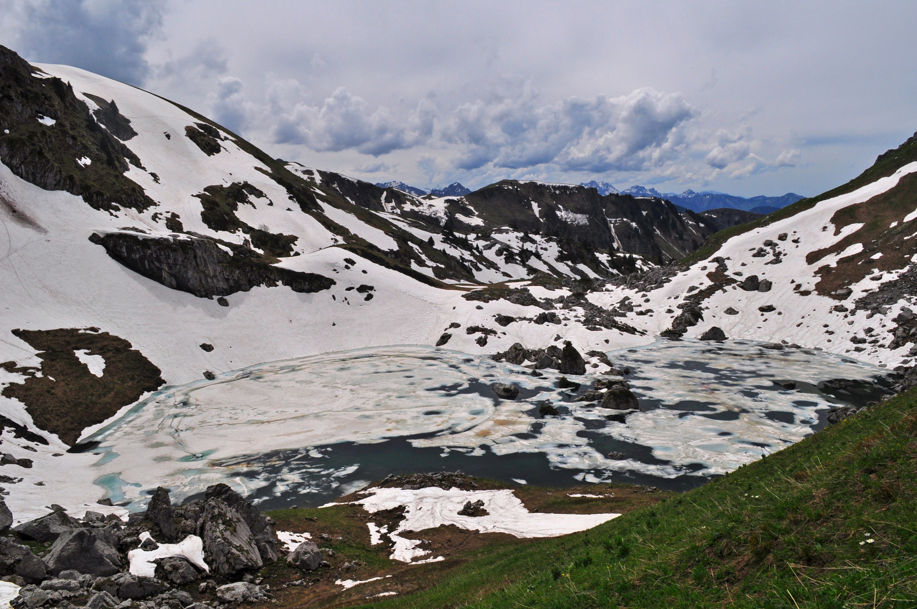
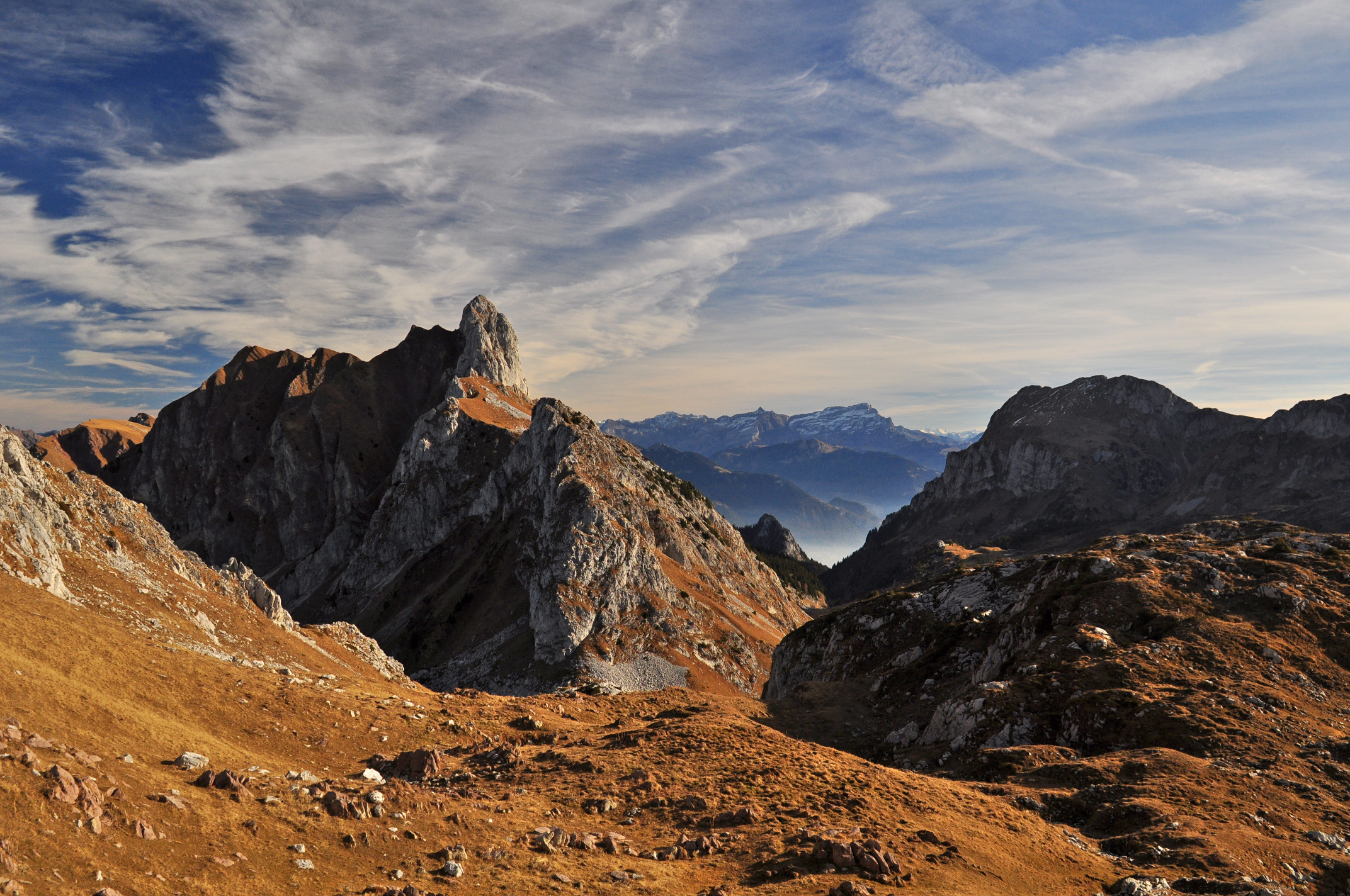
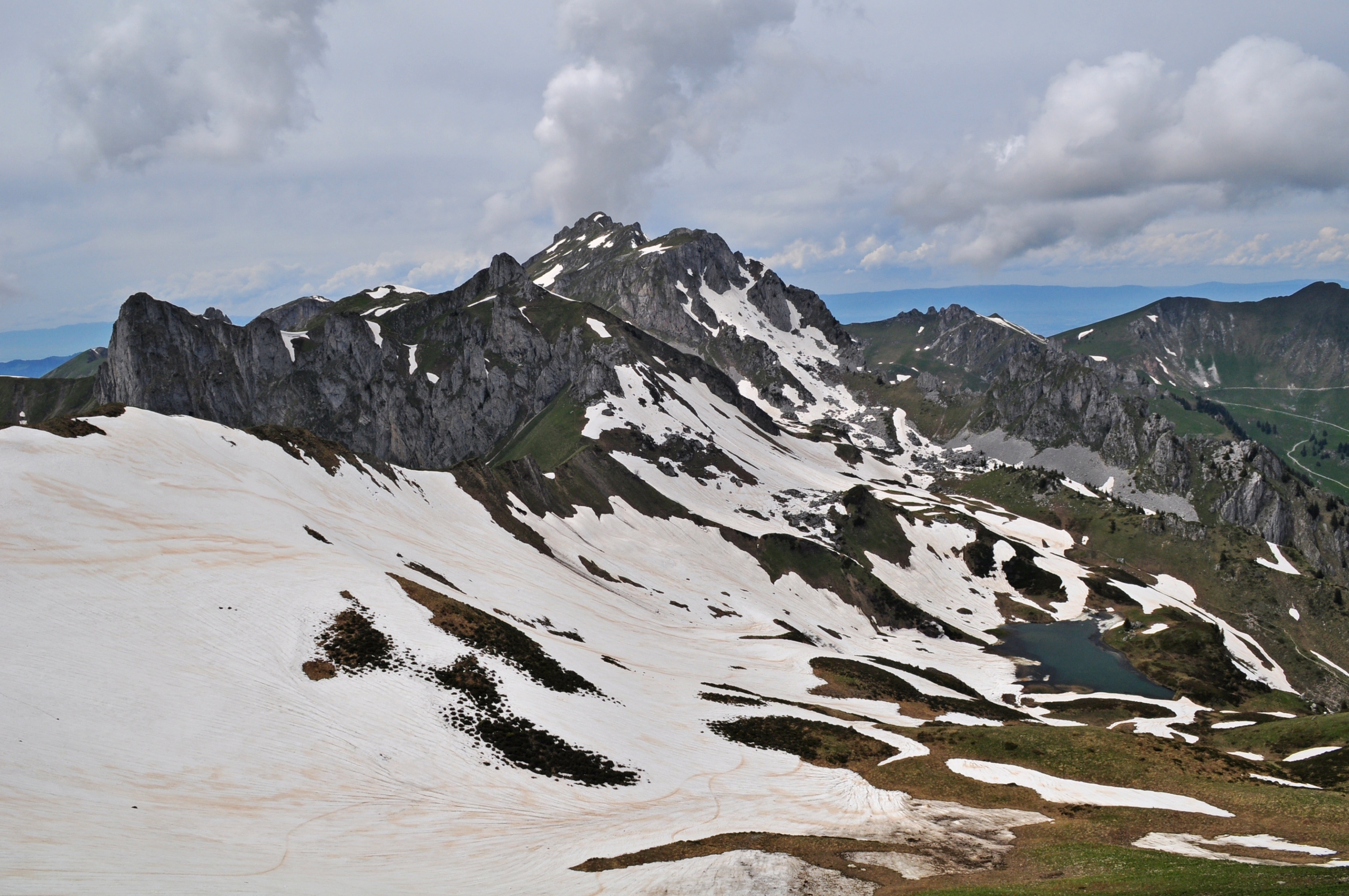
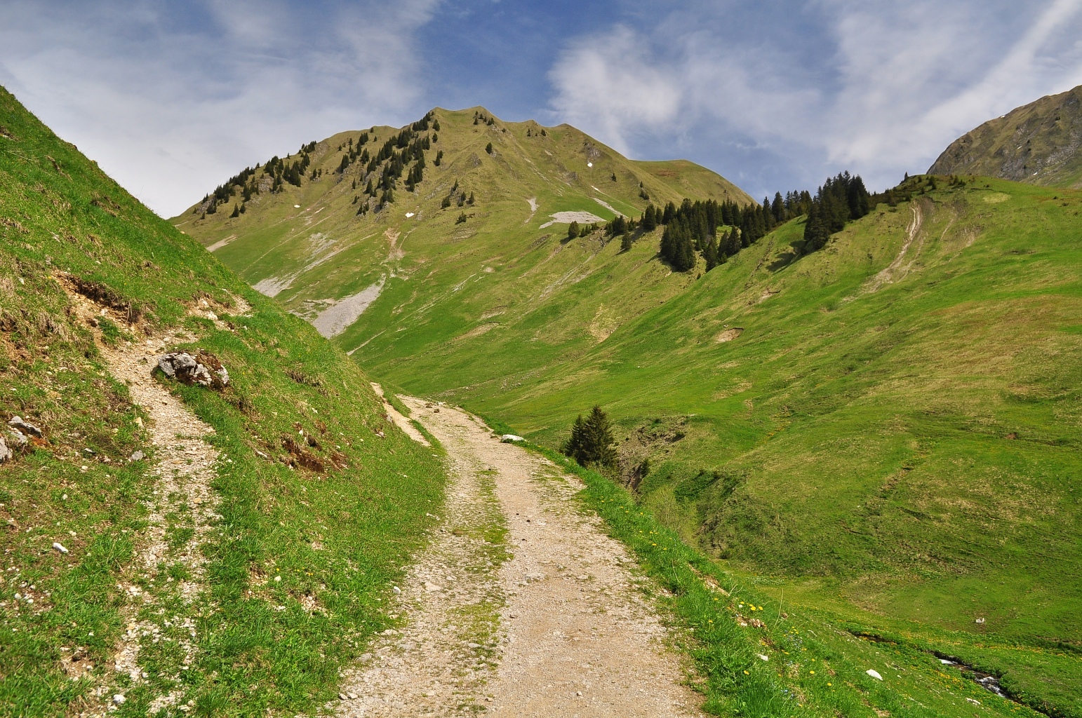
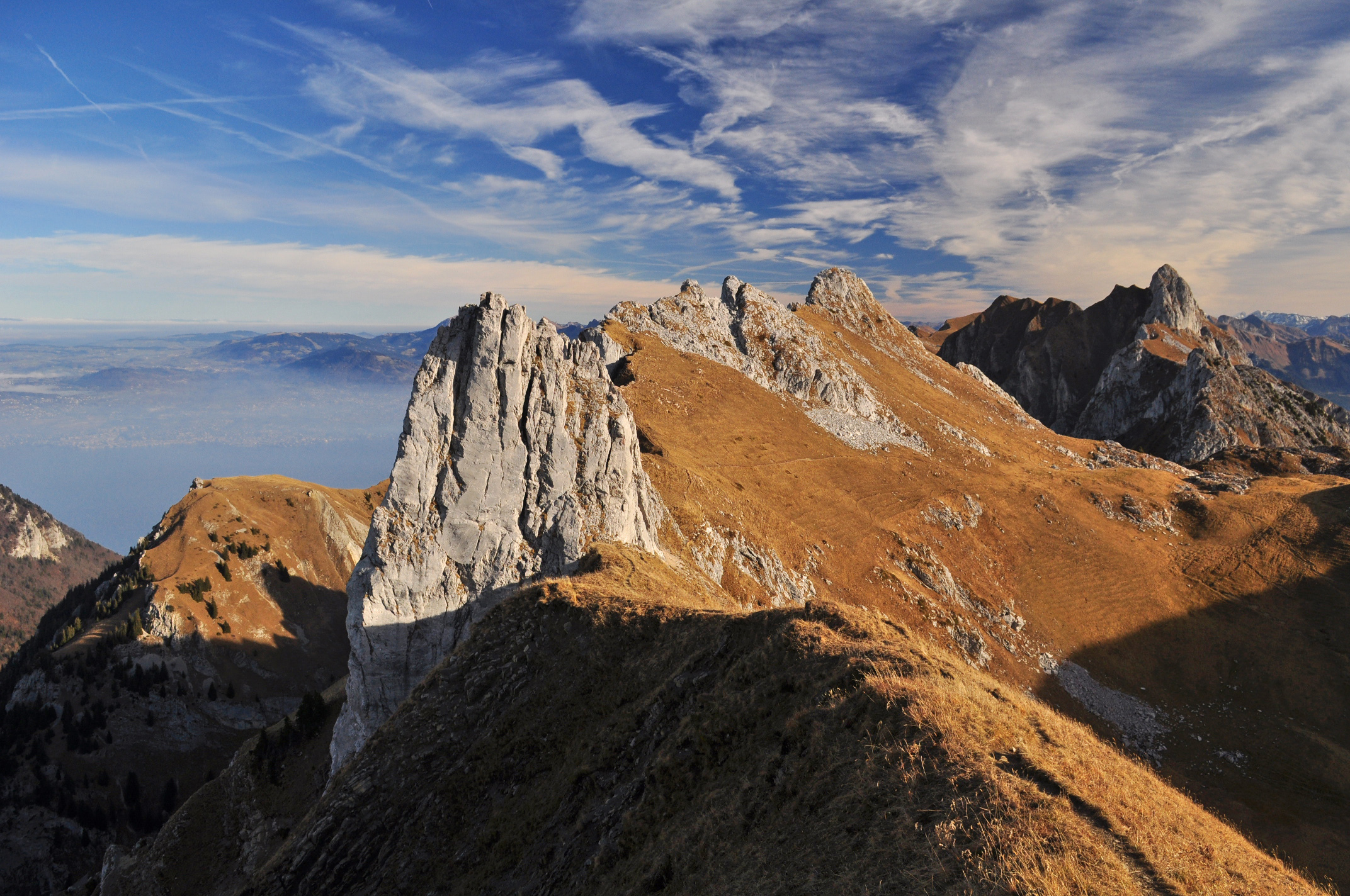
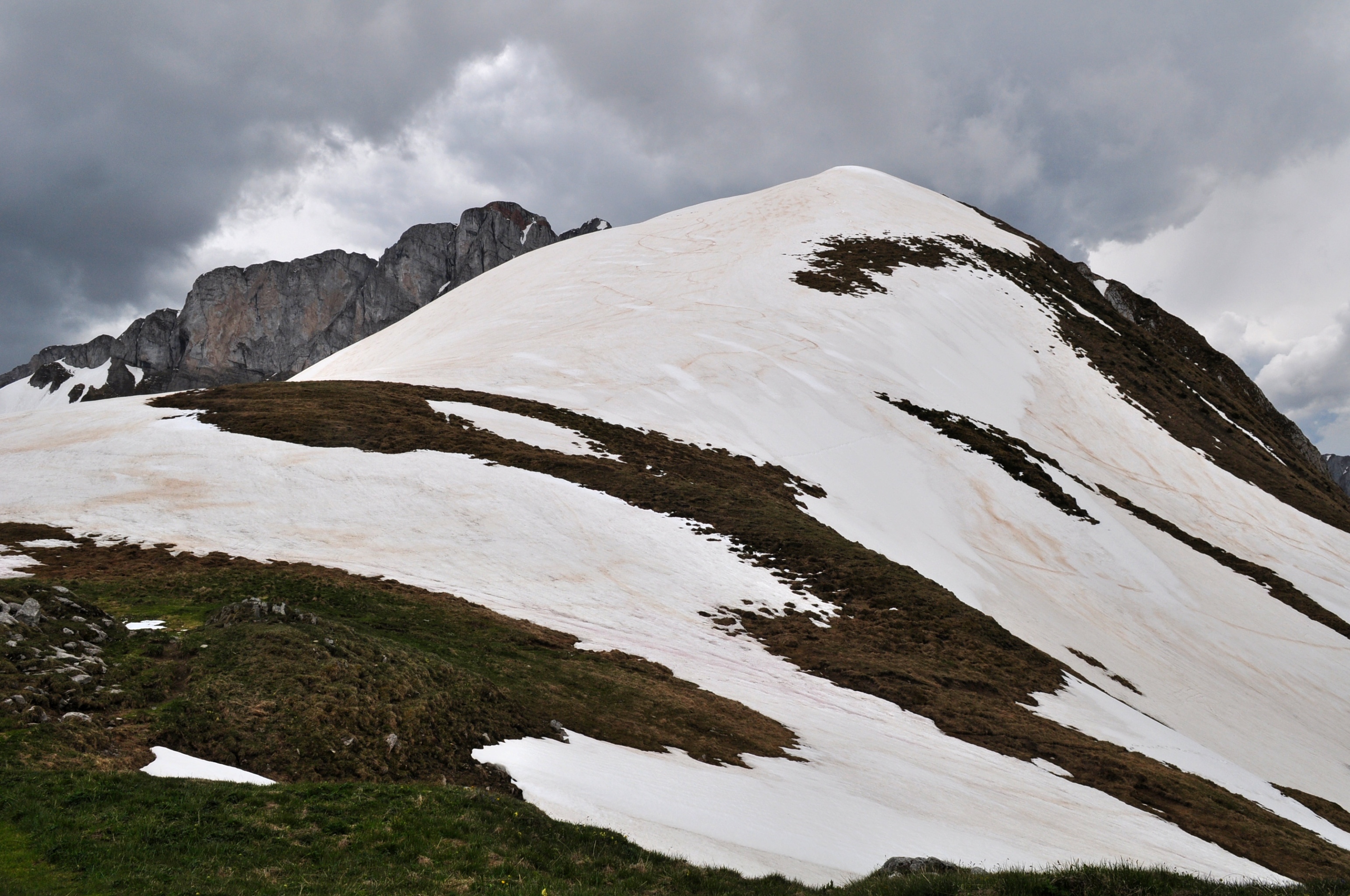
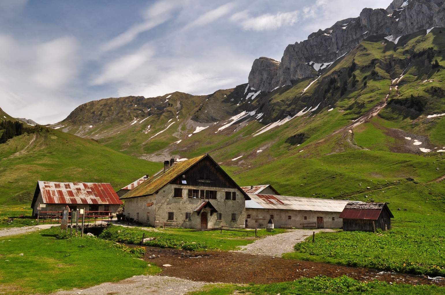
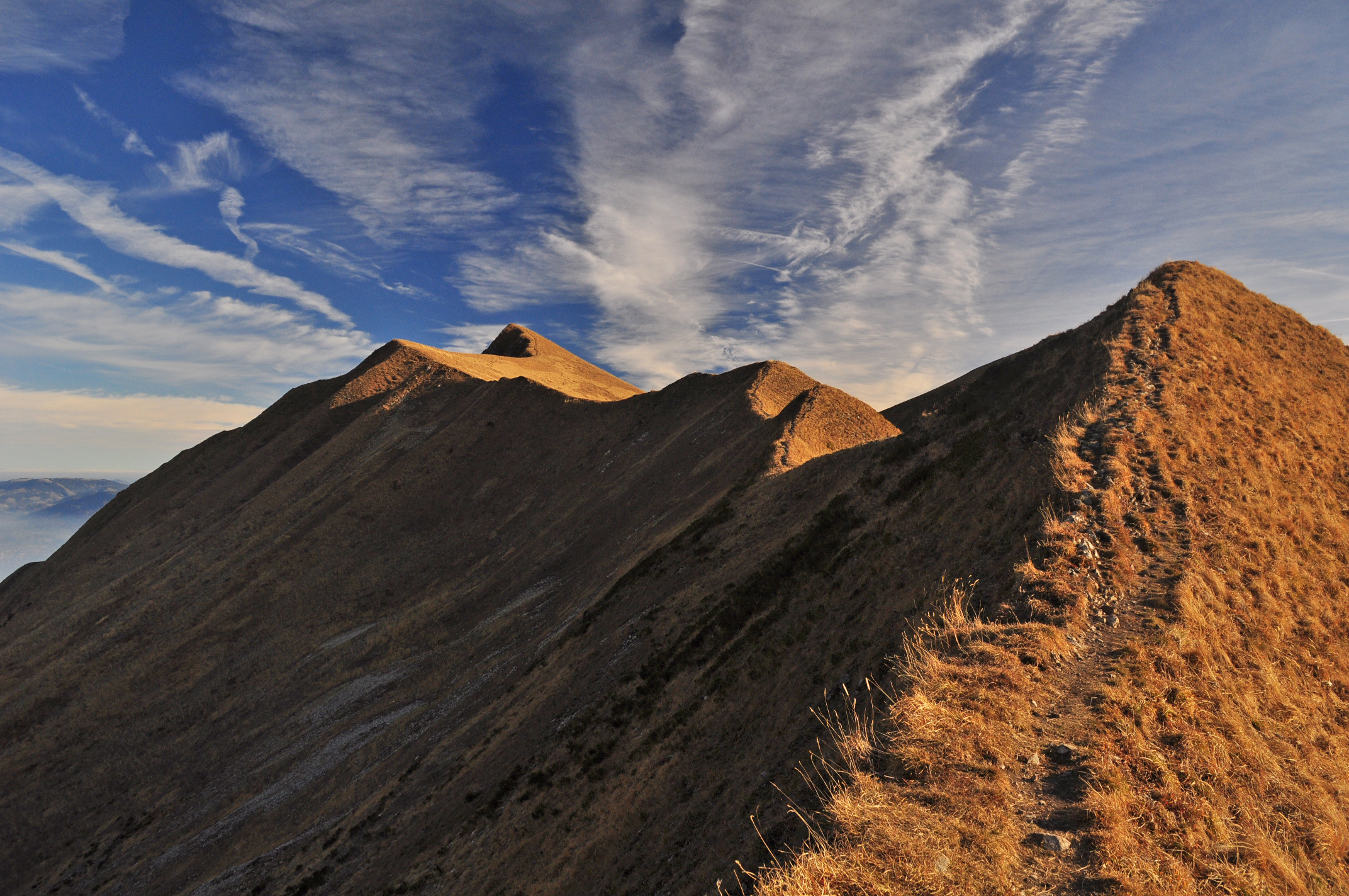
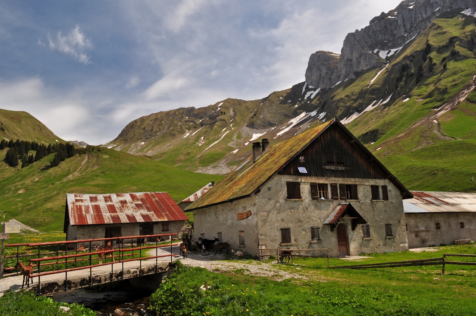
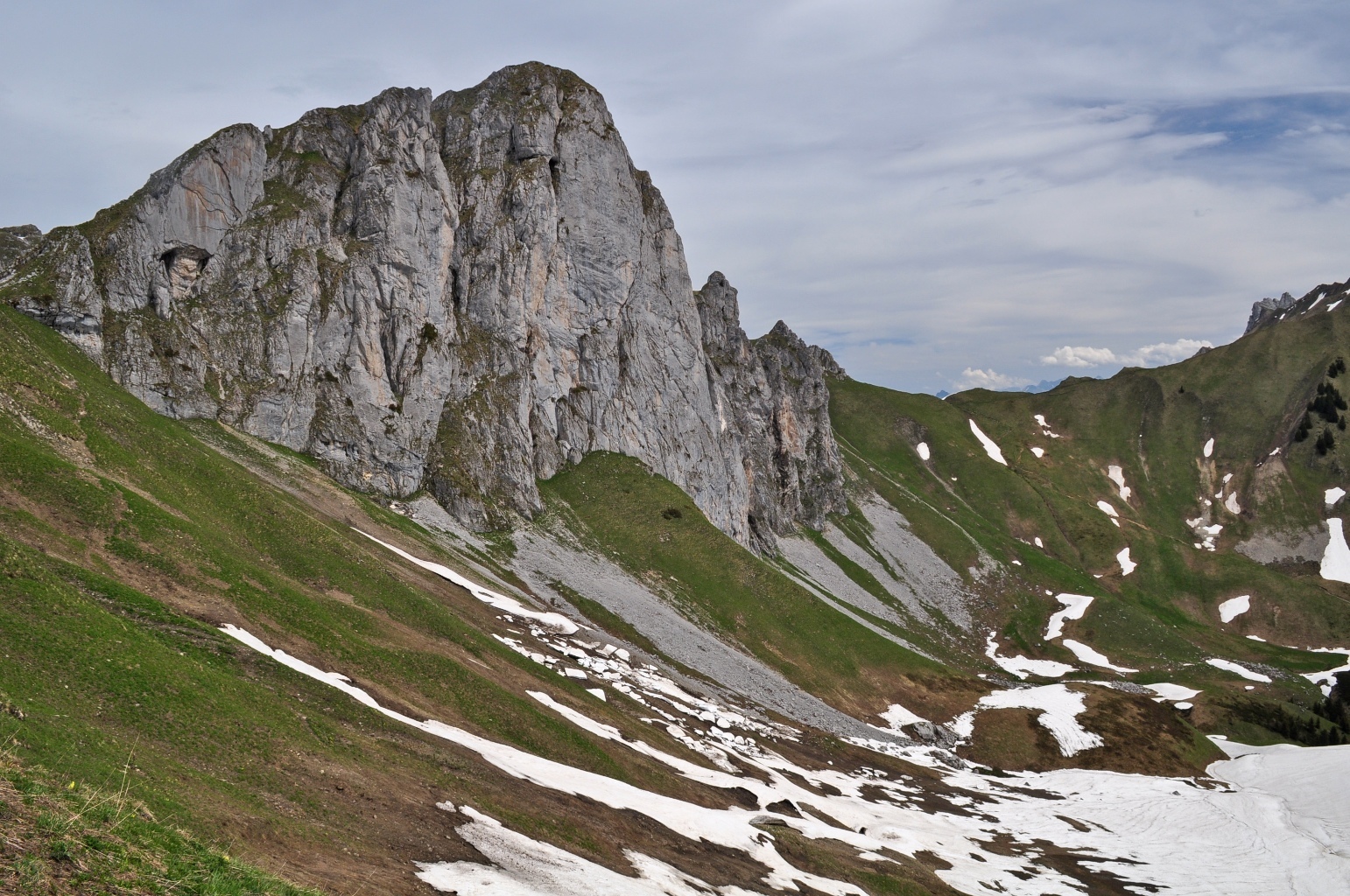
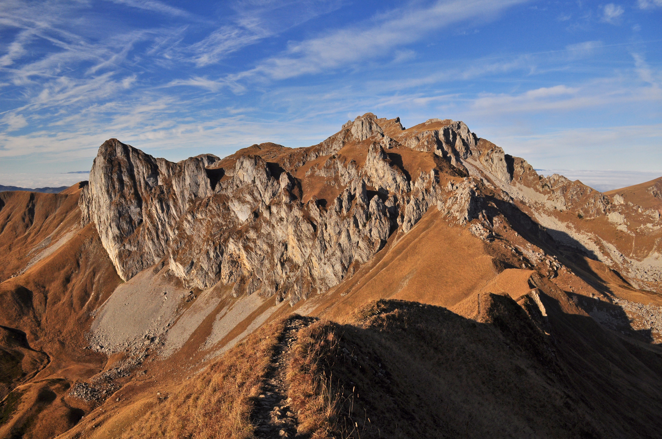
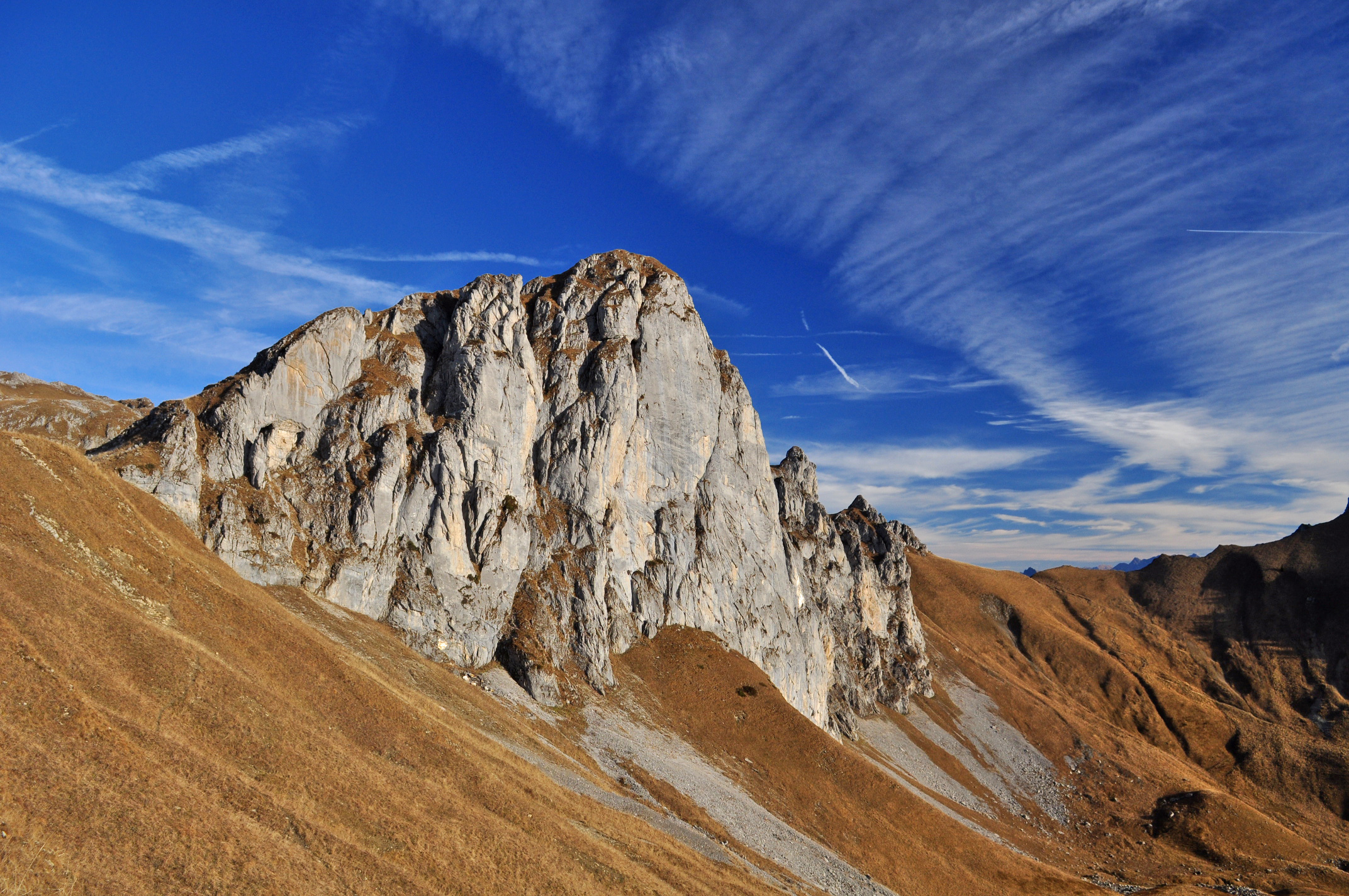
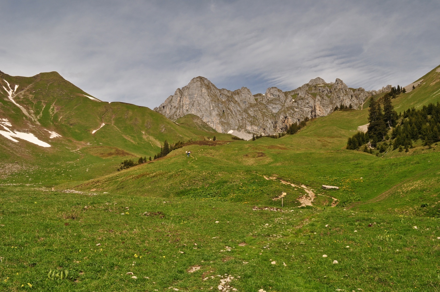
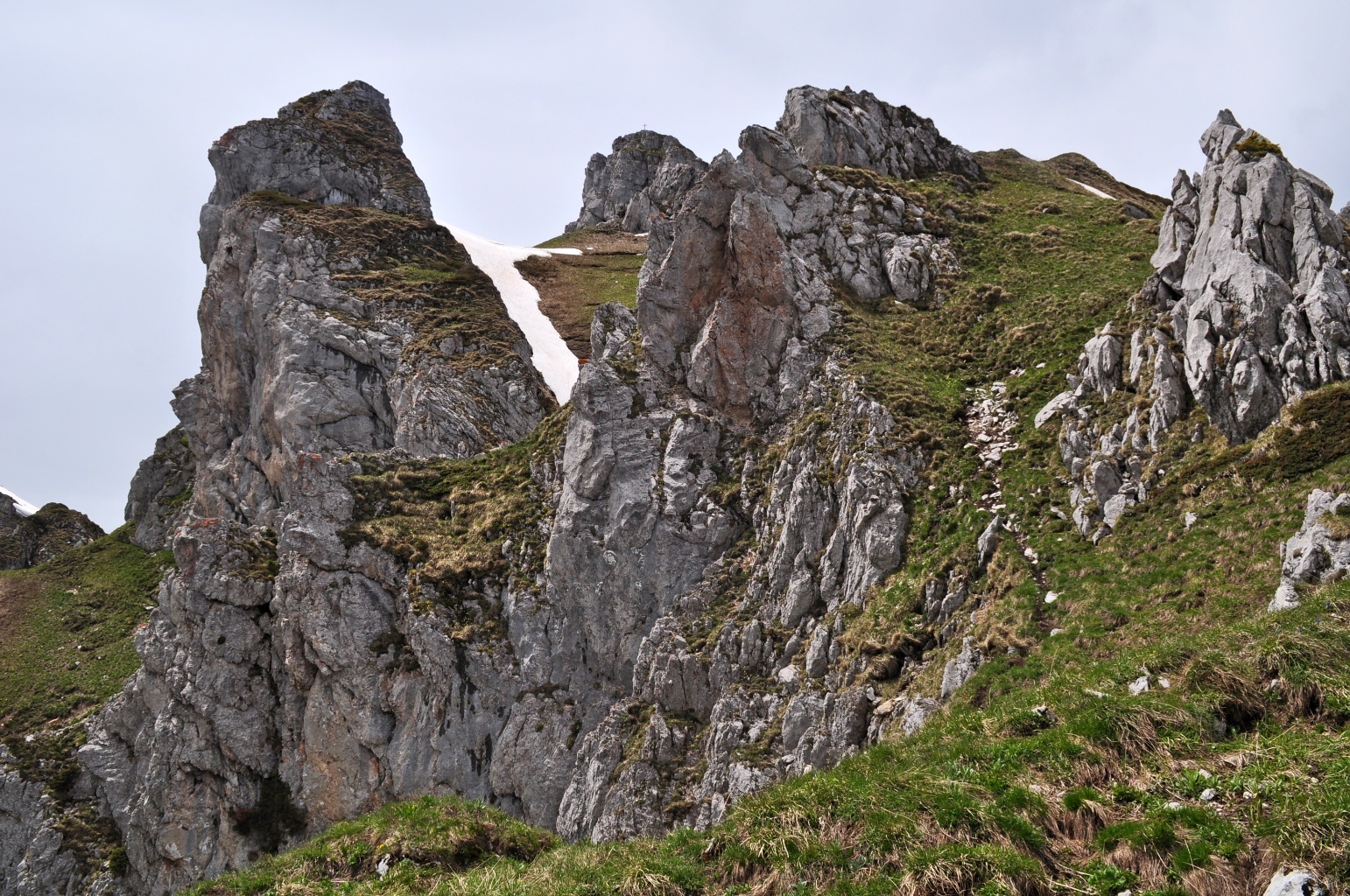
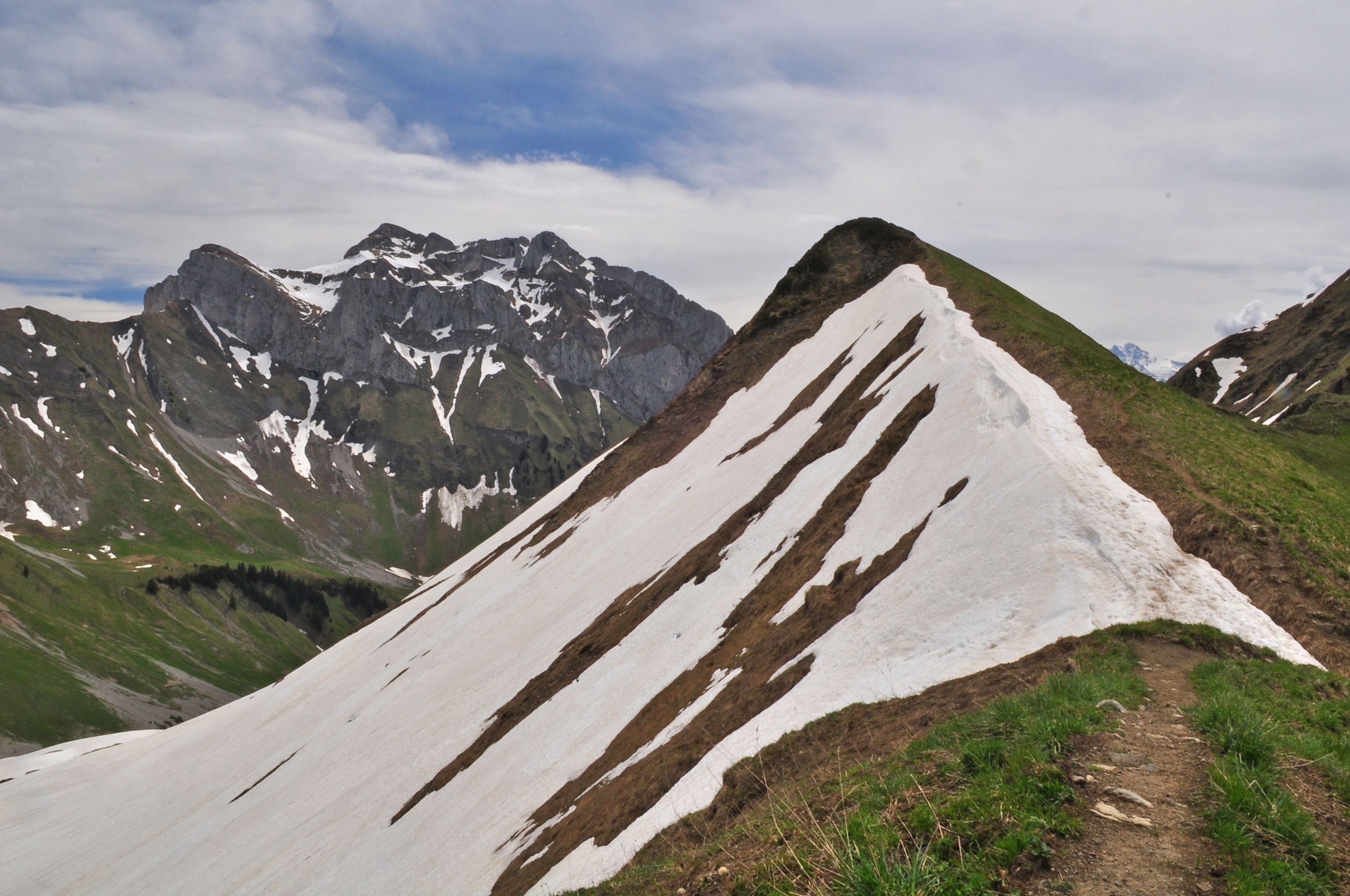
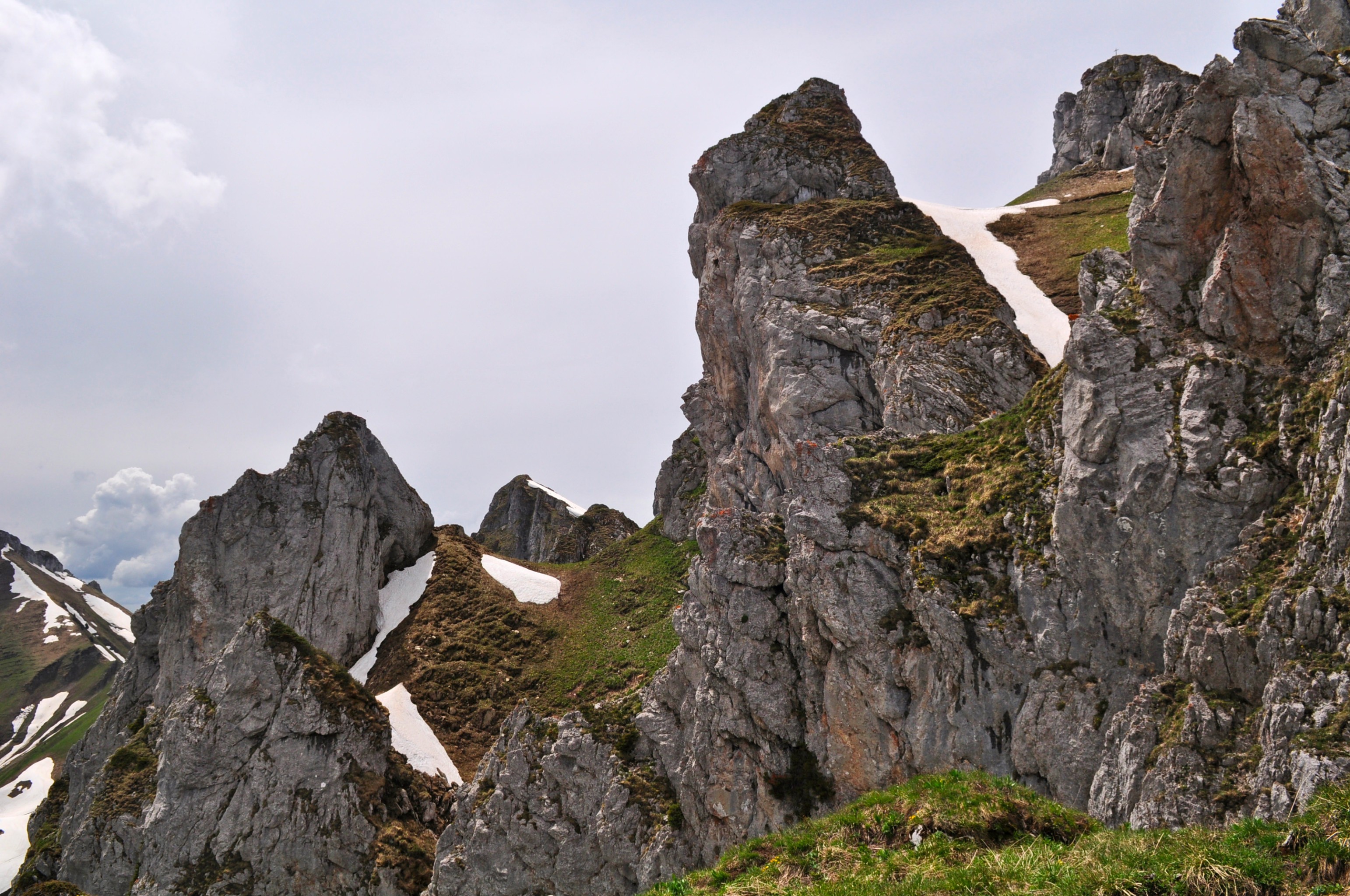
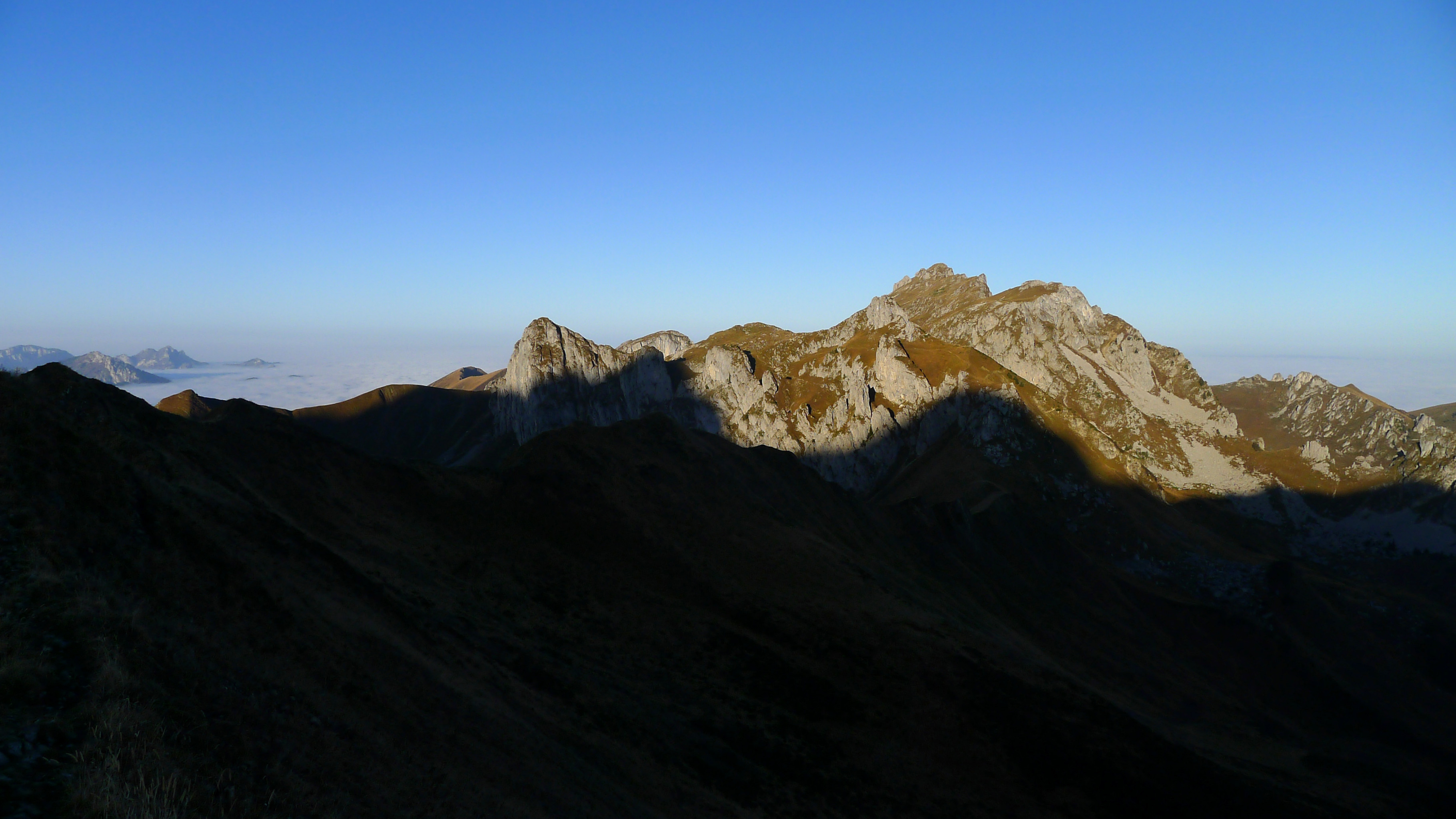
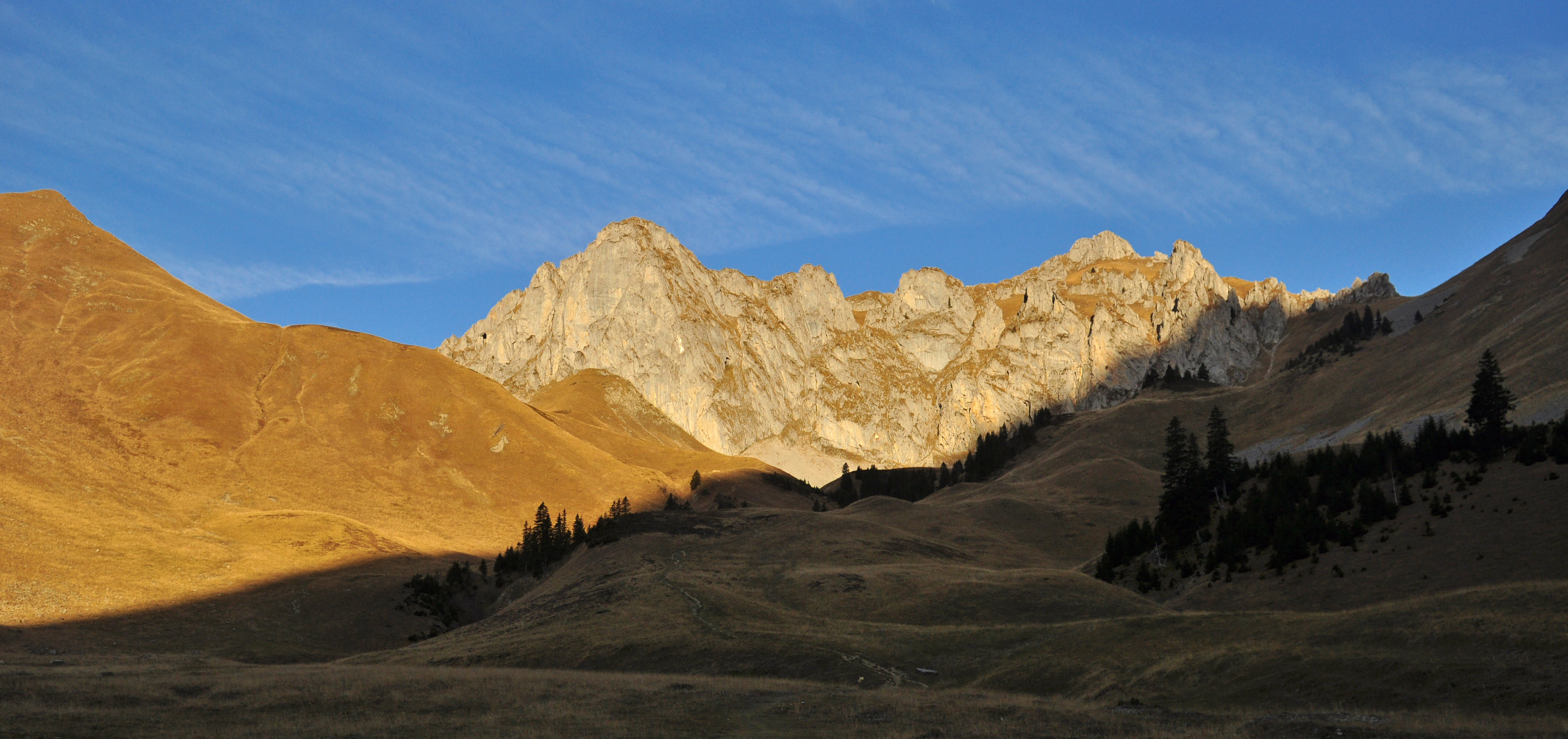
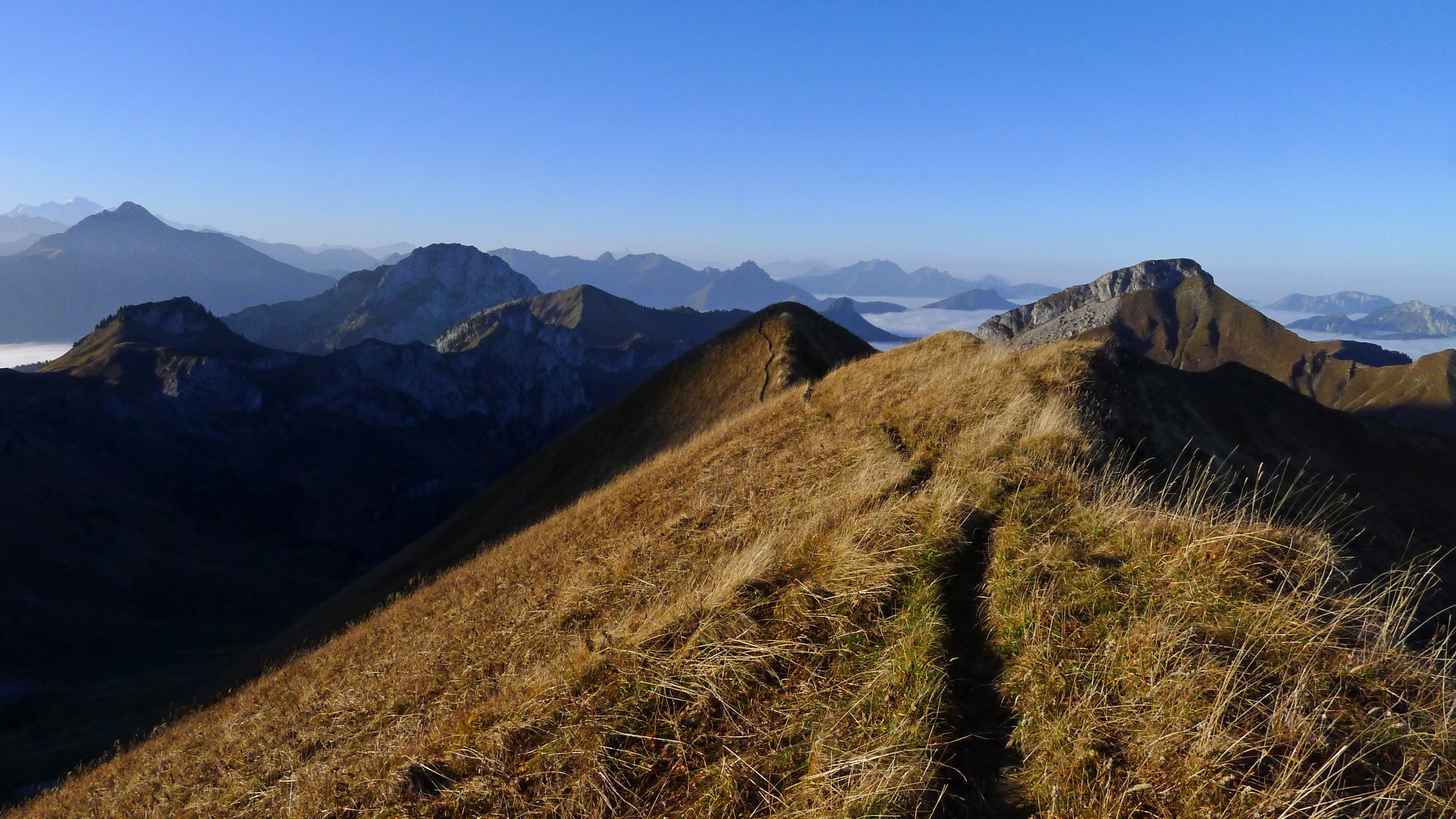
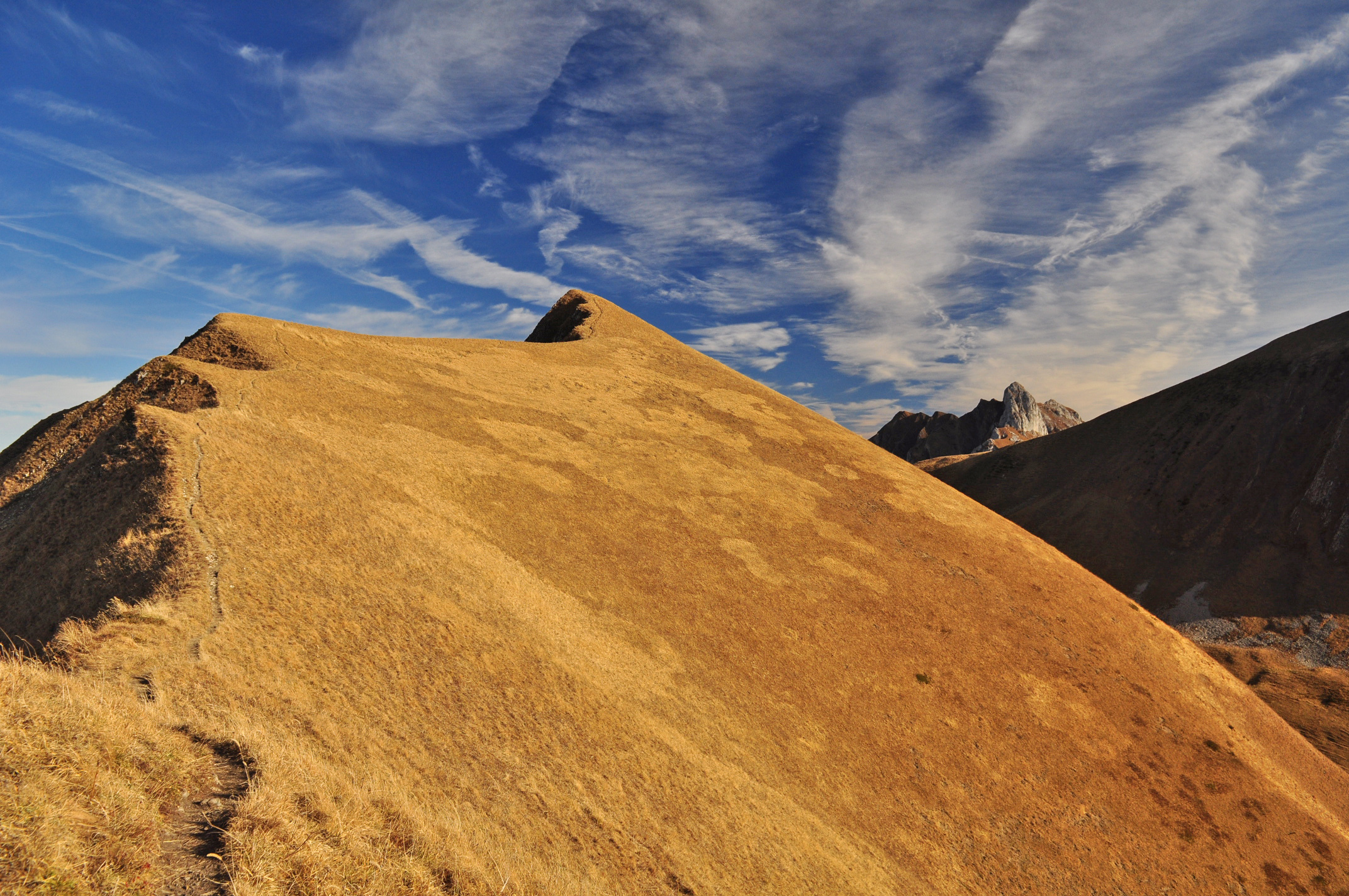
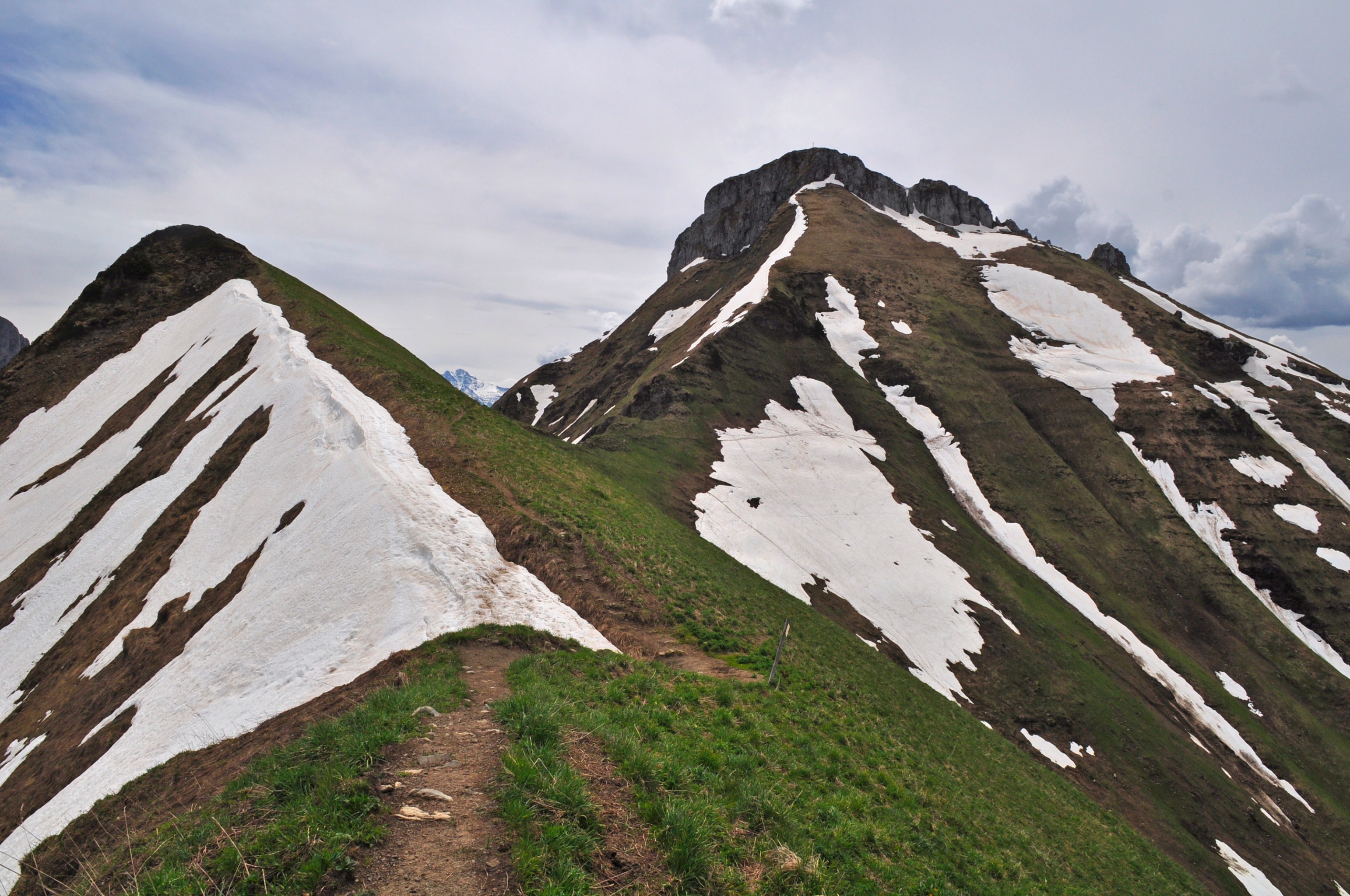
From the La Revenette parking lot (880m), follow the road until the crossroads at the Quatre Chemins (1119m) and continue in the bottom of the dale first in the direction of Lac de Fontaine (1358m) then for the Bise chalets. Then go N to reach the Plateau de la Salle (1535m) then to the NNW by roughly skirting GR5 which leads to the Bise pass (1915m). From the pass completely follow Charousse ridge towards the E to its highest point, Tête de Charousse (2091m on IGN, badly located on this map) just before the rocky molar Dent du Velan (2059m).
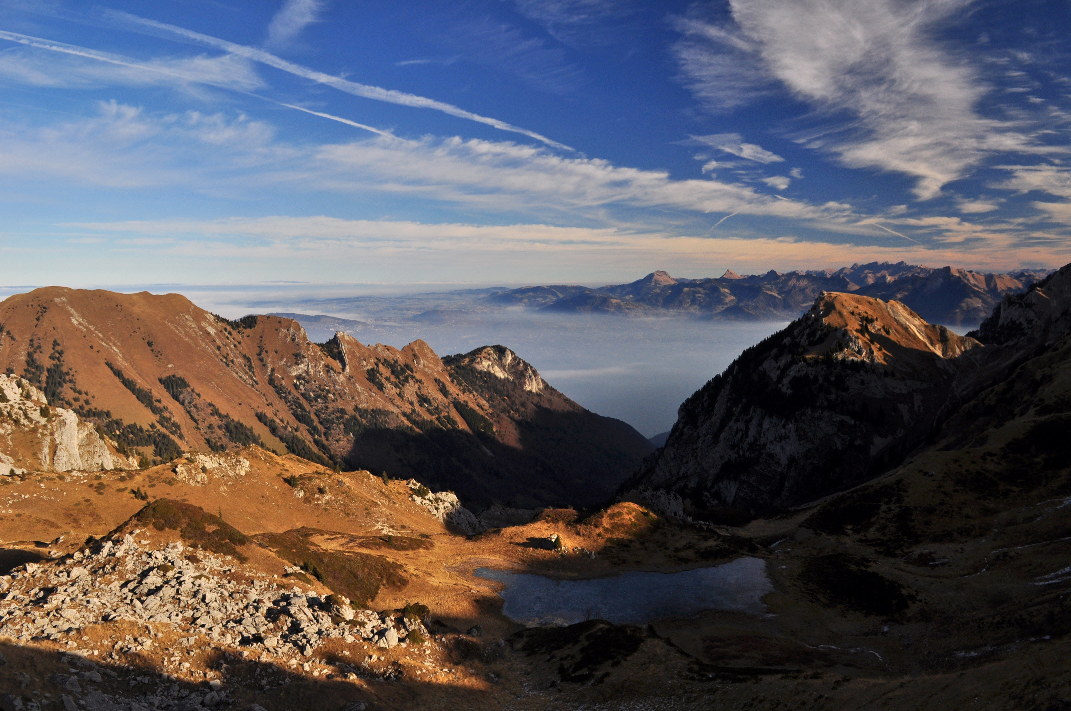
Then descend the S3 slopes in the direction of the basin under Ugeon pass (SE) to reach the Bise chalets cottages by the normal Ugeon pass route which descends by beautiful broad and not very steep slopes (SW). Return to La Revenette by the route taken for the ascent.

The text and images in this page are available
under a Creative Commons CC-by-sa licence.

Download the Whympr App to view this route in 3D.
- Route search (100 000)
- Community returns
- Weather forecast
- Avalanche bulletin
- Race book
- Creation of tracks
- Topographic map (including IGN)