

Open this route in the app to prepare your next outing.

Details
4h - approximately 6 km
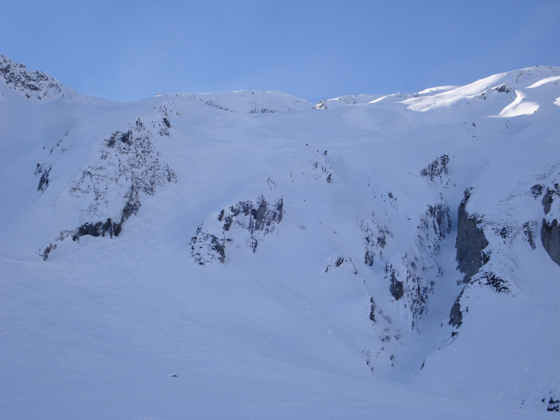
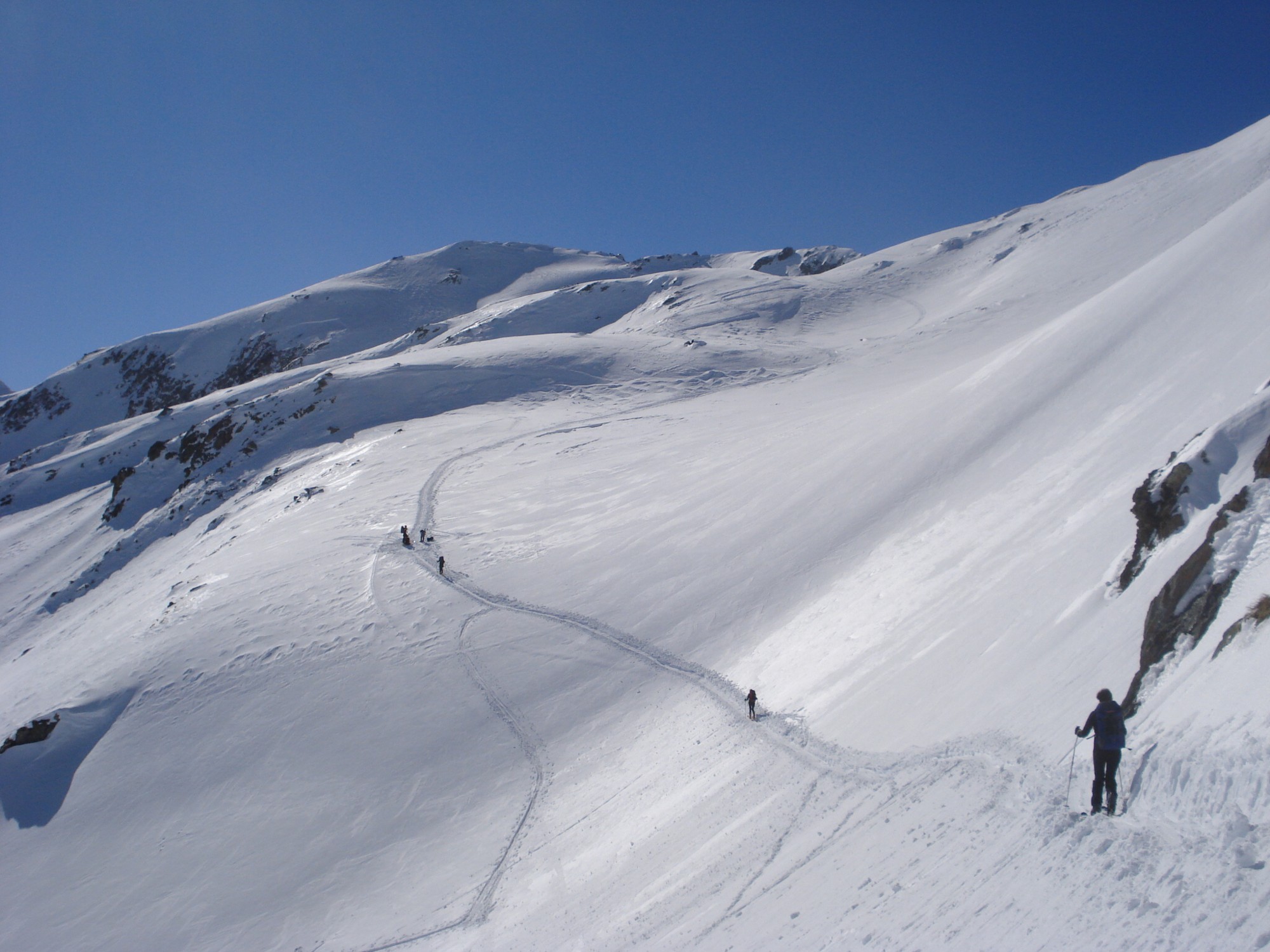
From the Oberalppass station, start with a descent by traversing the high mountain pasture called Plauncas Cuflegl at the foot of steep and avalanchous slopes to the SE then S. Be careful in heavy snow conditions, this high mountain pasture is a genuine source of large sluffs. Around 1900m, to the E of point 1831 (Surpalits), put your skins on. Heading S, you first traverse a depression and its stream. Continue primarily to the S and via gentle slopes go up a broad valley while passing through the Tgatlems high mountain pastures to point 2079. Be careful in this valley as well, sluffs come down from the slopes to the W of Plidutscha.
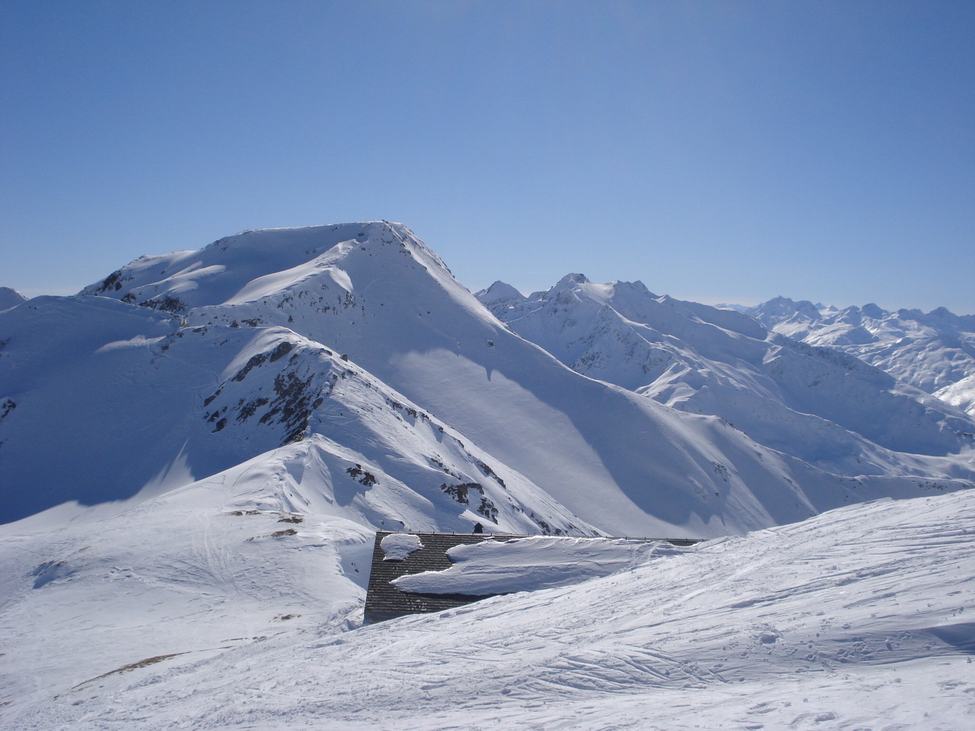
Go diagonally to the right towards the WNW and take the more marked slopes which skirt Fil Tuma. Go up Nurschalas Grondas high mountain pasture while pulling towards the NW until the S ridge of Pazolastock that you reach around 2700m. Follow this ridge as far as the summit.
Descent: return via the same steps until the elevation of approximately 2700m. Then skirt the rock ridge E of Pazolastock until a flat area located around 2500m. A short climb of about thirty meters leads to a sequence of the E ridge making it possible change over to the NE slope of Pazolastock. Final descent by these broad slopes (Puozas) to the station of Oberalppass. You can, of course, also return by the ascent route, which involves finishing by a putting on your skins in order to go back to the station of Oberalppass. One can also plan a descent on Andermatt (HD: -1300m).
At the end of season, when Oberalppass is open to cars, it is possible to reach spot elevation 1831. In this case you start skiing slightly to the W of this elevation.
The route described above is the main variant of the normal Pazolastock route, very popular throughout the season. The two routes, easily accessible and relatively short, make Pazolastock an ideal spot for morning ski touring.
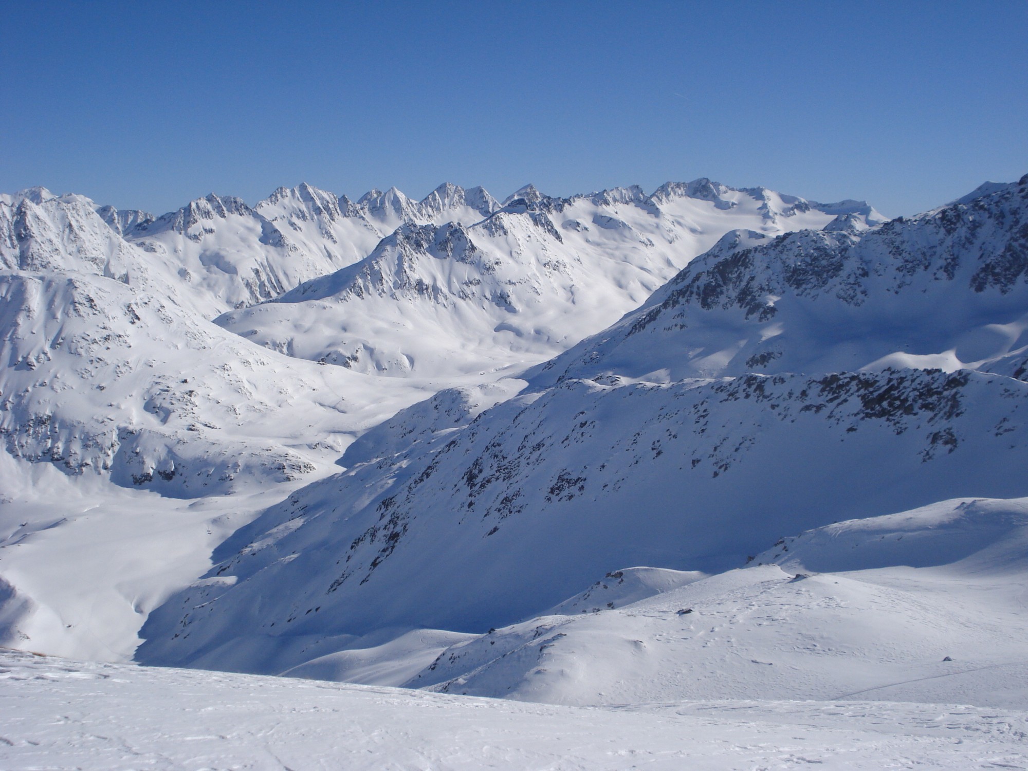
Possibility of reaching Rossbodenstock (2836m) via the crest which passes via Martschallücke (2684m). Possible combinations with all the summits and passes around Camona da Maighels, located more to the S: Badus (2928m), Rossbodenstock (2836m), Martshallücke (2684m) and Piz Cavradis (2614m).

The text and images in this page are available
under a Creative Commons CC-by-sa licence.

Download the Whympr App to view this route in 3D.
- Route search (100 000)
- Community returns
- Weather forecast
- Avalanche bulletin
- Race book
- Creation of tracks
- Topographic map (including IGN)