

Open this route in the app to prepare your next outing.

Details
Approach
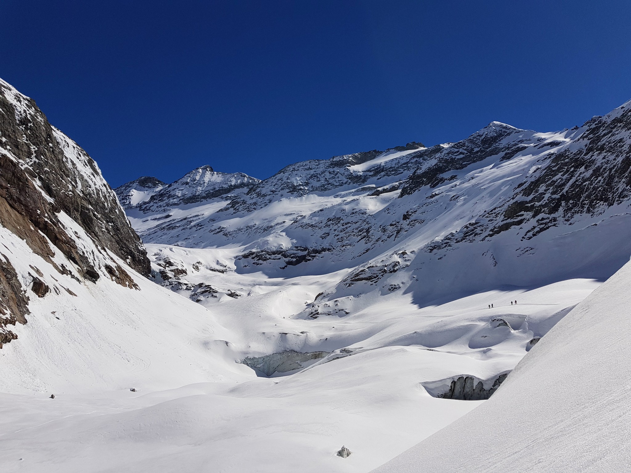
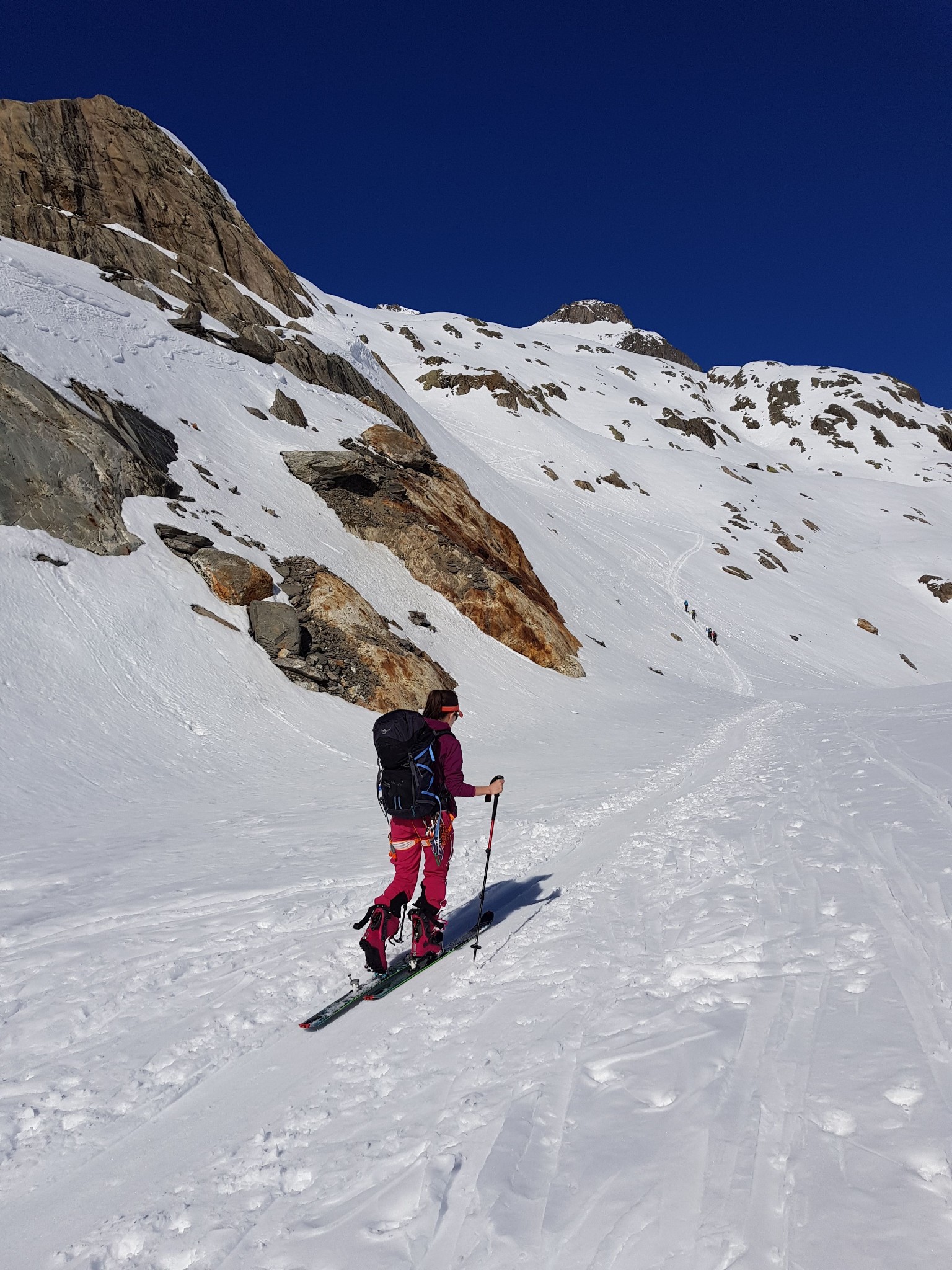
Day 1: Climb to Tré la Tête hotel (1970 m, 750 m HD) or to Conscrits hut (2605 m, 1400m HD). The two days are more equal by climbing to Conscrits refuge. From Cugnon follow the summer trail of Tré la Tête hotel (via Les Plans). Altitude 1970 m. 2h00. Continue on the SE side which dominates Glacier de Tré la Tête arm and climb up 70m of HD. Go towards the flat area and then go down to reach the base of the final arm of Glacier de Tré la Tête. This place is known as Mauvais Pas. It is often necessary to take off your skis. Then go back up the centre of the glacier, then its true right bank. At the level of the ramp marking the ascent trail to the summer refuge, go towards the rocks to avoid a zone of crevasses (seracs of Tré la Grande). You arrive on a flat area that you go up for a distance of 200 or 300m. Here you can see the roof of the refuge on the right bank of the glacier perched 200 m above the glacier. You reach it by one of two snoe bowls. The one located before the spur on which the refuge sits, or the one located after the spur (less steep than the first). It takes 2h30 from Tré la Tête. Altitude 2605 m.
Warning: on the old maps, the hut indicated is the old Conscrits refuge (at 2730 m, 750 m further to the east than the new one). The old refuge was demolished.
Route
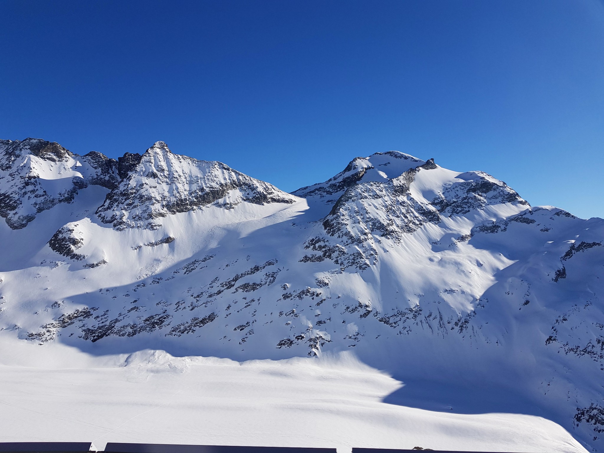
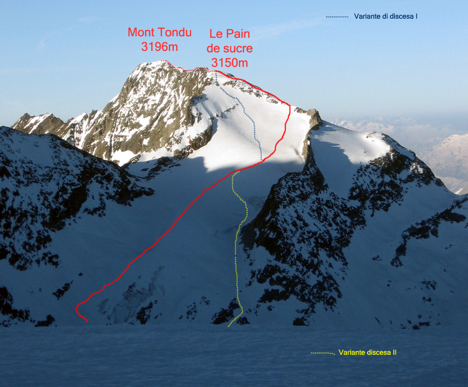
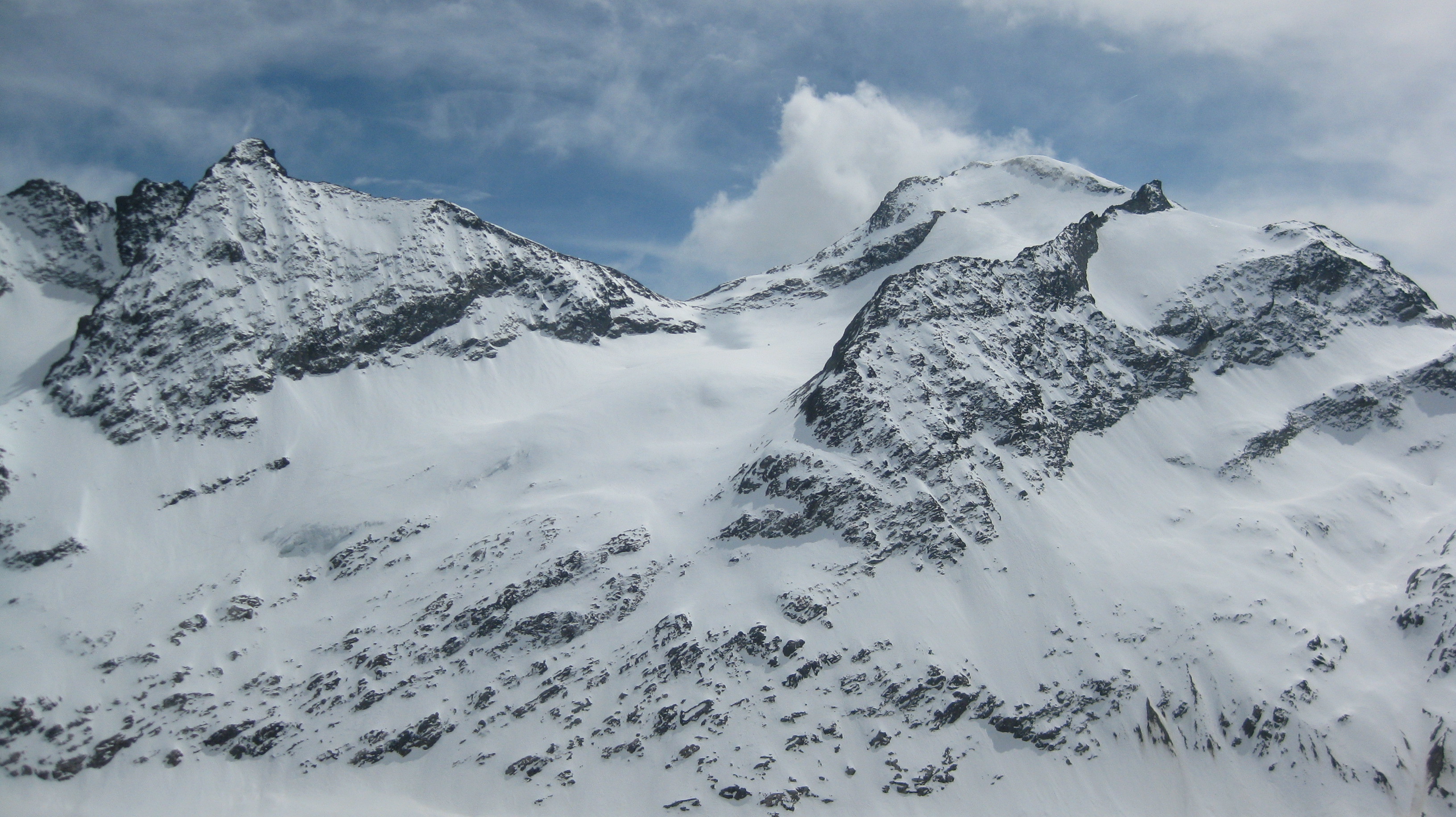
Day 2: From Conscrits hut, go back to the Glacier via the snow bowl taken the day before, or trending to the left (SE) if the snow cover allows it. Traverse the entire width of the glacier, (almost 500m to the altitude of 2450m,) in the direction of the foot of the slope leading to Col des Glaciers (on the right of the Bosse). Climb to the right under this bump. By an ascending traverse on the right (SW) you reach Mont Tondu glacier. Go up it (passing over the small bulge in its centre, to avoid the sluffs coming from Pointe des Lanchettes) until the small pass between Pyramide Chaplan and Pain de Sucre. Go up the ice cap leading to Pain de Sucre on foot. (In summer a line up the broken rocks to the left might be preferable.) Continue as far as the first summit (3169) requiring a few meters of easy climbing. The real summit (3196), 250 m further to the S, is seldom climbed in winter, (airy rock scrambling climbing in summer).
Descent
By the same route (without climbing to the Conscrits hut again). Start in S4 then S3.
Descent variants: From the summit of Pain de Sucre, descend the NE face (100 m at 45°), then the left bank of Glacier du Mont Tondu (35°) to reach Tré la Tête glacier more directly. N.B.: It is preferable to stay on the right bank of Tré la Tête glacier rather than the left bank (increasingly crevassed at the level of Tré la Grande seracs).
Overall timespan for the second day: 6 hours

The text and images in this page are available
under a Creative Commons CC-by-sa licence.

Download the Whympr App to view this route in 3D.
- Route search (100 000)
- Community returns
- Weather forecast
- Avalanche bulletin
- Race book
- Creation of tracks
- Topographic map (including IGN)