

Open this route in the app to prepare your next outing.

Details
Route
From Plaine Joux (1360m) follow the road (Nordic ski track in winter) towards Chatelet. Continue to the Souay chalets, via the Ayères du Milieu chalets. Follow the summer 4x4 track to the foot of the Fiz. The Col d’Anterne hut is visible at the end of the valley. From the hut go directly S up to the summit of the Pointe Noire de Pormenaz,large slope with a little ridge to finish. Variant: Go directly up the Souay torrent, (if there is enough snow) and cut off towards the summit avoiding a detour via the hut.
Descent
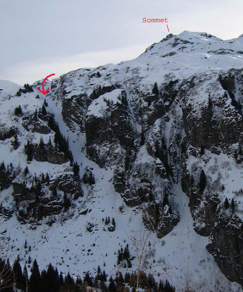
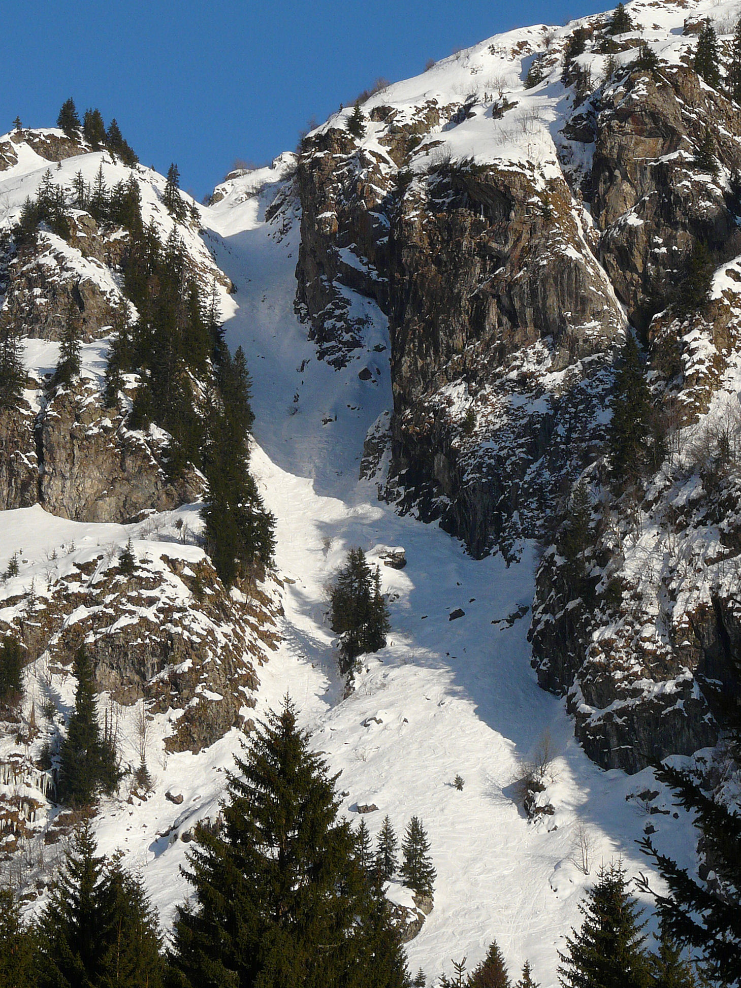
From the summit, go directly down the NW face, S3, towards the Pormenaz lake (2000m). From the lake go westwards to the “Chorde” gully (300m S3/S4). At the base of the gully, cross the torrent then go up diagonally for 50m to the Souay chalets. Follow the approach track, (long and flat!) past Chatelet to Plaine Joux.

The text and images in this page are available
under a Creative Commons CC-by-sa licence.

Download the Whympr App to view this route in 3D.
- Route search (100 000)
- Community returns
- Weather forecast
- Avalanche bulletin
- Race book
- Creation of tracks
- Topographic map (including IGN)